The Hardway
Beach in Kent Dover
England
The Hardway
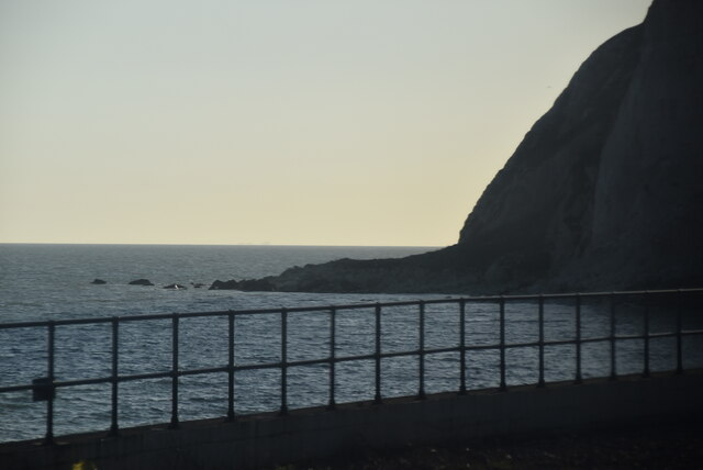
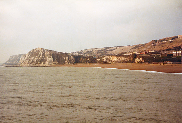
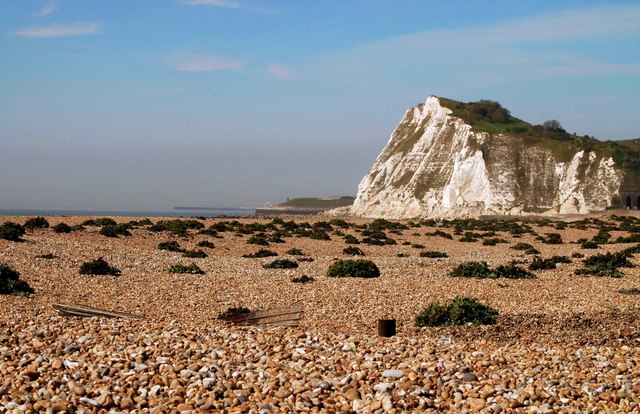
The Hardway is a picturesque beach located in Kent, a county in southeastern England. Situated on the eastern coast of the Isle of Sheppey, it offers stunning views of the North Sea.
The beach's unique feature is its pebbled shoreline, which provides a charming contrast to the sandy beaches commonly found in the region. The smooth and colorful stones are a favorite among visitors, who enjoy collecting them as souvenirs or using them to create unique artwork.
The Hardway is known for its tranquility and natural beauty, attracting both locals and tourists seeking a peaceful seaside experience. The absence of crowds and commercial establishments makes it an ideal spot for relaxation and contemplation.
Visitors to The Hardway can partake in various activities such as sunbathing, picnicking, and beachcombing. The crystal-clear waters offer opportunities for swimming, although caution is advised due to the absence of lifeguards. The beach is also popular with birdwatchers, who come to observe the diverse bird species that inhabit the area.
Access to The Hardway is convenient, with a car park located nearby for those arriving by vehicle. Additionally, public transportation options are available, allowing easy access for those using buses or trains.
Overall, The Hardway in Kent is a hidden gem for beach enthusiasts seeking a peaceful and scenic retreat. Its unique pebbled shoreline, tranquil atmosphere, and stunning coastal views make it a must-visit destination for nature lovers and those looking to escape the hustle and bustle of everyday life.
If you have any feedback on the listing, please let us know in the comments section below.
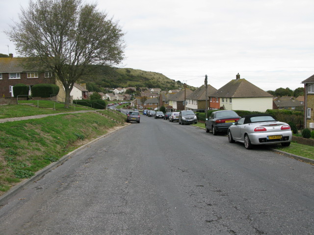
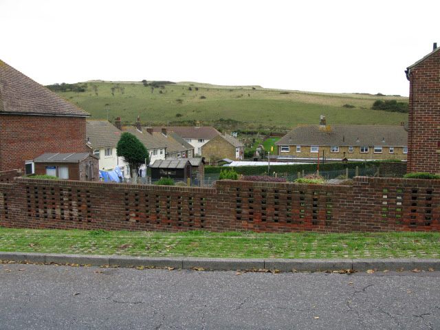
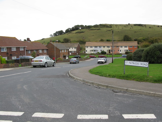
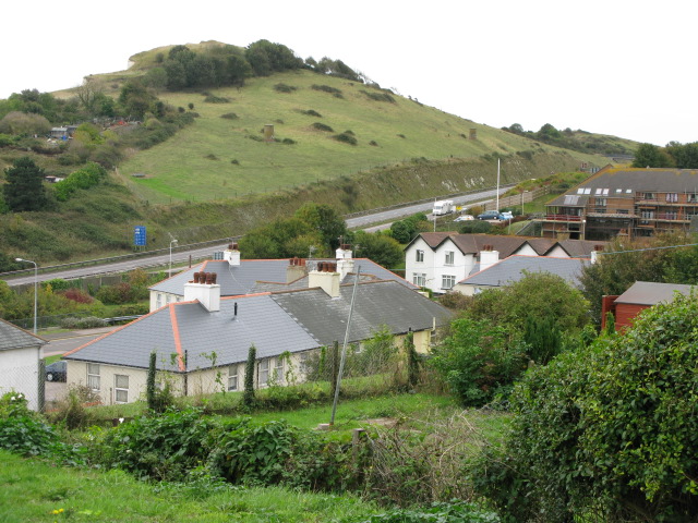
The Hardway Images
Images are sourced within 2km of 51.117537/1.3123854 or Grid Reference TR3140. Thanks to Geograph Open Source API. All images are credited.
The Hardway is located at Grid Ref: TR3140 (Lat: 51.117537, Lng: 1.3123854)
Administrative County: Kent
District: Dover
Police Authority: Kent
What 3 Words
///unzipped.cheat.peanut. Near Dover, Kent
Nearby Locations
Related Wikis
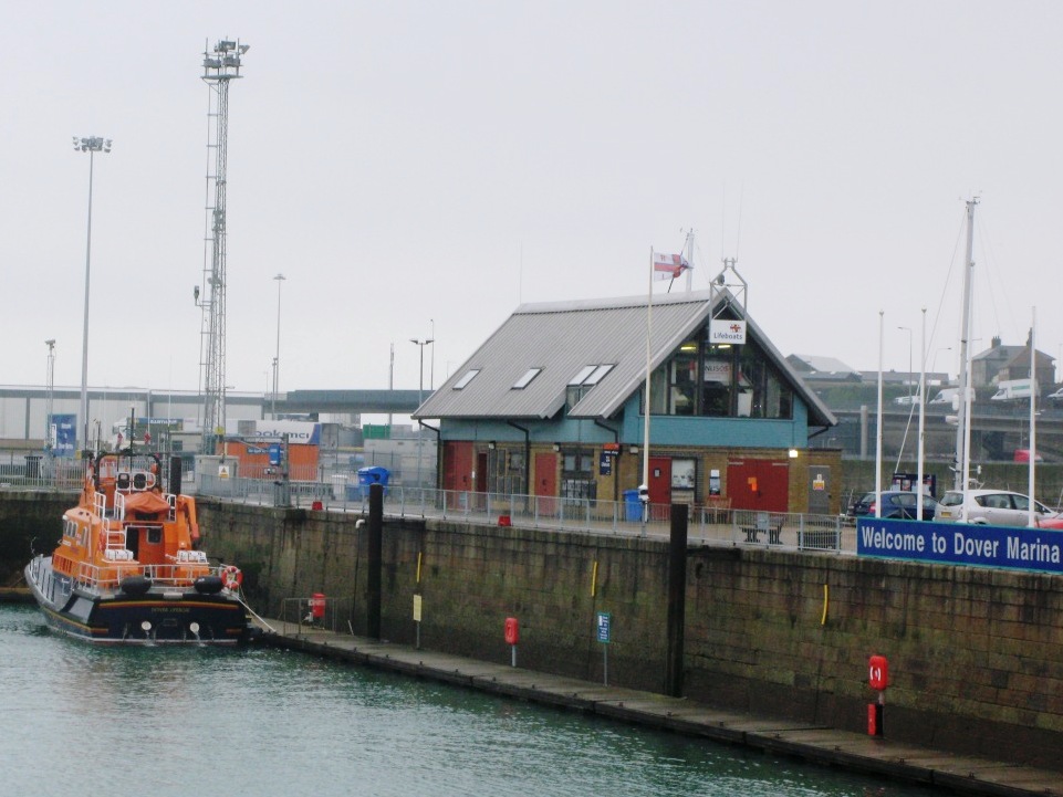
Dover Lifeboat Station
Dover Lifeboat Station is a Royal National Lifeboat Institution (RNLI) lifeboat station located in the town of Dover in the English county of Kent. The...

HMS Glatton (1914)
HMS Glatton and her sister ship Gorgon were originally built as coastal defence ships for the Royal Norwegian Navy, as Bjørgvin and Nidaros respectively...

Dover firebomb attack
On 30 October 2022, a petrol bomb attack was perpetrated against a Border Force centre for processing migrants in Dover, Kent, England. Two people suffered...

Dover lorry deaths
On 18 June 2000, just before midnight, 58 dead bodies were found in a lorry in the port town of Dover, United Kingdom. Two people were found alive but...
Nearby Amenities
Located within 500m of 51.117537,1.3123854Have you been to The Hardway?
Leave your review of The Hardway below (or comments, questions and feedback).