Bulwark Rock
Coastal Feature, Headland, Point in Kent
England
Bulwark Rock
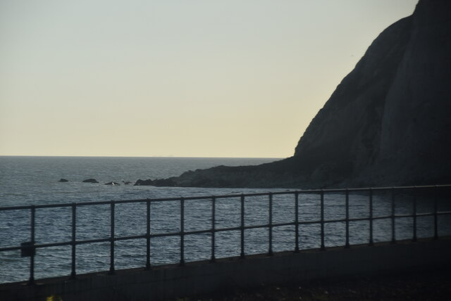
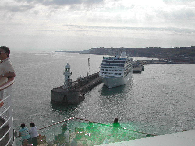
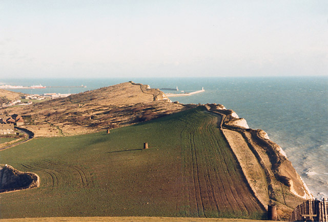
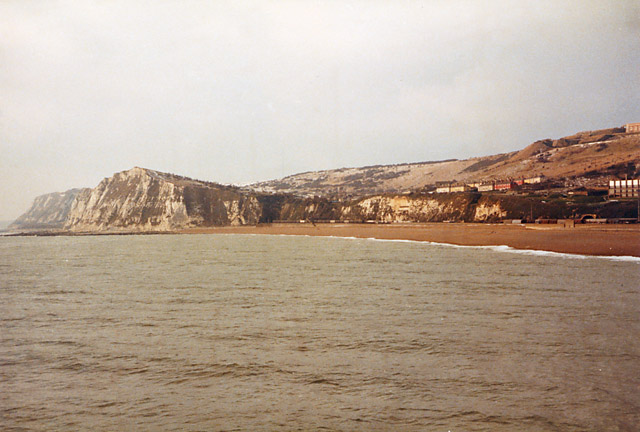
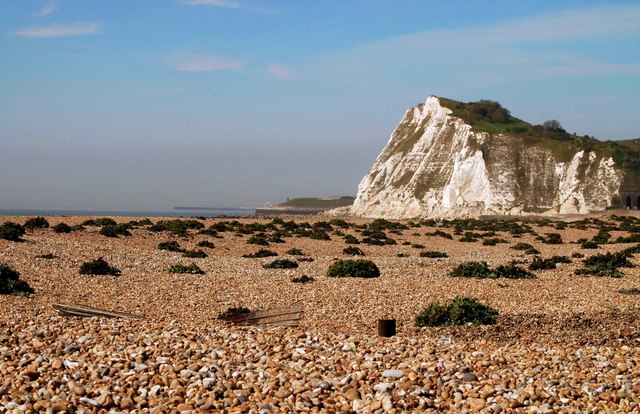
Bulwark Rock is a prominent coastal feature located in Kent, England. It is classified as a headland, characterized by its rugged cliffs and rocky terrain. Situated along the coast of the English Channel, it stands as a natural boundary between the land and the sea.
The rock gets its name from its distinctive shape, resembling a bulwark or protective barrier. It juts out into the ocean, forming a point that offers breathtaking views of the surrounding coastline. The headland provides a stunning vantage point for visitors to observe the beauty of the ocean and the diverse marine life that inhabits the area.
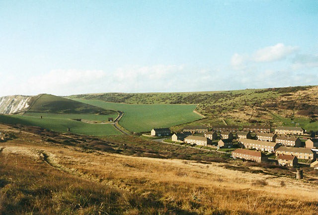
Bulwark Rock is composed mainly of chalk, a sedimentary rock that is common in this region. Over the years, the relentless pounding of the waves has shaped the rock, resulting in dramatic cliffs and unique formations. These cliffs serve as nesting grounds for various seabird species, such as gulls and cormorants, adding to the ecological significance of the area.
The headland is a popular destination for nature enthusiasts and hikers, who are drawn to its natural beauty and rugged charm. Several walking trails traverse the area, allowing visitors to explore the rocky coastline and enjoy the stunning views. Additionally, the nearby coastal town offers amenities such as cafes, shops, and accommodations for those wishing to extend their visit.
Bulwark Rock, with its majestic cliffs and panoramic views, is a captivating coastal feature that showcases the natural splendor of the Kent coastline.
If you have any feedback on the listing, please let us know in the comments section below.
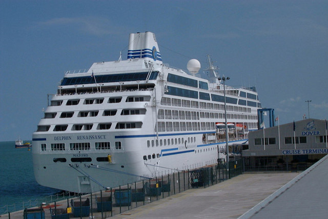
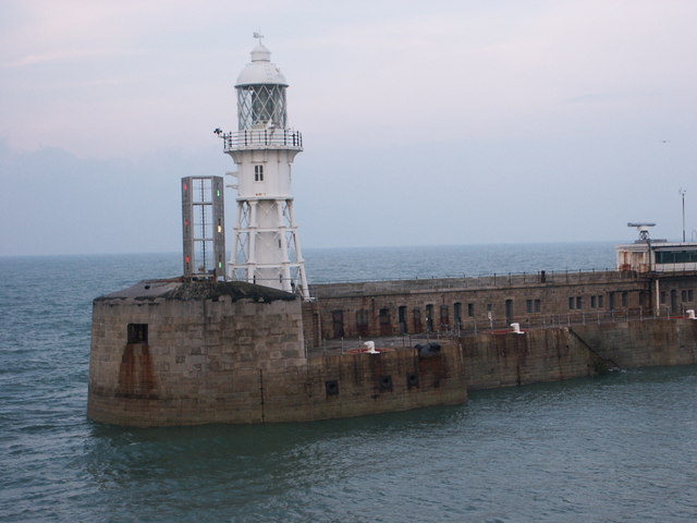
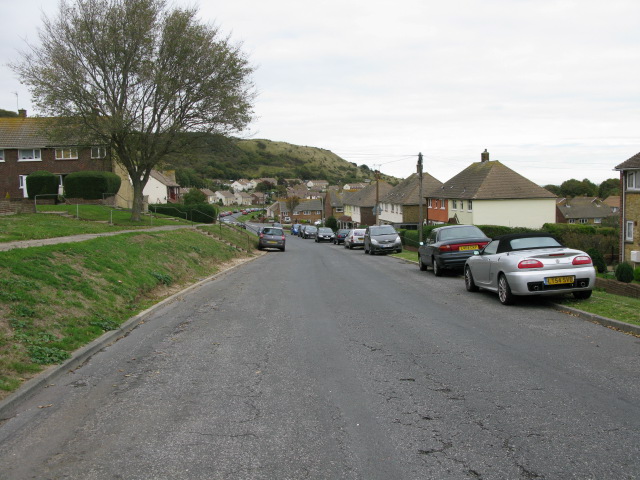
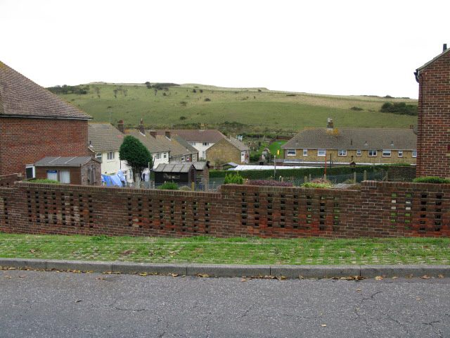
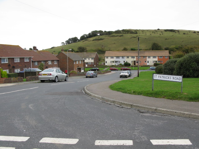
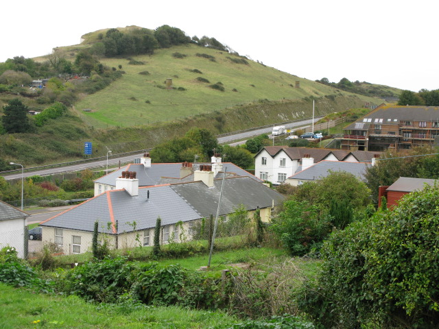
Bulwark Rock Images
Images are sourced within 2km of 51.113429/1.3075326 or Grid Reference TR3140. Thanks to Geograph Open Source API. All images are credited.
Bulwark Rock is located at Grid Ref: TR3140 (Lat: 51.113429, Lng: 1.3075326)
Administrative County: Kent
Police Authority: Kent
What 3 Words
///rungs.hired.premature. Near Dover, Kent
Nearby Locations
Related Wikis

Dover firebomb attack
On 30 October 2022, a petrol bomb attack was perpetrated against a Border Force centre for processing migrants in Dover, Kent, England. Two people suffered...
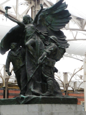
Dover Marine War Memorial
Dover Marine War Memorial stands in the old Dover Marine Station in the Western Docks, Dover, England. The port has effectively been closed for several...
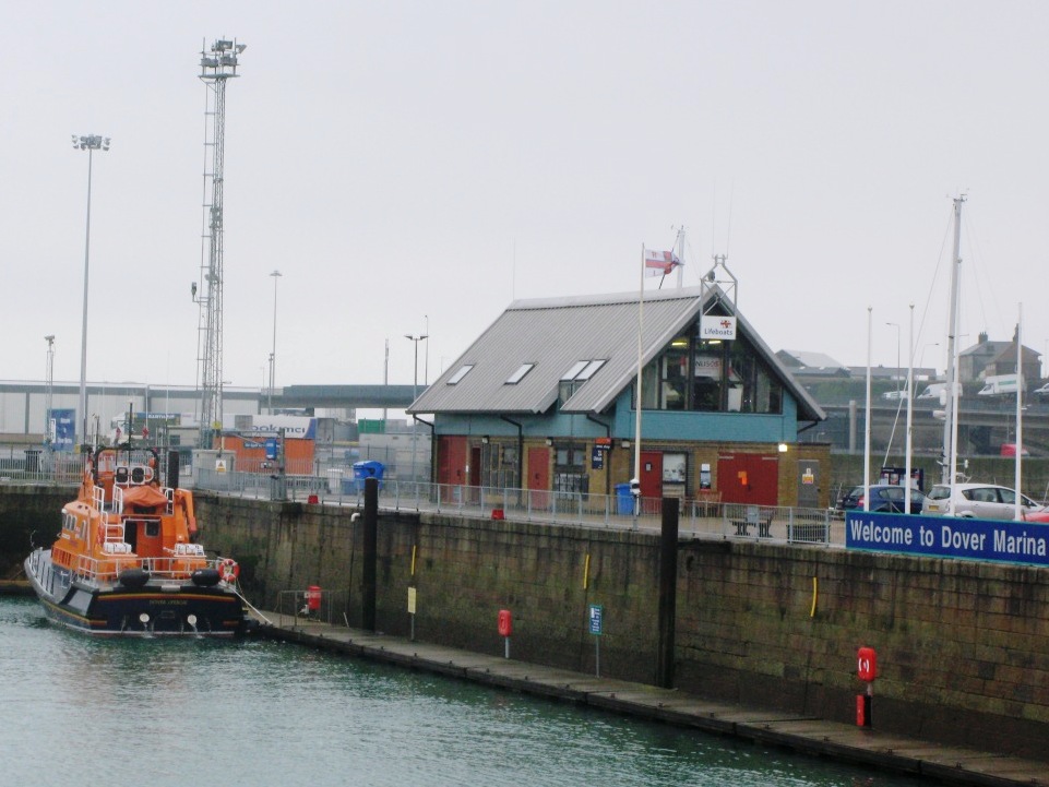
Dover Lifeboat Station
Dover Lifeboat Station is a Royal National Lifeboat Institution (RNLI) lifeboat station located in the town of Dover in the English county of Kent. The...

Knights Templar Church, Dover
The Knights Templar Church in Dover is the ruins of a medieval church on Bredenstone hill, part of the Dover Western Heights in Kent, England. It has been...
Nearby Amenities
Located within 500m of 51.113429,1.3075326Have you been to Bulwark Rock?
Leave your review of Bulwark Rock below (or comments, questions and feedback).