Wellington Dock
Lake, Pool, Pond, Freshwater Marsh in Kent Dover
England
Wellington Dock
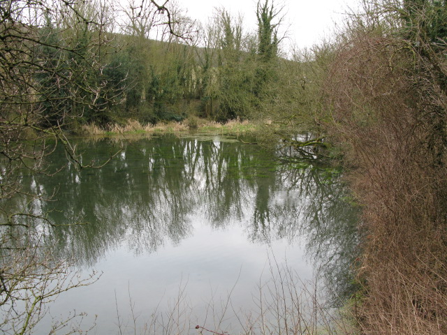
Wellington Dock, located in Kent, is a freshwater marsh that serves as a lake, pool, and pond, providing a diverse ecosystem and habitat for various species of flora and fauna. This natural reserve covers an area of approximately 20 hectares, making it an important site for wildlife conservation and research.
The dock is characterized by its calm and serene waters, which are surrounded by lush green vegetation and reed beds. These reed beds act as a natural filter, maintaining the water quality by absorbing excess nutrients and pollutants. The marshland is fed by several small streams and springs, ensuring a constant flow of freshwater and creating a thriving environment for aquatic life.
The diverse range of plant species found in Wellington Dock includes water lilies, water crowfoot, and various types of floating and submerged aquatic plants. These plants not only provide food and shelter for numerous species of fish, amphibians, and invertebrates but also contribute to the overall health of the ecosystem by oxygenating the water.
The dock is home to a wide array of bird species, including kingfishers, herons, and various types of waterfowl. These birds are attracted to the area due to the abundance of food sources and the peaceful environment offered by Wellington Dock. The marshland also provides an important breeding ground for many bird species, contributing to the local biodiversity.
Overall, Wellington Dock serves as a vital freshwater ecosystem within Kent, providing a sanctuary for numerous plant and animal species. It offers visitors an opportunity to observe and appreciate the beauty and tranquility of a well-preserved natural habitat.
If you have any feedback on the listing, please let us know in the comments section below.
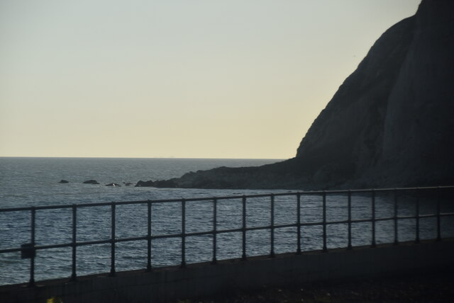
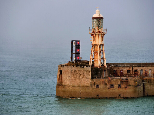
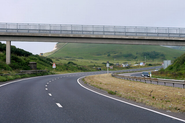
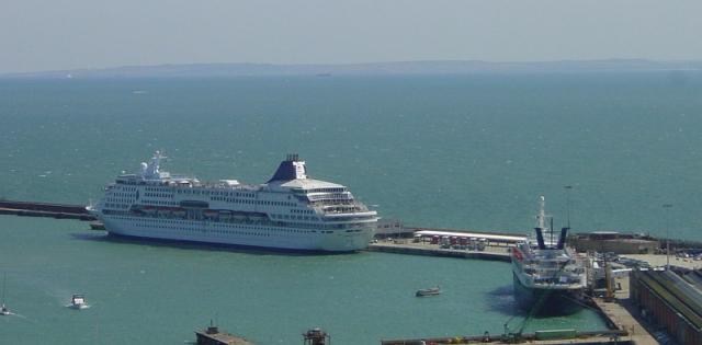
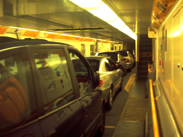
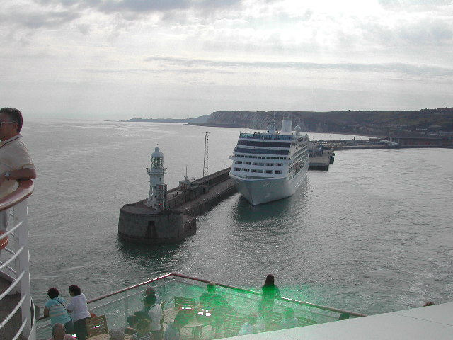
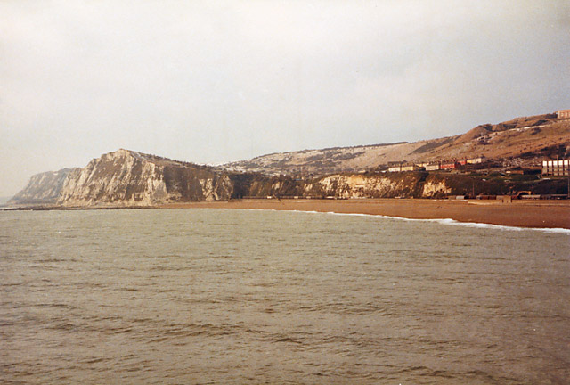
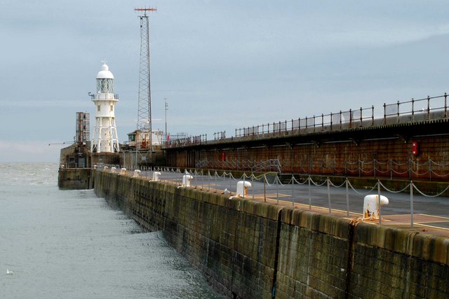
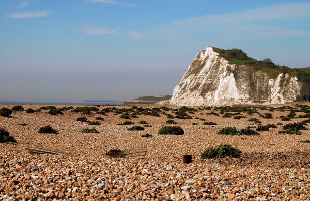
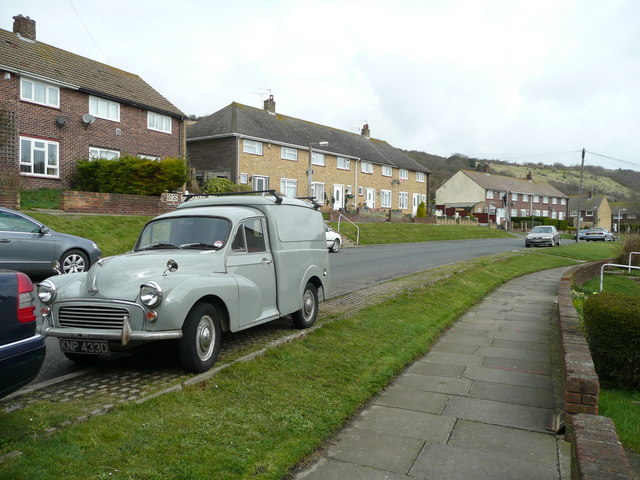
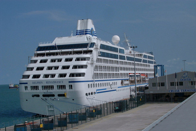
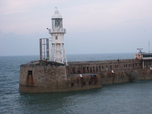
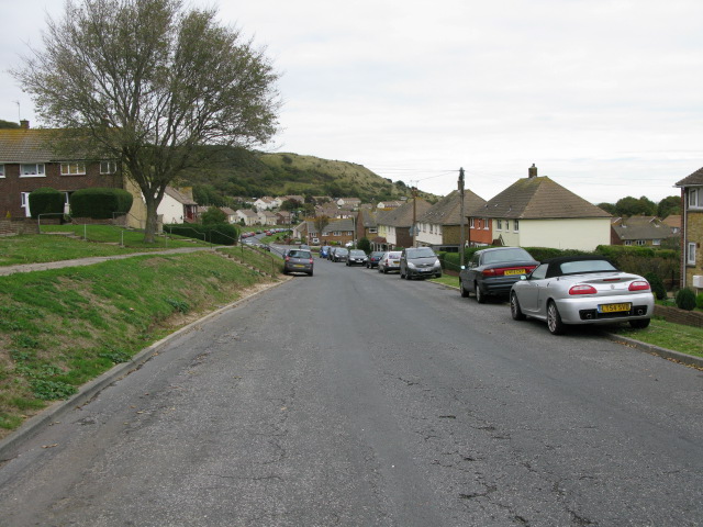
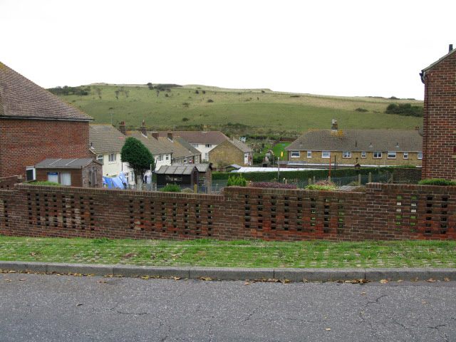
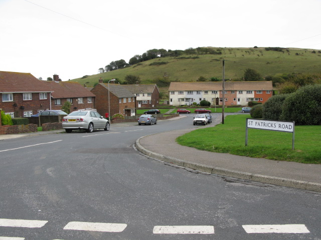
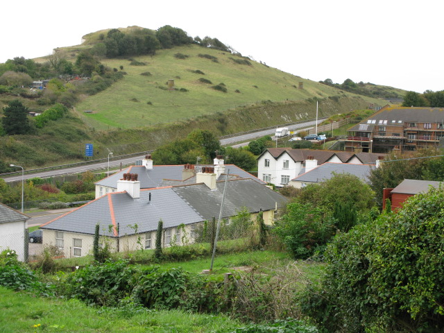
Wellington Dock Images
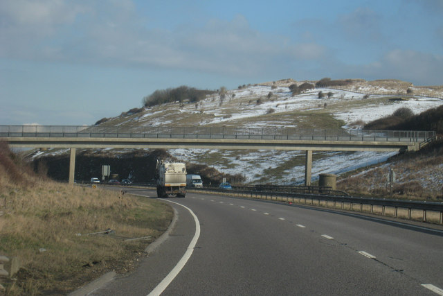
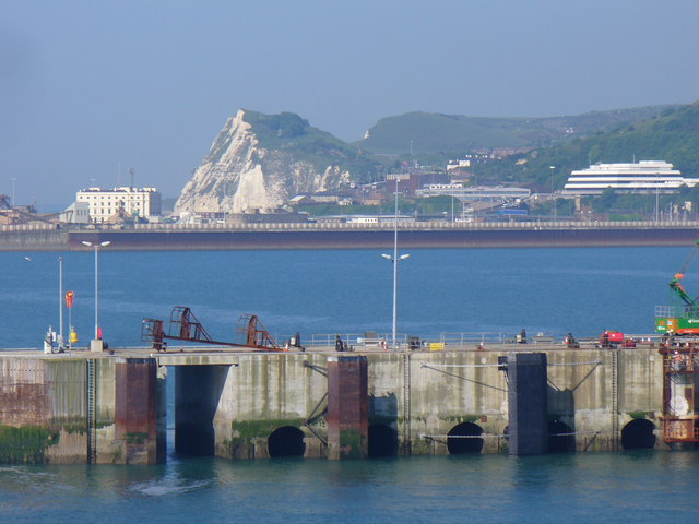
Images are sourced within 2km of 51.120459/1.3114797 or Grid Reference TR3140. Thanks to Geograph Open Source API. All images are credited.
Wellington Dock is located at Grid Ref: TR3140 (Lat: 51.120459, Lng: 1.3114797)
Administrative County: Kent
District: Dover
Police Authority: Kent
What 3 Words
///bashful.clashing.alarmed. Near Dover, Kent
Nearby Locations
Related Wikis

Dover lorry deaths
On 18 June 2000, just before midnight, 58 dead bodies were found in a lorry in the port town of Dover, United Kingdom. Two people were found alive but...
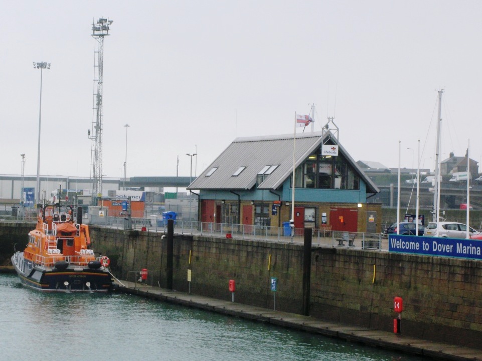
Dover Lifeboat Station
Dover Lifeboat Station is a Royal National Lifeboat Institution (RNLI) lifeboat station located in the town of Dover in the English county of Kent. The...
River Dour
The River Dour is a chalk stream in the county of Kent, England. It flows from the villages of Temple Ewell and River between which is a neighbourhood...
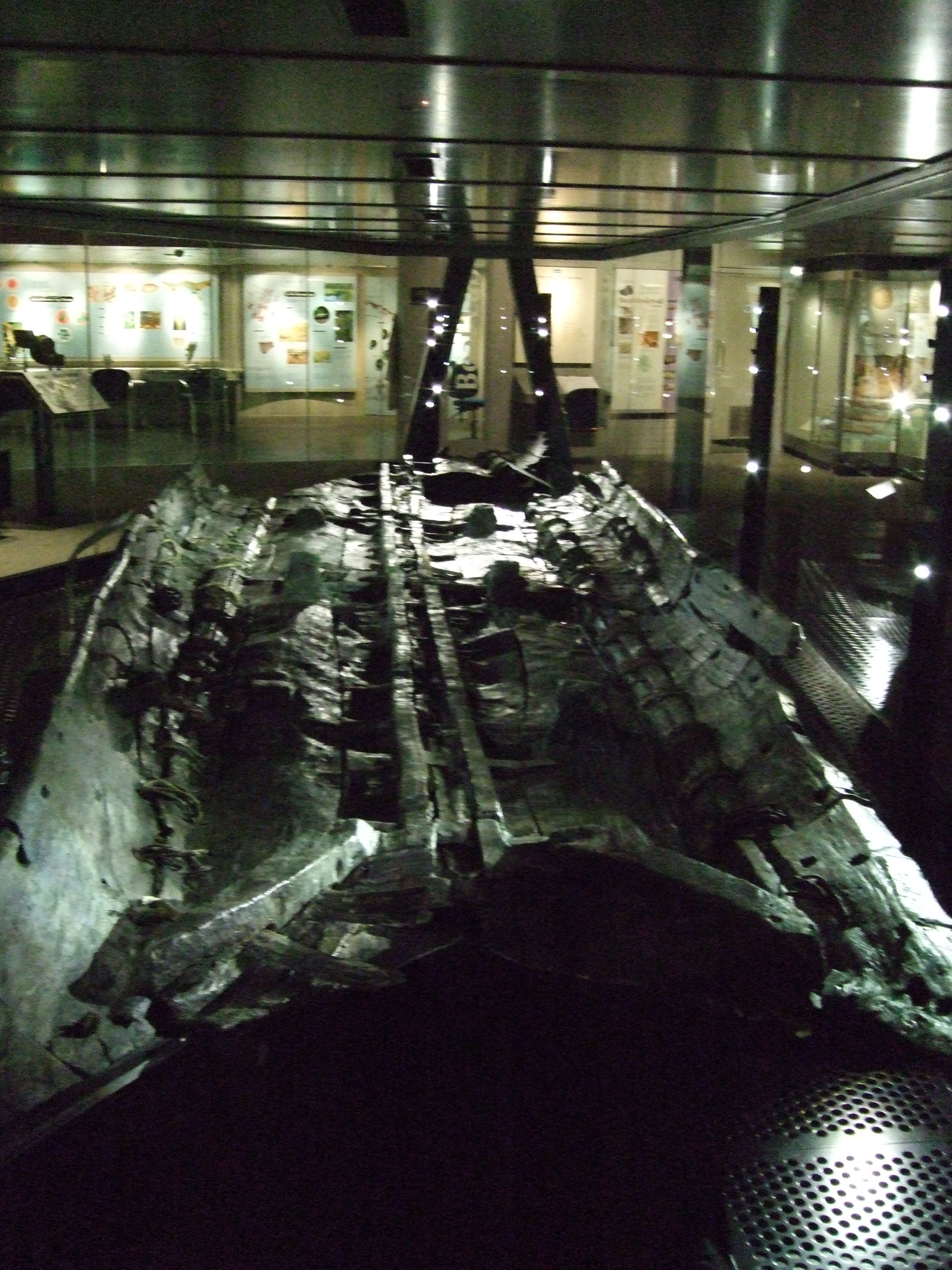
Dover Bronze Age Boat
The Dover Bronze Age boat is one of fewer than 20 Bronze Age boats so far found in Britain. It dates to 1575–1520 BC, which may make it one of the oldest...
Nearby Amenities
Located within 500m of 51.120459,1.3114797Have you been to Wellington Dock?
Leave your review of Wellington Dock below (or comments, questions and feedback).