Western Bank
Settlement in Cumberland Allerdale
England
Western Bank
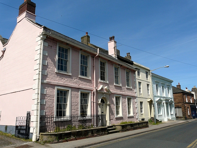
Western Bank is a small town located in Cumberland County, a picturesque region in the western part of the state. Situated on the banks of the Cumberland River, the town is known for its natural beauty and rich history. With a population of around 3,000 residents, Western Bank maintains a close-knit community atmosphere.
The town was founded in the mid-19th century during the height of the timber industry in the region. It served as a vital transportation hub, with the Cumberland River providing a convenient route for shipping timber downstream. Today, remnants of this industrial past can still be seen in the form of old lumber mills and warehouses.
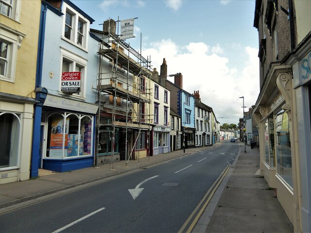
Western Bank offers a variety of amenities to its residents and visitors. The town boasts several parks and recreational areas, including a waterfront park along the river, perfect for picnicking or enjoying water activities. The downtown area is home to a range of local businesses, including charming boutiques, family-owned restaurants, and historical landmarks.
Education is highly valued in Western Bank, with a strong emphasis on providing quality schooling for its residents. The town is served by several public schools, known for their dedicated faculty and high academic standards. Additionally, Western Bank is home to a community college, offering a range of higher education opportunities to local students.
Overall, Western Bank, Cumberland, is a quaint town nestled in the scenic beauty of Cumberland County. Its rich history, natural surroundings, and friendly community make it an ideal place to live or visit for those seeking a peaceful and charming atmosphere.
If you have any feedback on the listing, please let us know in the comments section below.
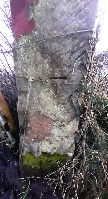
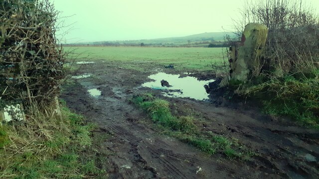
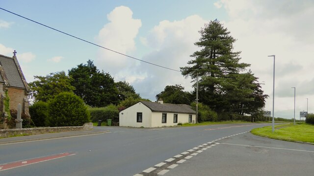
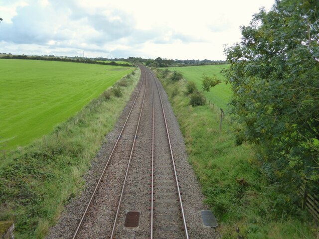
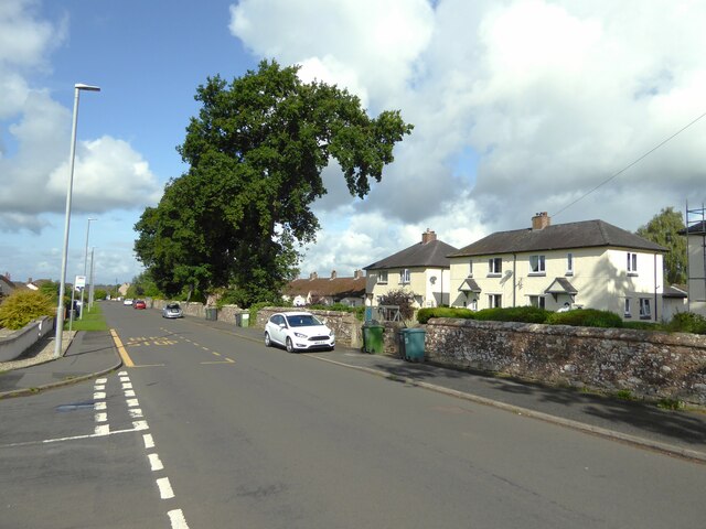
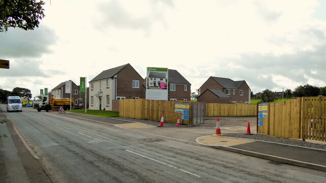
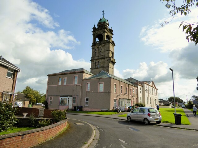
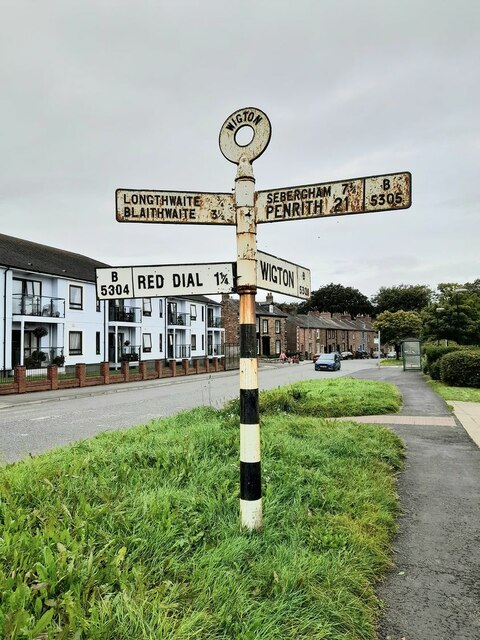
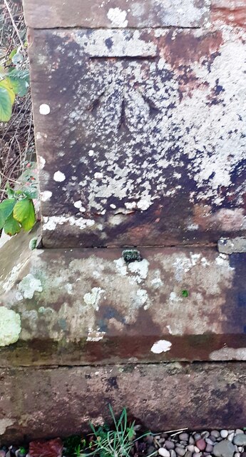
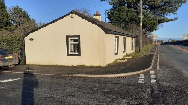
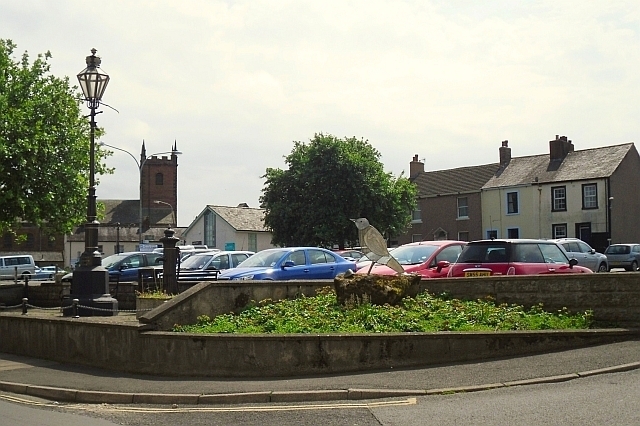
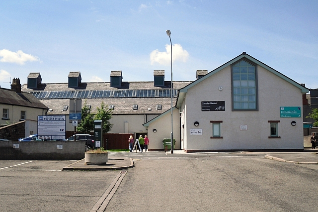
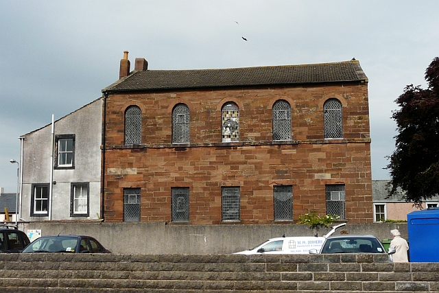
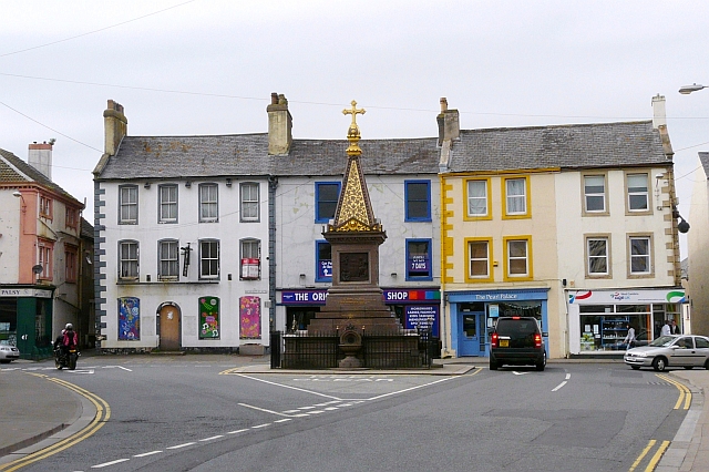
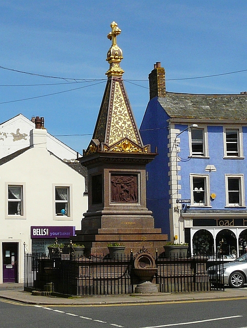
Western Bank Images
Images are sourced within 2km of 54.821928/-3.1772099 or Grid Reference NY2448. Thanks to Geograph Open Source API. All images are credited.

Western Bank is located at Grid Ref: NY2448 (Lat: 54.821928, Lng: -3.1772099)
Administrative County: Cumbria
District: Allerdale
Police Authority: Cumbria
What 3 Words
///quench.leap.wheat. Near Wigton, Cumbria
Nearby Locations
Related Wikis

Wigton School
Wigton School (also called Brookfield School or Friends' School) was an independent boarding school on the outskirts of Wigton, Cumbria. The school was...
Brookfield railway station (England)
Brookfield (Cumbria) railway station was a short-lived railway station that served Brookfield School (or Brookfield Academy), a Quaker school situated...
Wigton Rural District
Wigton was a rural district in Cumberland, England from 1894 to 1974. It was created by the Local Government Act 1894 based on Wigton rural sanitary district...
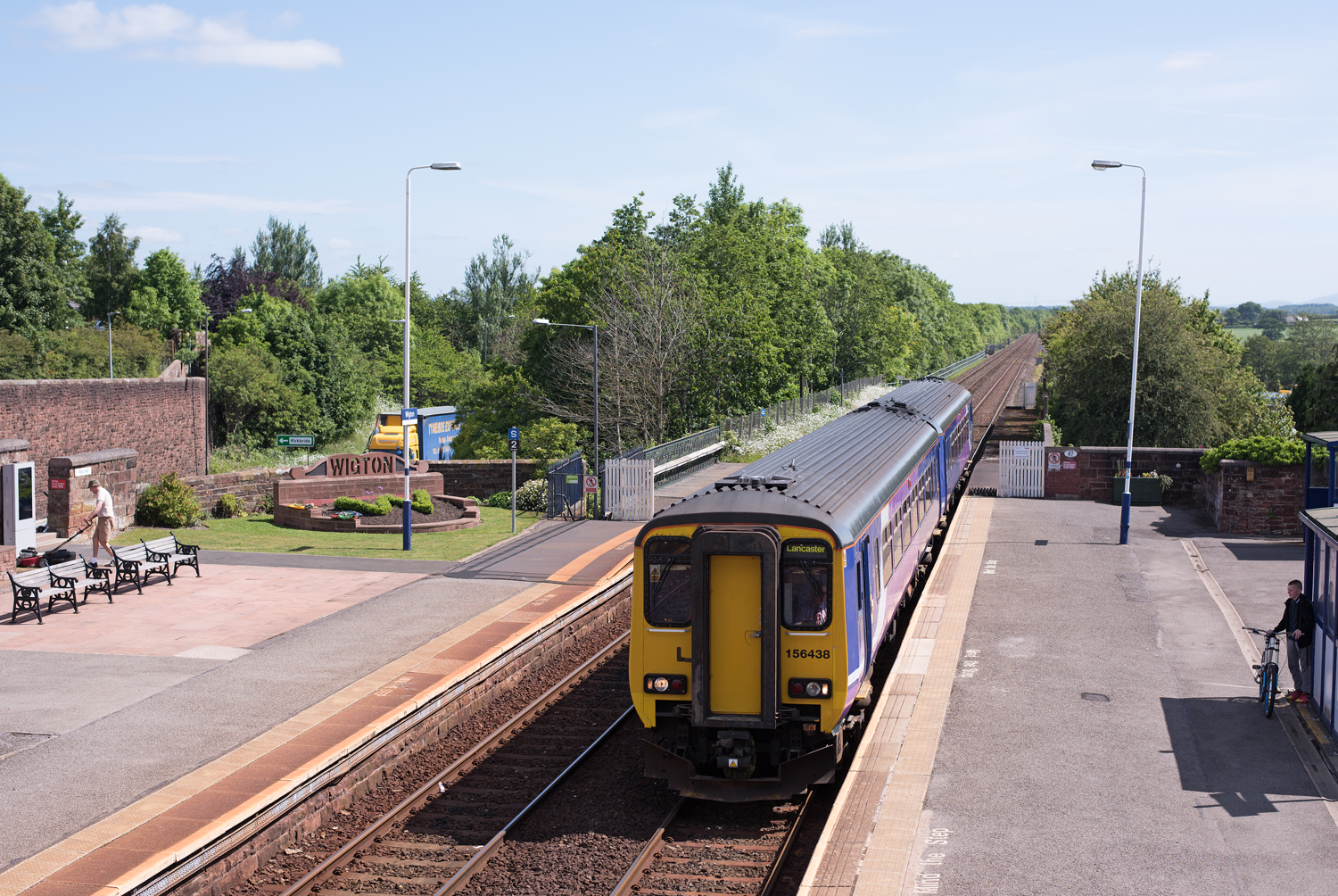
Wigton railway station
Wigton railway station is a railway station serving the market town of Wigton in Cumbria, England. It is on the Cumbrian Coast Line, which runs between...
Nearby Amenities
Located within 500m of 54.821928,-3.1772099Have you been to Western Bank?
Leave your review of Western Bank below (or comments, questions and feedback).