Westermains

Settlement in Dunbartonshire

Scotland

Westermains

East Dunbartonshire College Situated in Southbank Road above the Forth & Clyde Canal close to the centre of Kirkintilloch.  The ongoing development has not been kind to the bankside trees in the foreground.
East Dunbartonshire College Credit: A-M-Jervis

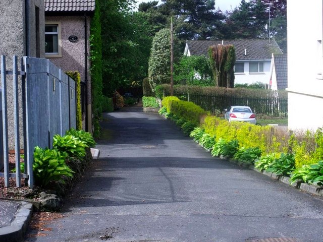
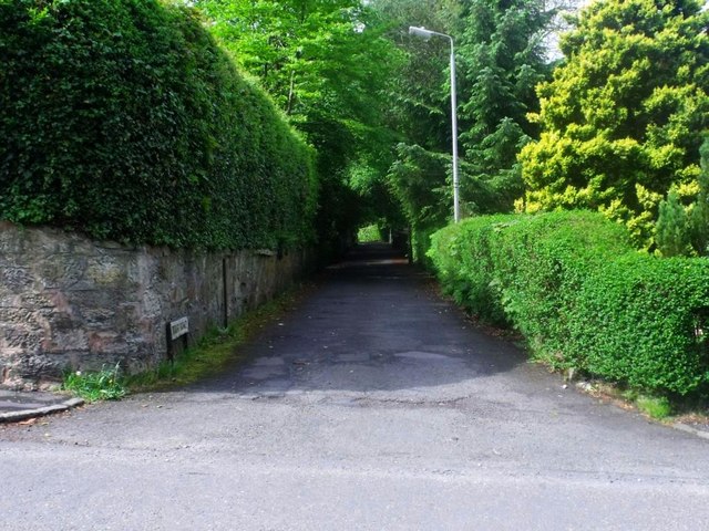
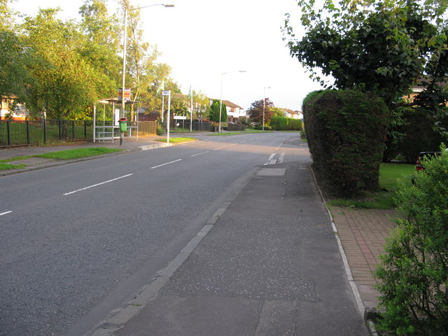
Westermains is a quaint village nestled in the scenic region of Dunbartonshire, Scotland. It is located just a few miles northwest of the bustling town of Bearsden and boasts a population of approximately 1,000 residents. The village is surrounded by picturesque countryside, offering breathtaking views of rolling hills and lush green landscapes.

One of the defining features of Westermains is its rich history, dating back several centuries. The village is home to a number of well-preserved historic buildings, including cottages and farmhouses that showcase traditional Scottish architecture. These buildings serve as a testament to the village's rural heritage.

Despite its small size, Westermains offers a range of amenities to its residents. The village has a primary school, providing education to the local children, and a community center that hosts various events and activities throughout the year. There are also a few local shops and amenities, ensuring that residents have access to essential goods and services.

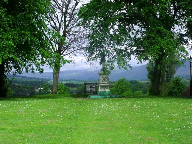
For outdoor enthusiasts, Westermains is a paradise. The surrounding countryside offers ample opportunities for hiking, cycling, and exploring nature. The village also benefits from its proximity to Loch Lomond and The Trossachs National Park, allowing residents to easily access the stunning natural beauty of the area.

Overall, Westermains is a close-knit community that embraces its rural charm and offers residents a peaceful and idyllic lifestyle amidst the stunning Scottish countryside.

If you have any feedback on the listing, please let us know in the comments section below.
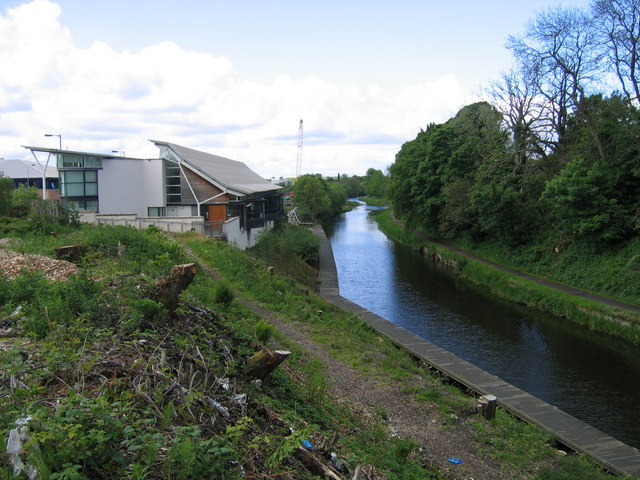
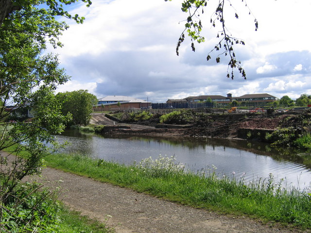
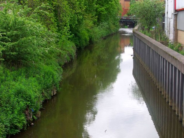
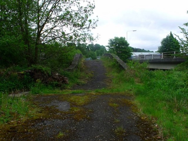
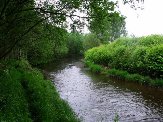
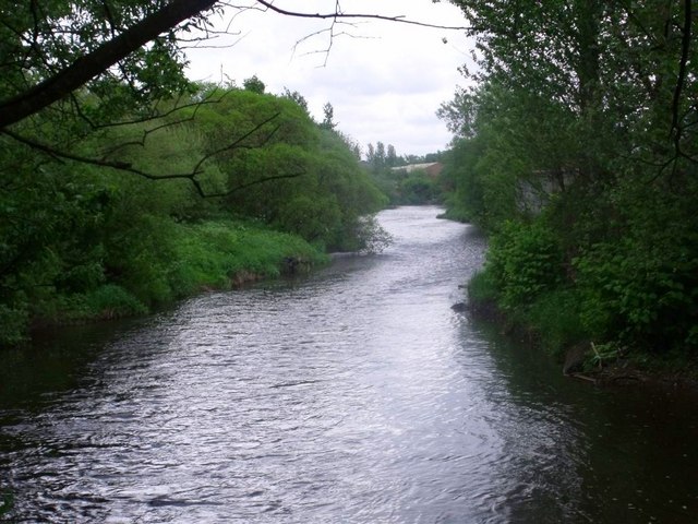
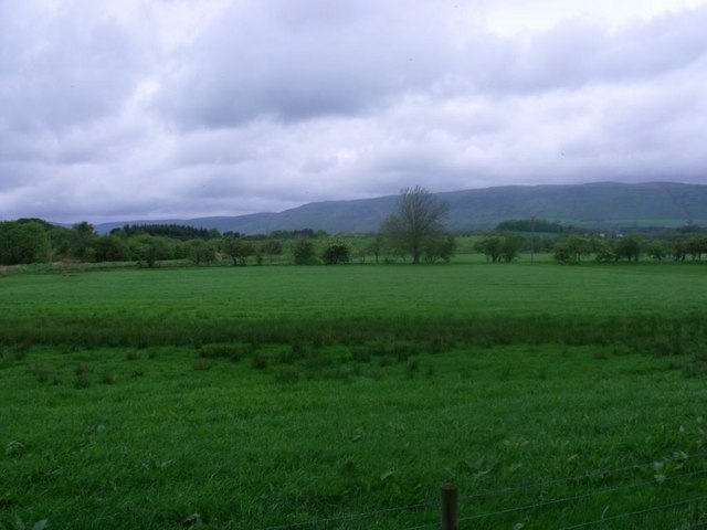
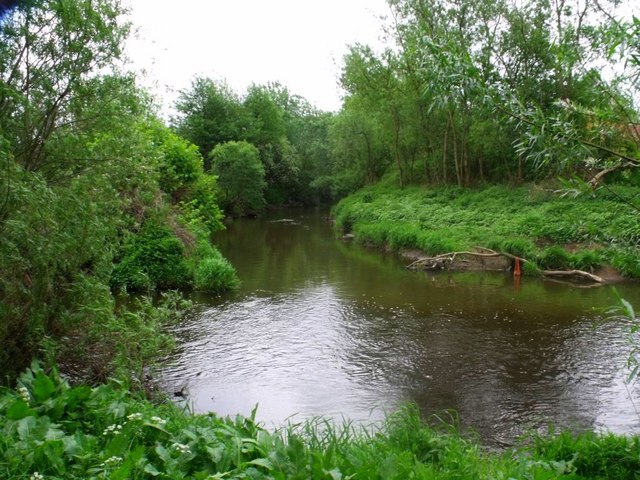
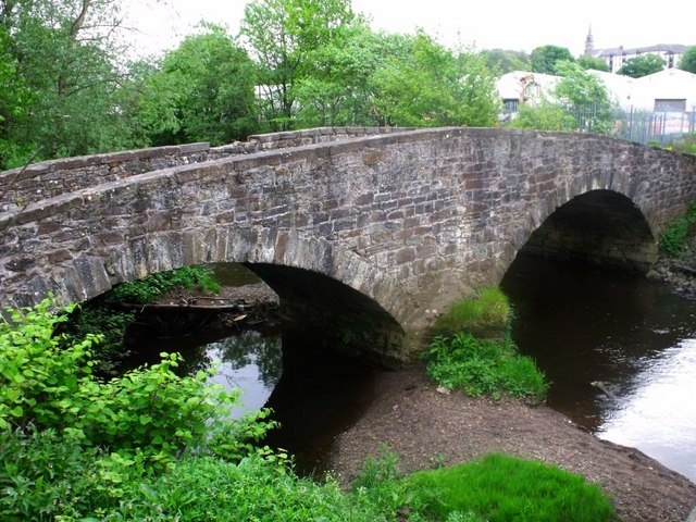
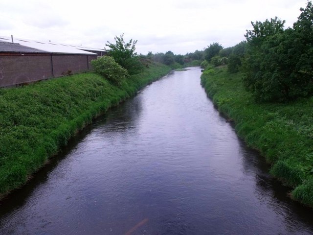
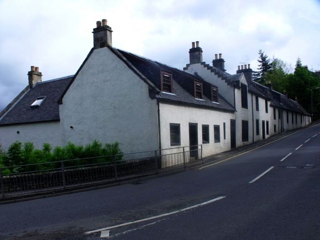
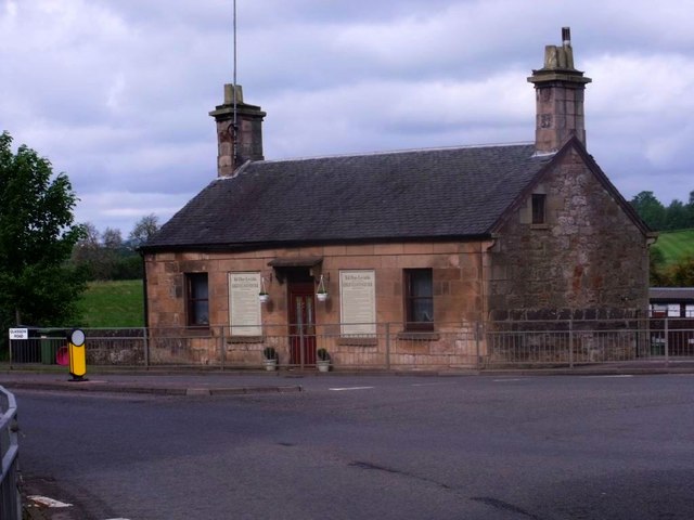
Westermains Images

Images are sourced within 2km of 55.935446/-4.1691486 or Grid Reference NS6473. Thanks to Geograph Open Source API. All images are credited.

East Dunbartonshire College Situated in Southbank Road above the Forth & Clyde Canal close to the centre of Kirkintilloch.  The ongoing development has not been kind to the bankside trees in the foreground.
East Dunbartonshire College
Situated in Southbank Road above the Forth & Clyde Canal close to the centre of Kirkintilloch. The ongoing development has not been kind to the bankside trees in the foreground.
Pudding (or puddling) in the basin In 1826 the Monkland & Kirkintilloch Railway was opened to bring coal from pits south of Airdrie to the Forth & Clyde Canal for onward shipment by barge into Glasgow.  A large interchange basin or dock was dug on the south side of the canal at Kirkintilloch and its quays served plentifully with railway tracks and tipping machinery. In 1966, by which time the canal was virtually disused, the railway line to the basin was closed and about the same time the basin was completely filled in.  More recently it has been dug out again to form a marina, with offices where once railway wagons were shunted.  This view, taken from the canal's north-side towpath, shows an early stage of the restoration, with the stonework of the original basin entrance poking through the mud.
Pudding (or puddling) in the basin
In 1826 the Monkland & Kirkintilloch Railway was opened to bring coal from pits south of Airdrie to the Forth & Clyde Canal for onward shipment by barge into Glasgow. A large interchange basin or dock was dug on the south side of the canal at Kirkintilloch and its quays served plentifully with railway tracks and tipping machinery. In 1966, by which time the canal was virtually disused, the railway line to the basin was closed and about the same time the basin was completely filled in. More recently it has been dug out again to form a marina, with offices where once railway wagons were shunted. This view, taken from the canal's north-side towpath, shows an early stage of the restoration, with the stonework of the original basin entrance poking through the mud.
Kirikintilloch, Luggie Water Canal like appearance on this stretch in the centre of Kirkie. The high deep piled bank is the answer to a history of flooding.
Kirikintilloch, Luggie Water
Canal like appearance on this stretch in the centre of Kirkie. The high deep piled bank is the answer to a history of flooding.
Kirkintilloch, Balquharrage Bridge The old bridge over the River Kelvin on the road from Kirkie to Campsie.
Kirkintilloch, Balquharrage Bridge
The old bridge over the River Kelvin on the road from Kirkie to Campsie.
Kirkintilloch, River Kelvin Forms the northern boundary of the town.
Kirkintilloch, River Kelvin
Forms the northern boundary of the town.
Kirkintilloch, River Kelvin Heavily wooded banks on the northern (left) bank and industry of the southern - town side.
Kirkintilloch, River Kelvin
Heavily wooded banks on the northern (left) bank and industry of the southern - town side.
Pasture near Kirkintilloch This used to be the natural flood plain of the Kelvin but high levees have been built to contain the channel of the river.
Pasture near Kirkintilloch
This used to be the natural flood plain of the Kelvin but high levees have been built to contain the channel of the river.
Kirkintilloch, confluence The meeting of Luggie (ahead) and the Kelvin (flowing across photo) on the northern outskirts of Kirkintilloch. The photo was taken after some days of heavy showers and the river levels were high.
Kirkintilloch, confluence
The meeting of Luggie (ahead) and the Kelvin (flowing across photo) on the northern outskirts of Kirkintilloch. The photo was taken after some days of heavy showers and the river levels were high.
Kirkintilloch, Balquharrage Bridge View of the double arched span with the Kelvin flowing under only one on this occasion.
Kirkintilloch, Balquharrage Bridge
View of the double arched span with the Kelvin flowing under only one on this occasion.
Kirkintilloch, River Kelvin The Kelvin leaves the outskirts of the town (that it never entered) and heads towards the flatlands sandwiched between its levees.
Kirkintilloch, River Kelvin
The Kelvin leaves the outskirts of the town (that it never entered) and heads towards the flatlands sandwiched between its levees.
Kirkintilloch, West High Street Known locally as the 'Cross Brae' featuring well renovated old farmhouse and cottages of the weaving era.
Kirkintilloch, West High Street
Known locally as the 'Cross Brae' featuring well renovated old farmhouse and cottages of the weaving era.
Kirkintilloch, West Bar The West Bar tollhouse at the junction of Glasgow Road and West High Street. The house is now a private dwelling.
Kirkintilloch, West Bar
The West Bar tollhouse at the junction of Glasgow Road and West High Street. The house is now a private dwelling.
Kirkintilloch, private road Access road to dwelling behind Washington Road.
Kirkintilloch, private road
Access road to dwelling behind Washington Road.
Kirkintilloch, Bryars Road Quiet, leafy lane off Washington Road.
Kirkintilloch, Bryars Road
Quiet, leafy lane off Washington Road.
Kirkintilloch, Peel Park fountain Presented to the Burgh of Kirkintilloch by ex. Baillie Hudson, May 1905.
Kirkintilloch, Peel Park fountain
Presented to the Burgh of Kirkintilloch by ex. Baillie Hudson, May 1905.
Kirkintilloch, Peel Park bandstand Picturesque Victorian era bandstand.
Kirkintilloch, Peel Park bandstand
Picturesque Victorian era bandstand.
Boghead Road, looking SSW Looking roughly SSW along Boghead Road.  The road leading off to the right is Glenwood Road, and leads to 3 culs-de-sac and also one end of Pinewood Avenue.
Boghead Road, looking SSW
Looking roughly SSW along Boghead Road. The road leading off to the right is Glenwood Road, and leads to 3 culs-de-sac and also one end of Pinewood Avenue.
Lenzie railway station, looking ENE View from footbridge at Lenzie railway station, looking roughly ENE towards Stirling, Alloa, Dunblane and Edinburgh.
Lenzie railway station, looking ENE
View from footbridge at Lenzie railway station, looking roughly ENE towards Stirling, Alloa, Dunblane and Edinburgh.
Show me another place!

Westermains is located at Grid Ref: NS6473 (Lat: 55.935446, Lng: -4.1691486)

Unitary Authority: East Dunbartonshire

Police Authority: Greater Glasgow

What 3 Words

///transit.finishing.opens. Near Kirkintilloch, East Dunbartonshire

Nearby Locations

Westermains

Related Wikis

Adamslie Park

Adamslie Park was formerly a football ground in Kirkintilloch, East Dunbartonshire, Scotland, which was the home ground of Scottish Junior Football Association...

St Ninian's High School, Kirkintilloch

St. Ninian's High School is a Roman Catholic co-educational comprehensive secondary school, located in Kirkintilloch, East Dunbartonshire, on the banks...

Kirkintilloch Basin railway station

Kirkintilloch Basin railway station, also known as Middlemuir Basin railway station served the town of Kirkintilloch, East Dunbartonshire, Scotland, from...

Kirkintilloch Town Hall

Kirkintilloch Town Hall is a municipal building in Union Street in Kirkintilloch, East Dunbartonshire, Scotland. It is a category B listed building....

Nearby Amenities

Located within 500m of 55.935446,-4.1691486
Barrier: fence
Note: No connection to Glasgow Road
Lat/Long: 55.9395095/-4.1663625
Westermains
Place: suburb
Lat/Long: 55.9362535/-4.1710899
Vending Machine
Vending: fuel
Lat/Long: 55.9382805/-4.1699365
Crossing
Crossing: traffic_signals
Lat/Long: 55.9376708/-4.1725185
Power: substation
Substation: minor_distribution
Lat/Long: 55.9385715/-4.1729894
Traffic Signals
Source: survey
Lat/Long: 55.9376333/-4.1726529
Nickel Works
Historic: yes
Lat/Long: 55.9335283/-4.1635022
Bellfield Distillery
Historic: yes
Lat/Long: 55.9342374/-4.1651759
Crossing
Button Operated: yes
Crossing: traffic_signals
Crossing Island: no
Tactile Paving: yes
Traffic Signals Sound: yes
Traffic Signals Vibration: yes
Lat/Long: 55.9396012/-4.1662612
Communication Mobile Phone: yes
Man Made: mast
Tower Type: communication
Lat/Long: 55.932386/-4.1642259
Power: pole
Lat/Long: 55.9320436/-4.1660433
Parcel Locker
Amazon Hub Locker
Brand: Amazon Hub
Brand Wikidata: Q16974764
Operator: Amazon
Parcel Pickup: yes
Source: local knowledge
Lat/Long: 55.938153/-4.1701477
Barrier: bollard
Material: plastic
Lat/Long: 55.9366441/-4.172357
Waste Basket
Waste: dog_excrement
Lat/Long: 55.9345332/-4.1628212
Waste Basket
Lat/Long: 55.9364176/-4.1641095
Waste Basket
Waste: dog_excrement
Lat/Long: 55.9365445/-4.1720698
Waste Basket
Waste: dog_excrement
Lat/Long: 55.9390676/-4.1736849
Vending Machine
Vending: fuel
Lat/Long: 55.9382556/-4.1698753
Waste Basket
Waste: dog_excrement
Lat/Long: 55.9381662/-4.1714885
Power: substation
Lat/Long: 55.9382233/-4.1709721
Crossing
Crossing: traffic_signals
Crossing Island: no
Operational Status: under_construction
Lat/Long: 55.9381761/-4.1708842
Post Box
Brand: Post Office
Brand Wikidata: Q1783168
Operator: Post Office
Operator Wikidata: Q1783168
Lat/Long: 55.9379539/-4.1718181
Crossing
Crossing: traffic_signals
Lat/Long: 55.9375762/-4.1728316
Crossing
Crossing: traffic_signals
Lat/Long: 55.9375357/-4.1725714
Bus Stop
Adamslie Crescent
Bench: no
Bin: no
Naptan AtcoCode: 6110384
Naptan NaptanCode: 65424236
Shelter: yes
Lat/Long: 55.9373079/-4.1739598
Bus Stop
Hayston Road
Bench: yes
Bin: no
Naptan AtcoCode: 6110383
Naptan NaptanCode: 65424283
Shelter: yes
Lat/Long: 55.9377992/-4.1720635
Bus Stop
Lovat Drive
Bench: no
Bin: no
Naptan AtcoCode: 6110382
Naptan NaptanCode: 65423864
Shelter: yes
Lat/Long: 55.9387907/-4.1692418
The data included in this document is from www.openstreetmap.org. The data is made available under ODbL.

Have you been to Westermains?

Leave your review of Westermains below (or comments, questions and feedback).