Swinegate Plantation
Wood, Forest in Cumberland Allerdale
England
Swinegate Plantation
Swinegate Plantation is an enchanting woodland located in Cumberland, a county in the northwest region of England. Nestled within the expansive forests of the area, this picturesque plantation is a haven for nature enthusiasts and outdoor adventurers alike.
Spanning across acres of serene woodlands, Swinegate Plantation offers a diverse range of flora and fauna, making it a rich ecosystem. The dense canopy of towering trees, including oak, beech, and birch, provides a delightful shade during the summer months. The forest floor is adorned with a carpet of vibrant wildflowers, creating a mesmerizing tapestry of colors.
The plantation is home to a variety of wildlife, making it a popular destination for birdwatchers and animal lovers. Visitors can spot a plethora of bird species, including woodpeckers, owls, and buzzards, as they soar above the treetops. Red squirrels, badgers, and deer are also frequently spotted among the undergrowth, adding to the plantation's charm.
For those seeking outdoor activities, Swinegate Plantation offers numerous walking trails and picnic spots. The well-maintained paths meander through the woodland, allowing visitors to explore its beauty at their own pace. The peaceful atmosphere and serene surroundings make it an ideal location for a leisurely stroll or a family day out.
Swinegate Plantation is a true gem of Cumberland's natural landscape, providing an escape from the hustle and bustle of everyday life. Its idyllic setting, diverse wildlife, and tranquil ambiance make it a must-visit destination for anyone seeking solace in nature's embrace.
If you have any feedback on the listing, please let us know in the comments section below.
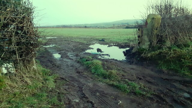
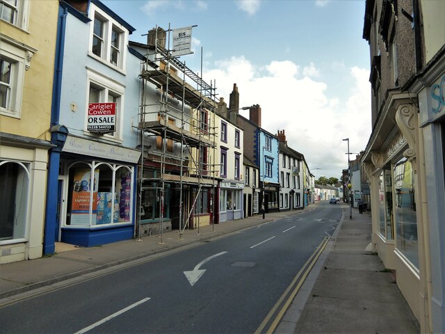
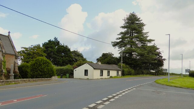
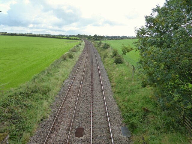
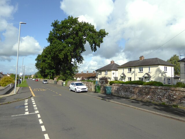
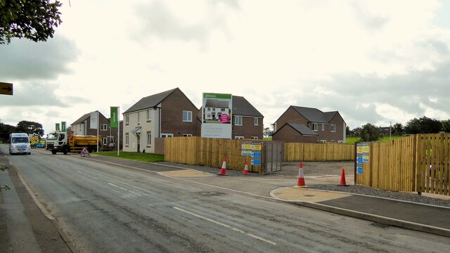
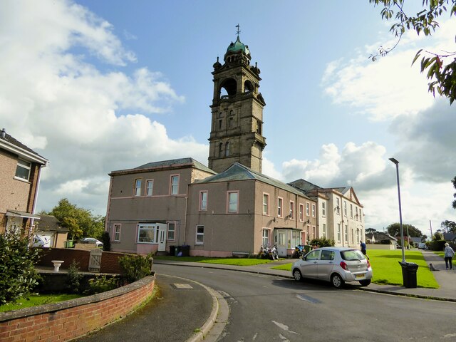
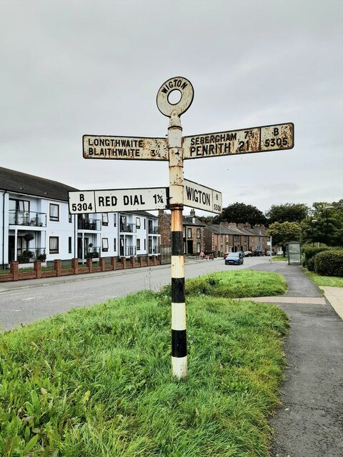
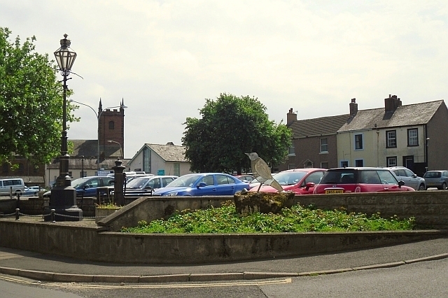
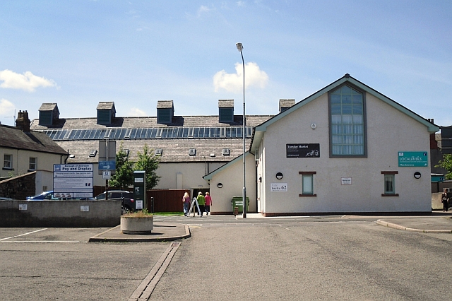
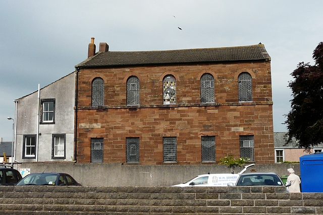
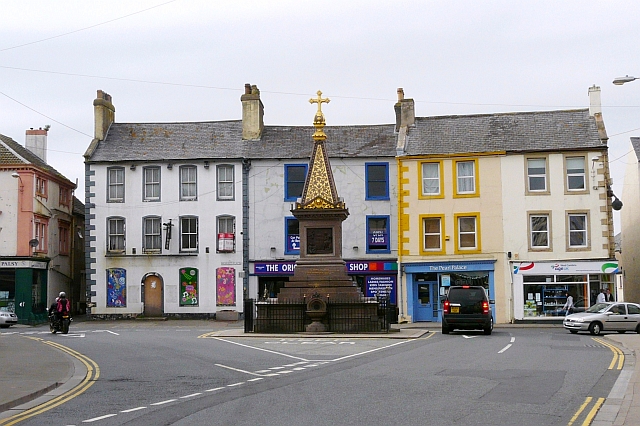
Swinegate Plantation Images
Images are sourced within 2km of 54.82122/-3.174201 or Grid Reference NY2448. Thanks to Geograph Open Source API. All images are credited.
Swinegate Plantation is located at Grid Ref: NY2448 (Lat: 54.82122, Lng: -3.174201)
Administrative County: Cumbria
District: Allerdale
Police Authority: Cumbria
What 3 Words
///squares.quickly.fidgeting. Near Wigton, Cumbria
Nearby Locations
Related Wikis

Wigton School
Wigton School (also called Brookfield School or Friends' School) was an independent boarding school on the outskirts of Wigton, Cumbria. The school was...
Brookfield railway station (England)
Brookfield (Cumbria) railway station was a short-lived railway station that served Brookfield School (or Brookfield Academy), a Quaker school situated...
Wigton Rural District
Wigton was a rural district in Cumberland, England from 1894 to 1974. It was created by the Local Government Act 1894 based on Wigton rural sanitary district...
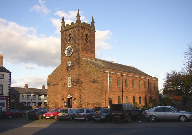
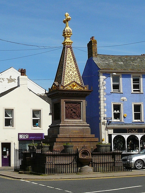
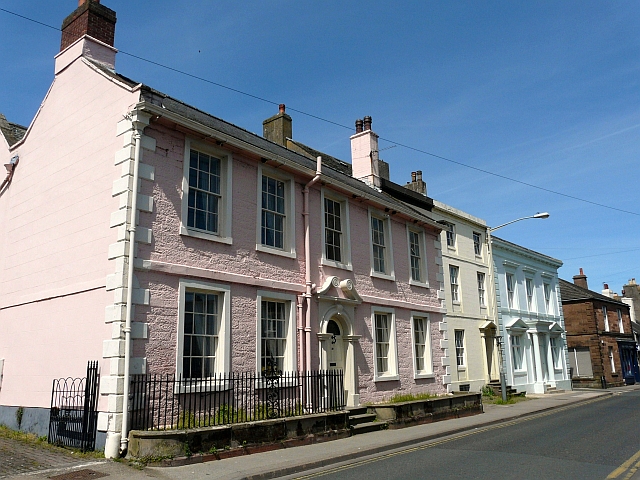
Wigton
Wigton is a market town in Cumberland, Cumbria, England. It lies just outside the Lake District. Wigton is at the centre of the Solway Plain, between the...
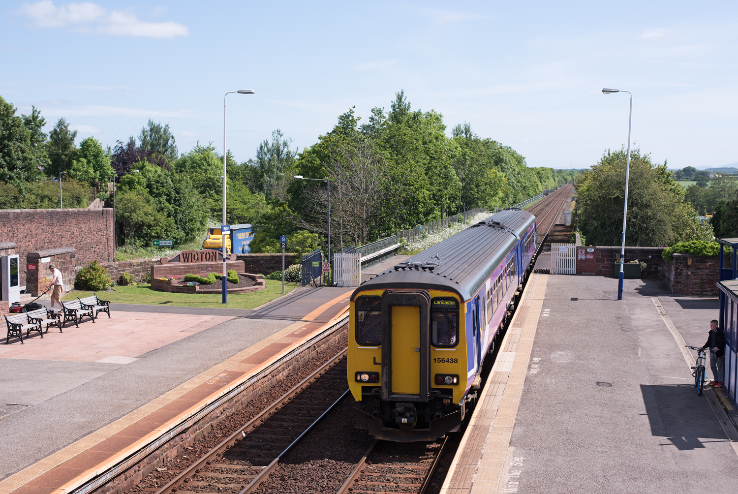
Wigton railway station
Wigton railway station is a railway station serving the market town of Wigton in Cumbria, England. It is on the Cumbrian Coast Line, which runs between...
The Nelson Thomlinson School
The Nelson Thomlinson School is a comprehensive secondary school located in the market town of Wigton, Cumbria, England. The school's motto is the Latin...
Brackenlands
Brackenlands is an area of Wigton in Cumbria, England.

Aikhead
Aikhead is a hamlet in Cumbria, England, within the Lake District. It is about one and a half miles northwest of Wigton, and is in the civil parish of...
Nearby Amenities
Located within 500m of 54.82122,-3.174201Have you been to Swinegate Plantation?
Leave your review of Swinegate Plantation below (or comments, questions and feedback).