Western Hill
Settlement in Durham
England
Western Hill
Western Hill is a scenic residential neighborhood located in the city of Durham, North Carolina. Situated in the western part of the city, this community is known for its picturesque landscapes, peaceful ambiance, and convenient amenities.
The neighborhood is characterized by its well-maintained homes, many of which feature traditional architectural styles and spacious yards. The area is predominantly residential, offering residents a quiet and family-friendly atmosphere. The streets are lined with mature trees, providing shade and adding to the overall charm of the neighborhood.
Western Hill benefits from its proximity to various amenities and recreational facilities. Residents have easy access to shopping centers, restaurants, and entertainment options, making it an ideal location for those seeking convenience. Additionally, the neighborhood is just a short drive away from downtown Durham, where residents can enjoy a vibrant arts and culture scene.
Nature enthusiasts will appreciate the nearby natural attractions, such as the Eno River State Park and Duke Forest. These areas offer opportunities for hiking, fishing, and picnicking, allowing residents to enjoy the beauty of the surrounding landscapes.
The neighborhood is also well-regarded for its excellent schools, making it an appealing choice for families with children. The educational institutions in the area provide a quality education and a nurturing environment for students.
Overall, Western Hill offers a serene and welcoming community with a range of amenities, making it a desirable place to live in Durham.
If you have any feedback on the listing, please let us know in the comments section below.
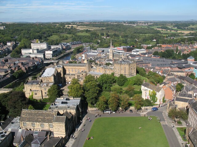
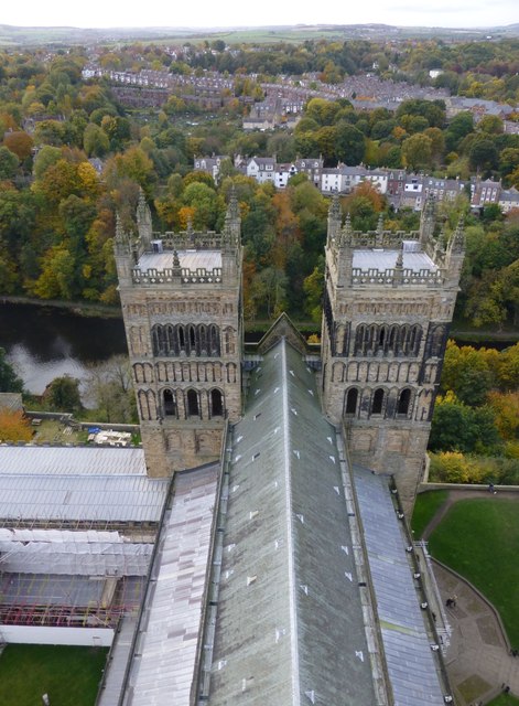
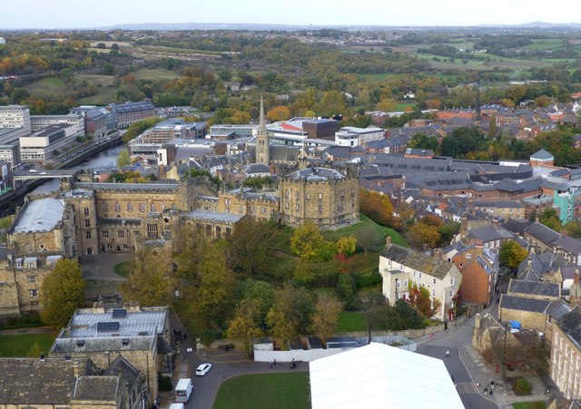
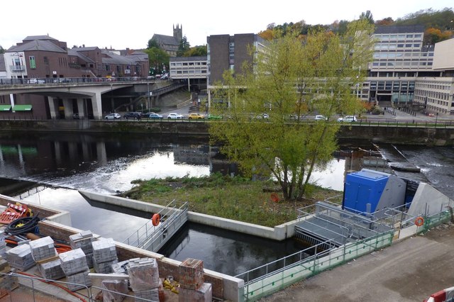
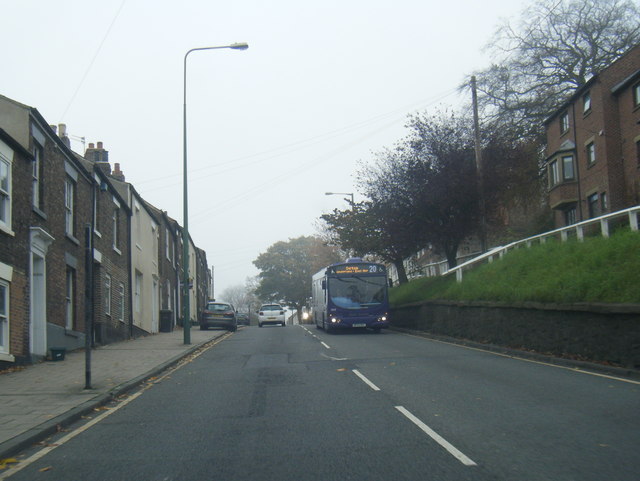
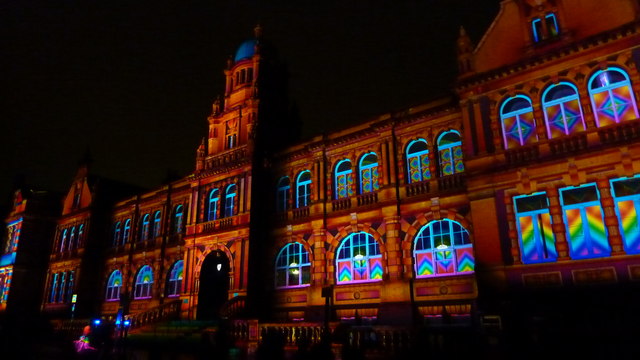
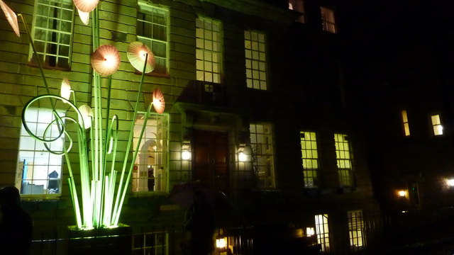
Western Hill Images
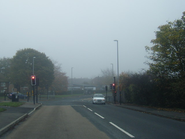
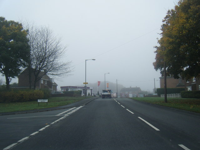
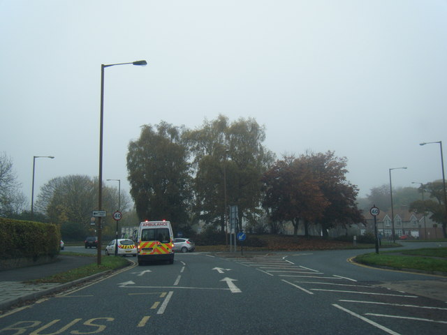
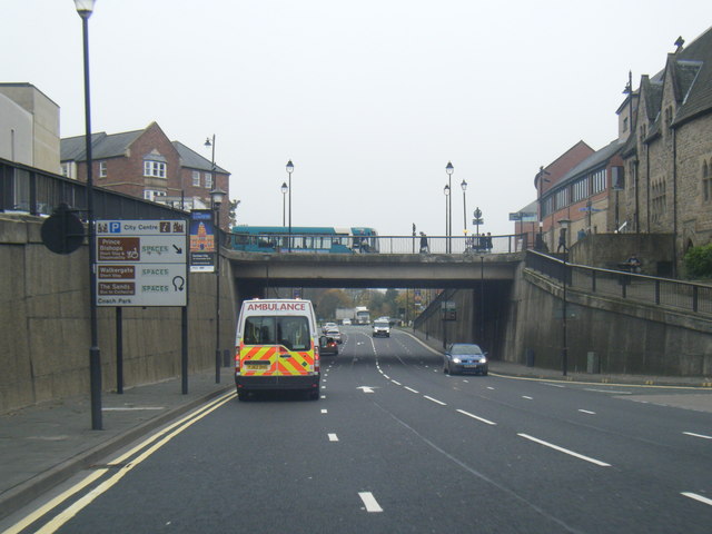
Images are sourced within 2km of 54.780883/-1.5850171 or Grid Reference NZ2642. Thanks to Geograph Open Source API. All images are credited.
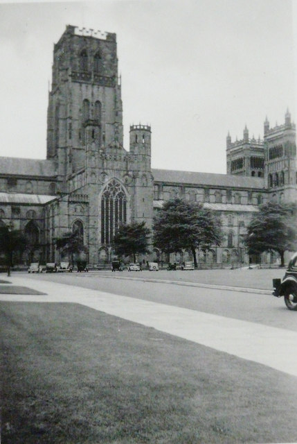
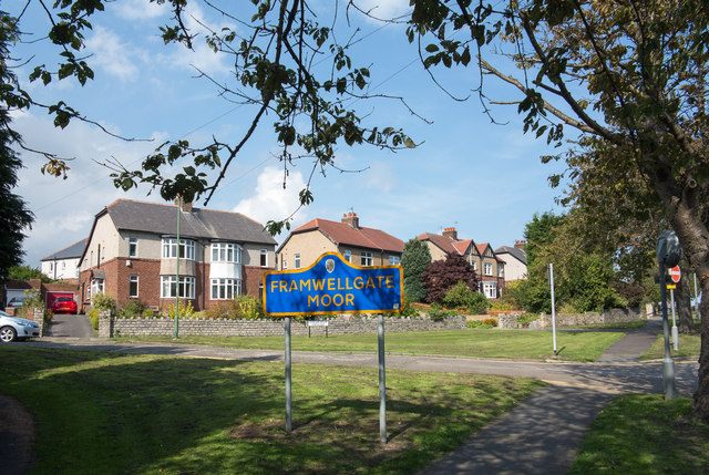
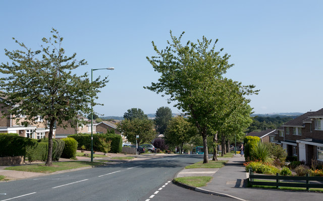


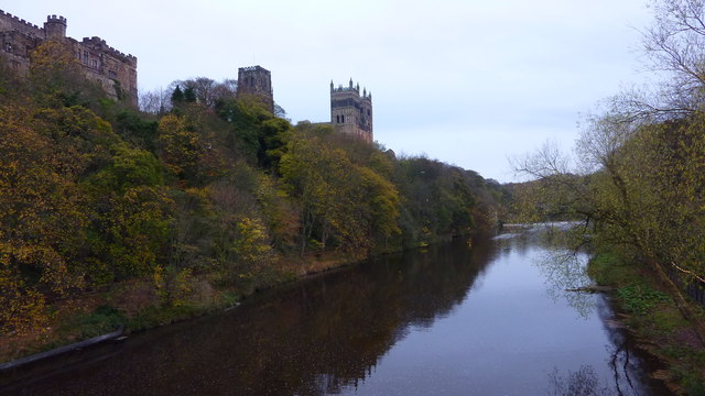
Western Hill is located at Grid Ref: NZ2642 (Lat: 54.780883, Lng: -1.5850171)
Unitary Authority: County Durham
Police Authority: Durham
What 3 Words
///hang.fire.indoor. Near Durham, Co. Durham
Nearby Locations
Related Wikis
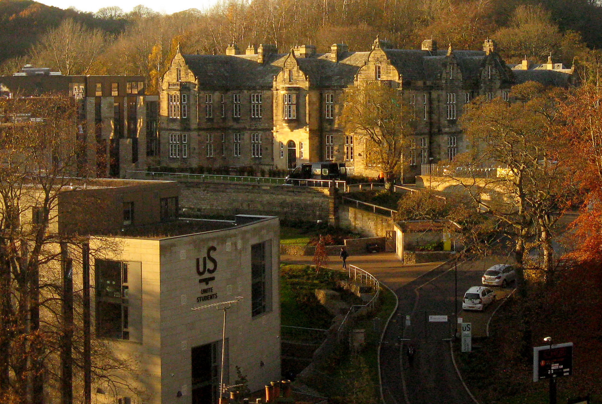
Rushford Court
Rushford Court is a student hall and former hospital in Durham, England. It opened in 1853 as County Hospital, and closed as a hospital in 2010 after services...

Durham railway station
Durham is a railway station on the East Coast Main Line, which runs between London King's Cross and Edinburgh Waverley. The station, situated 14 miles...

Durham Viaduct
Durham Viaduct is a grade II* listed railway viaduct in the City of Durham in County Durham, in North East England. The viaduct is an important local landmark...

Durham Miners' Hall
Redhills is Grade II listed headquarters building of the Durham Miners' Association (DMA) in Durham, England. Officially called Miners' New Hall, it is...
Nearby Amenities
Located within 500m of 54.780883,-1.5850171Have you been to Western Hill?
Leave your review of Western Hill below (or comments, questions and feedback).