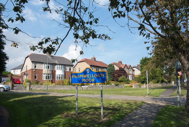
Crossgate Moor

Wood, Forest in Durham

England

Crossgate Moor

Durham Castle Durham Castle viewed from the central tower of Durham Cathedral; the spire of St Nicholas Church is in the background, Palace Green in the foreground and the River Wear to the left.
Durham Castle Credit: Adrian Taylor

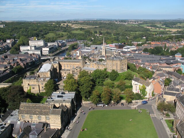
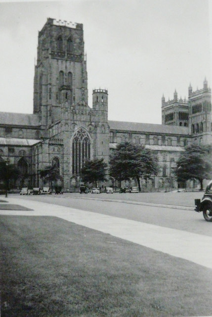
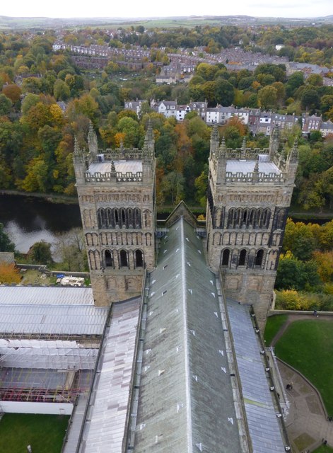
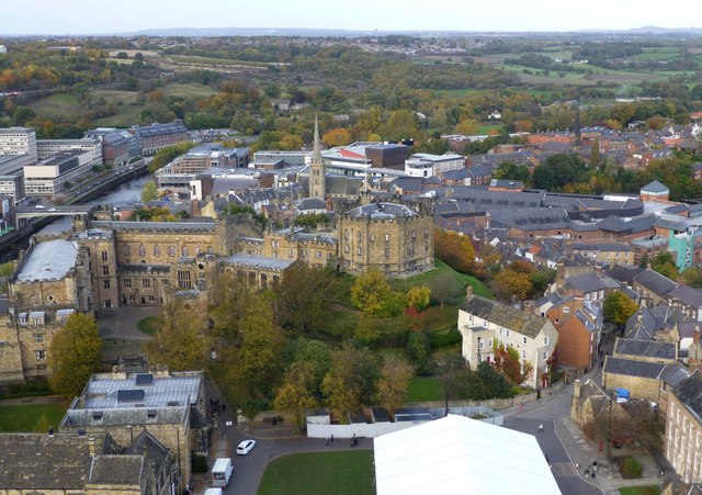
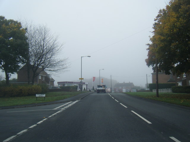
Crossgate Moor, Durham is a residential area located in the city of Durham, in the northeast of England. Nestled between the neighborhoods of Crossgate and Neville's Cross, Crossgate Moor is known for its lush greenery and tranquil surroundings. The area is predominantly residential, with a mix of detached and semi-detached houses, making it an attractive place to live for families and professionals alike.

One of the notable features of Crossgate Moor is its abundance of woodlands and forests. The area is home to several small forests and green spaces, providing residents with ample opportunities for outdoor activities such as walking, jogging, and picnicking. The woods are well-maintained and offer a peaceful retreat from the hustle and bustle of city life.

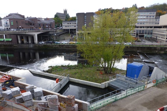
In addition to its natural beauty, Crossgate Moor benefits from its close proximity to Durham city center. The area is well-connected by public transport, with regular bus services linking it to the city center and other nearby towns. Residents of Crossgate Moor can enjoy easy access to a range of amenities and facilities, including shops, supermarkets, schools, and healthcare services.

The community spirit in Crossgate Moor is strong, with various local events and activities organized throughout the year. Residents have access to a community center, which hosts a variety of clubs and classes to cater to different interests and age groups.

Overall, Crossgate Moor, Durham is an idyllic residential area with its verdant woodlands, convenient location, and strong sense of community. It offers a peaceful and picturesque setting for residents, while still being within easy reach of all the amenities and attractions that Durham has to offer.

If you have any feedback on the listing, please let us know in the comments section below.

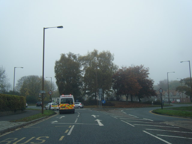
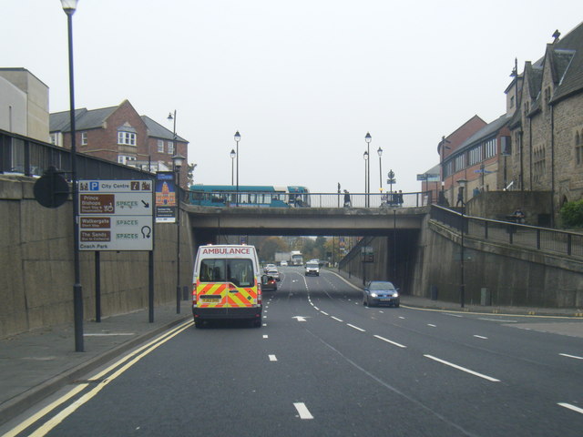
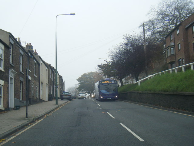
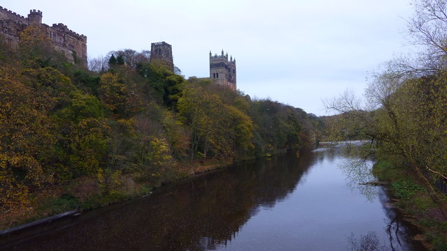
Crossgate Moor Images

Images are sourced within 2km of 54.778776/-1.5918327 or Grid Reference NZ2642. Thanks to Geograph Open Source API. All images are credited.

Durham Castle Durham Castle viewed from the central tower of Durham Cathedral; the spire of St Nicholas Church is in the background, Palace Green in the foreground and the River Wear to the left.
Durham Castle
Durham Castle viewed from the central tower of Durham Cathedral; the spire of St Nicholas Church is in the background, Palace Green in the foreground and the River Wear to the left.
Durham Cathedral, 1936 Taken by my grandfather, George W Baker. His son/my father took a similar photo two years later of <a href="https://www.geograph.org.uk/photo/2161815">NZ2742 : Durham Cathedral in 1938</a>.
Durham Cathedral, 1936
Taken by my grandfather, George W Baker. His son/my father took a similar photo two years later of NZ2742 : Durham Cathedral in 1938.
Semi-detached houses in Framwellgate Moor Framwellgate Moor is an area of Durham city, north of the centre. The houses are on Durham Moor Crescent. The blue and yellow sign is in a style in use in County Durham for some time.
Semi-detached houses in Framwellgate Moor
Framwellgate Moor is an area of Durham city, north of the centre. The houses are on Durham Moor Crescent. The blue and yellow sign is in a style in use in County Durham for some time.
The Western Towers of Durham Cathedral Viewed from the top of the Central Tower.
The Cathedral’s original western towers were small, and were later incorporated into the larger, current structures when these were built around 1200.
The Cathedral’s towers were especially important in Durham, where the building stands surrounded by rising land, and would otherwise be hidden from view.
The Western Towers of Durham Cathedral
Viewed from the top of the Central Tower. The Cathedral’s original western towers were small, and were later incorporated into the larger, current structures when these were built around 1200. The Cathedral’s towers were especially important in Durham, where the building stands surrounded by rising land, and would otherwise be hidden from view.
Durham Castle Viewed from the top of the Central Tower of Durham Cathedral.
Durham Castle
Viewed from the top of the Central Tower of Durham Cathedral.
Archimedean screw  An Archimedean screw harvesting energy from the River Wear to drive a 100kw generator capable of supplying 75% of the total energy requirement of the new Freeman’s Reach development in Durham City.
Energy had previously been extracted for more than 800 years to drive the medieval Bishop’s Mill near the site.
<span class="nowrap"><a title="http://www.thejournal.co.uk/news/20-tonne-water-power-installation-7199432" rel="nofollow ugc noopener" href="http://www.thejournal.co.uk/news/20-tonne-water-power-installation-7199432">Link</a><img style="margin-left:2px;" alt="External link" title="External link - shift click to open in new window" src="https://s1.geograph.org.uk/img/external.png" width="10" height="10"/></span>
Archimedean screw
An Archimedean screw harvesting energy from the River Wear to drive a 100kw generator capable of supplying 75% of the total energy requirement of the new Freeman’s Reach development in Durham City. Energy had previously been extracted for more than 800 years to drive the medieval Bishop’s Mill near the site. LinkExternal link
Durham Cathedral door knocker (1965)
Finchale Road at Lilac Avenue
B6532 near County Hall
A690 Leazes Road, Durham
A181 Gilesgate heading east
Durham Cathedral-Lumiere 2015 Amazing view of the Cathedral during Lumiere 2015
Durham Cathedral-Lumiere 2015
Amazing view of the Cathedral during Lumiere 2015
Durham Cathedral during Lumiere 2015 Wonderful illuminations on the Cathedral
Durham Cathedral during Lumiere 2015
Wonderful illuminations on the Cathedral
Old Shire Hall, Durham The building is being lit as part of the Durham Lumiere Light Festival 2015
Old Shire Hall, Durham
The building is being lit as part of the Durham Lumiere Light Festival 2015
St. John's College, Durham Lumiere 2015
River Wear & Durham Cathedral From Framwellgate Bridge
River Wear & Durham Cathedral
From Framwellgate Bridge
Les Luminéoles, Durham Lumiere 2015 Flying in the Market Place
Les Luminéoles, Durham Lumiere 2015
Flying in the Market Place
Les Luminéoles, Durham Lumiere 2015
Show me another place!

Crossgate Moor is located at Grid Ref: NZ2642 (Lat: 54.778776, Lng: -1.5918327)

Unitary Authority: County Durham

Police Authority: Durham

What 3 Words

///jobs.lined.having. Near Durham, Co. Durham

Related Wikis

Durham Johnston Comprehensive School

Durham Johnston Comprehensive School is a secondary school in Durham, England. == Introduction == Durham Johnston is a 1700-place 11–18 school serving...

Durham Miners' Hall

Redhills is the headquarters building of the Durham Miners' Association (DMA) in Durham, England. Officially called Miners' New Hall, it is known as Redhills...

Rushford Court

Rushford Court is a student hall and former hospital in Durham, England. It opened in 1853 as County Hospital, and closed as a hospital in 2010 after services...

Durham Viaduct

Durham Viaduct is a grade II* listed railway viaduct in the City of Durham in County Durham, in North East England. The viaduct is an important local landmark...

Durham bus station

Durham bus station served the city of Durham, in County Durham, England. The bus station is managed by Durham County Council. This bus station is situated...

Durham railway station

Durham is a railway station on the East Coast Main Line, which runs between London King's Cross and Edinburgh Waverley. The station, situated 14 miles...

Battle of Neville's Cross

The Battle of Neville's Cross took place during the Second War of Scottish Independence on 17 October 1346, half a mile (800 m) to the west of Durham,...
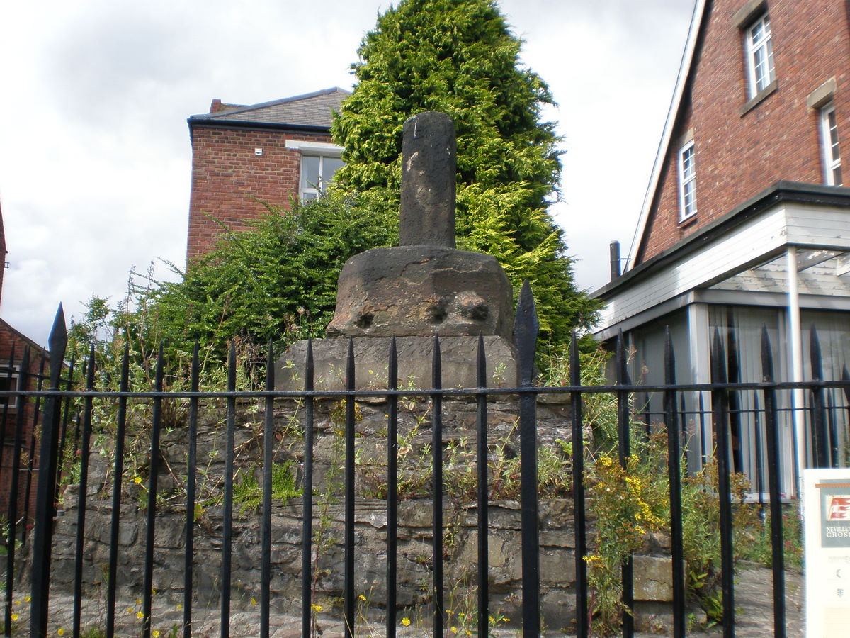
Neville's Cross

Neville's Cross is a place in County Durham, in England. It is also a ward of Durham with a population taken at the 2011 census of 9,940. It is situated...

Nearby Amenities

Located within 500m of 54.778776,-1.5918327
Crossing
Crossing: unmarked
Crossing Island: yes
Lat/Long: 54.7780026/-1.5848406
Crossing
Crossing: unmarked
Crossing Island: yes
Kerb: lowered
Tactile Paving: yes
Lat/Long: 54.7784228/-1.5841596
Communication Television: yes
Man Made: mast
Operator: Arqiva
Tower Type: communication
Lat/Long: 54.7752228/-1.5907688
Turning Circle
Lat/Long: 54.7769928/-1.5956388
Turning Circle
Lat/Long: 54.776603/-1.5964582
Post Box
Collection Times: Mo-Fr 16:45, Sa 11:30
Ref: DH1 168
Lat/Long: 54.7778455/-1.5852245
Disused Office: association
Old Name: Durham Miners' Association
Lat/Long: 54.7771875/-1.5876455
Crossing
Button Operated: yes
Crossing: traffic_signals
Crossing Island: no
Crossing Ref: toucan
Segregated: no
Tactile Paving: yes
Traffic Signals Sound: yes
Lat/Long: 54.775608/-1.5971334
Crossing
Button Operated: yes
Crossing: traffic_signals
Tactile Paving: yes
Lat/Long: 54.7771427/-1.5979841
Turning Circle
Lat/Long: 54.7771128/-1.5964565
Turning Circle
Lat/Long: 54.7821254/-1.5920912
Post Box
Ref: DH1 39D
Lat/Long: 54.7777148/-1.5979304
Post Box
Collection Times: Mo-Fr 09:00; Sa 07:00
Ref: DH1 39D
Royal Cypher: EIIR
Royal Cypher Wikidata: Q33102113
Lat/Long: 54.7825278/-1.5900586
Turning Circle
Lat/Long: 54.7746777/-1.5907984
Obelisk
Historic: monument
Wikidata: Q26414573
Lat/Long: 54.7813831/-1.5860375
Post Box
Collection Times: Mo-Fr 09:00; Sa 07:00
Ref: DH1 1D
Royal Cypher: EIIR
Royal Cypher Wikidata: Q33102113
Lat/Long: 54.7807024/-1.5867674
Barrier: bollard
Foot: yes
Lat/Long: 54.7784566/-1.5868272
Crossing
Bicycle: yes
Crossing: unmarked
Tactile Paving: yes
Lat/Long: 54.7795811/-1.5980916
Bus Stop
Wharton Park
Bench: no
Bin: no
Bus: yes
Lit: yes
Naptan AtcoCode: 13005001E
Naptan Bearing: S
Naptan CommonName: Wharton Park
Naptan Indicator: south bound
Naptan Landmark: Bus Stop
Naptan NaptanCode: durdgjdj
Naptan PlusbusZoneRef: DRHM
Naptan Street: North Road
Public Transport: platform
Seats: no
Shelter: no
Source: naptan_import
Tactile Paving: no
Lat/Long: 54.7795896/-1.5847227
Bus Stop
Wharton Park
Bench: no
Bin: yes
Bus: yes
Lit: yes
Naptan AtcoCode: 13005001H
Naptan Bearing: NW
Naptan CommonName: Wharton Park
Naptan Indicator: north west bound
Naptan Landmark: Outside entrance to hospital
Naptan NaptanCode: durdgjdm
Naptan Notes: hospital- north rd- Durham
Naptan PlusbusZoneRef: DRHM
Naptan Street: North Road
Public Transport: platform
Seats: no
Shelter: no
Source: naptan_import
Tactile Paving: no
Lat/Long: 54.7788316/-1.5845846
Bus Stop
Crossgate Moor - The Lodge
Bus: yes
Departures Board: timetable
Naptan AtcoCode: 13005501D
Naptan Bearing: SE
Naptan CommonName: Pot & Glass
Naptan Indicator: south east bound
Naptan Landmark: Landmark not known
Naptan NaptanCode: durdmatw
Naptan Notes: On A167 Newcastle Road- but in front of 12 Lyndhurst Drive- opposite The Pot And Glass (PH)- Du
Naptan PlusbusZoneRef: DRHM
Naptan Street: A167 - Newcastle road
Naptan Verified: yes
Public Transport: platform
Shelter: yes
Source: naptan_import;GPS survey
Lat/Long: 54.7763809/-1.5973229
Bus Stop
Crossgate Moor - The Lodge
Check Date Shelter: 2022-06-22
Naptan AtcoCode: 13005501H
Naptan Bearing: NW
Naptan CommonName: Pot & Glass
Naptan Indicator: north west bound
Naptan Landmark: Landmark not known
Naptan NaptanCode: durdmawa
Naptan Notes: On A167 Newcastle Road- outside The Pot And Glass (PH)- Durham
Naptan PlusbusZoneRef: DRHM
Naptan Street: A167 - Newcastle Road
Naptan Verified: yes
Shelter: yes
Source: naptan_import; GPS survey
Lat/Long: 54.7765908/-1.5977352
Bus Stop
Moor Edge
Bench: no
Bin: no
Check Date Shelter: 2022-06-22
Naptan AtcoCode: 13005502F
Naptan Bearing: SW
Naptan BusStopType: MKD
Naptan CommonName: Moor Edge
Naptan Indicator: SW-bound
Naptan NaptanCode: durdmawd
Naptan PlusbusZoneRef: DRHM
Naptan RevisionNumber: 1
Naptan Street: A167
Naptan Verified: yes
Shelter: yes
Source: naptan_import; GPS survey
Lat/Long: 54.7805921/-1.5974956
Bus Stop
Moor Edge
Bench: no
Bin: no
Naptan AtcoCode: 13005502B
Naptan Bearing: NE
Naptan CommonName: Moor Edge
Naptan Indicator: NE-bound
Naptan NaptanCode: durdmawg
Naptan PlusbusZoneRef: DRHM
Naptan RevisionNumber: 1
Naptan Street: A167
Naptan Verified: yes
Shelter: no
Source: naptan_import; GPS survey
Lat/Long: 54.7801574/-1.5980734
Bus Stop
Johnston School Bus Park
Naptan AtcoCode: 13005505A
Naptan Bearing: N
Naptan CommonName: Johnston School Bus Park
Naptan Indicator: north bound
Naptan Landmark: Landmark not known
Naptan NaptanCode: durdmdad
Naptan Notes: johnston comprehensive school- redhills lane- Durham
Naptan PlusbusZoneRef: DRHM
Naptan Street: Red Hills Lane
Naptan Verified: no
Source: naptan_import
Lat/Long: 54.7786217/-1.5976199
Bus Stop
Sutton Street
Bench: no
Naptan AtcoCode: 13005645B
Naptan Bearing: NE
Naptan BusStopType: MKD
Naptan CommonName: Sutton Street
Naptan Indicator: NE-bound
Naptan Landmark: Landmark not known
Naptan NaptanCode: durdmgjd
Naptan PlusbusZoneRef: DRHM
Naptan RevisionNumber: 3
Naptan Street: Sutton Street
Naptan Verified: yes
Shelter: yes
Source: naptan_import
Lat/Long: 54.7782449/-1.5845575
Barrier: kissing_gate
Source: GPS survey
Lat/Long: 54.7753627/-1.5887996
Removed Playground: willow tunnel
Source: GPS survey
Lat/Long: 54.775498/-1.5892523
Removed Leisure: picnic_table
Source: GPS survey
Lat/Long: 54.7755236/-1.589094
Removed Playground: swing
Source: GPS survey
Lat/Long: 54.7756145/-1.5894655
Removed Playground: swing
Source: GPS survey
Lat/Long: 54.7756245/-1.5894832
Removed Playground: swing
Source: GPS survey
Lat/Long: 54.7756333/-1.5894988
Removed Playground: swing
Source: GPS survey
Lat/Long: 54.7756421/-1.5895143
Abandoned Playground: structure
Playground Theme: ship
Source: GPS survey
Lat/Long: 54.7756504/-1.5894218
Hangman's Hill
Natural: peak
Lat/Long: 54.7809418/-1.5890265
Welcome to Flass Vale Local Nature Reserve
Information: map
Tourism: information
Lat/Long: 54.7796134/-1.589296
Bench
Lat/Long: 54.7796943/-1.5893439
Tourism: viewpoint
Lat/Long: 54.7807614/-1.5889707
Entrance: main
Lat/Long: 54.7749875/-1.5882939
Grit Bin
Lat/Long: 54.7750542/-1.5884314
Noexit: yes
Lat/Long: 54.7752069/-1.5888197
Grit Bin
Operator: Durham County Council
Operator Type: government
Operator Wikidata: Q5316492
Ref: DU223
Lat/Long: 54.7790118/-1.5847285
John Forman
Artwork Subject: John Forman
Artwork Type: statue
Subject Wikipedia: en:John Forman (trade unionist)
Tourism: artwork
Lat/Long: 54.7772772/-1.587075
Mine Cart
Artwork Type: sculpture
Tourism: artwork
Lat/Long: 54.7770702/-1.5871501
Mine Cart
Artwork Type: sculpture
Tourism: artwork
Lat/Long: 54.7771473/-1.5872522
W. H. Patterson
Artwork Type: statue
Subject: William Hammond Patterson
Subject Wikipedia: en:W. H. Patterson
Tourism: artwork
Lat/Long: 54.7772624/-1.5870105
Bench
Lat/Long: 54.777127/-1.587163
Bench
Lat/Long: 54.7771439/-1.5871888
William Crawford
Artwork Type: statue
Subject: William Crawford
Subject Wikipedia: en:William Crawford (trade unionist)
Tourism: artwork
Lat/Long: 54.7771938/-1.5869138
Alexander Macdonald
Artwork Type: statue
Subject: Alexander Macdonald
Subject Wikipedia: en:Alexander Macdonald (Lib–Lab politician)
Tourism: artwork
Lat/Long: 54.7772299/-1.5869647
Grit Bin
Operator: Durham County Council
Operator Type: government
Operator Wikidata: Q5316492
Ref: DU423
Lat/Long: 54.7808538/-1.5858215
Disused Barrier: gate
Note: inaccessible, and presumably private anyway - hence disused tag
Lat/Long: 54.7813043/-1.5887172
Atm
Lat/Long: 54.7765329/-1.5978048
Entrance: yes
Lat/Long: 54.7765499/-1.5978127
Bicycle Parking
Bicycle Parking: stands
Capacity: 10
Lat/Long: 54.7785718/-1.5880031
Waddington Street
Operator: Northern Powergrid (Northeast) Limited
Power: substation
Lat/Long: 54.7782209/-1.5861627
Waste Basket
Waste: dog_excrement
Lat/Long: 54.7797234/-1.5845281
Information: map
Map Size: site
Tourism: information
Lat/Long: 54.779728/-1.5844127
Information: guidepost
Tourism: information
Lat/Long: 54.7797899/-1.584457
Crossing
Crossing: uncontrolled
Crossing Ref: zebra
Lat/Long: 54.7822859/-1.5881976
Waste Basket
Check Date: 2023-01-07
Lat/Long: 54.7824514/-1.5898626
Bicycle Parking
Bicycle Parking: stands
Capacity: 6
Lat/Long: 54.776418/-1.59779
Addr City: Durham
Addr Flats: Flat C
Addr Postcode: DH1 4RJ
Entrance: yes
Lat/Long: 54.7794602/-1.5856609
Bench
Lat/Long: 54.7806178/-1.5974648
Grit Bin
Operator: Durham County Council
Operator Type: government
Operator Wikidata: Q5316492
Ref: DU001
Lat/Long: 54.7826672/-1.5900459
3
Entrance: yes
Lat/Long: 54.7807466/-1.5855821
Grey House
Entrance: main
Lat/Long: 54.7807448/-1.5856365
Addr City: Durham
Addr Housenumber: 24
Addr Postcode: DH1 4NF
Addr Street: South Crescent
Source Postcode: Land Registry Price Paid Data
Survey Date: 2017-03-11
Lat/Long: 54.7829317/-1.5895636
Addr City: Durham
Addr Housenumber: 25
Addr Postcode: DH1 4NF
Addr Street: South Crescent
Note: House number assumed, none displayed
Source Postcode: Land Registry Price Paid Data
Survey Date: 2017-03-11
Lat/Long: 54.7828438/-1.5896041
Addr City: Durham
Addr Housenumber: 26
Addr Postcode: DH1 4NF
Addr Street: South Crescent
Source Postcode: Land Registry Price Paid Data
Survey Date: 2017-03-11
Lat/Long: 54.7827553/-1.5896397
Addr City: Durham
Addr Housenumber: 23
Addr Postcode: DH1 4NF
Addr Street: South Crescent
Source Postcode: Land Registry Price Paid Data
Survey Date: 2017-03-11
Lat/Long: 54.7829951/-1.5895341
Grit Bin
Operator: Durham County Council
Operator Type: government
Operator Wikidata: Q5316492
Ref: DU219
Lat/Long: 54.7801703/-1.5881975
Traffic Signals
Traffic Signals Direction: forward
Lat/Long: 54.7769923/-1.5977685
Traffic Signals
Traffic Signals Direction: backward
Lat/Long: 54.7773759/-1.5979361
Crossing
Button Operated: yes
Crossing: traffic_signals
Tactile Paving: yes
Lat/Long: 54.777243/-1.5980559
Tiger Creative
Addr City: Durham
Addr Housename: Ainsley House
Addr Housenumber: 12
Addr Postcode: DH1 4BG
Addr Street: Waddington Street
Office: it
Phone: +44 191 340 2690
Website: https://www.tiger-creative.com/
Lat/Long: 54.778192/-1.5869276
Turning Circle
Lat/Long: 54.775802/-1.5888365
Ford: yes
Lat/Long: 54.7799614/-1.594616
Ford: yes
Lat/Long: 54.7788116/-1.5931038
Bug Hotel
Man Made: insect_hotel
Lat/Long: 54.7787732/-1.5892954
Crossing
Bicycle: yes
Crossing: uncontrolled
Crossing Island: yes
Kerb: flush
Tactile Paving: yes
Lat/Long: 54.7770999/-1.5846407
Bench
Backrest: yes
Lat/Long: 54.7773885/-1.5844733
Addr City: Durham
Addr Housenumber: 16-17
Addr Postcode: DH1 4RT
Addr Street: Bridge Street
Entrance: home
Lat/Long: 54.7776146/-1.5846048
Addr City: Durham
Addr Housenumber: 9-12;14-15
Addr Postcode: DH1 4RT
Addr Street: Bridge Street
Entrance: home
Lat/Long: 54.7777553/-1.5844828
Addr City: Durham
Addr Housenumber: 4
Addr Postcode: DH1 4RT
Addr Street: Bridge Street
Entrance: home
Lat/Long: 54.7777484/-1.5844063
Vending Machine
Vending: parking_tickets
Lat/Long: 54.7777275/-1.5849052
Boujee Beauty
Disused Office: it
Note: Moved to Crook, https://www.mneumonix.co.uk/
Old Name: Mneumonix
Shop: beauty
Lat/Long: 54.7776882/-1.5851199
Entrance: yes
Lat/Long: 54.7776835/-1.5850657
Full Steam Ahead
Laundry Service: yes
Self Service: no
Shop: laundry
Lat/Long: 54.7776556/-1.5850836
Full Steam Ahead
Addr Housenumber: 28B
Addr Street: Sutton Street
Entrance: yes
Lat/Long: 54.7776727/-1.5850627
Entrance: main
Lat/Long: 54.7777584/-1.5851158
Durham Community Support Centre
Addr City: Durham
Addr Postcode: DH1 4BE
Addr Street: Ainsley Street
Email: durhamcsc@gmail.com
Office: association
Phone: +44 191 372 7137
Website: https://durhamcsc.wordpress.com/
Lat/Long: 54.7773649/-1.5873012
Addr City: Durham
Addr Housenumber: 47
Addr Postcode: DH1 4LT
Addr Street: Fieldhouse Lane
Source Postcode: Land Registry Price Paid Data
Lat/Long: 54.7825159/-1.5901785
Addr City: Durham
Addr Housenumber: 46
Addr Postcode: DH1 4LT
Addr Street: Fieldhouse Lane
Source Postcode: Land Registry Price Paid Data
Lat/Long: 54.7825685/-1.5902831
Addr City: Durham
Addr Housename: Wyncroft
Addr Housenumber: 39
Addr Postcode: DH1 4LT
Addr Street: Fieldhouse Lane
Source Postcode: Land Registry Price Paid Data
Lat/Long: 54.7830069/-1.591077
Vending Machine
Lat/Long: 54.7773437/-1.586296
Vending Machine
Vending: parking_tickets
Lat/Long: 54.7776319/-1.5855395
Waste Basket
Lat/Long: 54.7775434/-1.5981346
Addr Flats: 16A
Entrance: yes
Lat/Long: 54.7776286/-1.5855005
Access: private
Entrance: home
Lat/Long: 54.7776403/-1.5854749
Traffic Calming: hump
Lat/Long: 54.7765483/-1.5876437
Vending Machine
Vending: parking_tickets
Lat/Long: 54.7757055/-1.5876867
Crossing
Crossing: uncontrolled
Tactile Paving: yes
Lat/Long: 54.7771378/-1.5848347
Crossing
Bicycle: yes
Crossing Island: yes
Foot: yes
Lat/Long: 54.7772023/-1.5847202
Generator Method: thermal
Generator Orientation: 195
Generator Solar Modules: 1
Generator Source: solar
Generator Type: solar_thermal_collector
Location: roof
Power: generator
Lat/Long: 54.7801465/-1.5989989
Generator Method: photovoltaic
Generator Orientation: 180
Generator Solar Modules: 2
Generator Source: solar
Generator Type: solar_photovoltaic_panel
Location: roof
Power: generator
Lat/Long: 54.7801828/-1.5990807
Addr City: Durham
Addr Housenumber: 6a
Addr Postcode: DH1 4LT
Addr Street: Fieldhouse Lane
Survey Date: 2019-07-04
Lat/Long: 54.7832015/-1.5908277
Addr City: Durham
Addr Housenumber: 6
Addr Postcode: DH1 4LT
Addr Street: Fieldhouse Lane
Survey Date: 2019-07-04
Lat/Long: 54.7831552/-1.5907385
Addr City: Durham
Addr Housenumber: 2
Addr Postcode: DH1 4LT
Addr Street: Fieldhouse Lane
Survey Date: 2019-07-04
Lat/Long: 54.7828162/-1.5901476
Addr City: Durham
Addr Housenumber: 2a
Addr Postcode: DH1 4LT
Addr Street: Fieldhouse Lane
Survey Date: 2019-07-04
Lat/Long: 54.7827843/-1.5900865
Generator Method: photovoltaic
Generator Orientation: 220
Generator Solar Modules: 3
Generator Source: solar
Generator Type: solar_photovoltaic_panel
Location: roof
Power: generator
Lat/Long: 54.7830031/-1.5927641
Generator Method: photovoltaic
Generator Orientation: 130
Generator Solar Modules: 13
Generator Source: solar
Generator Type: solar_photovoltaic_panel
Location: roof
Power: generator
Lat/Long: 54.7830239/-1.5927038
Generator Method: photovoltaic
Generator Orientation: 160
Generator Solar Modules: unknown
Generator Source: solar
Generator Type: solar_photovoltaic_panel
Location: roof
Power: generator
Lat/Long: 54.7769022/-1.5948093
Generator Method: photovoltaic
Generator Orientation: 160
Generator Solar Modules: unknown
Generator Source: solar
Generator Type: solar_photovoltaic_panel
Location: roof
Power: generator
Lat/Long: 54.7768766/-1.5949662
Generator Method: photovoltaic
Generator Orientation: 182
Generator Solar Modules: unknown
Generator Source: solar
Generator Type: solar_photovoltaic_panel
Location: roof
Power: generator
Lat/Long: 54.7769756/-1.5962349
Generator Method: photovoltaic
Generator Orientation: 182
Generator Output Electricity: yes
Generator Solar Modules: unknown
Generator Source: solar
Generator Type: solar_photovoltaic_panel
Location: roof
Power: generator
Lat/Long: 54.7769915/-1.5967049
Generator Method: photovoltaic
Generator Orientation: 190
Generator Output Electricity: yes
Generator Solar Modules: 4
Generator Source: solar
Generator Type: solar_photovoltaic_panel
Location: roof
Power: generator
Lat/Long: 54.7803715/-1.5942796
Generator Method: photovoltaic
Generator Orientation: 145
Generator Output Electricity: yes
Generator Solar Modules: 14
Generator Source: solar
Generator Type: solar_photovoltaic_panel
Location: roof
Power: generator
Lat/Long: 54.7803773/-1.594187
Generator Method: photovoltaic
Generator Orientation: 190
Generator Output Electricity: yes
Generator Solar Modules: 16
Generator Source: solar
Generator Type: solar_photovoltaic_panel
Location: roof
Power: generator
Lat/Long: 54.7778613/-1.5855233
Generator Method: photovoltaic
Generator Orientation: 230
Generator Output Electricity: yes
Generator Solar Modules: 8
Generator Source: solar
Generator Type: solar_photovoltaic_panel
Location: roof
Power: generator
Lat/Long: 54.7759453/-1.5873204
Generator Method: photovoltaic
Generator Orientation: 50
Generator Output Electricity: yes
Generator Solar Modules: 8
Generator Source: solar
Generator Type: solar_photovoltaic_panel
Location: roof
Power: generator
Lat/Long: 54.7759716/-1.5872695
Entrance: main
Lat/Long: 54.7779127/-1.5852935
Crossing
Crossing: unmarked
Crossing Island: yes
Tactile Paving: yes
Lat/Long: 54.7787964/-1.5984638
Crossing
Crossing Island: yes
Tactile Paving: yes
Lat/Long: 54.7803967/-1.5977651
Historic: boundary_stone
Image: https://www.geograph.org.uk/photo/6051295
Wikidata: Q26454069
Lat/Long: 54.7812312/-1.5853102
Traffic Calming: cushion
Lat/Long: 54.7822261/-1.5891951
Traffic Calming: cushion
Lat/Long: 54.7829103/-1.5906385
Waste Basket
Waste: dog_excrement
Lat/Long: 54.7793823/-1.5841629
Barrie of Durham
Office: insurance
Website: https://www.barries-of-durham.co.uk/
Lat/Long: 54.7777476/-1.5851332
Entrance: yes
Lat/Long: 54.7780166/-1.5858868
Entrance: yes
Lat/Long: 54.7779232/-1.5859817
Abandoned Landuse: quarry
Resource: sand
Lat/Long: 54.7792365/-1.5876076
Defibrillator
Access: yes
Emergency: defibrillator
Opening Hours: 24/7
Ref GB The Circuit: D4AD86AE-1F87-4380-8405-ADFA00E90305
Lat/Long: 54.7779941/-1.5857677
Barrier: entrance
Foot: yes
Lat/Long: 54.7762963/-1.591189
Barrier: entrance
Foot: yes
Lat/Long: 54.7762949/-1.5906884
Traffic Calming: hump
Lat/Long: 54.7776306/-1.5957453
Traffic Calming: hump
Lat/Long: 54.7773694/-1.594407
Addr City: Durham
Addr Flats: 62B
Addr Postcode: DH1 4RJ
Entrance: yes
Level: -1
Lat/Long: 54.779547/-1.5857489
Addr City: Durham
Addr Flats: 62A
Addr Postcode: DH1 4RJ
Entrance: yes
Lat/Long: 54.7795728/-1.5857709
Addr City: Durham
Addr Flats: Flat B
Addr Postcode: DH1 4RJ
Entrance: yes
Lat/Long: 54.7795556/-1.5855913
Addr City: Durham
Addr Flats: Flat A
Addr Postcode: DH1 4RJ
Entrance: yes
Lat/Long: 54.7795209/-1.5857243
Maiden's Bower
HE Ref: 1008843
Archaeological Site: tumulus
Designation: scheduled_monument
Historic: archaeological_site
Source: NLS historic map
Wikidata: Q17646041
Lat/Long: 54.7786533/-1.5905124
Addr City: Durham
Addr Housenumber: 13
Addr Postcode: DH1 4EP
Addr Street: Mistletoe Street
Entrance: yes
Lat/Long: 54.7761839/-1.5872655
Addr City: Durham
Addr Housenumber: 28
Addr Postcode: DH1 4EP
Addr Street: Mistletoe Street
Entrance: yes
Lat/Long: 54.7760887/-1.587551
Grit Bin
Operator: Durham County Council
Operator Type: government
Operator Wikidata: Q5316492
Ref: DU224
Lat/Long: 54.7762014/-1.5901879
Bug Hotel
Man Made: insect_hotel
Lat/Long: 54.778965/-1.5898217
Vending Machine
Vending: parking_tickets
Lat/Long: 54.7781753/-1.5860881
Vending Machine
Check Date: 2023-01-07
Vending: parking_tickets
Lat/Long: 54.7807699/-1.5849421
Vending Machine
Check Date: 2023-01-07
Vending: parking_tickets
Lat/Long: 54.7803321/-1.5847919
Vending Machine
Check Date: 2023-01-07
Vending: parking_tickets
Lat/Long: 54.7795691/-1.5848181
Grit Bin
Operator: Durham County Council
Operator Type: government
Operator Wikidata: Q5316492
Ref: DU228
Lat/Long: 54.7759275/-1.5962094
Grit Bin
Operator: Durham County Council
Operator Type: government
Operator Wikidata: Q5316492
Ref: DU226
Lat/Long: 54.7776795/-1.5957078
Grit Bin
Operator: Durham County Council
Operator Type: government
Operator Wikidata: Q5316492
Ref: DU225
Lat/Long: 54.77664/-1.5914203
Grit Bin
Operator: Durham County Council
Operator Type: government
Operator Wikidata: Q5316492
Ref: DU 410
Lat/Long: 54.777123/-1.5864958
Albert the Good
Artwork Type: statue
Tourism: artwork
Lat/Long: 54.7798154/-1.5843755
Grit Bin
Operator: Durham County Council
Operator Type: government
Operator Wikidata: Q5316492
Ref: DU357
Lat/Long: 54.7743867/-1.593487
Disused Marker: post
Note: Marker defaced / removed (as of Nov 2020)
Orienteering: marker
Ref: 30
Sport: orienteering
Lat/Long: 54.7804477/-1.59217
Vending Machine
Vending: parking_tickets
Lat/Long: 54.778209/-1.5843768
Addr Flats: 3A
Entrance: yes
Level: -1
Lat/Long: 54.7797377/-1.5861492
Entrance: main
Lat/Long: 54.7797453/-1.5861557
Railway: signal
Railway Signal Direction: backward
Railway Signal Main: GB-NR:main
Railway Signal Main Design: individual
Railway Signal Main Form: light
Railway Signal Main Height: normal
Railway Signal Main States: red;green;yellow;flashing_yellow
Railway Signal Operator: Network Rail
Railway Signal Position: left
Railway Signal Route: GB-NR:junction
Railway Signal Route Design: feather
Railway Signal Route Form: light
Railway Signal Route States: position_1;off
Ref: T 367
Lat/Long: 54.7770389/-1.5855286
Railway: signal
Railway Signal Direction: forward
Railway Signal Main: GB-NR:main
Railway Signal Main Design: individual
Railway Signal Main Form: light
Railway Signal Main Height: normal
Railway Signal Main States: red;green;yellow;flashing_yellow;double_yellow;flashing_double_yellow
Railway Signal Operator: Network Rail
Railway Signal Position: left
Railway Signal Route: GB-NR:junction
Railway Signal Route Design: feather
Railway Signal Route Form: light
Railway Signal Route States: position_1;position_4;off
Ref: T 371
Lat/Long: 54.7770764/-1.5855702
Crossing
Crossing: uncontrolled
Crossing Ref: zebra
Lat/Long: 54.7823921/-1.5884342
North End Allotments
Board Type: notice
Information: board
Tourism: information
Lat/Long: 54.7817989/-1.5909181
Grit Bin
Operator: Durham County Council
Operator Type: government
Operator Wikidata: Q5316492
Ref: DU 222
Lat/Long: 54.7794191/-1.5855664
Grit Bin
Operator: Durham County Council
Operator Type: government
Operator Wikidata: Q5316492
Ref: DU218
Lat/Long: 54.781911/-1.590794
Grit Bin
Operator: Durham County Council
Operator Type: government
Operator Wikidata: Q5316492
Ref: DU229
Lat/Long: 54.7754193/-1.5963355
Vending Machine
Vending: parking_tickets
Lat/Long: 54.7776726/-1.5866058
Addr Housenumber: 24
Entrance: yes
Lat/Long: 54.7806908/-1.5877812
Addr Housenumber: 9
Entrance: yes
Lat/Long: 54.7799481/-1.5868586
Entrance: yes
Lat/Long: 54.7798973/-1.5868167
Addr Housenumber: 7
Entrance: yes
Lat/Long: 54.7797971/-1.5867338
Addr City: Durham
Addr Housenumber: 1
Addr Postcode: DH1 4RG
Entrance: yes
Lat/Long: 54.779524/-1.5864716
The Battle
Board Type: history
Information: board
Layer: 1
Tourism: information
Lat/Long: 54.7782078/-1.5983914
Grit Bin
Operator: Durham County Council
Operator Type: government
Operator Wikidata: Q5316492
Ref: DU217
Lat/Long: 54.7825777/-1.5913466
Rushford Court Public Notice Board
Board Type: notice
Information: board
Tourism: information
Lat/Long: 54.7786158/-1.5843426
Vending Machine
Check Date: 2023-01-07
Vending: parking_tickets
Lat/Long: 54.7798777/-1.5847322
Addr City: Durham
Addr Housename: Newstead
Addr Housenumber: 38
Addr Postcode: DH1 4LT
Addr Street: Fieldhouse Lane
Lat/Long: 54.783041/-1.5911642
The Mystery of Wharton Park
Board Type: history
Information: board
Tourism: information
Lat/Long: 54.7796905/-1.5844131
Friends of Wharton Park
Board Type: notice
Information: board
Tourism: information
Lat/Long: 54.7793928/-1.5841281
Viaduct
Note: Downgrading from suburb. Viaduct area is informal. Crossgate is probably more official
Place: quarter
Lat/Long: 54.7757034/-1.5862958
Bus Stop
North End
Bench: no
Bin: no
Lit: yes
Naptan AtcoCode: 13005019F
Naptan Bearing: SW
Naptan CommonName: North End
Naptan Indicator: SW-bound
Naptan Landmark: Landmark not known
Naptan NaptanCode: durdgjtd
Naptan Street: The Crescent
Naptan Verified: yes
Shelter: no
Source: naptan_import
Tactile Paving: no
Lat/Long: 54.7827158/-1.5898028
Sutton Street
Camera Mount: pole
Camera Type: fixed
Contact Webcam: https://dcc.ussgroup.co.uk/i_dutmc_39.html
Man Made: surveillance
Operator: Durham County Council
Surveillance: public
Surveillance Type: camera
Surveillance Zone: traffic
Website: http://www.durham.gov.uk/article/6139
Lat/Long: 54.7771133/-1.5847698
Leisure: picnic_table
Lat/Long: 54.775571/-1.5892974
Communication Mobile Phone: yes
Man Made: mast
Operator: O2
Tower Construction: freestanding
Tower Type: communication
Lat/Long: 54.7822188/-1.5965179
Communication Mobile Phone: yes
Man Made: mast
Operator: Orange
Tower Construction: freestanding
Tower Type: communication
Lat/Long: 54.7820611/-1.5966949
Generator Method: photovoltaic
Generator Orientation: 182
Generator Output Electricity: yes
Generator Solar Modules: unknown
Generator Source: solar
Generator Type: solar_photovoltaic_panel
Location: roof
Power: generator
Lat/Long: 54.776492/-1.5963616
Telephone
Booth: KX100
Covered: booth
Operator: BT
Lat/Long: 54.7787763/-1.5842266
Addr City: Durham
Addr Housenumber: 40A
Addr Postcode: DH1 4RJ
Addr Street: Albert Street
Entrance: yes
Lat/Long: 54.7807719/-1.5867068
Crossing
Crossing: uncontrolled
Crossing Ref: zebra
Lat/Long: 54.7794426/-1.5978986
Crossing
Crossing: uncontrolled
Crossing Ref: zebra
Lat/Long: 54.7793062/-1.5972183
Vending Machine
Vending: parking_tickets
Lat/Long: 54.7762016/-1.5864431
Kevin Reese Physiotherapy
Healthcare: physiotherapist
Website: https://www.physioindurham.co.uk/kevin-reece
Lat/Long: 54.7776273/-1.585093
Traffic Signals
Crossing: no
Traffic Signals Direction: backward
Lat/Long: 54.7756602/-1.5971594
Traffic Signals
Crossing: no
Traffic Signals Direction: forward
Lat/Long: 54.7755894/-1.597124
Traffic Signals
Crossing: no
Traffic Signals Direction: forward
Lat/Long: 54.7768049/-1.5848381
Traffic Signals
Crossing: no
Traffic Signals Direction: forward
Lat/Long: 54.7772358/-1.5980929
Crossgate Moor
Place: suburb
Lat/Long: 54.7775364/-1.5977865
Bench
Backrest: yes
Lat/Long: 54.777509/-1.5978134
Traffic Calming: hump
Lat/Long: 54.7776013/-1.5972836
Crossing
Crossing: unmarked
Crossing Island: yes
Crossing Markings: no
Tactile Paving: yes
Lat/Long: 54.7786573/-1.5842252
The data included in this document is from www.openstreetmap.org. The data is made available under ODbL.

Have you been to Crossgate Moor?

Leave your review of Crossgate Moor below (or comments, questions and feedback).