West End
Settlement in Yorkshire
England
West End

West End is a small village located in the county of Yorkshire, England. Situated in the picturesque countryside, it forms part of the larger metropolitan borough of Leeds. Despite its rural setting, West End is just a short distance from the bustling city center, making it an ideal place for those seeking a balance between tranquil surroundings and urban amenities.
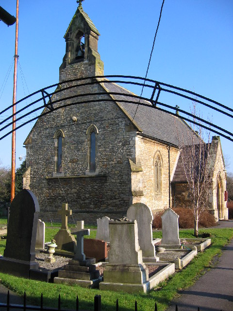
The village is characterized by its charming, traditional architecture, with many of its buildings dating back to the 19th century. The streets are lined with quaint cottages and well-maintained gardens, creating a delightful atmosphere for residents and visitors alike.
West End boasts a close-knit community, with friendly and welcoming locals. The village has a range of amenities, including a local shop, a post office, and a village hall that hosts various community events throughout the year. Additionally, there are several pubs and restaurants where residents can enjoy a meal or socialize with friends and neighbors.
The surrounding countryside offers a plethora of outdoor activities for nature enthusiasts. West End is located near several nature reserves, providing opportunities for hiking, birdwatching, and wildlife spotting. The rolling hills and scenic trails make it an idyllic location for those who enjoy the great outdoors.
Overall, West End offers a peaceful and picturesque setting, while still being conveniently close to the amenities of a larger city. It is a place where residents can enjoy a sense of community and a connection to nature.
If you have any feedback on the listing, please let us know in the comments section below.
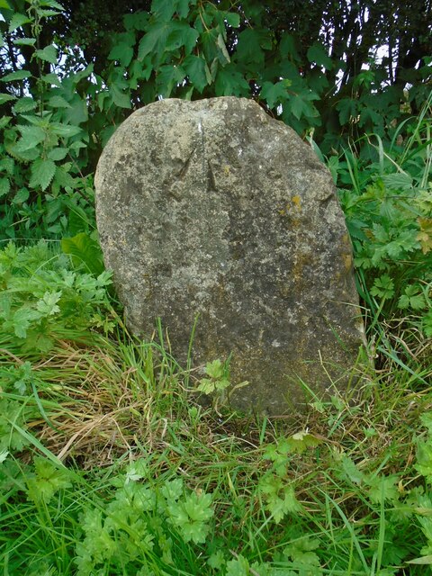
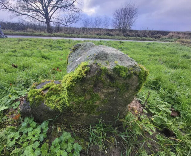
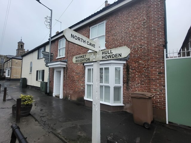
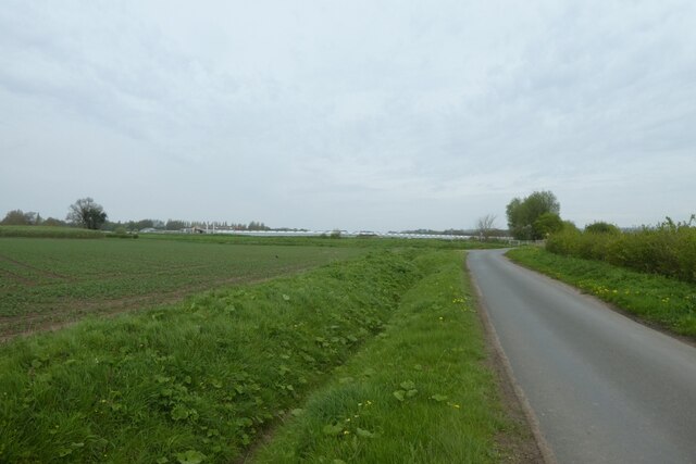
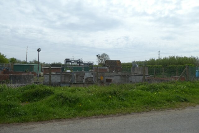
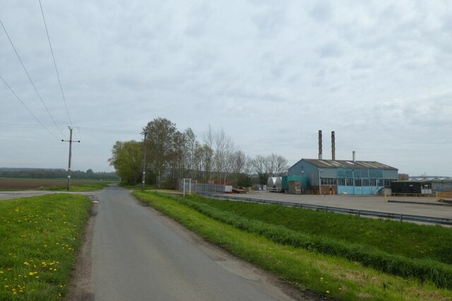
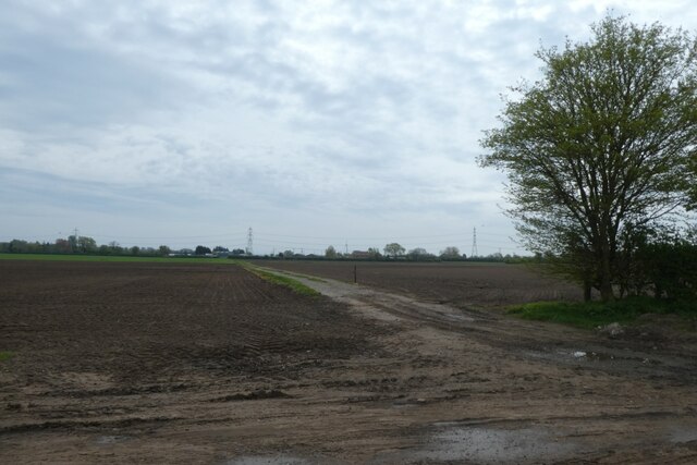
West End Images
Images are sourced within 2km of 53.764912/-0.615498 or Grid Reference SE9130. Thanks to Geograph Open Source API. All images are credited.


West End is located at Grid Ref: SE9130 (Lat: 53.764912, Lng: -0.615498)
Division: East Riding
Unitary Authority: East Riding of Yorkshire
Police Authority: Humberside
What 3 Words
///project.showed.appointed. Near South Cave, East Yorkshire
Nearby Locations
Related Wikis
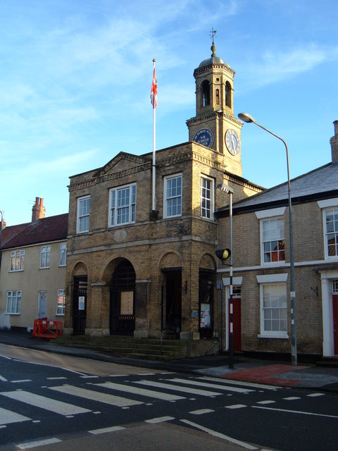
South Cave Town Hall
South Cave Town Hall is a municipal building in the Market Place, South Cave, East Riding of Yorkshire, England. The building, which is the meeting place...

South Cave
South Cave is a village and civil parish in the East Riding of Yorkshire, England. It is situated approximately 14 miles (23 km) to the west of Hull city...

Everthorpe
Everthorpe is a hamlet in the East Riding of Yorkshire, England. It is situated approximately 11 miles (18 km) west of Hull city centre and 10 miles...

HM Prison Everthorpe
HM Prison Everthorpe was a Category C men's prison, located to the south-west of Everthorpe, (near Brough) in the East Riding of Yorkshire, England. The...
Ellerker
Ellerker is a village and civil parish in the East Riding of Yorkshire, England. It is situated approximately 10 miles (16 km) west of Hull city centre...

HM Prison Wolds
HM Prison Wolds was a Category C men's prison, located south-west of Everthorpe, (near Brough) in the East Riding of Yorkshire, England. The prison was...
HM Prison Humber
HM Prison Humber is a Category C men's prison, located south-west of Everthorpe, (near Brough) in the East Riding of Yorkshire, England. The prison is...

South Cave railway station
South Cave railway station was a station on the Hull and Barnsley Railway, and served the village of South Cave in the East Riding of Yorkshire, England...
Nearby Amenities
Located within 500m of 53.764912,-0.615498Have you been to West End?
Leave your review of West End below (or comments, questions and feedback).