Willow Flats
Downs, Moorland in Yorkshire
England
Willow Flats

Willow Flats is a picturesque area located in the heart of Yorkshire, England. Situated in the stunning surroundings of the Yorkshire Downs and Moorland, this region offers a unique blend of natural beauty and tranquility.
The main feature of Willow Flats is its expansive, flat landscape covered in lush greenery and dotted with beautiful willow trees, which give the area its name. The flats stretch for miles, providing ample space for outdoor activities such as walking, cycling, and picnicking.
The Yorkshire Downs, with their rolling hills and breathtaking views, surround Willow Flats, offering visitors the opportunity to experience the region's diverse wildlife and stunning vistas. The moorland, characterized by its open, windswept terrain and heather-covered hills, adds to the charm of this area.
Willow Flats is also home to several small villages, each with its own unique character and charm. These villages offer a glimpse into traditional Yorkshire life, with their quaint cottages, local pubs, and friendly community atmosphere.
For nature enthusiasts, Willow Flats is a haven, as it is home to a wide range of bird species, including the iconic red grouse and the elusive hen harrier. The area also boasts a variety of flora, including rare orchids and wildflowers, making it a paradise for botany enthusiasts.
In summary, Willow Flats, Yorkshire Downs, and Moorland offer a serene and natural escape from the hustle and bustle of city life. With its flat landscape, stunning views, and abundant wildlife, this area is a must-visit for anyone seeking a tranquil and scenic retreat in the heart of Yorkshire.
If you have any feedback on the listing, please let us know in the comments section below.
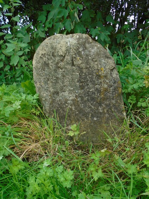
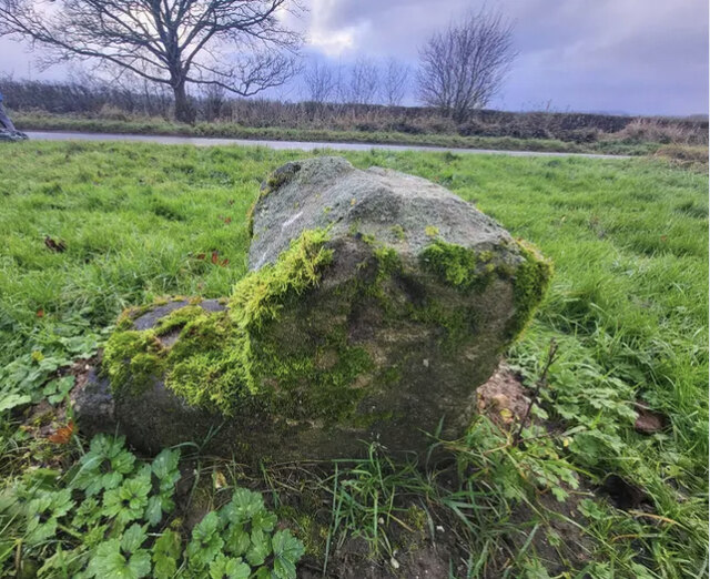
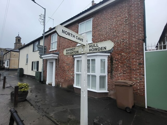
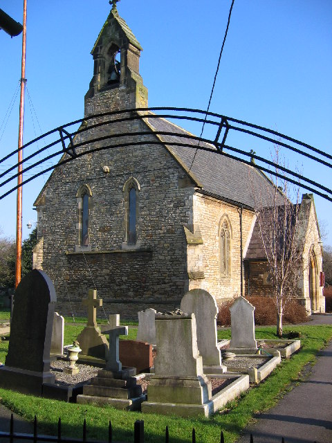
Willow Flats Images
Images are sourced within 2km of 53.761607/-0.60675682 or Grid Reference SE9130. Thanks to Geograph Open Source API. All images are credited.


Willow Flats is located at Grid Ref: SE9130 (Lat: 53.761607, Lng: -0.60675682)
Division: East Riding
Unitary Authority: East Riding of Yorkshire
Police Authority: Humberside
What 3 Words
///terribly.uncle.pokes. Near South Cave, East Yorkshire
Nearby Locations
Related Wikis
Ellerker
Ellerker is a village and civil parish in the East Riding of Yorkshire, England. It is situated approximately 10 miles (16 km) west of Hull city centre...
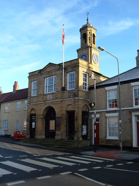
South Cave Town Hall
South Cave Town Hall is a municipal building in the Market Place, South Cave, East Riding of Yorkshire, England. The building, which is the meeting place...

South Cave
South Cave is a village and civil parish in the East Riding of Yorkshire, England. It is situated approximately 14 miles (23 km) to the west of Hull city...

Everthorpe
Everthorpe is a hamlet in the East Riding of Yorkshire, England. It is situated approximately 11 miles (18 km) west of Hull city centre and 10 miles...
Nearby Amenities
Located within 500m of 53.761607,-0.60675682Have you been to Willow Flats?
Leave your review of Willow Flats below (or comments, questions and feedback).