Ruffhamfield Plantation
Wood, Forest in Yorkshire
England
Ruffhamfield Plantation

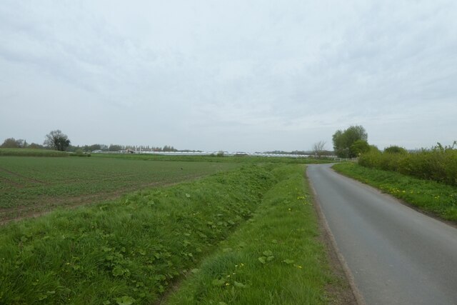
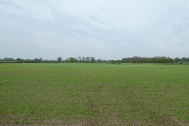
Ruffhamfield Plantation is a picturesque woodland located in the county of Yorkshire, England. Situated in the heart of the scenic countryside, this plantation is renowned for its natural beauty and rich biodiversity. Encompassing an area of approximately 500 acres, it offers a tranquil escape for nature enthusiasts and outdoor adventurers alike.
The plantation is predominantly composed of dense, mature trees, including oak, ash, beech, and birch. The lush canopy provides a haven for a wide variety of wildlife, making it a popular destination for birdwatchers and animal lovers. Visitors may spot common woodland species such as robins, blue tits, and squirrels, as well as rarer sightings like woodpeckers and deer.
Traversing the plantation, visitors can explore a network of well-maintained footpaths and trails, allowing them to discover the hidden gems of this enchanting woodland. These paths wind through the vibrant undergrowth, adorned with a stunning array of wildflowers, ferns, and mosses, creating a captivating tapestry of colors and textures.
Ruffhamfield Plantation offers more than just natural beauty; it also boasts historical significance. The area has been recognized as a designated ancient woodland, indicating its existence for centuries and its importance in the local heritage. Walking through this woodland feels like stepping back in time, as ancient trees whisper untold stories and historical remnants can be found scattered throughout.
Whether seeking solitude and serenity or embarking on an adventure through nature, Ruffhamfield Plantation provides an idyllic setting for visitors to immerse themselves in the wonders of Yorkshire's woodlands.
If you have any feedback on the listing, please let us know in the comments section below.
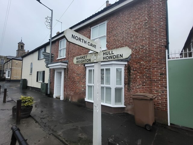
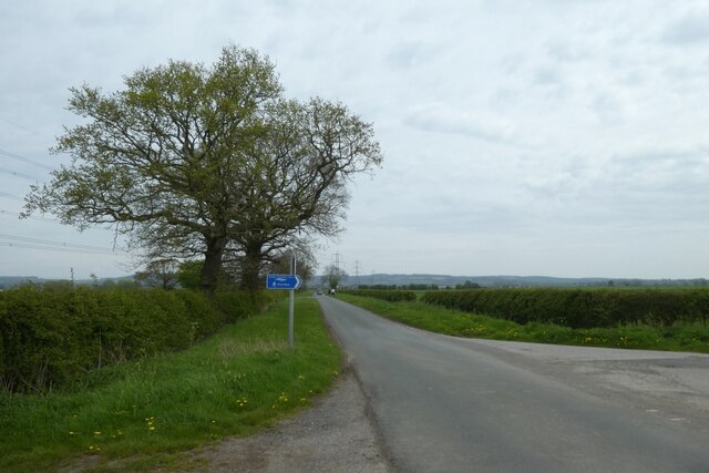
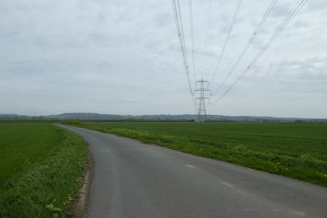
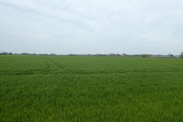
Ruffhamfield Plantation Images
Images are sourced within 2km of 53.75884/-0.62087971 or Grid Reference SE9130. Thanks to Geograph Open Source API. All images are credited.


Ruffhamfield Plantation is located at Grid Ref: SE9130 (Lat: 53.75884, Lng: -0.62087971)
Division: East Riding
Unitary Authority: East Riding of Yorkshire
Police Authority: Humberside
What 3 Words
///hiker.begins.savings. Near Ellerker, East Yorkshire
Nearby Locations
Related Wikis
Ellerker
Ellerker is a village and civil parish in the East Riding of Yorkshire, England. It is situated approximately 10 miles (16 km) west of Hull city centre...

HM Prison Everthorpe
HM Prison Everthorpe was a Category C men's prison, located to the south-west of Everthorpe, (near Brough) in the East Riding of Yorkshire, England. The...

HM Prison Wolds
HM Prison Wolds was a Category C men's prison, located south-west of Everthorpe, (near Brough) in the East Riding of Yorkshire, England. The prison was...
HM Prison Humber
HM Prison Humber is a Category C men's prison, located south-west of Everthorpe, (near Brough) in the East Riding of Yorkshire, England. The prison is...
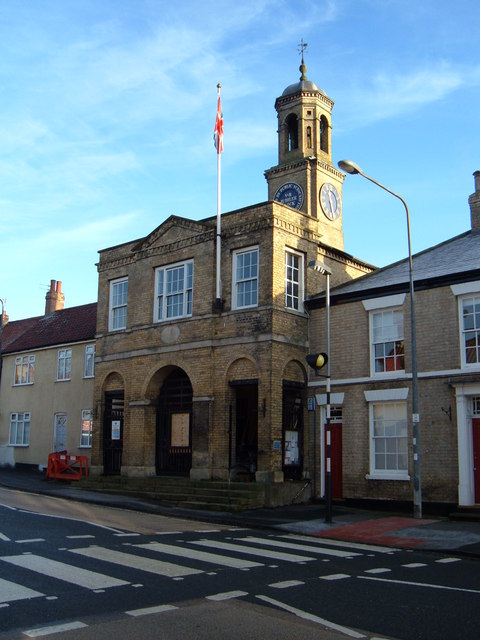
South Cave Town Hall
South Cave Town Hall is a municipal building in the Market Place, South Cave, East Riding of Yorkshire, England. The building, which is the meeting place...

Everthorpe
Everthorpe is a hamlet in the East Riding of Yorkshire, England. It is situated approximately 11 miles (18 km) west of Hull city centre and 10 miles...

South Cave
South Cave is a village and civil parish in the East Riding of Yorkshire, England. It is situated approximately 14 miles (23 km) to the west of Hull city...
North Cave railway station
North Cave railway station was a station on the Hull and Barnsley Railway, and served the village of North Cave in the East Riding of Yorkshire, England...
Nearby Amenities
Located within 500m of 53.75884,-0.62087971Have you been to Ruffhamfield Plantation?
Leave your review of Ruffhamfield Plantation below (or comments, questions and feedback).