End, West
Settlement in Yorkshire
England
End, West

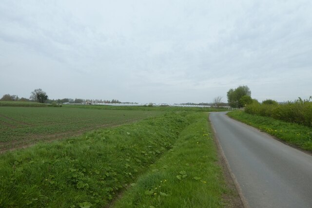
End is a small village located in the western part of Yorkshire, England. It is situated in a rural setting, surrounded by picturesque rolling hills and lush green fields. With a population of around 500 residents, it maintains a close-knit and tight community.
The village of End is known for its tranquil and peaceful atmosphere, making it an ideal destination for those seeking a retreat from the bustling city life. Its charming countryside scenery attracts many tourists, who come to enjoy the beauty and serenity it offers. The village is also popular among hikers and nature enthusiasts due to its proximity to several scenic walking trails and nature reserves.
Despite its small size, End has a number of amenities for its residents and visitors. It boasts a village hall, a primary school, a post office, and a local pub. The pub serves as a social hub, where locals often gather to socialize and enjoy traditional English food and drink.
End is well-connected to the surrounding areas through a network of roads and public transportation. The nearest major towns are located a few miles away, offering a wider range of services and shopping opportunities.
Overall, End, West Yorkshire, offers a peaceful and idyllic countryside experience, making it a popular destination for nature lovers and those seeking a break from urban life.
If you have any feedback on the listing, please let us know in the comments section below.
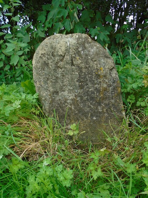
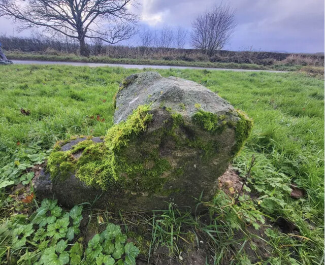
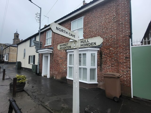
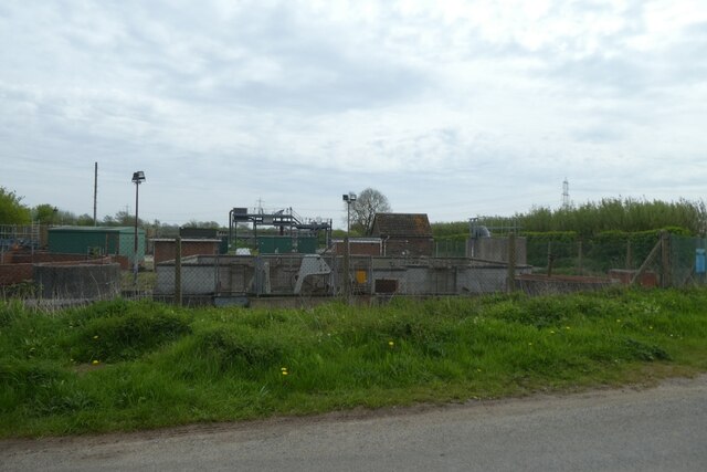
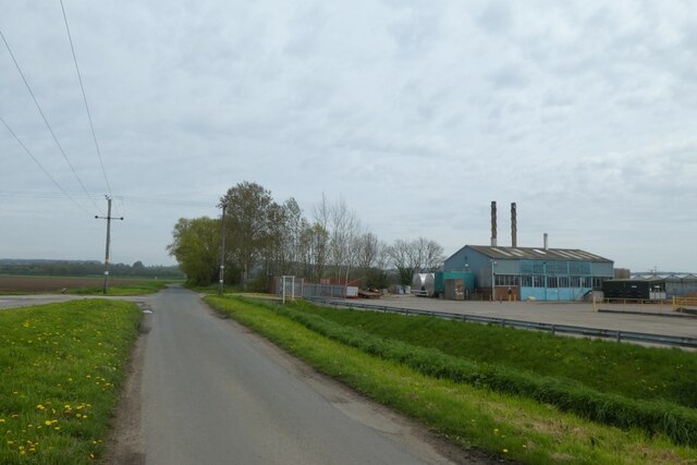
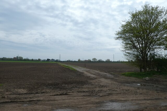
End, West Images
Images are sourced within 2km of 53.764912/-0.615498 or Grid Reference SE9130. Thanks to Geograph Open Source API. All images are credited.


End, West is located at Grid Ref: SE9130 (Lat: 53.764912, Lng: -0.615498)
Division: East Riding
Unitary Authority: East Riding of Yorkshire
Police Authority: Humberside
What 3 Words
///project.showed.appointed. Near South Cave, East Yorkshire
Nearby Locations
Related Wikis
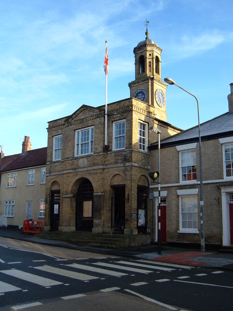
South Cave Town Hall
South Cave Town Hall is a municipal building in the Market Place, South Cave, East Riding of Yorkshire, England. The building, which is the meeting place...

South Cave
South Cave is a village and civil parish in the East Riding of Yorkshire, England. It is situated approximately 14 miles (23 km) to the west of Hull city...

Everthorpe
Everthorpe is a hamlet in the East Riding of Yorkshire, England. It is situated approximately 11 miles (18 km) west of Hull city centre and 10 miles...

HM Prison Everthorpe
HM Prison Everthorpe was a Category C men's prison, located to the south-west of Everthorpe, (near Brough) in the East Riding of Yorkshire, England. The...
Nearby Amenities
Located within 500m of 53.764912,-0.615498Have you been to End, West?
Leave your review of End, West below (or comments, questions and feedback).