West End
Settlement in Yorkshire
England
West End
West End is a small village located in the county of Yorkshire, in the northern region of England. Situated amidst the stunning natural beauty of the Yorkshire Dales, West End is known for its picturesque surroundings and tranquil atmosphere. It lies approximately 10 miles northwest of the town of Skipton, making it easily accessible for both locals and tourists.
The village is characterized by its charming stone-built houses, which give it a distinct rural charm. The local community is close-knit and friendly, offering a warm welcome to visitors. West End boasts a range of amenities, including a post office, a village hall, and a local pub, providing residents with essential services and a place to socialize.
Nature enthusiasts will be captivated by the surrounding countryside, with its rolling hills, lush green meadows, and scenic walking trails. West End is located near the popular Yorkshire Dales National Park, offering endless opportunities for outdoor activities such as hiking, cycling, and wildlife spotting.
The village is also conveniently located near several notable attractions. Bolton Abbey, a historic estate with beautiful ruins and stunning landscapes, is just a short drive away. The market town of Skipton, known for its medieval castle and vibrant market, is also within easy reach.
Overall, West End, Yorkshire, is a charming village that offers a peaceful retreat amidst the natural splendor of the Yorkshire Dales. Whether you are seeking outdoor adventures or simply a place to relax and unwind, this village has something to offer for everyone.
If you have any feedback on the listing, please let us know in the comments section below.
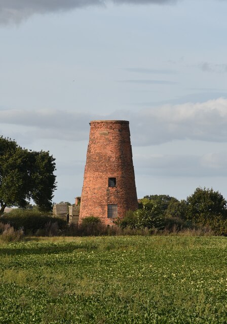
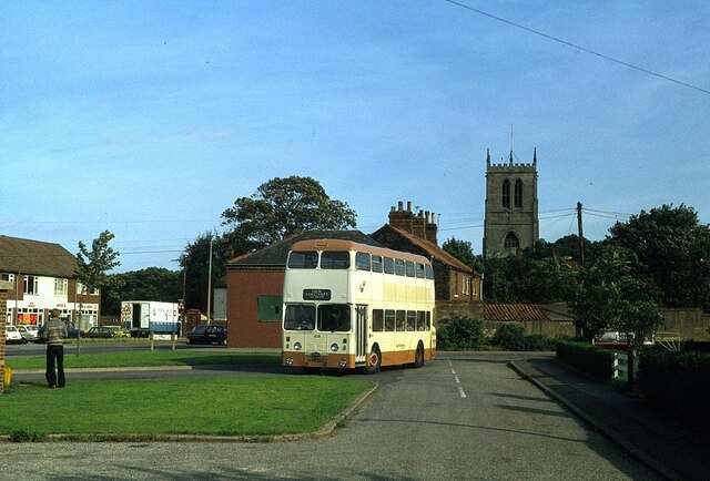
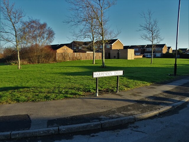
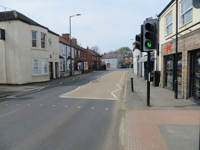
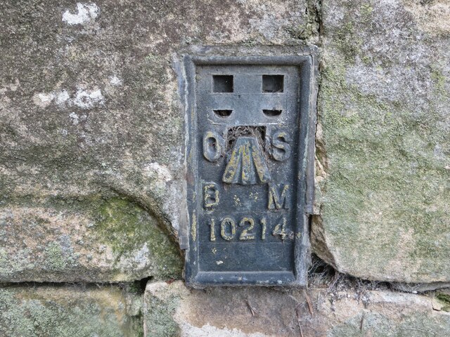
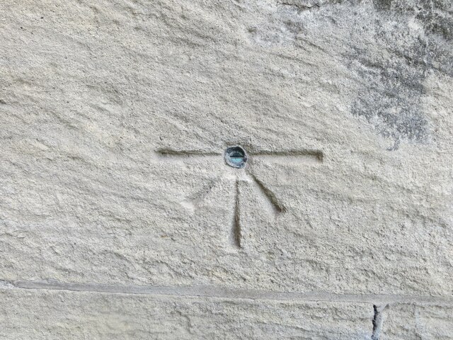
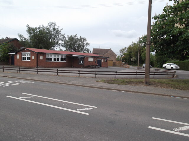
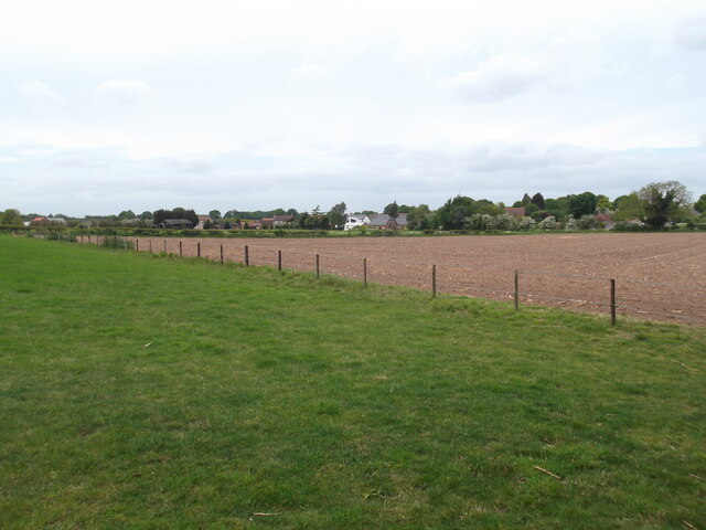
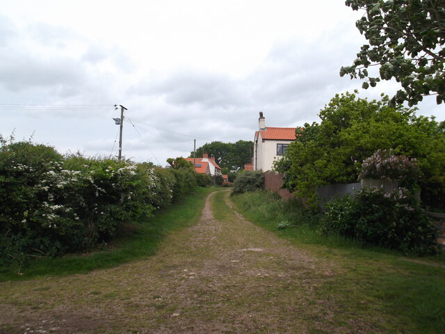
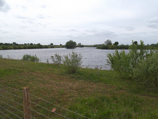
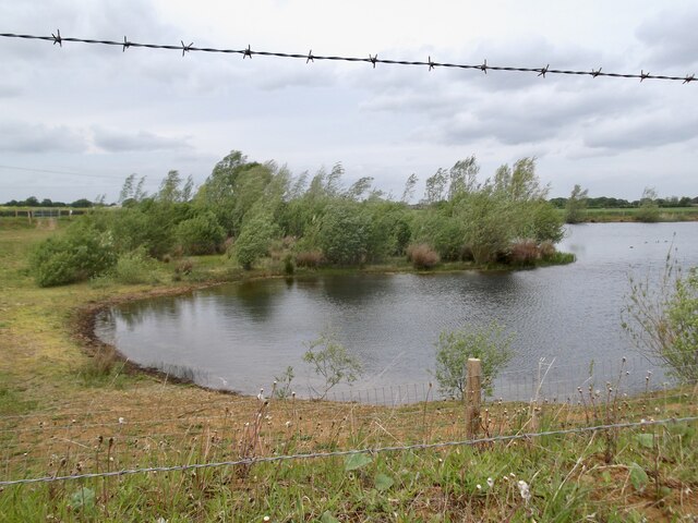
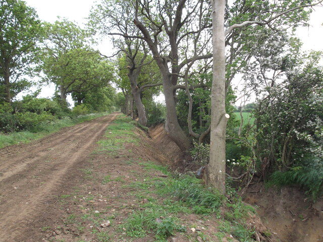
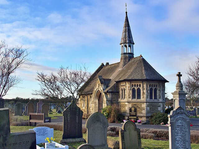
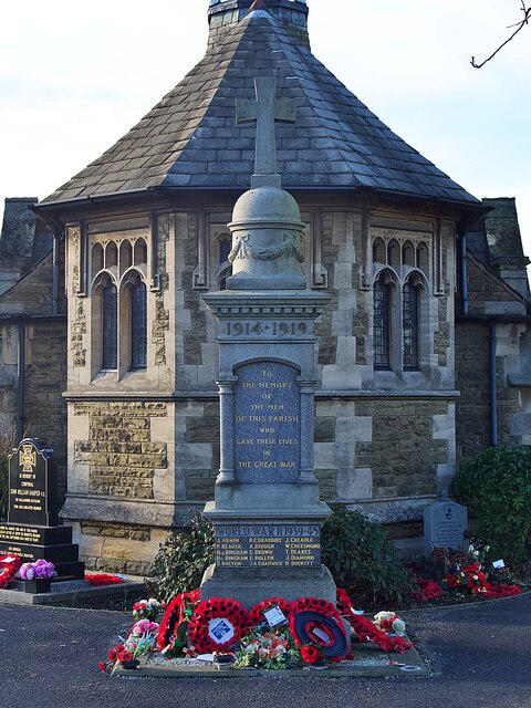
West End Images
Images are sourced within 2km of 53.564728/-0.993641 or Grid Reference SE6608. Thanks to Geograph Open Source API. All images are credited.
West End is located at Grid Ref: SE6608 (Lat: 53.564728, Lng: -0.993641)
Division: West Riding
Unitary Authority: Doncaster
Police Authority: South Yorkshire
What 3 Words
///target.skater.backfired. Near Hatfield, South Yorkshire
Nearby Locations
Related Wikis

Hatfield Manor House
Hatfield Manor House is a remodelled 18th century Grade-I listed manor house in the town of Hatfield near Doncaster, South Yorkshire, which is based on...
Ash Hill Academy
Ash Hill Academy (formerly Hatfield Visual Arts College) is a coeducational secondary school with academy status, at Hatfield, South Yorkshire, England...

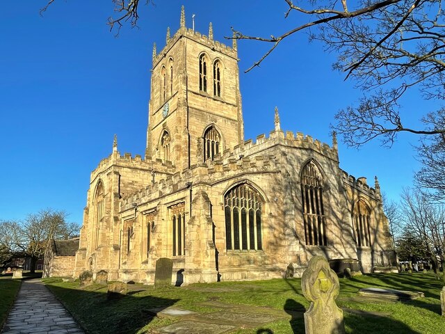
St Lawrence's Church, Hatfield
St Lawrence's Church is the parish church of Hatfield, South Yorkshire, which lies north-east of Doncaster in England. The oldest parts of the church date...

Hatfield, South Yorkshire
Hatfield is a town and civil parish in the City of Doncaster in South Yorkshire, England. It had a population of 17,236 at the 2011 Census. The town is...
Nearby Amenities
Located within 500m of 53.564728,-0.993641Have you been to West End?
Leave your review of West End below (or comments, questions and feedback).