Mill Hill
Hill, Mountain in Yorkshire
England
Mill Hill
Mill Hill is a small hill located in the region of Yorkshire, England. Situated in the northern part of the county, Mill Hill is part of the larger Pennine mountain range. Standing at an elevation of approximately 300 meters (984 feet), it is not considered a particularly tall hill compared to other peaks in the area.
Mill Hill is known for its picturesque scenery and stunning views of the surrounding countryside. Covered in lush green vegetation, the hill offers a peaceful and tranquil atmosphere for visitors. The area is popular among hikers and nature enthusiasts, who are drawn to the hill's natural beauty and the opportunity to explore its trails.
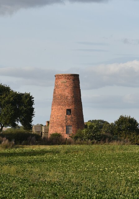
The hill is named after the numerous mills that used to operate in the area during the Industrial Revolution. These mills were powered by the nearby rivers and streams, harnessing their energy to produce textiles and other goods. Although the mills are no longer in operation, their historical significance is still evident in the surrounding landscape.
In addition to its natural beauty, Mill Hill is also home to a variety of wildlife. The hill provides a habitat for numerous bird species, including the Eurasian skylark and the northern wheatear. It is also home to small mammals such as rabbits and foxes.
Overall, Mill Hill offers a charming and peaceful escape for those seeking natural beauty and tranquility. With its stunning views, historical significance, and diverse wildlife, it is a hidden gem within the Yorkshire countryside.
If you have any feedback on the listing, please let us know in the comments section below.
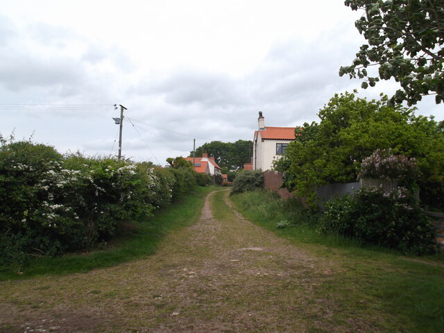
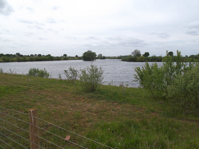
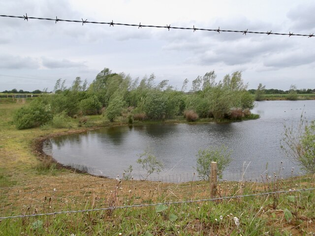
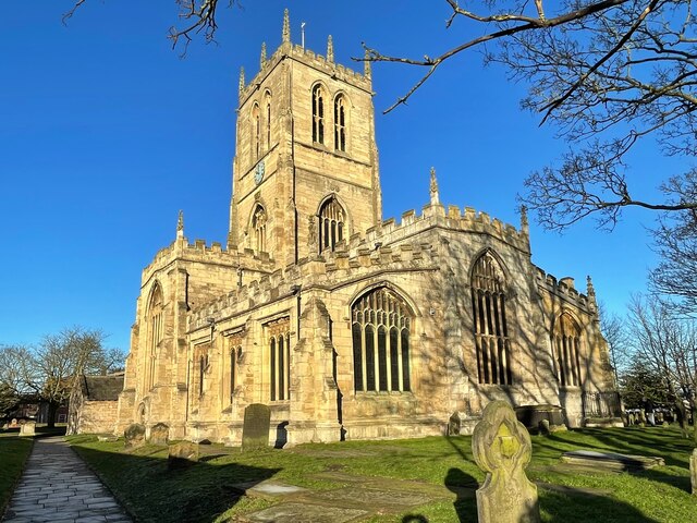
Mill Hill Images
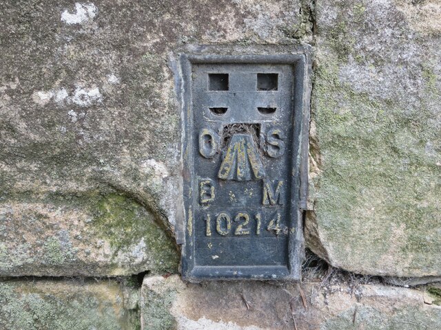
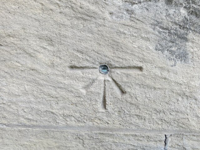
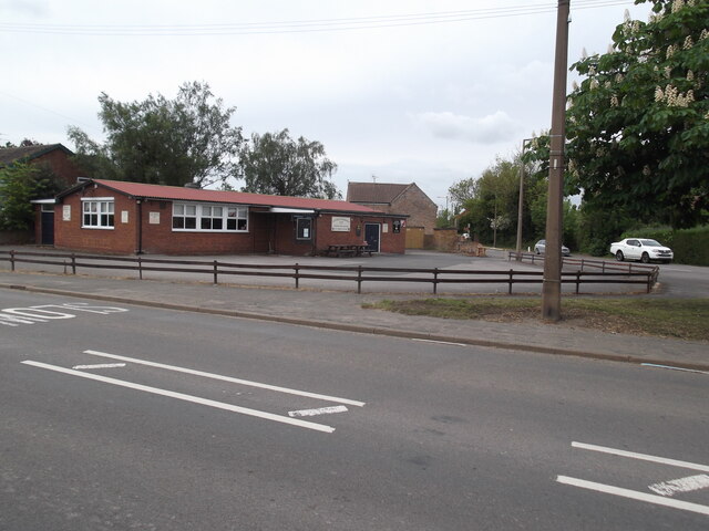
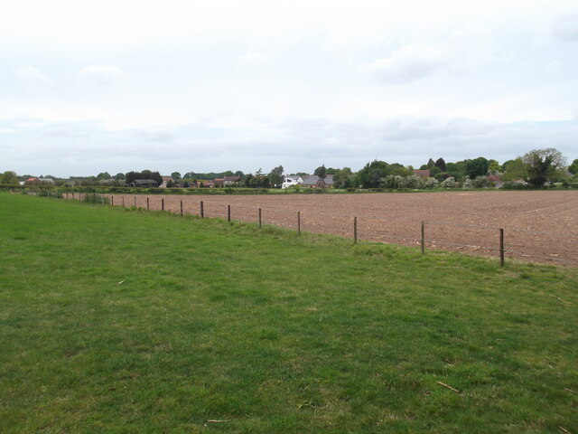
Images are sourced within 2km of 53.571036/-0.99661779 or Grid Reference SE6608. Thanks to Geograph Open Source API. All images are credited.


Mill Hill is located at Grid Ref: SE6608 (Lat: 53.571036, Lng: -0.99661779)
Division: West Riding
Unitary Authority: Doncaster
Police Authority: South Yorkshire
What 3 Words
///ticked.wolf.stylists. Near Hatfield, South Yorkshire
Nearby Locations
Related Wikis

Hatfield Manor House
Hatfield Manor House is a remodelled 18th century Grade-I listed manor house in the town of Hatfield near Doncaster, South Yorkshire, which is based on...

St Lawrence's Church, Hatfield
St Lawrence's Church is the parish church of Hatfield, South Yorkshire, which lies north-east of Doncaster in England. The oldest parts of the church date...
Ash Hill Academy
Ash Hill Academy (formerly Hatfield Visual Arts College) is a coeducational secondary school with academy status, at Hatfield, South Yorkshire, England...

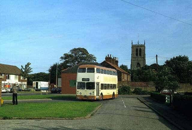
Hatfield, South Yorkshire
Hatfield is a town and civil parish in the City of Doncaster in South Yorkshire, England. It had a population of 17,236 at the 2011 Census. The town is...
Nearby Amenities
Located within 500m of 53.571036,-0.99661779Have you been to Mill Hill?
Leave your review of Mill Hill below (or comments, questions and feedback).