End, West
Settlement in Yorkshire
England
End, West
End, West Yorkshire is a small village located in the metropolitan county of West Yorkshire, England. Situated in the southern part of the county, it is nestled within the picturesque countryside landscapes that characterise the region. The village is part of the wider district of Calderdale and falls under the jurisdiction of the Calderdale Council.
With a population of around 500 residents, End is a close-knit community known for its tranquility and charm. The village is predominantly residential, with a mix of traditional stone-built houses and newer developments. The architecture reflects the area's rich history, with some buildings dating back to the 17th century. The village boasts a well-preserved village green, which serves as a focal point for community events and gatherings.
Despite its small size, End offers a range of amenities to its residents. There is a local primary school, providing education for the village's younger residents, and a village hall that hosts a variety of activities and events. For outdoor enthusiasts, there are numerous walking and cycling routes in the surrounding countryside, offering breathtaking views of the nearby moors and valleys.
End is well-connected to the wider region, with good transport links to nearby towns and cities. The village is located close to major road networks, allowing for easy access to the nearby towns of Halifax and Huddersfield. Additionally, regular bus services run through the village, providing convenient transportation options for residents.
Overall, End, West Yorkshire offers a peaceful and idyllic setting for those seeking a rural lifestyle, while still being within easy reach of urban amenities. Its charming character, natural beauty, and strong sense of community make it an appealing place to live.
If you have any feedback on the listing, please let us know in the comments section below.
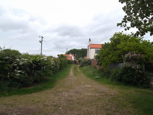
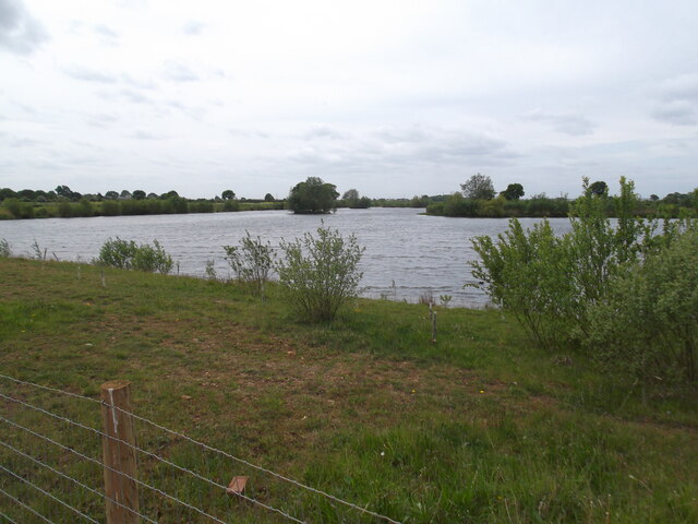
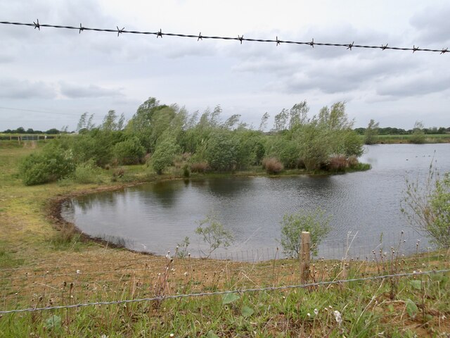
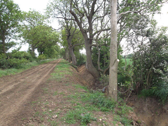
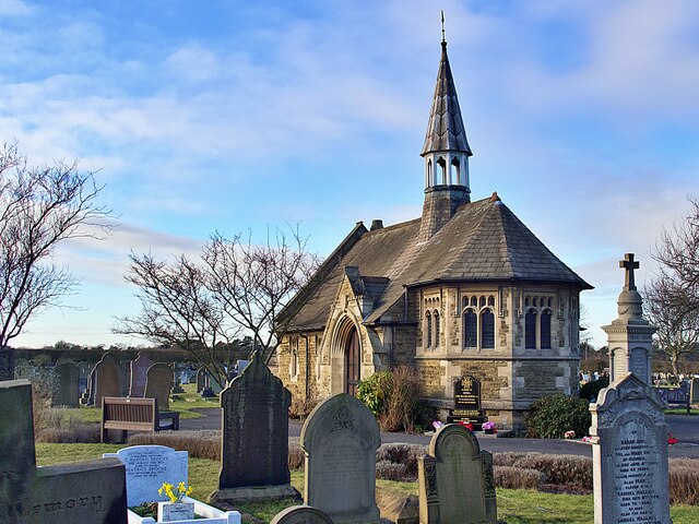
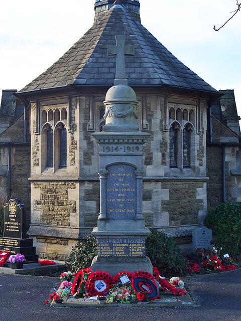
End, West Images
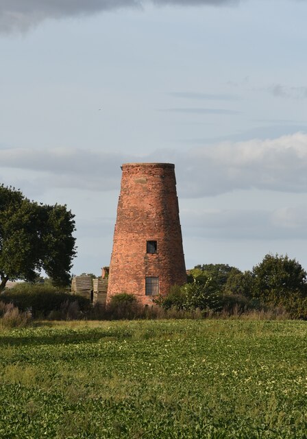
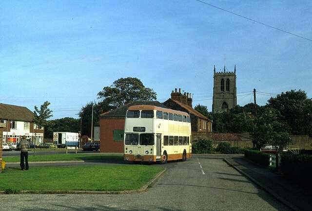
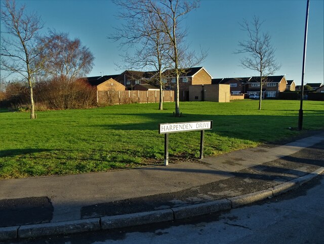
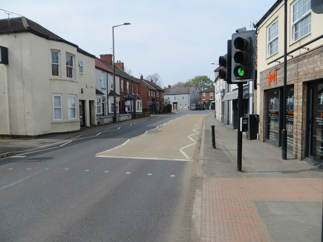
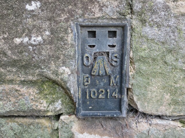
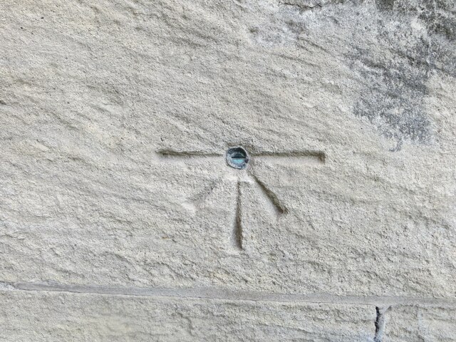
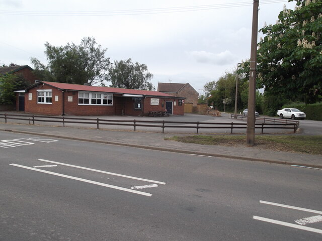
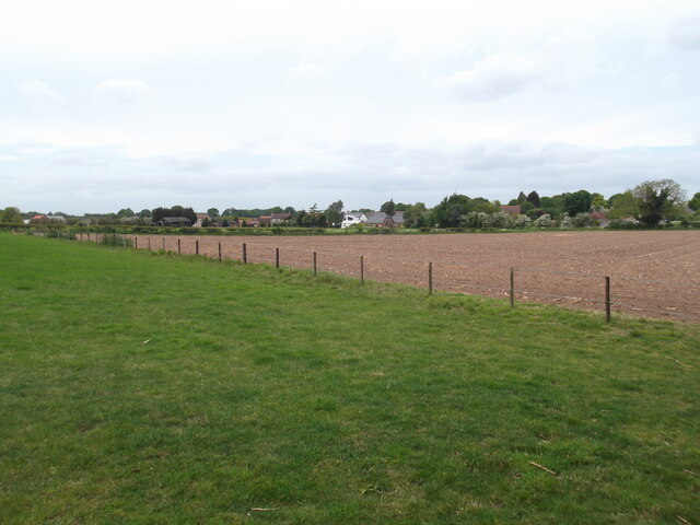
Images are sourced within 2km of 53.564728/-0.993641 or Grid Reference SE6608. Thanks to Geograph Open Source API. All images are credited.
End, West is located at Grid Ref: SE6608 (Lat: 53.564728, Lng: -0.993641)
Division: West Riding
Unitary Authority: Doncaster
Police Authority: South Yorkshire
What 3 Words
///target.skater.backfired. Near Hatfield, South Yorkshire
Nearby Locations
Related Wikis

Hatfield Manor House
Hatfield Manor House is a remodelled 18th century Grade-I listed manor house in the town of Hatfield near Doncaster, South Yorkshire, which is based on...
Ash Hill Academy
Ash Hill Academy (formerly Hatfield Visual Arts College) is a coeducational secondary school with academy status, at Hatfield, South Yorkshire, England...

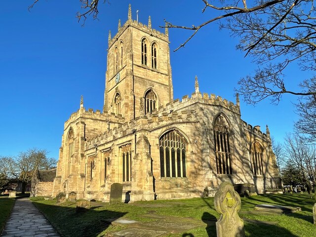
St Lawrence's Church, Hatfield
St Lawrence's Church is the parish church of Hatfield, South Yorkshire, which lies north-east of Doncaster in England. The oldest parts of the church date...

Hatfield, South Yorkshire
Hatfield is a town and civil parish in the City of Doncaster in South Yorkshire, England. It had a population of 17,236 at the 2011 Census. The town is...
Nearby Amenities
Located within 500m of 53.564728,-0.993641Have you been to End, West?
Leave your review of End, West below (or comments, questions and feedback).