West End
Settlement in Yorkshire Selby
England
West End
West End is a small village located in the county of Yorkshire, England. Situated in the West Riding district, it is nestled amidst the scenic beauty of the Yorkshire Dales, offering breathtaking views and a peaceful atmosphere. With a population of around 500 residents, West End retains its quaint charm and close-knit community feel.
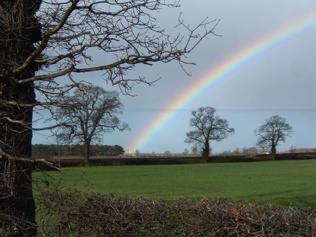
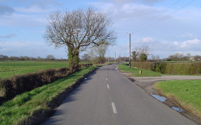
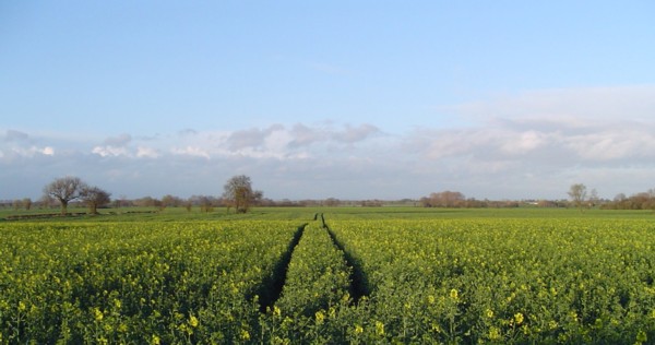
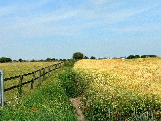
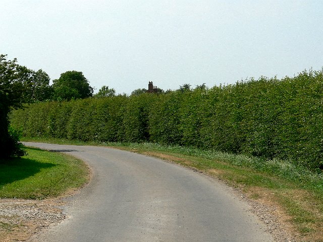
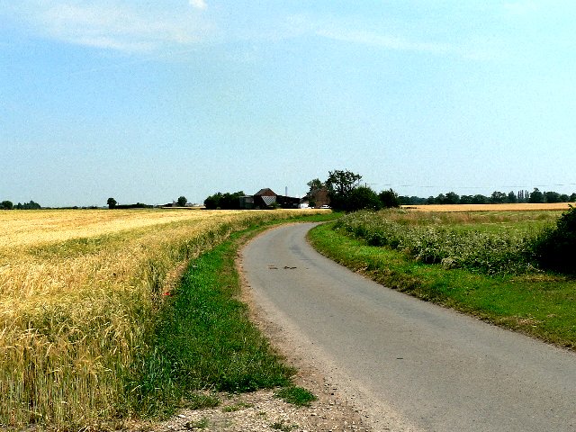
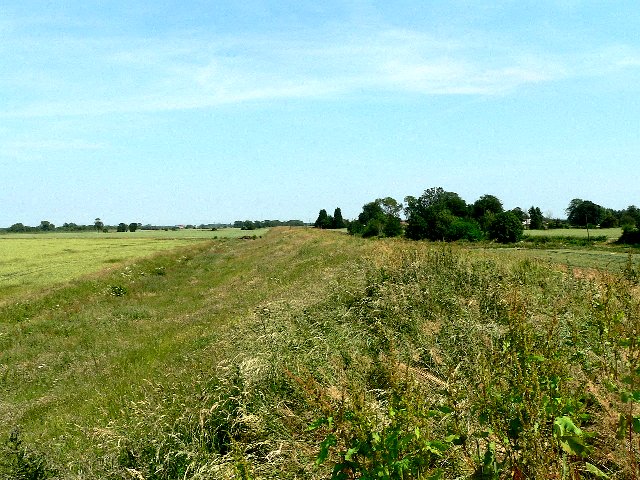
The village is known for its picturesque countryside, with rolling hills, lush green fields, and charming stone cottages dotting the landscape. It is a popular destination for nature enthusiasts, hikers, and cyclists, who can explore the various trails and paths that wind through the surrounding countryside.
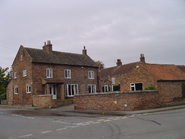
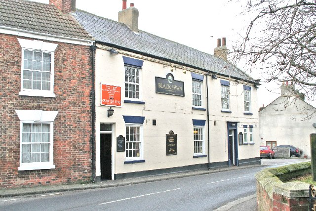
Despite its rural setting, West End offers a range of amenities for its residents and visitors. The village boasts a local pub, which serves traditional Yorkshire dishes, and a small convenience store where basic necessities can be purchased. For more extensive shopping and entertainment options, the nearby town of Skipton is easily accessible.
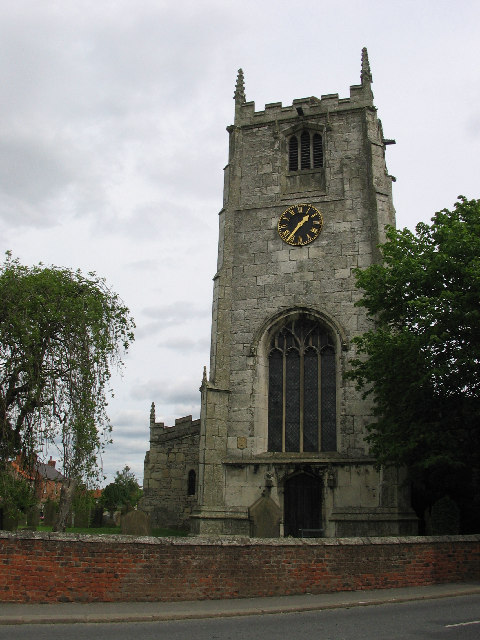
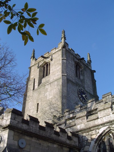
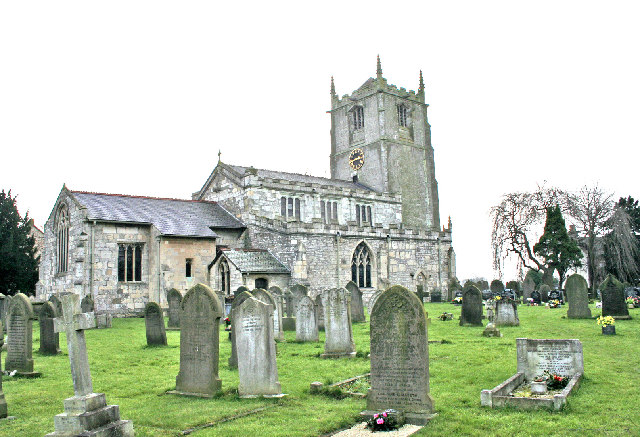
The village is also steeped in history, with several historic landmarks and buildings that showcase its rich heritage. The West End Parish Church, dating back to the 12th century, is a prime example of the village's historical significance. Additionally, the annual West End Festival attracts visitors from far and wide, with its vibrant celebrations, music, and local artisan stalls.
Overall, West End in Yorkshire offers a picturesque retreat from the hustle and bustle of city life. Its natural beauty, tight-knit community, and historical charm make it an idyllic destination for those seeking a peaceful and authentic Yorkshire experience.
If you have any feedback on the listing, please let us know in the comments section below.
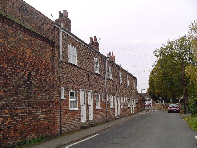
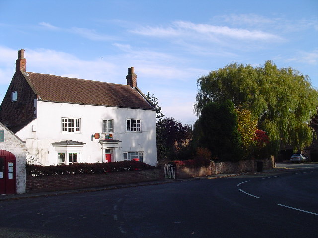
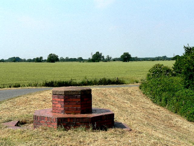
West End Images
Images are sourced within 2km of 53.808067/-1.120717 or Grid Reference SE5835. Thanks to Geograph Open Source API. All images are credited.
West End is located at Grid Ref: SE5835 (Lat: 53.808067, Lng: -1.120717)
Division: West Riding
Administrative County: North Yorkshire
District: Selby
Police Authority: North Yorkshire
What 3 Words
///circulate.struggle.spin. Near Cawood, North Yorkshire
Related Wikis

Wistow railway station
Wistow was the sole intermediate station of the short Cawood, Wistow and Selby Light Railway (CW&SLR), in rural North Yorkshire, England. The line was...

All Saints' Church, Wistow
All Saints' Church is the parish church of Wistow, a village north-west of Selby in North Yorkshire, in England. There has been a church on the site since...

Wistow, North Yorkshire
Wistow is a small village and civil parish just north of Selby, North Yorkshire, England. In the 2011 Census it had 1,333 residents; an increase from 2001...

Cawood railway station
Cawood was the northern terminus of the short Cawood, Wistow and Selby Light Railway (CW&SLR), in rural North Yorkshire, England. The line was connected...
Nearby Amenities
Located within 500m of 53.808067,-1.120717Have you been to West End?
Leave your review of West End below (or comments, questions and feedback).