End, West
Settlement in Yorkshire Selby
England
End, West
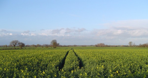
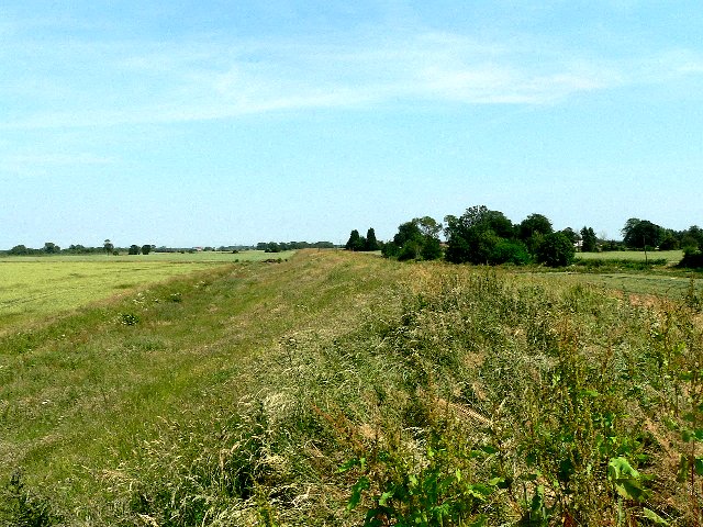
End is a small village located in the western part of Yorkshire, England. With a population of around 500 residents, it is a close-knit community that offers a peaceful and idyllic countryside setting. Situated amidst rolling hills and picturesque landscapes, End is known for its stunning natural beauty.
The village is well-connected, with good transportation links to nearby towns and cities. The nearest major town is West, which is approximately 5 miles away. West offers a range of amenities and services, including shopping centers, schools, and healthcare facilities, making it easily accessible for residents of End.
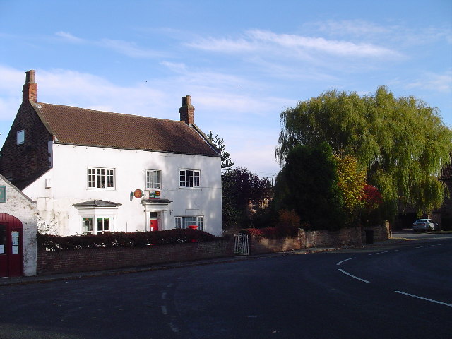
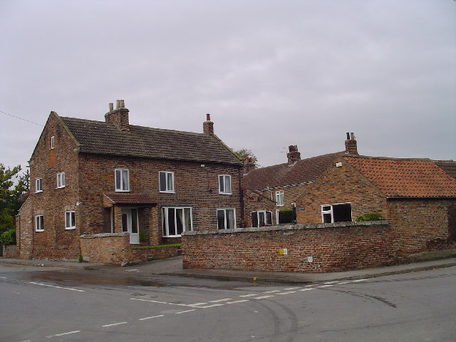
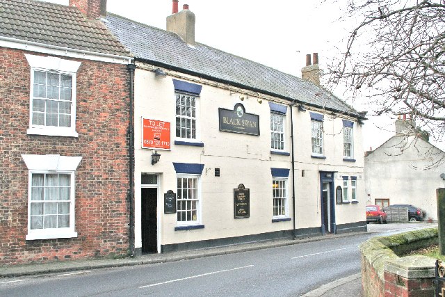
End itself has a charming village center, characterized by traditional stone buildings and a quaint atmosphere. It boasts a few local shops, a post office, and a village pub, which serves as a popular gathering spot for locals and visitors alike. The pub often hosts community events and provides a warm and welcoming atmosphere for socializing.
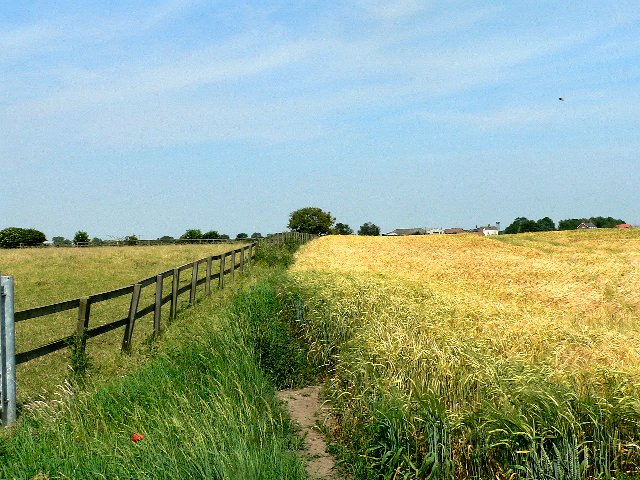
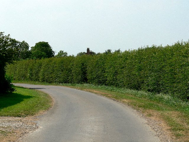
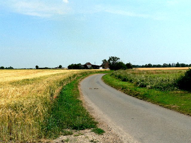
The surrounding countryside provides ample opportunities for outdoor activities, such as hiking, cycling, and horseback riding. There are numerous walking trails that showcase the area's natural beauty, including stunning views of the nearby hills and valleys. The village is also close to several nature reserves and parks, offering opportunities for wildlife spotting and birdwatching.
Overall, End is a peaceful and scenic village that offers a close community feel and access to beautiful natural surroundings. It is an ideal place for those seeking a tranquil rural lifestyle while still having convenient access to nearby amenities.
If you have any feedback on the listing, please let us know in the comments section below.
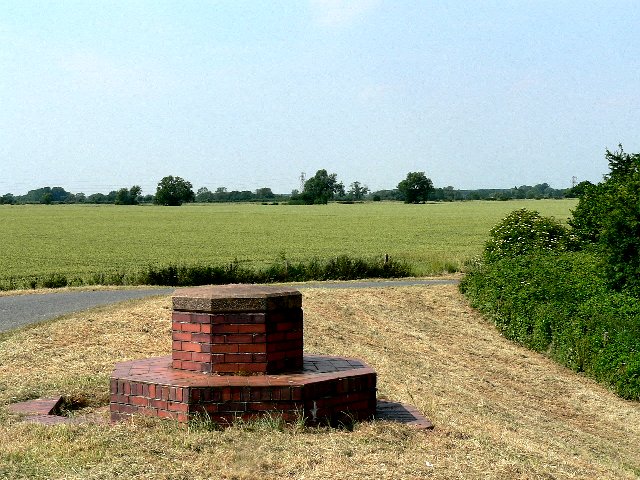
End, West Images
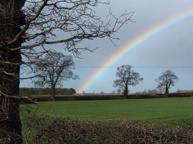
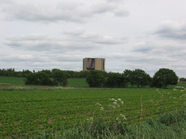
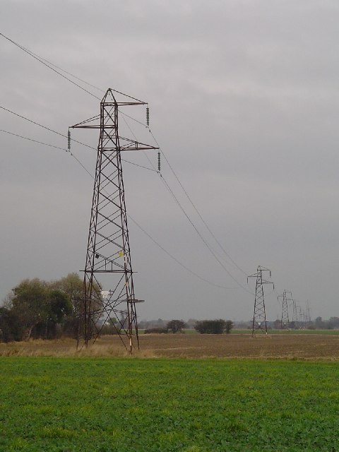
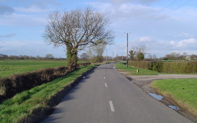
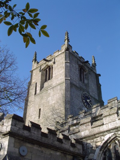
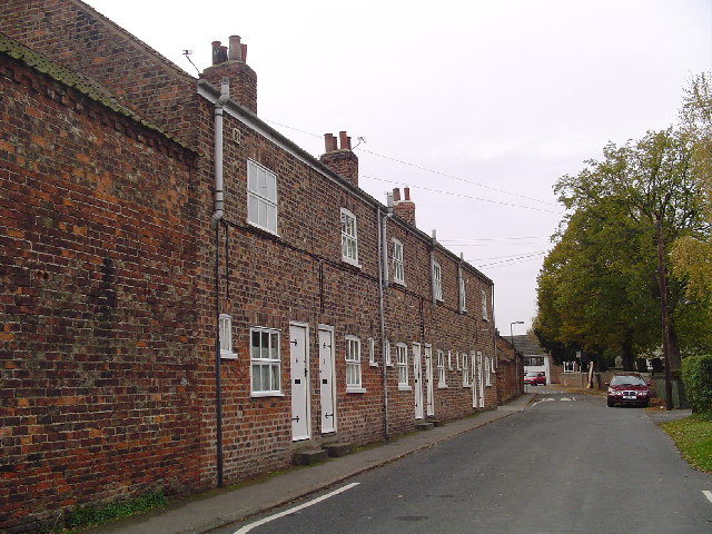
Images are sourced within 2km of 53.808067/-1.120717 or Grid Reference SE5835. Thanks to Geograph Open Source API. All images are credited.
End, West is located at Grid Ref: SE5835 (Lat: 53.808067, Lng: -1.120717)
Division: West Riding
Administrative County: North Yorkshire
District: Selby
Police Authority: North Yorkshire
What 3 Words
///circulate.struggle.spin. Near Cawood, North Yorkshire
Related Wikis

Wistow railway station
Wistow was the sole intermediate station of the short Cawood, Wistow and Selby Light Railway (CW&SLR), in rural North Yorkshire, England. The line was...

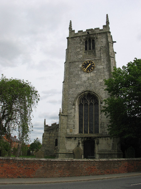
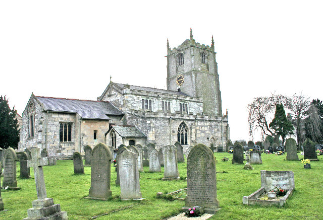
All Saints' Church, Wistow
All Saints' Church is the parish church of Wistow, a village north-west of Selby in North Yorkshire, in England. There has been a church on the site since...

Wistow, North Yorkshire
Wistow is a small village and civil parish just north of Selby, North Yorkshire, England. In the 2011 Census it had 1,333 residents; an increase from 2001...

Cawood railway station
Cawood was the northern terminus of the short Cawood, Wistow and Selby Light Railway (CW&SLR), in rural North Yorkshire, England. The line was connected...
Nearby Amenities
Located within 500m of 53.808067,-1.120717Have you been to End, West?
Leave your review of End, West below (or comments, questions and feedback).