West End
Settlement in Yorkshire Selby
England
West End
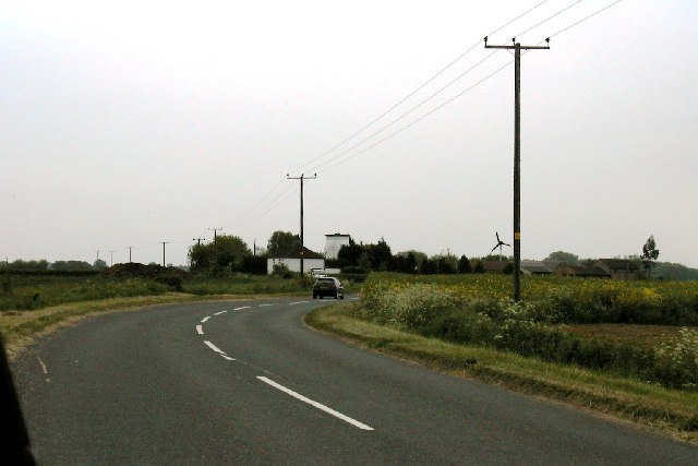
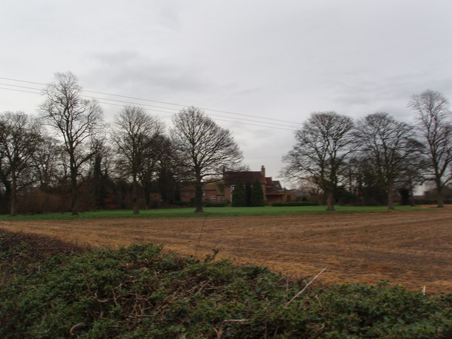
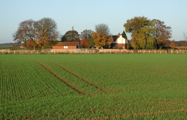
West End is a charming village located in the county of Yorkshire, England. Situated in the heart of the countryside, it is surrounded by picturesque landscapes and rolling hills. The village is part of the larger metropolitan borough of Leeds and lies approximately 10 miles west of the city center.
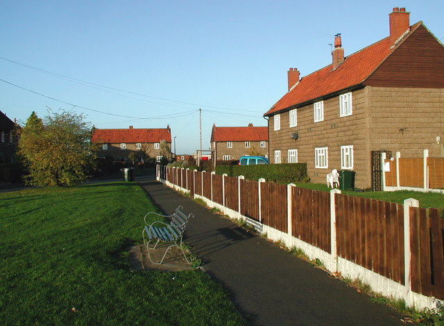
Despite its close proximity to Leeds, West End has managed to maintain its rural character and offers a peaceful retreat from the hustle and bustle of city life. The village is known for its quaint cottages and traditional architecture, which add to its charm and appeal.
West End is home to a tight-knit community that takes pride in its village. The locals are friendly and welcoming, creating a warm atmosphere for both residents and visitors. The village boasts a range of amenities, including a village hall, a local pub, and a small grocery store, ensuring that daily needs are met within walking distance.
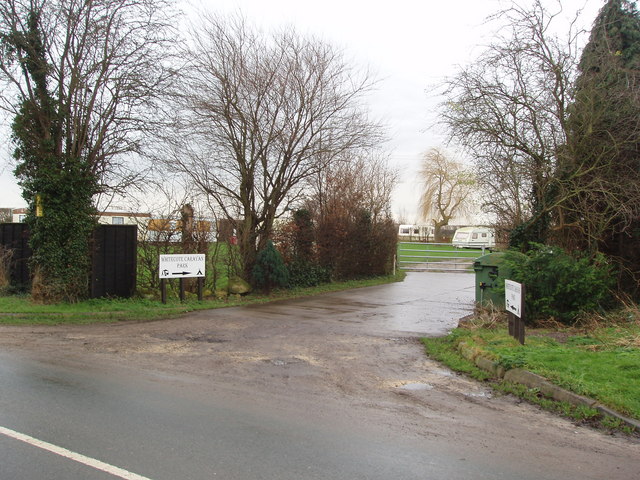
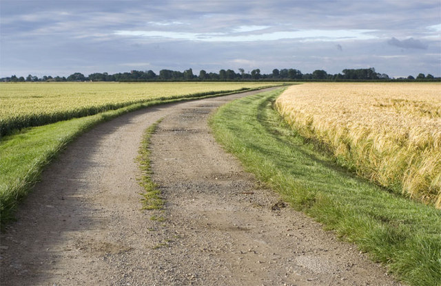
For those seeking outdoor activities, West End offers plenty of opportunities. The surrounding countryside provides endless walking and cycling trails, allowing nature enthusiasts to explore the breathtaking landscapes. Additionally, there are several parks and green spaces in the vicinity, perfect for picnics and leisure activities.
Transportation in West End is well-served by a reliable bus service, connecting the village to the nearby towns and cities. The village also benefits from its proximity to major road networks, making it easily accessible to commuters and travelers.
In conclusion, West End is a delightful village in Yorkshire, offering a tranquil setting, a close-knit community, and easy access to both rural and urban amenities. It is a wonderful place to live or visit for those seeking a peaceful retreat in the heart of the English countryside.
If you have any feedback on the listing, please let us know in the comments section below.
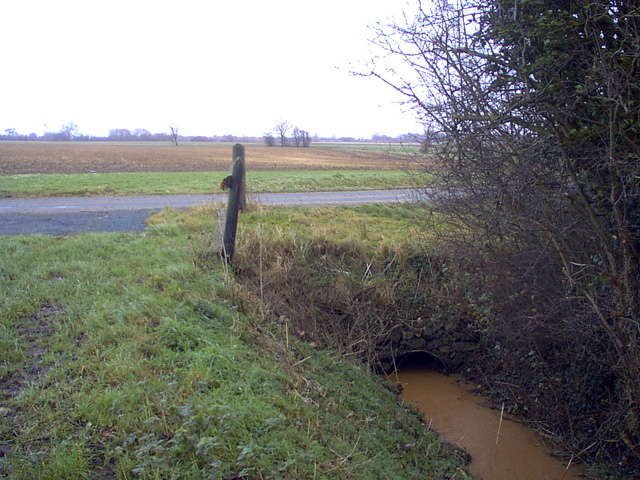
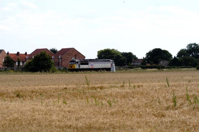
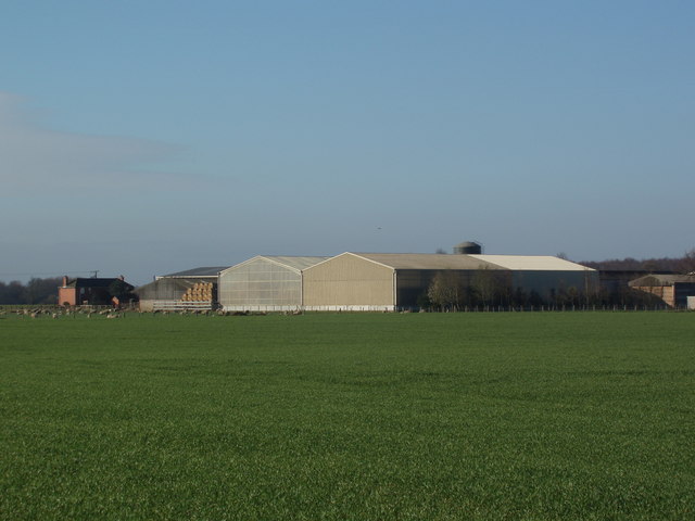
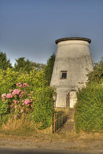
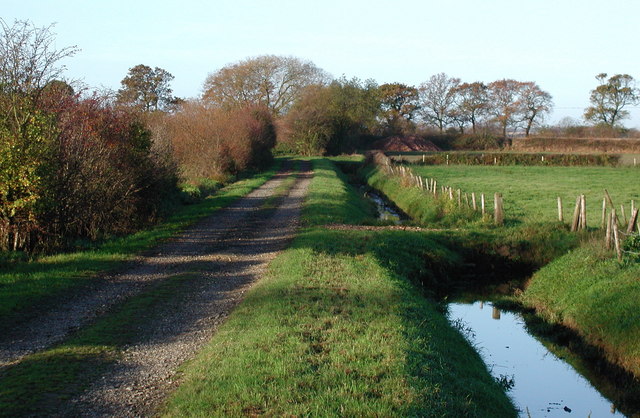
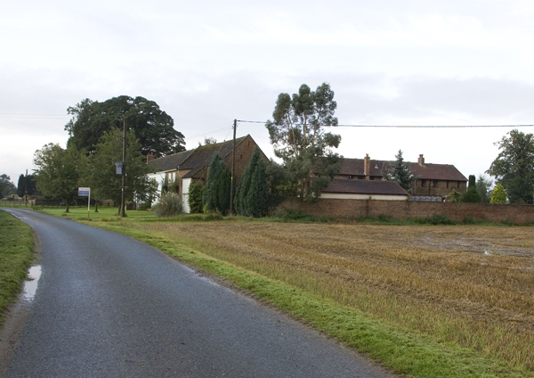
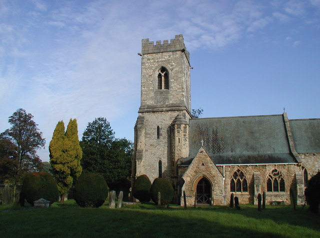
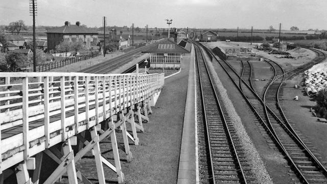
West End Images
Images are sourced within 2km of 53.85511/-1.217017 or Grid Reference SE5140. Thanks to Geograph Open Source API. All images are credited.
West End is located at Grid Ref: SE5140 (Lat: 53.85511, Lng: -1.217017)
Division: West Riding
Administrative County: North Yorkshire
District: Selby
Police Authority: North Yorkshire
What 3 Words
///depending.blaze.embellish. Near Church Fenton, North Yorkshire
Nearby Locations
Related Wikis

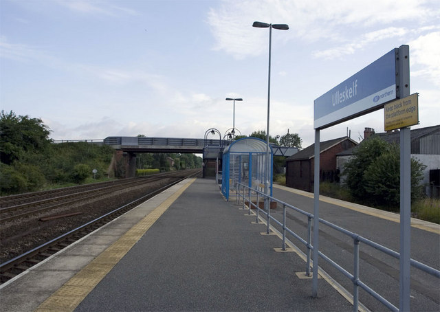
Ulleskelf railway station
Ulleskelf railway station in Ulleskelf, North Yorkshire, England, is 8.75 miles (14 km) south of York. == History == The station opened on 29 May 1839...

Ulleskelf
Ulleskelf is a village and civil parish in the Selby District of North Yorkshire, England, four miles from Tadcaster on the River Wharfe. Its name comes...
Kirkby Wharfe
Kirkby Wharfe is a village 1.9 miles (3 km) south of Tadcaster, in North Yorkshire, England. The village is in the civil parish of Kirkby Wharfe with North...
Bolton Percy railway station
Bolton Percy railway station served the village of Bolton Percy, North Yorkshire, England from 1839 to 1965 on the York and North Midland Railway. ��2...

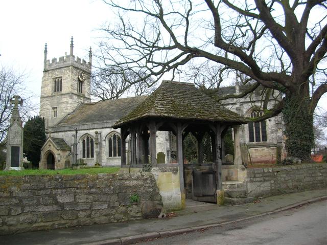
All Saints' Church, Bolton Percy
All Saints' Church is the parish church of Bolton Percy, in North Yorkshire in England. There was a church in Bolton Percy at the time of the Domesday...
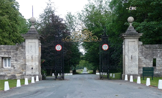
Grimston Park
Grimston Park is a grade II* listed Georgian country house in Grimston, North Yorkshire, England, some 1.7 miles (3 km) south of Tadcaster. Since being...
Grimston, Selby
Grimston is a civil parish about 8 miles from York, in North Yorkshire, England. In 2001 the parish had a population of 59. The parish touches Bolton Percy...
Bolton Percy
Bolton Percy is a village and civil parish in the Selby District of North Yorkshire, England. According to the 2001 census it had a population of 305...
Nearby Amenities
Located within 500m of 53.85511,-1.217017Have you been to West End?
Leave your review of West End below (or comments, questions and feedback).