Corking Hill
Hill, Mountain in Yorkshire Selby
England
Corking Hill
Corking Hill, located in the county of Yorkshire, is a prominent hill that forms part of the beautiful landscape in this region of England. Rising to an elevation of approximately 350 meters (1,150 feet), Corking Hill is considered a significant landmark in the area.
The hill is characterized by its gently sloping sides and a distinct summit that offers breathtaking panoramic views of the surrounding countryside. The summit is easily accessible via well-maintained footpaths, attracting hikers and nature enthusiasts throughout the year.
The vegetation on Corking Hill is diverse, featuring a mix of grasslands, heather, and scattered woodlands. This variety of habitats supports a rich ecosystem and provides a home for a wide range of plant and animal species. Birdwatchers, in particular, will find plenty of opportunities to spot various avian species such as buzzards, kestrels, and skylarks.
The hill is also steeped in history, with evidence of ancient settlements and burial mounds dating back to the Neolithic period. Archaeological excavations have unearthed artifacts and structures that provide insights into the lives of the early inhabitants of the region.
Corking Hill is a popular destination for outdoor activities such as hiking, picnicking, and wildlife observation. Its picturesque surroundings, coupled with its historical significance, make it an attractive spot for both locals and tourists looking to immerse themselves in the natural beauty and heritage of Yorkshire.
If you have any feedback on the listing, please let us know in the comments section below.
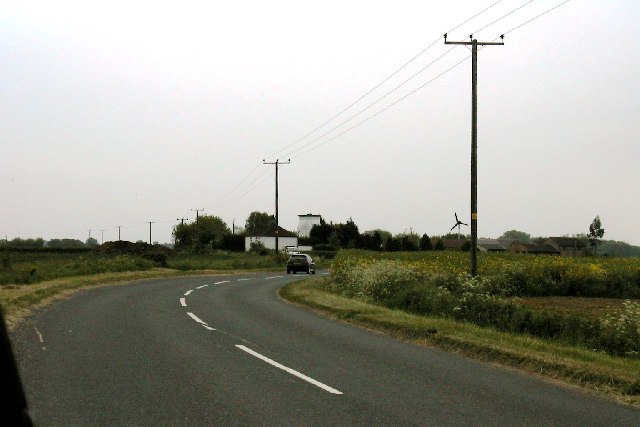
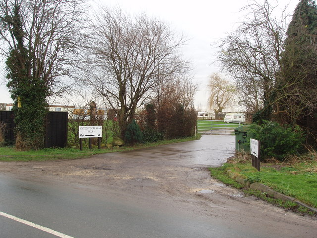
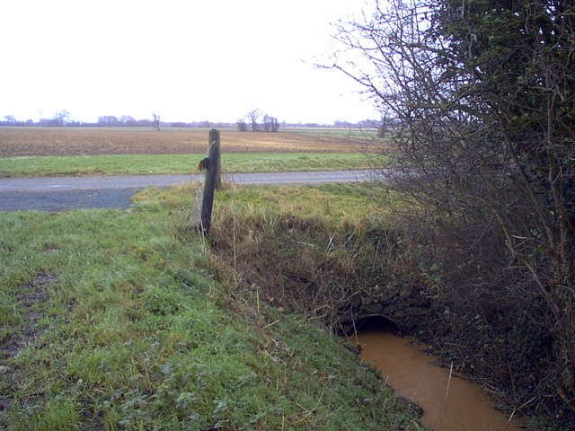
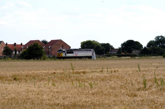
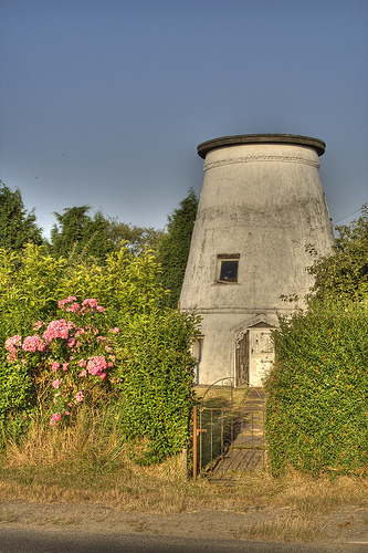
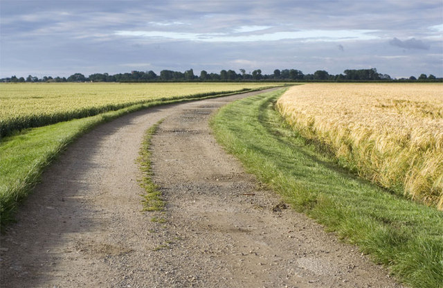
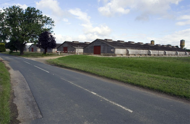
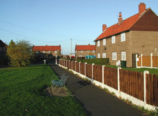
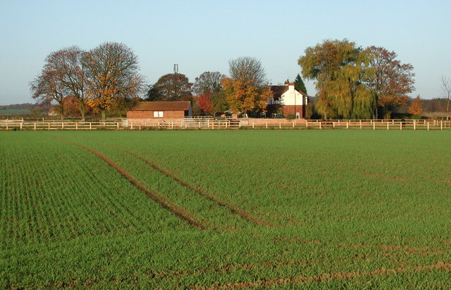
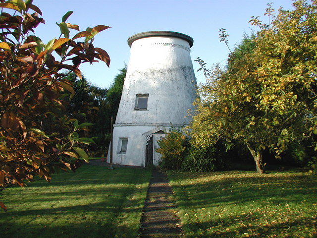
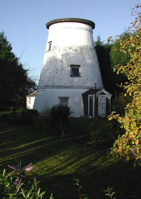
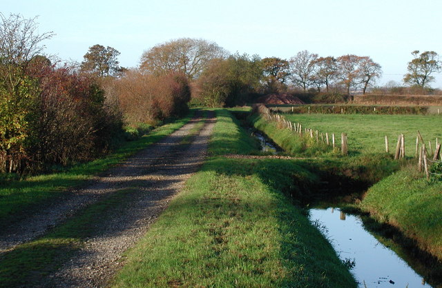
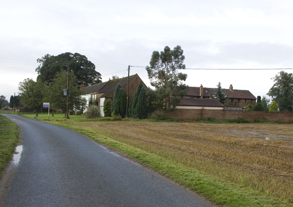
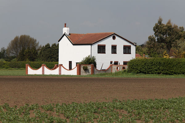
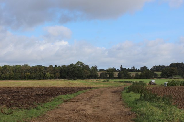
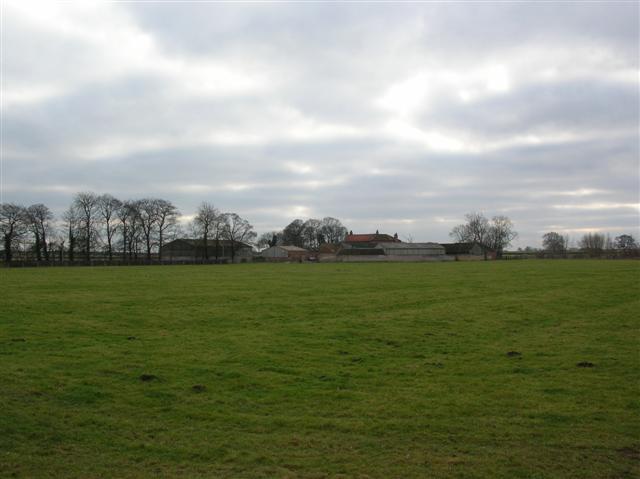
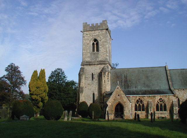
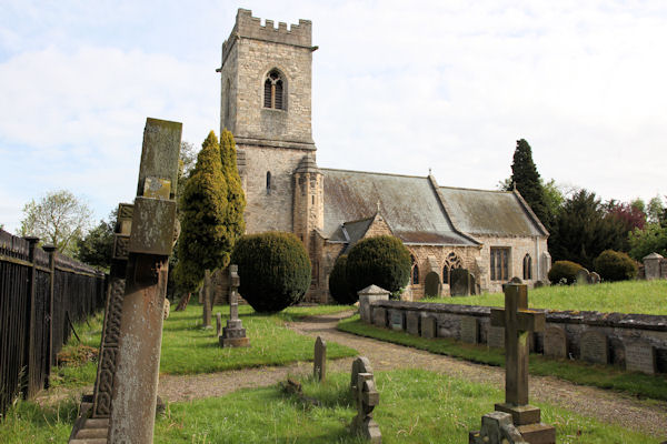
Corking Hill Images
Images are sourced within 2km of 53.858183/-1.2232825 or Grid Reference SE5140. Thanks to Geograph Open Source API. All images are credited.

Corking Hill is located at Grid Ref: SE5140 (Lat: 53.858183, Lng: -1.2232825)
Division: West Riding
Administrative County: North Yorkshire
District: Selby
Police Authority: North Yorkshire
What 3 Words
///closets.formless.comply. Near Church Fenton, North Yorkshire
Nearby Locations
Related Wikis
Kirkby Wharfe
Kirkby Wharfe is a village 1.9 miles (3 km) south of Tadcaster, in North Yorkshire, England. The village is in the civil parish of Kirkby Wharfe with North...

Ulleskelf
Ulleskelf is a village and civil parish in the Selby District of North Yorkshire, England, four miles from Tadcaster on the River Wharfe. Its name comes...

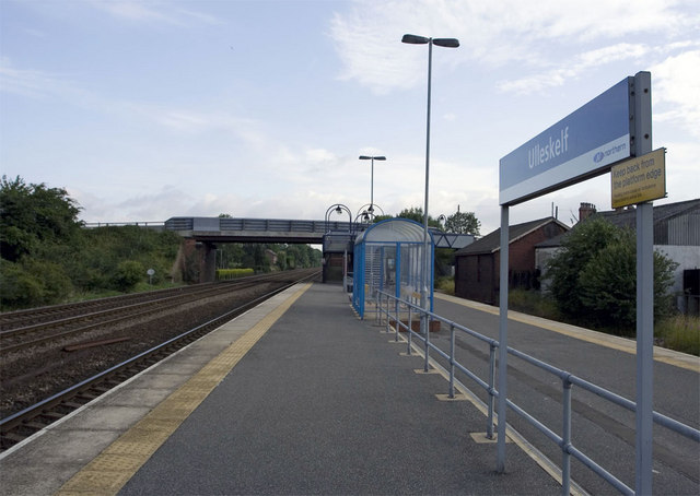
Ulleskelf railway station
Ulleskelf railway station in Ulleskelf, North Yorkshire, England, is 8.75 miles (14 km) south of York. == History == The station opened on 29 May 1839...
St John the Baptist's Church, Kirkby Wharfe
St John the Baptist's Church is the parish church of Kirkby Wharfe, a village south-west of Tadcaster, in North Yorkshire, in England. The church was first...
Nearby Amenities
Located within 500m of 53.858183,-1.2232825Have you been to Corking Hill?
Leave your review of Corking Hill below (or comments, questions and feedback).