End, West
Settlement in Yorkshire Selby
England
End, West
End, West Yorkshire is a small village located in the district of Kirklees, within the county of West Yorkshire, England. Situated in the northern region of the country, the village is nestled in the picturesque countryside, surrounded by rolling hills and fields.
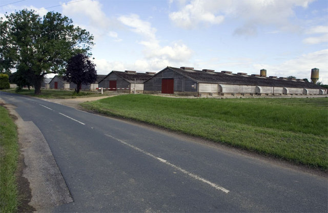
End is a close-knit community with a population of approximately 500 residents. The village is characterized by its quaint charm and traditional architecture, with many of the houses dating back several centuries. The local economy primarily relies on agriculture, with farming being a significant occupation for the villagers.
Despite its small size, End offers a range of amenities to its residents. The village boasts a primary school, providing education for children within the community. Additionally, there is a local pub, serving as a social hub where locals can gather and enjoy a drink or a meal. The village also has a post office and a small convenience store, catering to the day-to-day needs of the residents.
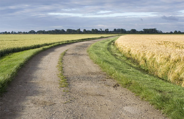
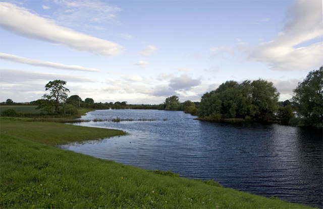
The beautiful surroundings of End make it an attractive destination for nature enthusiasts and hikers. The village is surrounded by stunning landscapes, offering numerous walking trails and opportunities to explore the great outdoors. The nearby countryside is home to an abundance of wildlife, adding to the charm of the area.
In summary, End, West Yorkshire is a small and picturesque village, rich in history and surrounded by natural beauty. With its tight-knit community and range of amenities, it offers a peaceful and idyllic lifestyle for its residents.
If you have any feedback on the listing, please let us know in the comments section below.
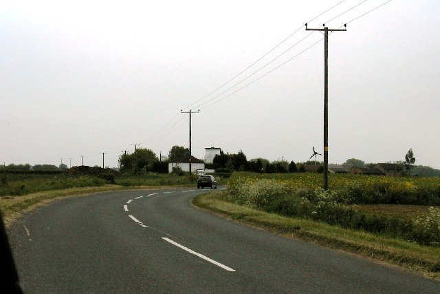
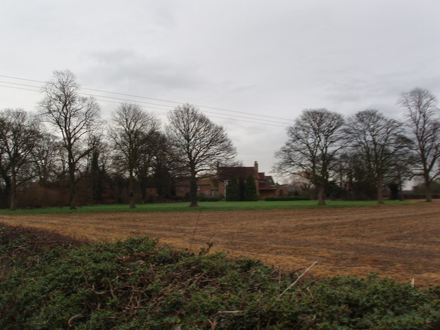
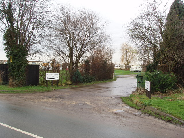
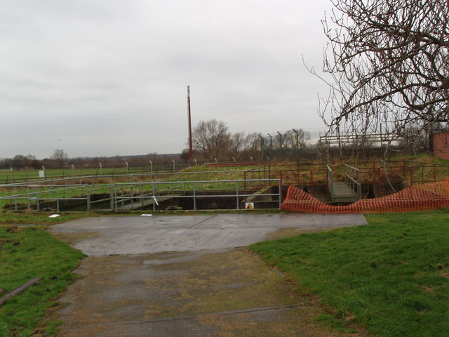
End, West Images
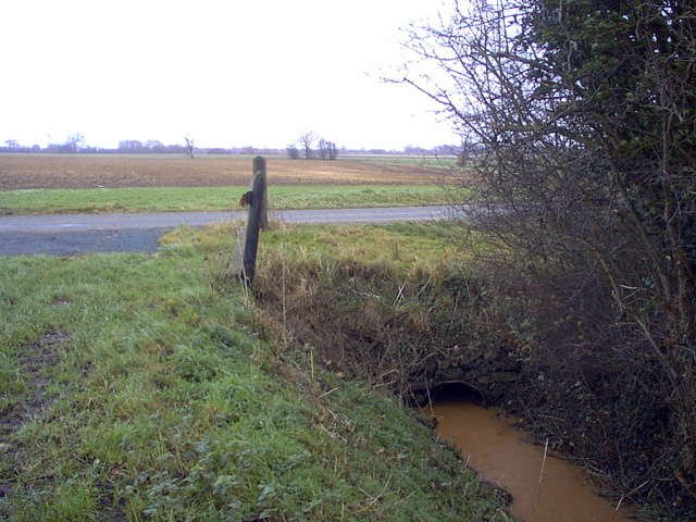
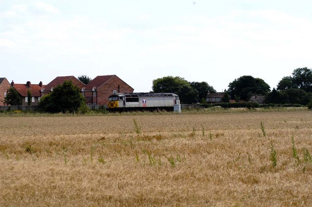
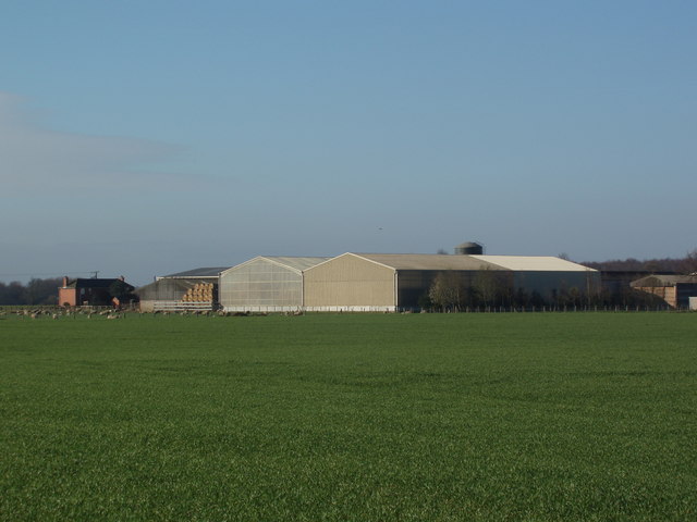
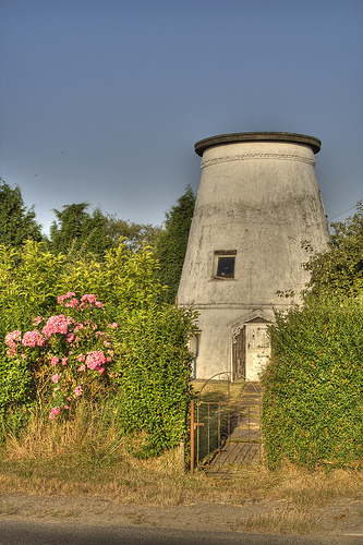
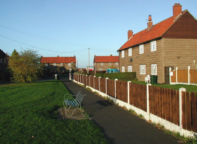
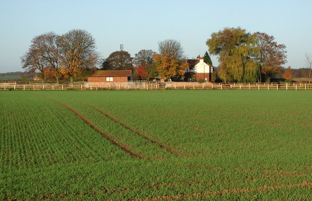
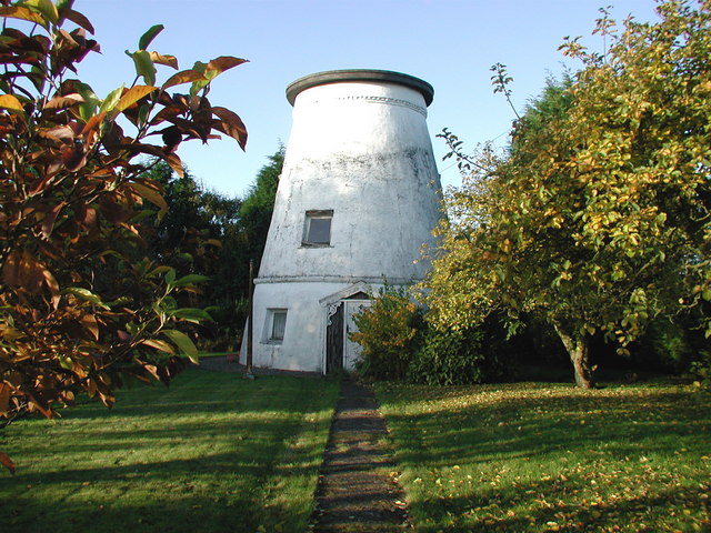
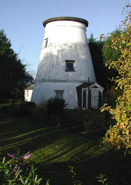
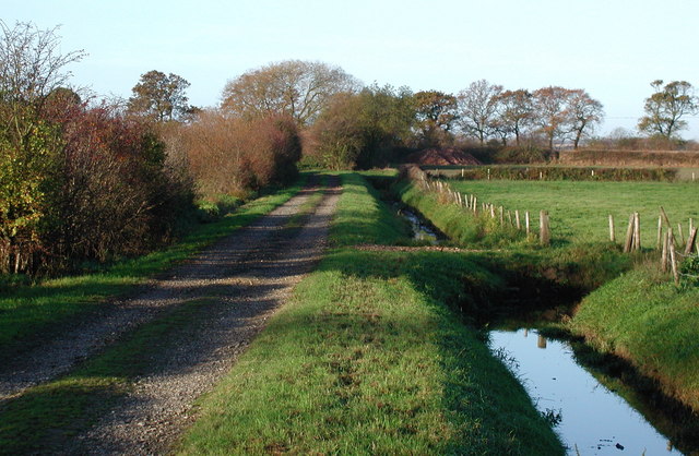
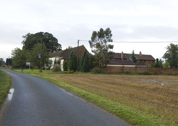
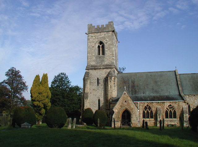
Images are sourced within 2km of 53.85511/-1.217017 or Grid Reference SE5140. Thanks to Geograph Open Source API. All images are credited.
End, West is located at Grid Ref: SE5140 (Lat: 53.85511, Lng: -1.217017)
Division: West Riding
Administrative County: North Yorkshire
District: Selby
Police Authority: North Yorkshire
What 3 Words
///depending.blaze.embellish. Near Church Fenton, North Yorkshire
Nearby Locations
Related Wikis

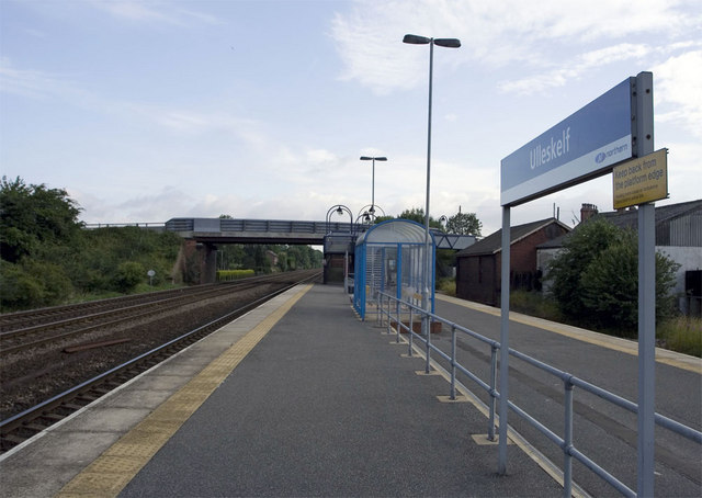
Ulleskelf railway station
Ulleskelf railway station in Ulleskelf, North Yorkshire, England, is 8.75 miles (14 km) south of York. == History == The station opened on 29 May 1839...

Ulleskelf
Ulleskelf is a village and civil parish in the Selby District of North Yorkshire, England, four miles from Tadcaster on the River Wharfe. Its name comes...
Kirkby Wharfe
Kirkby Wharfe is a village 1.9 miles (3 km) south of Tadcaster, in North Yorkshire, England. The village is in the civil parish of Kirkby Wharfe with North...
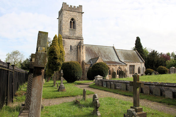
St John the Baptist's Church, Kirkby Wharfe
St John the Baptist's Church is the parish church of Kirkby Wharfe, a village south-west of Tadcaster, in North Yorkshire, in England. The church was first...
Nearby Amenities
Located within 500m of 53.85511,-1.217017Have you been to End, West?
Leave your review of End, West below (or comments, questions and feedback).