Kirkby Ings
Downs, Moorland in Yorkshire Selby
England
Kirkby Ings
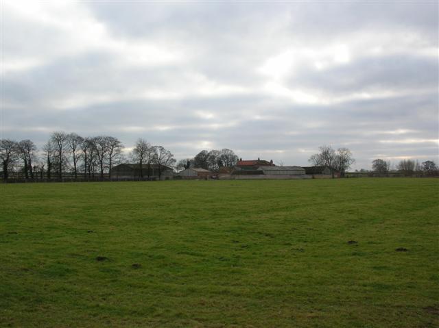
Kirkby Ings is a small village located in the countryside of Yorkshire, England. Situated amidst the beautiful landscape of the Yorkshire Downs and Moorland, the village offers a tranquil and picturesque setting for residents and visitors alike.
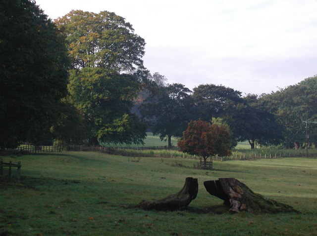
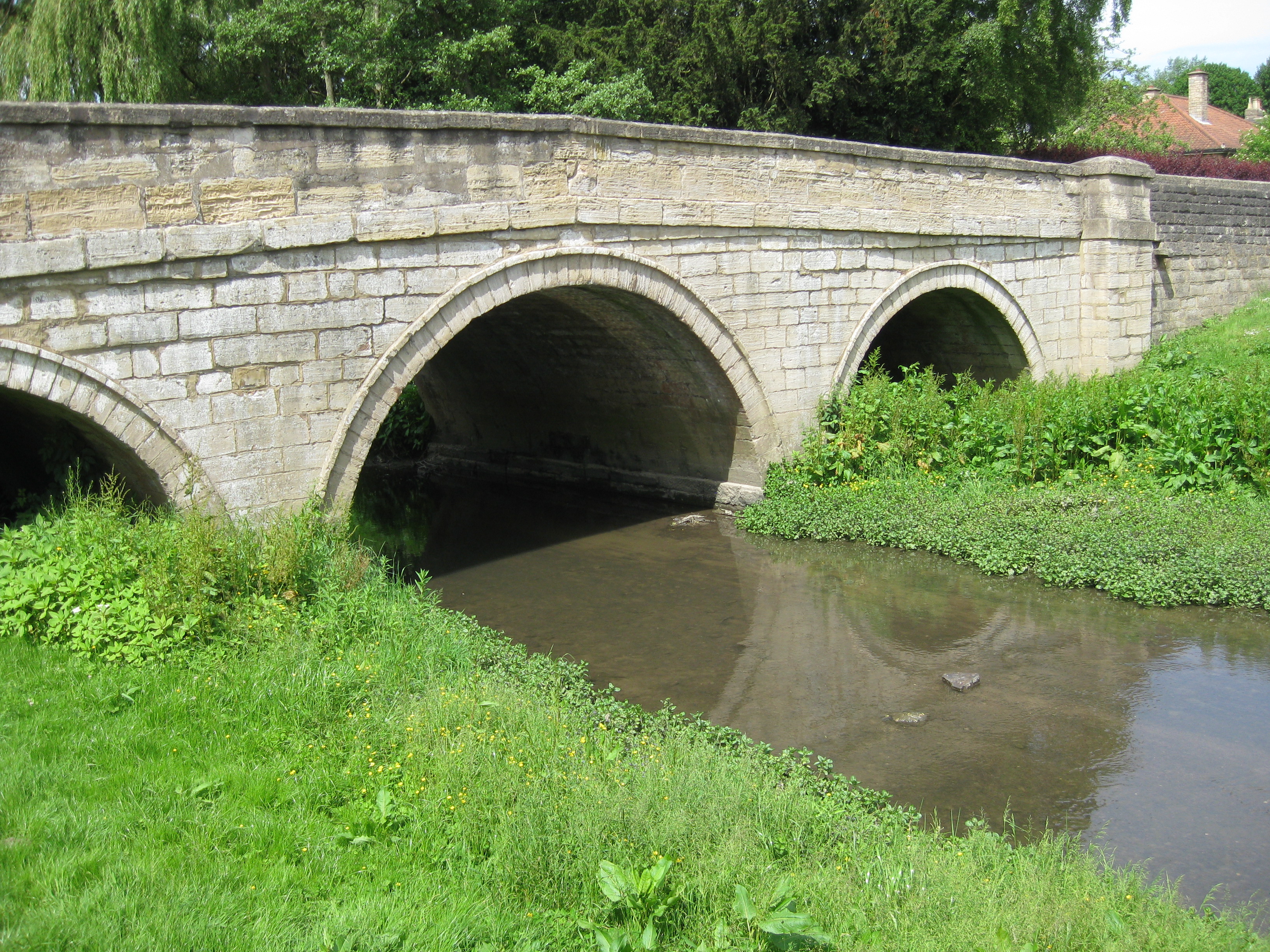
Surrounded by rolling hills and vast open fields, Kirkby Ings is renowned for its natural beauty and is a popular destination for outdoor enthusiasts. The area is home to a diverse range of flora and fauna, making it an ideal spot for hiking, birdwatching, and nature walks. The Yorkshire Downs, with their gentle slopes and stunning vistas, provide ample opportunities for breathtaking views and peaceful strolls.
The village itself is characterized by its charming stone cottages and traditional English architecture. The local community is close-knit and welcoming, with a strong sense of pride in their village and its heritage. A few small, independent shops and cafes can be found in the village center, offering a taste of local produce and homemade goods.
Kirkby Ings is also well-connected to nearby towns and cities, making it a convenient base for exploration. The vibrant city of York is just a short drive away, offering a wealth of cultural and historical attractions, including the iconic York Minster and the medieval streets of the Shambles.
Overall, Kirkby Ings, with its idyllic setting and rural charm, is a hidden gem in the heart of Yorkshire. Whether you are seeking a peaceful retreat or an adventure in the great outdoors, this village has something to offer for everyone.
If you have any feedback on the listing, please let us know in the comments section below.
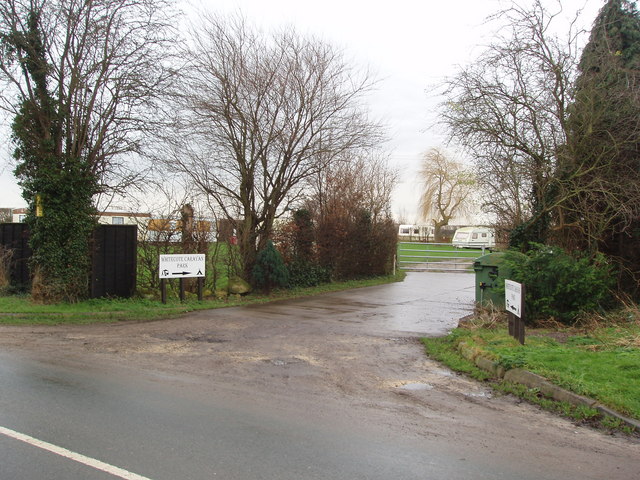
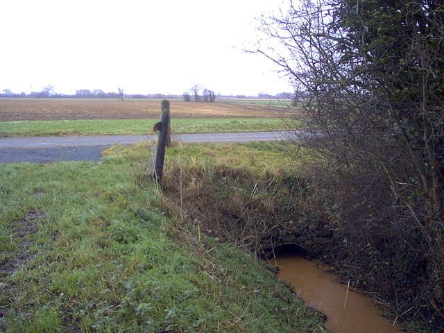
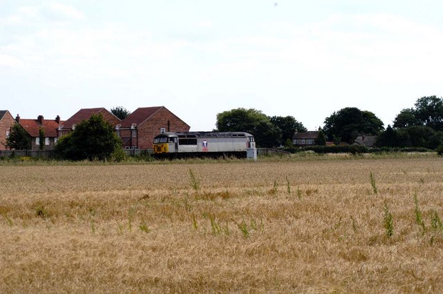
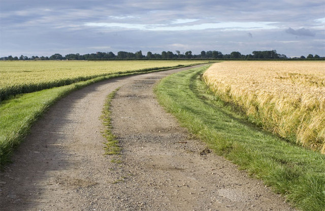
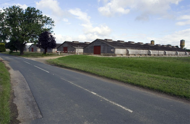
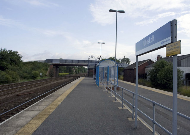
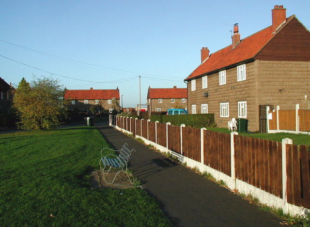
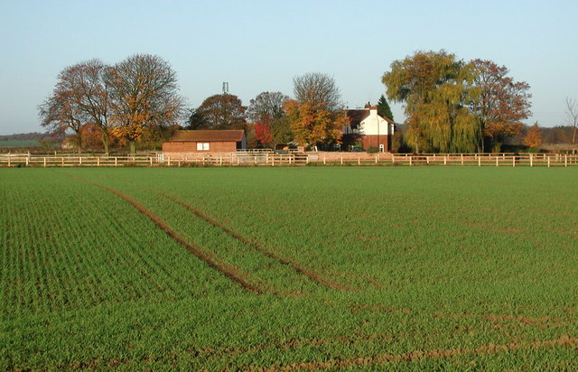
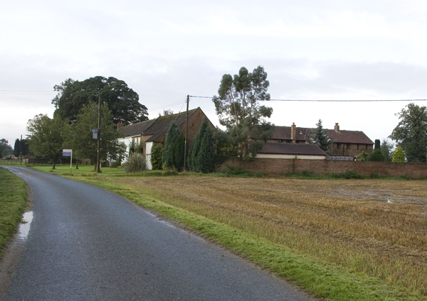
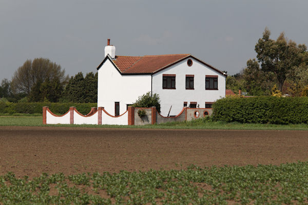
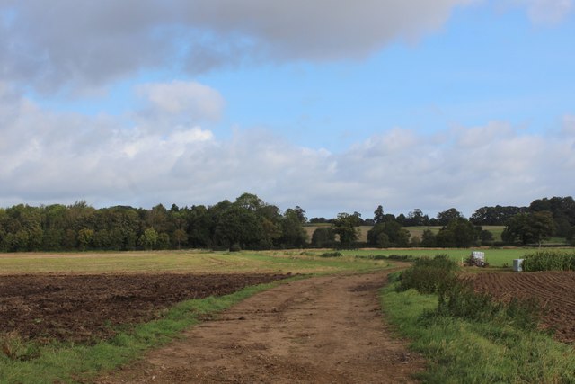
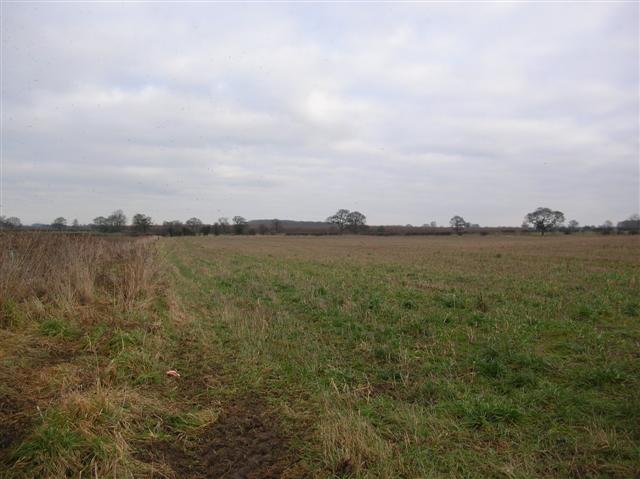
Kirkby Ings Images
Images are sourced within 2km of 53.862057/-1.2247769 or Grid Reference SE5140. Thanks to Geograph Open Source API. All images are credited.


Kirkby Ings is located at Grid Ref: SE5140 (Lat: 53.862057, Lng: -1.2247769)
Division: West Riding
Administrative County: North Yorkshire
District: Selby
Police Authority: North Yorkshire
What 3 Words
///slung.holiday.result. Near Tadcaster, North Yorkshire
Nearby Locations
Related Wikis
Kirkby Wharfe
Kirkby Wharfe is a village 1.9 miles (3 km) south of Tadcaster, in North Yorkshire, England. The village is in the civil parish of Kirkby Wharfe with North...

Ulleskelf
Ulleskelf is a village and civil parish in the Selby District of North Yorkshire, England, four miles from Tadcaster on the River Wharfe. Its name comes...

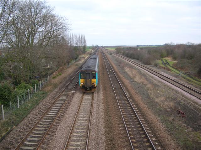
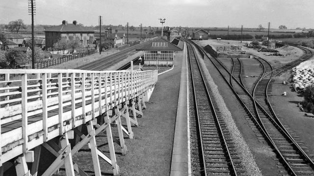
Ulleskelf railway station
Ulleskelf railway station in Ulleskelf, North Yorkshire, England, is 8.75 miles (14 km) south of York. == History == The station opened on 29 May 1839...
Grimston, Selby
Grimston is a civil parish about 8 miles from York, in North Yorkshire, England. In 2001 the parish had a population of 59. The parish touches Bolton Percy...
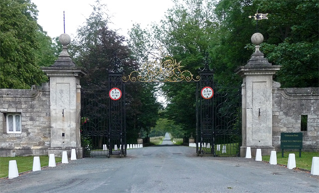
Grimston Park
Grimston Park is a grade II* listed Georgian country house in Grimston, North Yorkshire, England, some 1.7 miles (3 km) south of Tadcaster. Since being...
Bolton Percy railway station
Bolton Percy railway station served the village of Bolton Percy, North Yorkshire, England from 1839 to 1965 on the York and North Midland Railway. ��2...

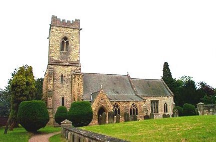
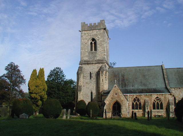
All Saints' Church, Bolton Percy
All Saints' Church is the parish church of Bolton Percy, in North Yorkshire in England. There was a church in Bolton Percy at the time of the Domesday...
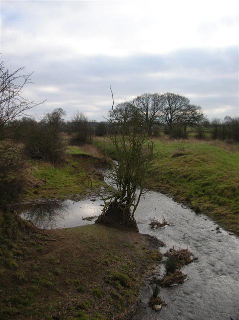
Cock Beck
Cock Beck is a stream in the outlying areas of East Leeds, West Yorkshire, England, which runs from its source due to a runoff north-west of Whinmoor,...
Nearby Amenities
Located within 500m of 53.862057,-1.2247769Have you been to Kirkby Ings?
Leave your review of Kirkby Ings below (or comments, questions and feedback).