Hall Garth
Hill, Mountain in Yorkshire Selby
England
Hall Garth
Hall Garth is a charming village located in the picturesque county of Yorkshire, England. Situated amidst rolling hills and verdant countryside, it is renowned for its natural beauty and tranquil atmosphere. The village is nestled at the foot of a prominent hill, which locals affectionately refer to as Hall Garth Hill or simply "The Mountain."
Hall Garth Hill stands at an elevation of approximately 400 meters, offering breathtaking panoramic views of the surrounding landscape. It is a popular destination for hikers and nature enthusiasts, who relish the opportunity to explore its well-marked trails and admire the diverse flora and fauna that call it home.
The hill is characterized by its gentle slopes and lush vegetation, making it accessible to walkers of all ages and abilities. Along the way, visitors may encounter picturesque streams, ancient woodlands, and an abundance of wildlife, including deer, rabbits, and a variety of bird species.
At the summit of Hall Garth Hill, there is a small stone marker that provides information about the hill's history and significance. The marker also acts as a vantage point, allowing visitors to take in the breathtaking vistas of the surrounding countryside, with its patchwork fields, quaint villages, and distant hills.
Hall Garth Hill is a true gem in the Yorkshire countryside, offering a peaceful retreat for those seeking respite from the hustle and bustle of urban life. Its natural beauty and idyllic surroundings make it a must-visit destination for anyone exploring the region.
If you have any feedback on the listing, please let us know in the comments section below.
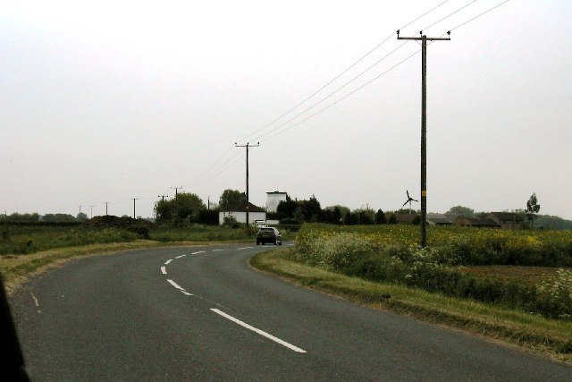
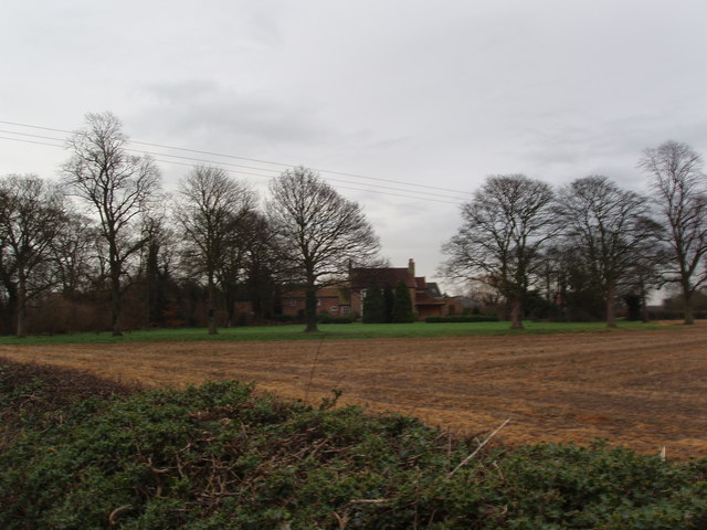
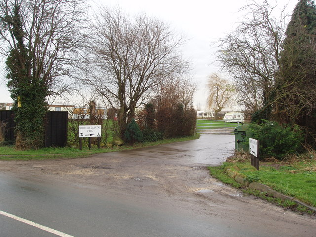
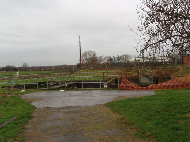
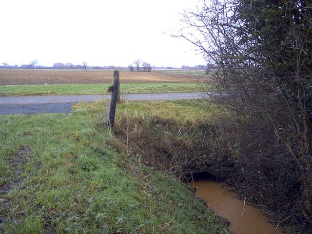
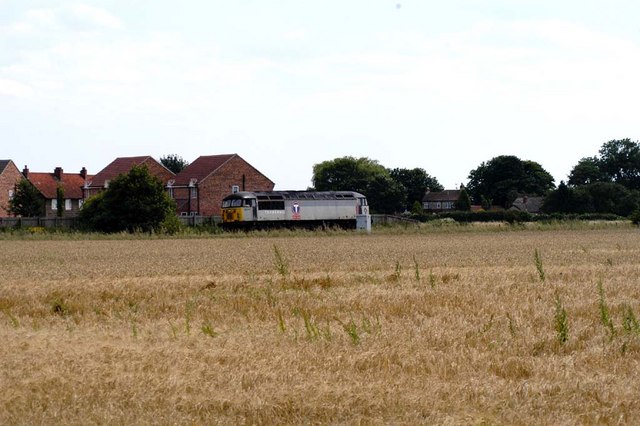
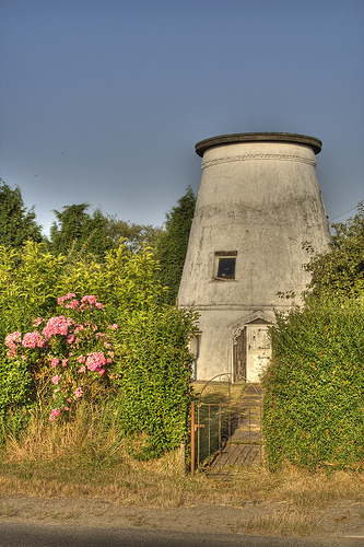
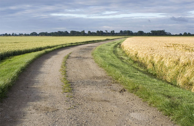
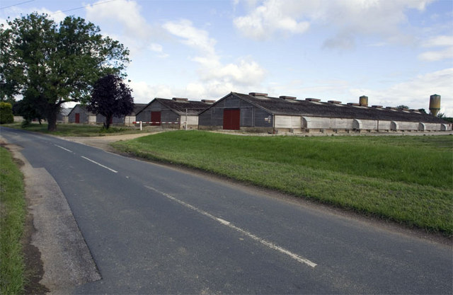
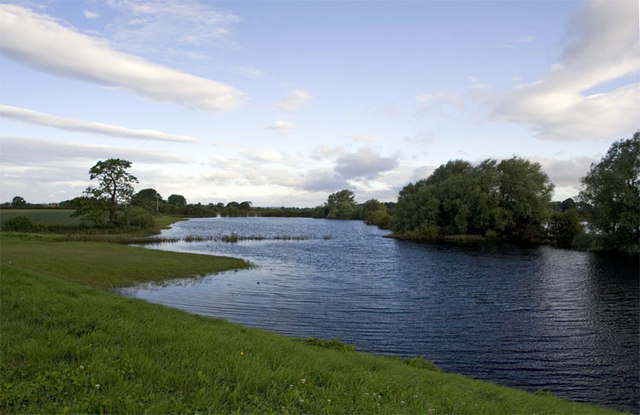
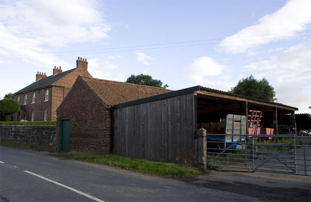
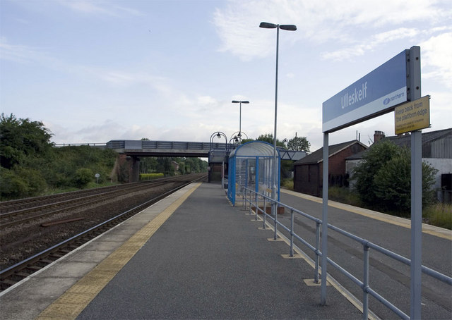
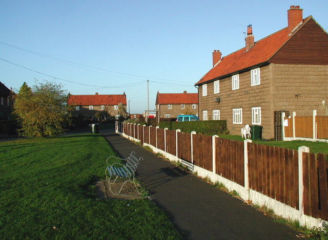
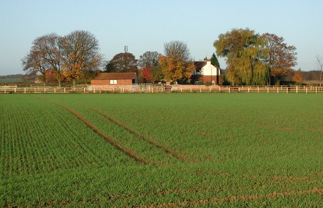
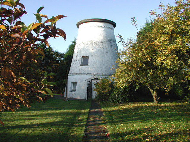
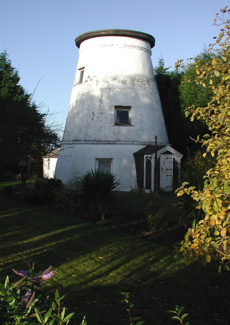
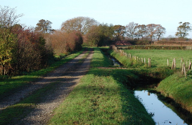
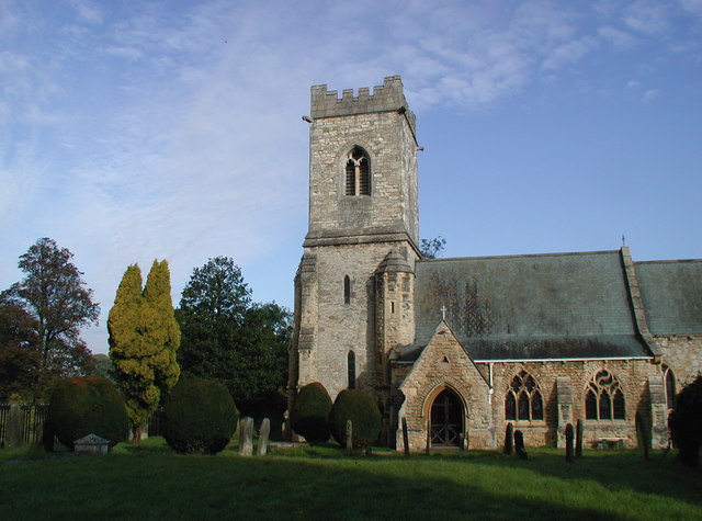
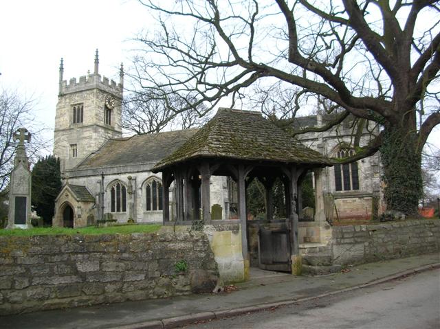
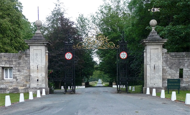
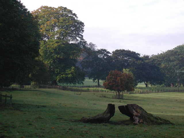
Hall Garth Images
Images are sourced within 2km of 53.854016/-1.2142077 or Grid Reference SE5140. Thanks to Geograph Open Source API. All images are credited.

Hall Garth is located at Grid Ref: SE5140 (Lat: 53.854016, Lng: -1.2142077)
Division: West Riding
Administrative County: North Yorkshire
District: Selby
Police Authority: North Yorkshire
What 3 Words
///cleanest.shack.flocking. Near Church Fenton, North Yorkshire
Nearby Locations
Related Wikis

Ulleskelf railway station
Ulleskelf railway station in Ulleskelf, North Yorkshire, England, is 8.75 miles (14 km) south of York. == History == The station opened on 29 May 1839...

Ulleskelf
Ulleskelf is a village and civil parish in the Selby District of North Yorkshire, England, four miles from Tadcaster on the River Wharfe. Its name comes...
Kirkby Wharfe
Kirkby Wharfe is a village 1.9 miles (3 km) south of Tadcaster, in North Yorkshire, England. The village is in the civil parish of Kirkby Wharfe with North...
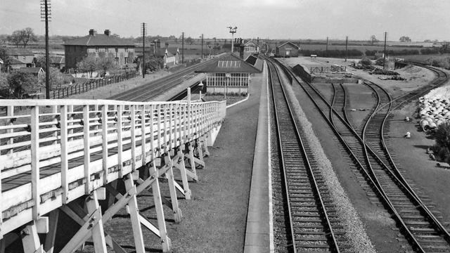
Bolton Percy railway station
Bolton Percy railway station served the village of Bolton Percy, North Yorkshire, England from 1839 to 1965 on the York and North Midland Railway. ��2...

All Saints' Church, Bolton Percy
All Saints' Church is the parish church of Bolton Percy, in North Yorkshire in England. There was a church in Bolton Percy at the time of the Domesday...
Bolton Percy
Bolton Percy is a village and civil parish in the Selby District of North Yorkshire, England. According to the 2001 census it had a population of 305...
Grimston Park
Grimston Park is a grade II* listed Georgian country house in Grimston, North Yorkshire, England, some 1.7 miles (3 km) south of Tadcaster. Since being...
Grimston, Selby
Grimston is a civil parish about 8 miles from York, in North Yorkshire, England. In 2001 the parish had a population of 59. The parish touches Bolton Percy...
Nearby Amenities
Located within 500m of 53.854016,-1.2142077Have you been to Hall Garth?
Leave your review of Hall Garth below (or comments, questions and feedback).