Castle Hill
Hill, Mountain in Nottinghamshire Ashfield
England
Castle Hill
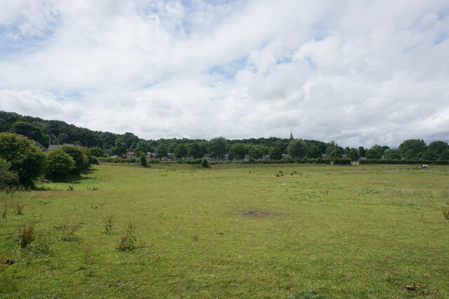
Castle Hill is a prominent landmark located in the county of Nottinghamshire, England. Situated near the town of Newark-on-Trent, it is a natural hill that stands at an elevation of approximately 128 meters above sea level. The hill has a distinct conical shape, making it easily recognizable in the surrounding landscape.
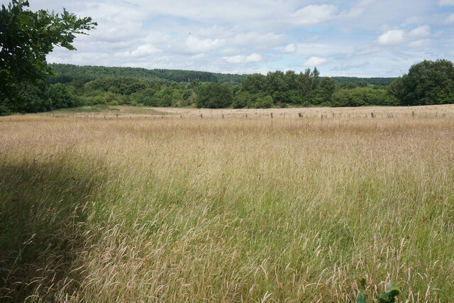
Covering an area of approximately 2.7 hectares, Castle Hill is surrounded by lush green fields, offering picturesque views of the countryside. The hill itself is predominantly composed of sandstone, providing a solid foundation for its prominent position.
The name "Castle Hill" originates from its historical significance. In the past, a castle stood on the summit of the hill, serving as a defensive structure during medieval times. Unfortunately, no remnants of the castle remain today, but its historical significance has left a lasting legacy.
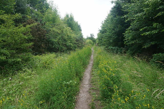
The hill is a popular destination for locals and tourists alike, with many visitors drawn to its natural beauty and historical importance. The area surrounding Castle Hill offers several walking trails and paths, allowing visitors to explore the countryside and enjoy the stunning views.
Additionally, Castle Hill is home to a diverse range of flora and fauna, making it an attractive spot for nature enthusiasts. The hill provides a habitat for various species of plants and wildlife, adding to its ecological significance.
Overall, Castle Hill in Nottinghamshire is a captivating landmark that combines natural beauty with historical importance. It serves as a testament to the region's rich heritage and offers visitors an opportunity to appreciate the stunning landscapes of Nottinghamshire.
If you have any feedback on the listing, please let us know in the comments section below.
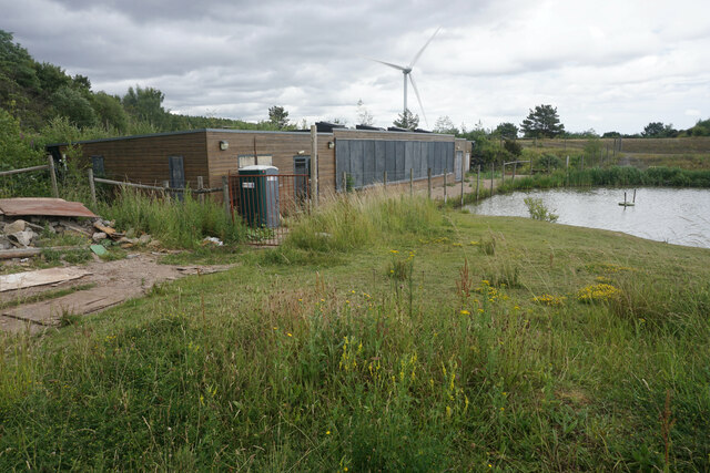
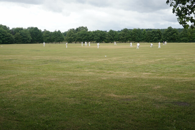
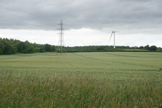
Castle Hill Images
Images are sourced within 2km of 53.065251/-1.2382885 or Grid Reference SK5152. Thanks to Geograph Open Source API. All images are credited.


Castle Hill is located at Grid Ref: SK5152 (Lat: 53.065251, Lng: -1.2382885)
Administrative County: Nottinghamshire
District: Ashfield
Police Authority: Nottinghamshire
What 3 Words
///clearcut.foremost.missions. Near Kirkby in Ashfield, Nottinghamshire
Nearby Locations
Related Wikis
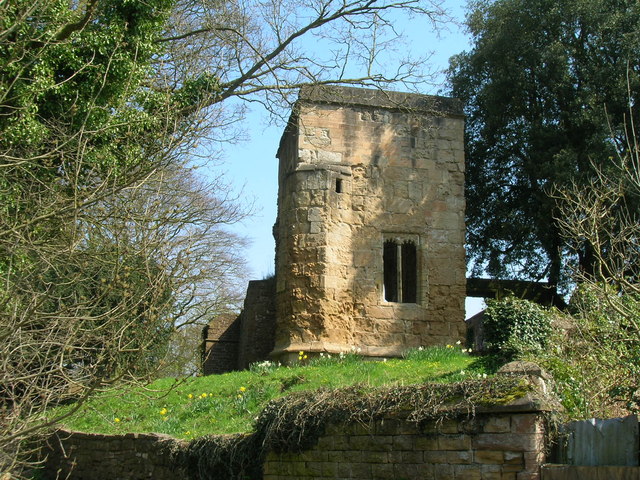
Annesley Old Church
Annesley Old Church or the Church of All Saints, Annesley Park, is a disused church in a ruinous condition which stands on a mound near to Annesley Hall...
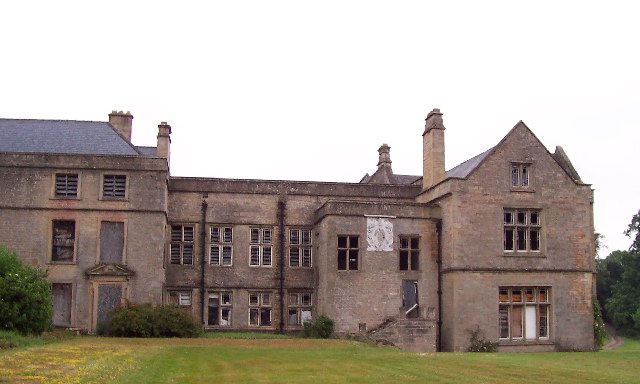
Annesley Hall, Nottinghamshire
Annesley Hall is a Grade II listed country house near Annesley in Nottinghamshire, England and the ancestral home of the Chaworth-Musters family. The 13th...
Newstead, Nottinghamshire
Newstead is a village and civil parish in Nottinghamshire, England in the borough of Gedling. It is situated between the city of Nottingham and the towns...
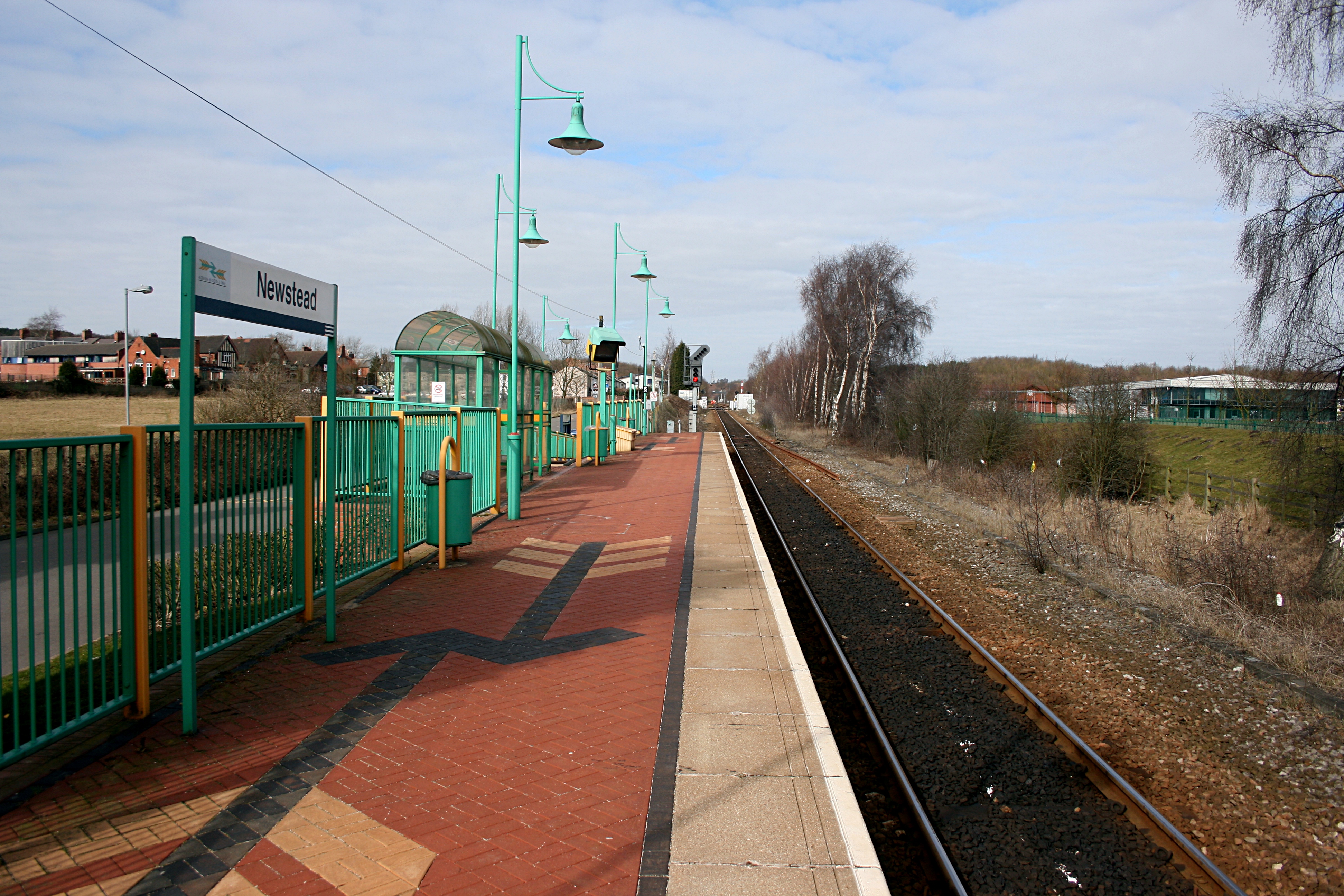
Newstead railway station
Newstead railway station serves the village of Newstead in Nottinghamshire, England. Newstead was the original terminus of the Robin Hood Line when it...
Nearby Amenities
Located within 500m of 53.065251,-1.2382885Have you been to Castle Hill?
Leave your review of Castle Hill below (or comments, questions and feedback).