Annesley Forest
Wood, Forest in Nottinghamshire Ashfield
England
Annesley Forest
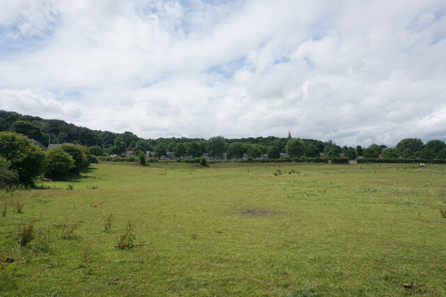
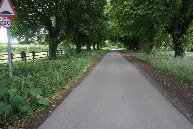
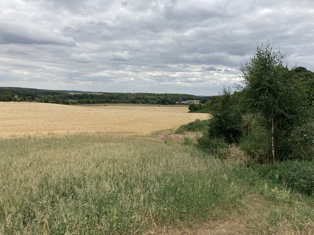
Annesley Forest, located in Nottinghamshire, England, is a sprawling woodland spanning approximately 2,000 acres. With its lush greenery and diverse wildlife, it offers a serene and picturesque escape from the hustle and bustle of urban life. The forest is situated on the outskirts of Annesley village, making it easily accessible to both locals and visitors.
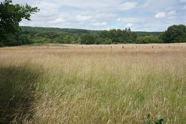
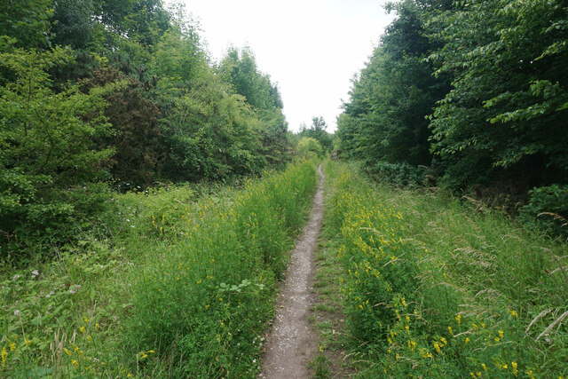
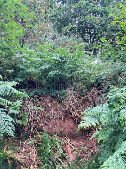
The forest is predominantly composed of deciduous trees, including oak, birch, and beech, which provide a rich and vibrant canopy throughout the year. The enchanting woodland floor is adorned with an array of wildflowers and ferns, creating a magical setting for nature enthusiasts and photographers alike.
Annesley Forest is home to a wide variety of birds, mammals, and insects, making it an ideal spot for birdwatching and wildlife spotting. Visitors may catch a glimpse of birds such as woodpeckers, nuthatches, and tawny owls, while lucky observers might even spot deer, foxes, or badgers roaming freely.
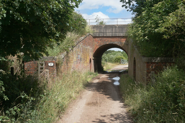
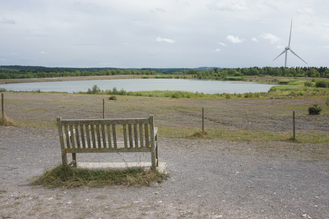
The forest offers an extensive network of trails and paths, allowing visitors to explore its beauty on foot or by bicycle. These trails cater to all levels of fitness and offer a range of lengths, ensuring there is something for everyone. Additionally, the forest boasts several well-maintained picnic areas, providing the perfect opportunity for a leisurely lunch surrounded by nature.
Annesley Forest holds significant historical importance, as it was previously part of the Sherwood Forest, famously associated with the legendary figure Robin Hood. This historical connection adds a touch of intrigue and allure to the forest, attracting visitors from far and wide.
In conclusion, Annesley Forest in Nottinghamshire offers a delightful and tranquil woodland experience, with its breathtaking scenery, abundant wildlife, and rich history. It is an idyllic destination for nature lovers and those seeking an escape into the beauty of the natural world.
If you have any feedback on the listing, please let us know in the comments section below.
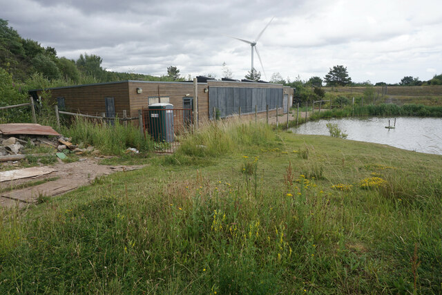
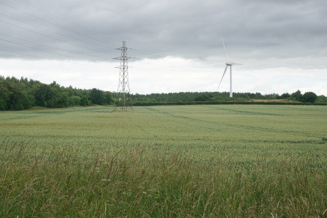
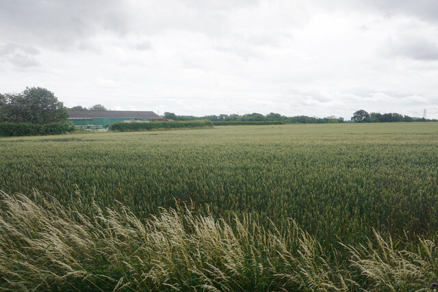
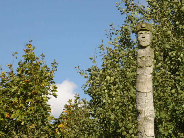
Annesley Forest Images
Images are sourced within 2km of 53.070183/-1.2363508 or Grid Reference SK5152. Thanks to Geograph Open Source API. All images are credited.


Annesley Forest is located at Grid Ref: SK5152 (Lat: 53.070183, Lng: -1.2363508)
Administrative County: Nottinghamshire
District: Ashfield
Police Authority: Nottinghamshire
What 3 Words
///hands.profited.disgraced. Near Kirkby in Ashfield, Nottinghamshire
Nearby Locations
Related Wikis

All Saints' Church, Annesley
All Saints' Church, Annesley is a parish church in the Church of England in Annesley, Nottinghamshire. The church is Grade II* listed by the Department...
Newstead, Nottinghamshire
Newstead is a village and civil parish in Nottinghamshire, England in the borough of Gedling. It is situated between the city of Nottingham and the towns...
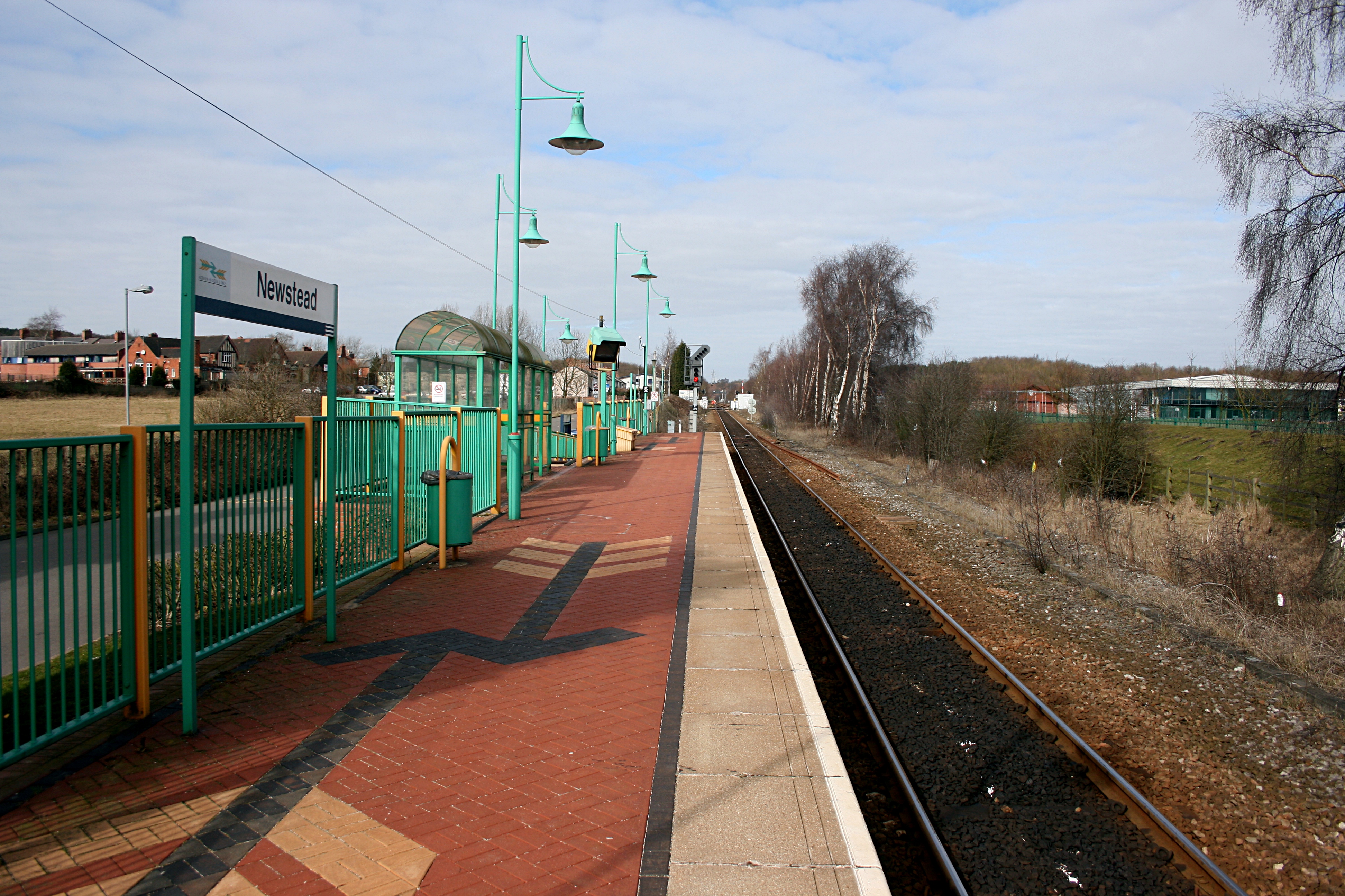
Newstead railway station
Newstead railway station serves the village of Newstead in Nottinghamshire, England. Newstead was the original terminus of the Robin Hood Line when it...

Annesley railway station
Annesley railway station was a station in Annesley, Nottinghamshire. It was opened in 1874, to serve the mining village of Annesley which had grown following...
Nearby Amenities
Located within 500m of 53.070183,-1.2363508Have you been to Annesley Forest?
Leave your review of Annesley Forest below (or comments, questions and feedback).