Annesley Park
Downs, Moorland in Nottinghamshire Ashfield
England
Annesley Park
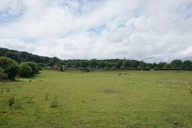
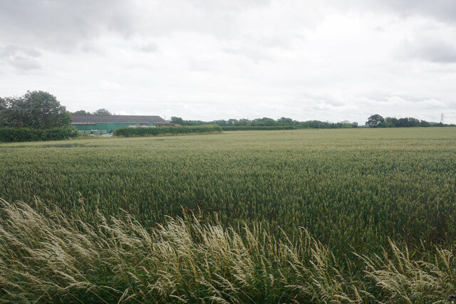
Annesley Park is a picturesque area located in Nottinghamshire, England. Situated in the district of Ashfield, it encompasses a mix of downs and moorland landscapes, offering a diverse range of natural beauty to its visitors.
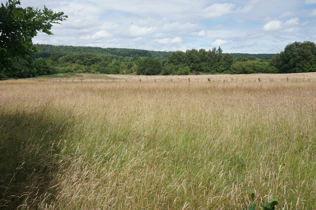
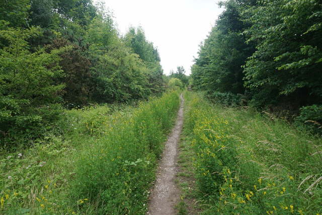
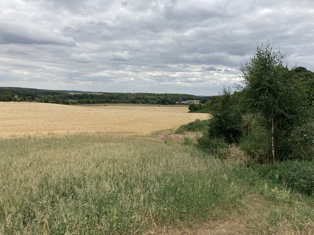
The park is known for its stunning vistas, with rolling downs stretching across the horizon and moorland areas providing a unique and rugged charm. The downs are characterized by their gently sloping hills, covered in lush green grass and scattered with wildflowers during the summer months. The moorland, on the other hand, offers a more rugged terrain, with heather-covered hills and rocky outcrops dotting the landscape.
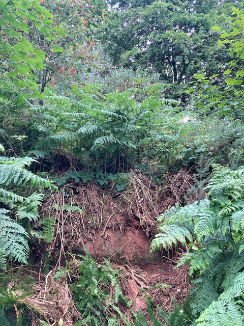
The park is a haven for nature enthusiasts, with a variety of flora and fauna to discover. Visitors can spot a range of bird species, including kestrels, buzzards, and curlews, as well as small mammals like rabbits and voles. The park also boasts a number of rare plant species, making it a popular destination for botany enthusiasts.
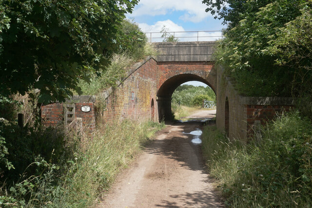
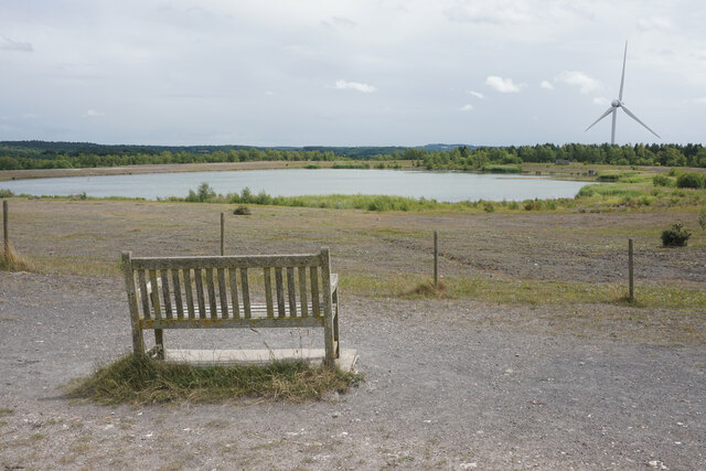
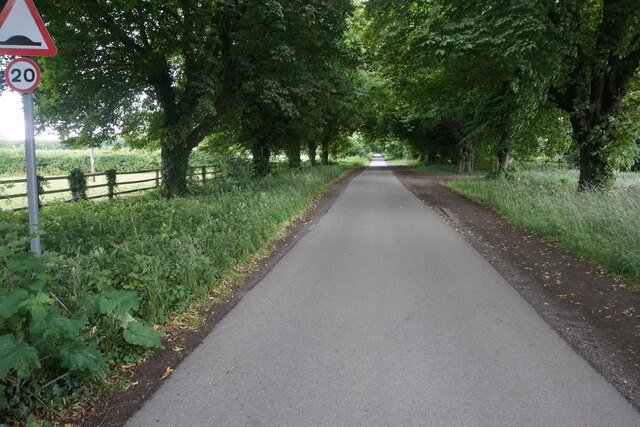
In addition to its natural beauty, Annesley Park also offers a range of recreational activities for visitors. There are numerous walking trails that wind through the downs and moorland, allowing visitors to explore the area at their own pace. The park also has designated picnic areas, perfect for enjoying a leisurely lunch while taking in the stunning views.
Overall, Annesley Park is a hidden gem in Nottinghamshire, offering a serene and unspoiled natural environment for those seeking a peaceful retreat amidst the beauty of downs and moorland landscapes.
If you have any feedback on the listing, please let us know in the comments section below.
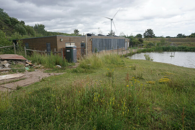
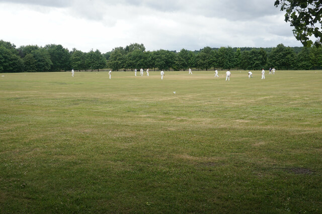
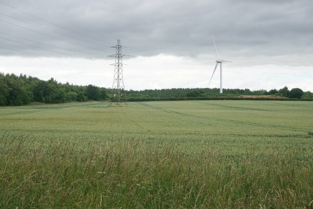
Annesley Park Images
Images are sourced within 2km of 53.067207/-1.2362691 or Grid Reference SK5152. Thanks to Geograph Open Source API. All images are credited.


Annesley Park is located at Grid Ref: SK5152 (Lat: 53.067207, Lng: -1.2362691)
Administrative County: Nottinghamshire
District: Ashfield
Police Authority: Nottinghamshire
What 3 Words
///deposits.fled.stint. Near Kirkby in Ashfield, Nottinghamshire
Nearby Locations
Related Wikis
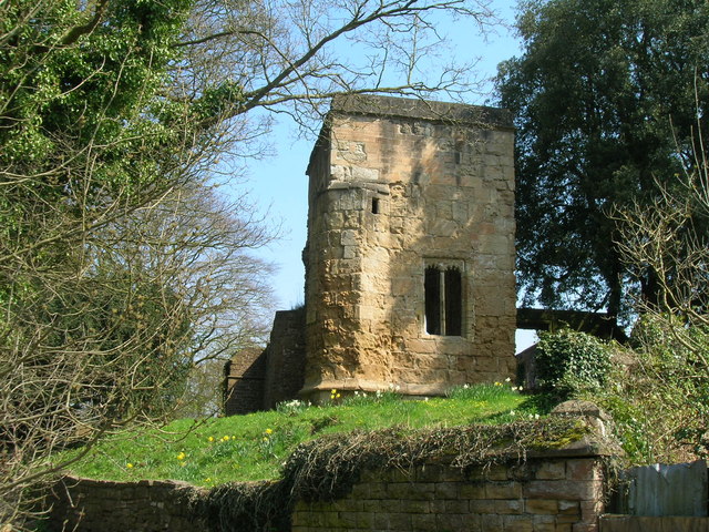
Annesley Old Church
Annesley Old Church or the Church of All Saints, Annesley Park, is a disused church in a ruinous condition which stands on a mound near to Annesley Hall...

Annesley Hall, Nottinghamshire
Annesley Hall is a Grade II listed country house near Annesley in Nottinghamshire, England and the ancestral home of the Chaworth-Musters family. The 13th...
Newstead, Nottinghamshire
Newstead is a village and civil parish in Nottinghamshire, England in the borough of Gedling. It is situated between the city of Nottingham and the towns...
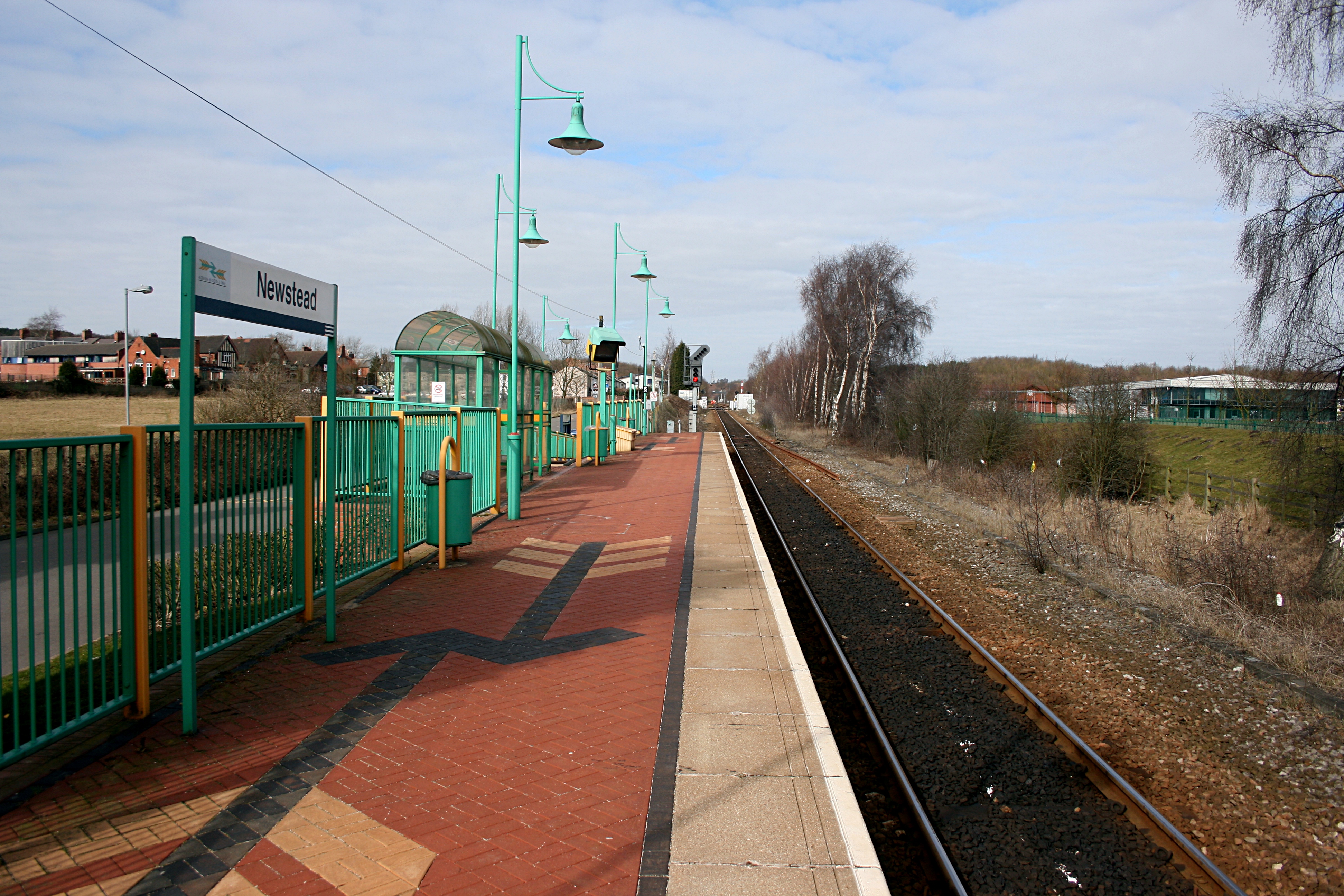
Newstead railway station
Newstead railway station serves the village of Newstead in Nottinghamshire, England. Newstead was the original terminus of the Robin Hood Line when it...
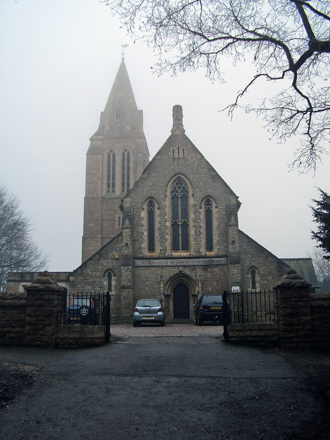
All Saints' Church, Annesley
All Saints' Church, Annesley is a parish church in the Church of England in Annesley, Nottinghamshire. The church is Grade II* listed by the Department...

Newstead and Annesley railway station
Newstead and Annesley railway station was a station on the Great Northern Railway's Nottingham to Shirebrook line. == History == == Present day == No trace...

Annesley railway station
Annesley railway station was a station in Annesley, Nottinghamshire. It was opened in 1874, to serve the mining village of Annesley which had grown following...
Annesley South Junction Halt railway station
Annesley South Junction Halt is a former halt on the Great Central Railway on the section between Nottingham Victoria and Sheffield Victoria. The halt...
Nearby Amenities
Located within 500m of 53.067207,-1.2362691Have you been to Annesley Park?
Leave your review of Annesley Park below (or comments, questions and feedback).