Newstead
Settlement in Nottinghamshire Gedling
England
Newstead
Newstead is a village located in the county of Nottinghamshire, England. Situated approximately 14 kilometers north of Nottingham city center, it is nestled in the picturesque Sherwood Forest. The village is known for its historic significance and natural beauty, attracting visitors from near and far.
One of the main attractions in Newstead is Newstead Abbey, a former Augustinian priory turned stately home. Built in the 12th century, the abbey was home to the renowned poet Lord Byron during the early 19th century. The stunning architecture and well-preserved gardens make it a popular tourist destination and a hub for literary enthusiasts.
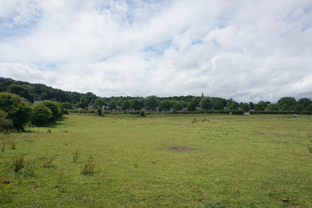
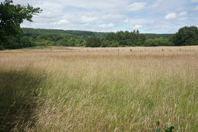
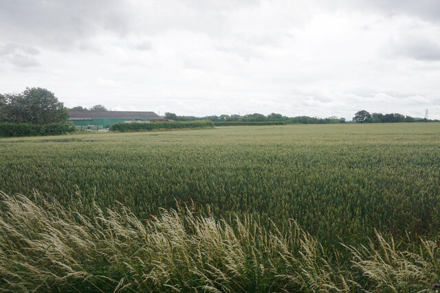
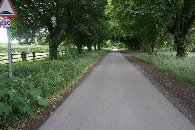
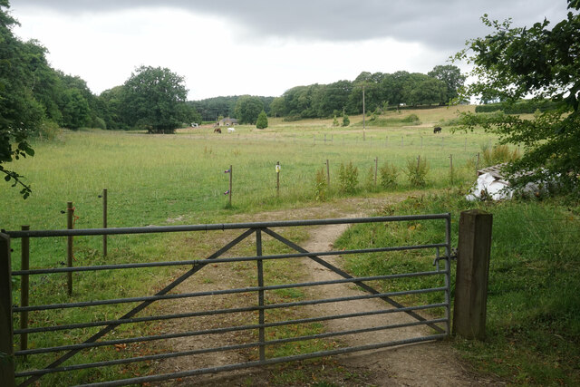
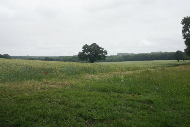
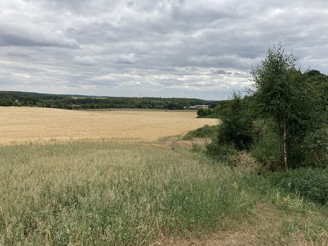
Surrounded by lush greenery, Newstead offers ample opportunities for outdoor activities. The nearby Sherwood Forest is a designated country park, known for its ancient oak trees and diverse wildlife. Visitors can explore the forest on foot or by bike, following the numerous trails that crisscross the area.
The village itself boasts a charming atmosphere, with its traditional cottages and local shops. The local community is close-knit, organizing regular events and festivals throughout the year. The annual Newstead Abbey Dash, a charity run, attracts participants from all age groups and fitness levels.
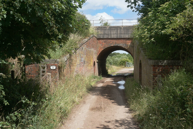
Newstead is well-connected to Nottingham and other nearby towns via a reliable transportation network. It offers a peaceful and idyllic setting, making it an ideal destination for those seeking a break from the hustle and bustle of city life. Whether you are a history enthusiast, nature lover, or simply looking for a tranquil retreat, Newstead has something to offer everyone.
If you have any feedback on the listing, please let us know in the comments section below.
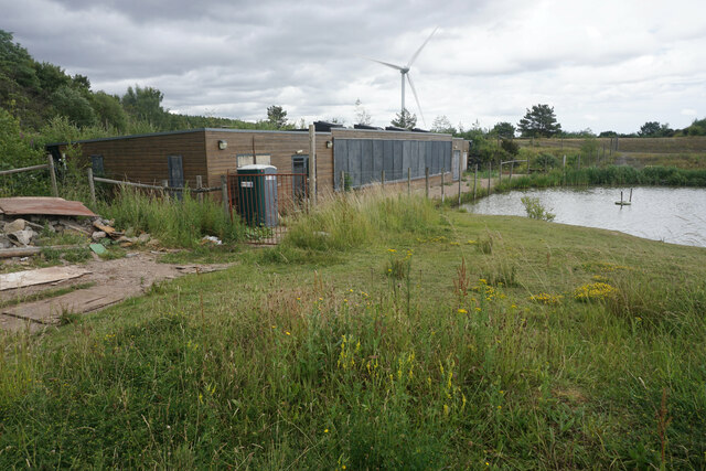
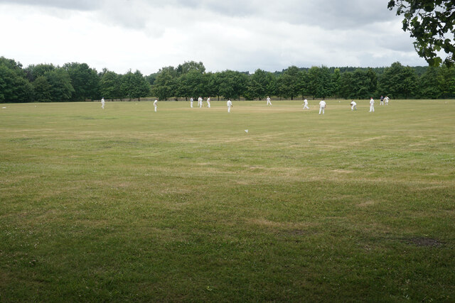
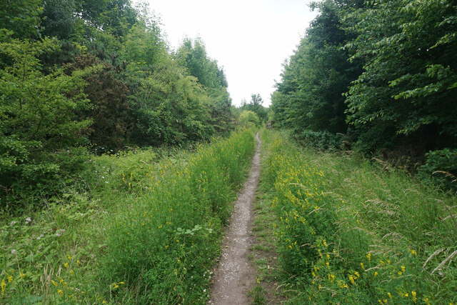
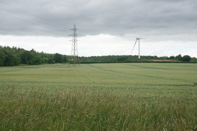
Newstead Images
Images are sourced within 2km of 53.071114/-1.226006 or Grid Reference SK5152. Thanks to Geograph Open Source API. All images are credited.


Newstead is located at Grid Ref: SK5152 (Lat: 53.071114, Lng: -1.226006)
Administrative County: Nottinghamshire
District: Gedling
Police Authority: Nottinghamshire
What 3 Words
///sport.adopters.isolating. Near Kirkby in Ashfield, Nottinghamshire
Nearby Locations
Related Wikis
Newstead, Nottinghamshire
Newstead is a village and civil parish in Nottinghamshire, England in the borough of Gedling. It is situated between the city of Nottingham and the towns...
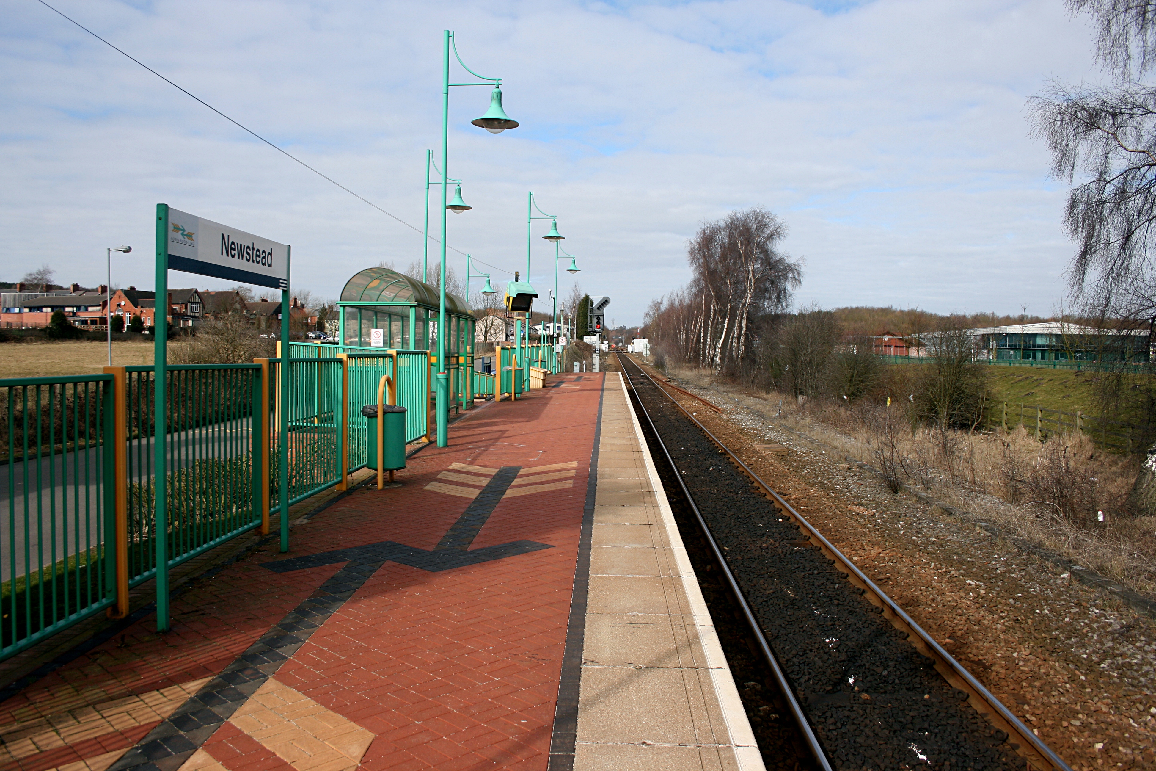
Newstead railway station
Newstead railway station serves the village of Newstead in Nottinghamshire, England. Newstead was the original terminus of the Robin Hood Line when it...

Newstead and Annesley railway station
Newstead and Annesley railway station was a station on the Great Northern Railway's Nottingham to Shirebrook line. == History == == Present day == No trace...

Annesley railway station
Annesley railway station was a station in Annesley, Nottinghamshire. It was opened in 1874, to serve the mining village of Annesley which had grown following...
Nearby Amenities
Located within 500m of 53.071114,-1.226006Have you been to Newstead?
Leave your review of Newstead below (or comments, questions and feedback).