New Mill Field

Downs, Moorland in Yorkshire

England

New Mill Field

Semi-detached houses on Station Road, Dunscroft
Semi-detached houses on Station Road, Dunscroft Credit: Neil Theasby

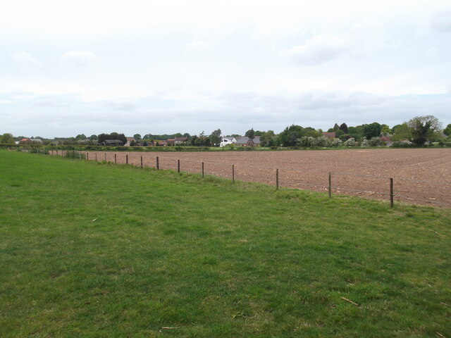
New Mill Field is a picturesque area located in the heart of Yorkshire, encompassing both the Downs and Moorland landscapes. Situated in the northern region of England, this region is known for its undulating hills, vast open spaces, and breathtaking natural beauty.

The Downs section of New Mill Field offers visitors a unique experience, with its rolling hills and expansive views. The landscape is characterized by lush green meadows, dotted with grazing sheep and cattle. The gentle slopes of the Downs make it an ideal spot for leisurely walks and picnics, offering a peaceful and tranquil atmosphere for visitors to enjoy.

On the other hand, the Moorland section of New Mill Field showcases a more rugged and wild landscape. Here, visitors can witness the dramatic beauty of heather-covered hills, interspersed with rocky outcrops and glistening streams. The Moorland is a haven for wildlife, with various species of birds and small mammals thriving in this natural habitat.

Both the Downs and Moorland sections of New Mill Field are popular among outdoor enthusiasts and nature lovers. Hiking and cycling trails crisscross the area, offering visitors the opportunity to explore the diverse flora and fauna that call this region home. Additionally, the area is also home to several nature reserves, providing protection for rare and endangered species.

Overall, New Mill Field in Yorkshire is a captivating destination, offering a combination of serene Downs and rugged Moorland landscapes. Its natural beauty and diverse ecosystem make it a must-visit location for those seeking to immerse themselves in the stunning English countryside.

If you have any feedback on the listing, please let us know in the comments section below.

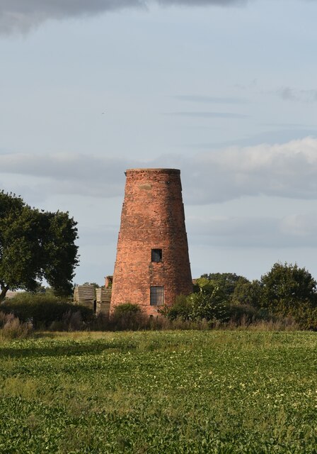
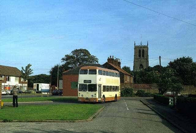
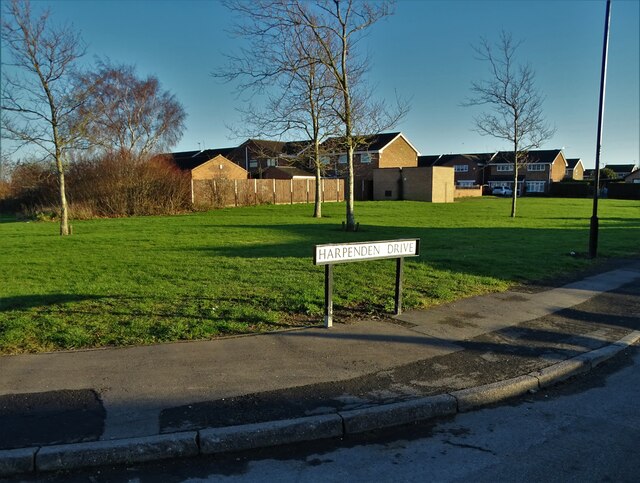
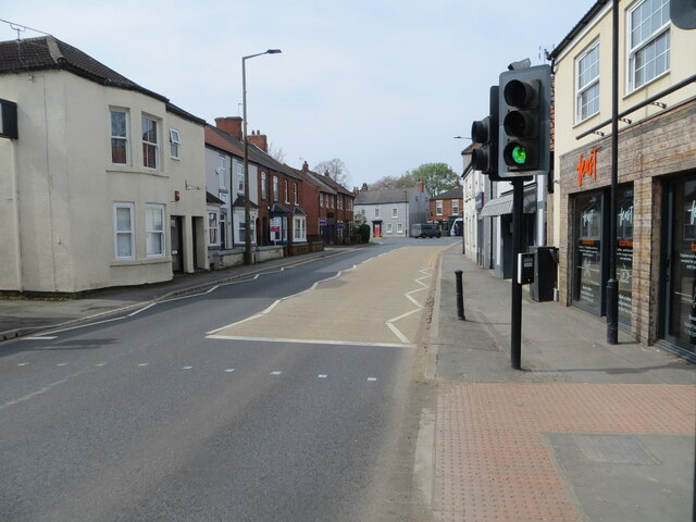
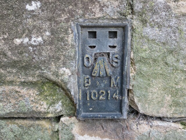
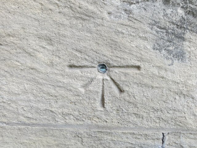
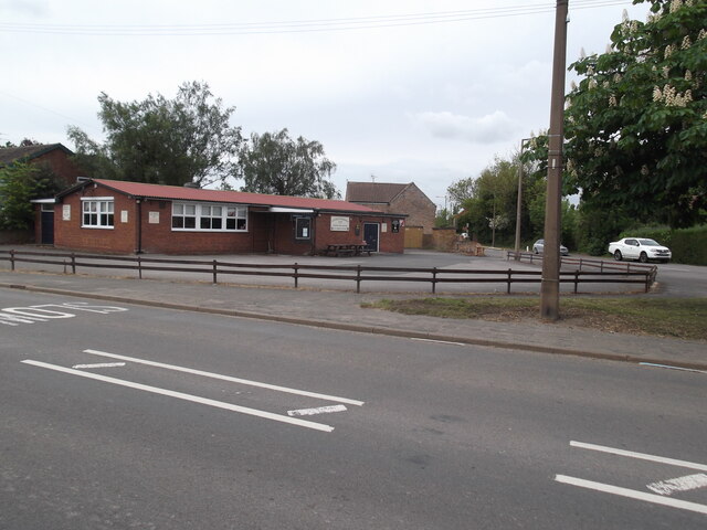
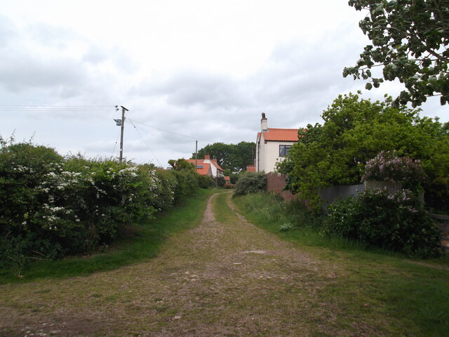
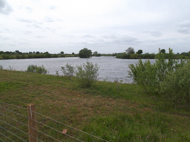
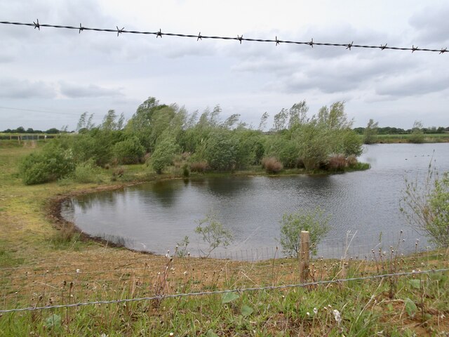
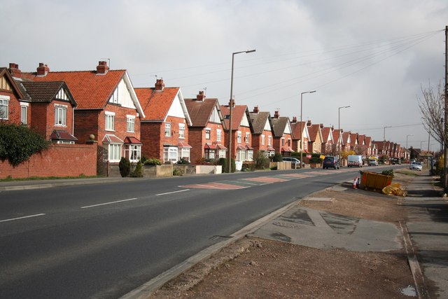
New Mill Field Images

Images are sourced within 2km of 53.572373/-0.99740163 or Grid Reference SE6608. Thanks to Geograph Open Source API. All images are credited.

Semi-detached houses on Station Road, Dunscroft
Lings Windmill, Hatfield, Doncaster Lings Windmill is a 19th century tower mill on the edge of Hatfield village. It has three floors.
It was listed by English Heritage in 1987 at Grade II.
Lings Windmill, Hatfield, Doncaster
Lings Windmill is a 19th century tower mill on the edge of Hatfield village. It has three floors. It was listed by English Heritage in 1987 at Grade II.
Hatfield bus turnround – 1978 Compare with the same location in 2010 <a title="https://www.geograph.org.uk/photo/1709151" href="https://www.geograph.org.uk/photo/1709151">Link</a> .

The bus is South Yorkshire PTE 1209, formerly Doncaster Corporation 209, a Daimler Fleetline new in 1967, operating on the service from Doncaster to Dunscroft which the PTE, as successor to Doncaster Corporation, shared with a number of small independent operators.

This is one of a series of views featuring buses in the 60s, 70s, and 80s. <a title="https://www.geograph.org.uk/search.php?i=137652761" href="https://www.geograph.org.uk/search.php?i=137652761">Link</a>
Hatfield bus turnround – 1978
Compare with the same location in 2010 Link . The bus is South Yorkshire PTE 1209, formerly Doncaster Corporation 209, a Daimler Fleetline new in 1967, operating on the service from Doncaster to Dunscroft which the PTE, as successor to Doncaster Corporation, shared with a number of small independent operators. This is one of a series of views featuring buses in the 60s, 70s, and 80s. Link
Housing to the west of Dunscroft
Harpenden Drive, Dunscroft
Sheep Dip Lane, Dunscroft
"The Broadway" public house, Dunscroft
Dunscroft Community Centre On Lawrence Road
Dunscroft Community Centre
On Lawrence Road
Park Road, Dunscroft
Businesses on Broadway, Dunscroft A pizza takeaway, a barber's and a fish and chip shop or "chippy" with the moon above - top left of centre.
Businesses on Broadway, Dunscroft
A pizza takeaway, a barber's and a fish and chip shop or "chippy" with the moon above - top left of centre.
Hugh Street (A18), Hatfield Looking south-westward.
Hugh Street (A18), Hatfield
Looking south-westward.
Ordnance Survey Flush Bracket 10214 This bracket can be found on the wall St Lawrence's Church Hartfield.
The recorded details give a height of 7.5551 metres above sea level.
For more detail see : <span class="nowrap"><a title="https://www.bench-marks.org.uk/bm21869" rel="nofollow ugc noopener" href="https://www.bench-marks.org.uk/bm21869">Link</a><img style="margin-left:2px;" alt="External link" title="External link - shift click to open in new window" src="https://s1.geograph.org.uk/img/external.png" width="10" height="10"/></span>
Ordnance Survey Flush Bracket 10214
This bracket can be found on the wall St Lawrence's Church Hartfield. The recorded details give a height of 7.5551 metres above sea level. For more detail see : LinkExternal link
Ordnance Survey Cut Mark with Bolt This mark and bolt can be found on the wall of St Lawrence's Church, Hatfield.
The recorded details give a height of 9.2354 metres above sea level.
For more detail see : <span class="nowrap"><a title="https://www.bench-marks.org.uk/bm36309" rel="nofollow ugc noopener" href="https://www.bench-marks.org.uk/bm36309">Link</a><img style="margin-left:2px;" alt="External link" title="External link - shift click to open in new window" src="https://s1.geograph.org.uk/img/external.png" width="10" height="10"/></span>
Ordnance Survey Cut Mark with Bolt
This mark and bolt can be found on the wall of St Lawrence's Church, Hatfield. The recorded details give a height of 9.2354 metres above sea level. For more detail see : LinkExternal link
Hatfield Woodhouse Club
West End from Hale Hill Lane
Hale Hill Farm
Hale Hill Farm
The lake by Hale Hill Lane
The lake end by Hale Hill Lane
Show me another place!

New Mill Field is located at Grid Ref: SE6608 (Lat: 53.572373, Lng: -0.99740163)

Division: West Riding

Unitary Authority: Doncaster

Police Authority: South Yorkshire

What 3 Words

///outs.libraries.smoothly. Near Hatfield, South Yorkshire

Related Wikis

Hatfield Manor House

Hatfield Manor House is a remodelled 18th century Grade-I listed manor house in the town of Hatfield near Doncaster, South Yorkshire, which is based on...

St Lawrence's Church, Hatfield

St Lawrence's Church is the parish church of Hatfield, South Yorkshire, which lies north-east of Doncaster in England. The oldest parts of the church date...

Ash Hill Academy

Ash Hill Academy (formerly Hatfield Visual Arts College) is a coeducational secondary school with academy status, at Hatfield, South Yorkshire, England...

Hatfield, South Yorkshire

Hatfield is a town and civil parish in the City of Doncaster in South Yorkshire, England. It had a population of 17,236 at the 2011 Census. The town is...

Dunsville

Dunsville is a village in the Metropolitan Borough of Doncaster, South Yorkshire, England, in the civil parish of Hatfield. It lies on the A18 road between...

Hatfield Main F.C.

Hatfield Main Football Club was a football club originally based in Stainforth and then Dunscroft, South Yorkshire, England. They were members of the Doncaster...

HM Prison Hatfield

HM Prison Hatfield (formerly HMP & YOI Moorland Open) is a Category D men's prison and Young Offenders Institution, located near Hatfield Woodhouse in...

Hatfield & Stainforth railway station

Hatfield and Stainforth railway station serves the towns of Hatfield and Stainforth in South Yorkshire, England. It is located 6+3⁄4 miles (10.9 km) north...

Nearby Amenities

Located within 500m of 53.572373,-0.99740163
Bus Stop
Manor Road/Parkways
Alt Name: Manor Road/Parkways
Naptan AltCommonName: Manor Road/Parkways
Naptan AtcoCode: 370045269
Naptan Bearing: W
Naptan CommonName: Manor Road/Parkways
Naptan Indicator: 45269
Naptan Landmark: 45269
Naptan PlusbusZoneRef: ROTHCEN
Naptan Street: Manor Road
Naptan Verified: no
Source: naptan_import
Lat/Long: 53.5740693/-1.0030649
Bus Stop
Manor Road/Ash Hill Road
Alt Name: Manor Road/Ash Hill Road
Naptan AltCommonName: Manor Road/Ash Hill Road
Naptan AtcoCode: 370045270
Naptan Bearing: E
Naptan CommonName: Manor Road/Ash Hill Road
Naptan Indicator: 45270
Naptan Landmark: Hatfields Public House
Naptan PlusbusZoneRef: ROTHCEN
Naptan Street: Manor Road
Naptan Verified: no
Source: naptan_import
Lat/Long: 53.5742366/-1.0037255
Bus Stop
Manor Road/Carr Side Lane
Naptan AtcoCode: 370045274
Naptan Bearing: N
Naptan CommonName: Manor Road/Carr Side Lane
Naptan Indicator: 45274
Naptan Landmark: Garage
Naptan PlusbusZoneRef: ROTHCEN
Naptan Street: Manor Road
Naptan Verified: no
Source: naptan_import
Lat/Long: 53.5757791/-1.0011368
Social Facility
Church View
Social Facility: group_home
Social Facility For: senior
Lat/Long: 53.5754397/-0.9998881
Social Facility
Manor View
Social Facility: group_home
Social Facility For: senior
Lat/Long: 53.5754141/-0.9988282
Generator Method: photovoltaic
Generator Output Electricity: yes
Generator Source: solar
Generator Type: solar_photovoltaic_panel
Location: roof
Power: generator
Lat/Long: 53.5734241/-1.0042191
Generator Method: photovoltaic
Generator Output Electricity: yes
Generator Source: solar
Generator Type: solar_photovoltaic_panel
Location: roof
Power: generator
Lat/Long: 53.574781/-1.0027948
Generator Method: photovoltaic
Generator Output Electricity: yes
Generator Source: solar
Generator Type: solar_photovoltaic_panel
Location: roof
Power: generator
Lat/Long: 53.5753193/-1.0029557
The data included in this document is from www.openstreetmap.org. The data is made available under ODbL.

Have you been to New Mill Field?

Leave your review of New Mill Field below (or comments, questions and feedback).