Mill Hill
Hill, Mountain in Yorkshire
England
Mill Hill

Mill Hill is a picturesque hill located in the county of Yorkshire, England. Situated in the southern part of the county, it is part of the larger region known as the Yorkshire Dales. With an elevation of approximately 300 meters (984 feet), Mill Hill is not classified as a mountain but rather a hill.
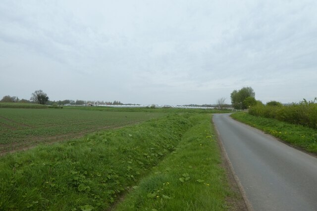
The hill is characterized by its rolling green slopes and breathtaking panoramic views of the surrounding countryside. It is covered in lush vegetation, including grasses, heather, and scattered trees. The landscape is dotted with stone walls, adding to its traditional charm.
Mill Hill is a popular destination for outdoor enthusiasts and nature lovers. It offers numerous walking trails and hiking routes, allowing visitors to explore the area's natural beauty. The hill is also home to a variety of wildlife, including birds, rabbits, and the occasional deer.
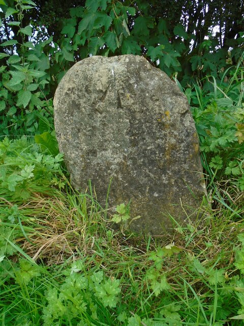
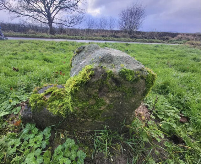
At the summit of Mill Hill, there is a stone marker indicating its name and elevation. From this vantage point, visitors can admire the stunning vistas of the Yorkshire Dales, with its patchwork fields and charming villages nestled in the valleys below.
The hill is easily accessible by car, with a parking area located at the base. There are also public transportation options available, including bus services that connect Mill Hill with nearby towns.
Overall, Mill Hill is a tranquil and idyllic spot in the heart of Yorkshire, offering visitors a chance to immerse themselves in the natural beauty of the region.
If you have any feedback on the listing, please let us know in the comments section below.
Mill Hill Images
Images are sourced within 2km of 53.764477/-0.60691974 or Grid Reference SE9130. Thanks to Geograph Open Source API. All images are credited.


Mill Hill is located at Grid Ref: SE9130 (Lat: 53.764477, Lng: -0.60691974)
Division: East Riding
Unitary Authority: East Riding of Yorkshire
Police Authority: Humberside
What 3 Words
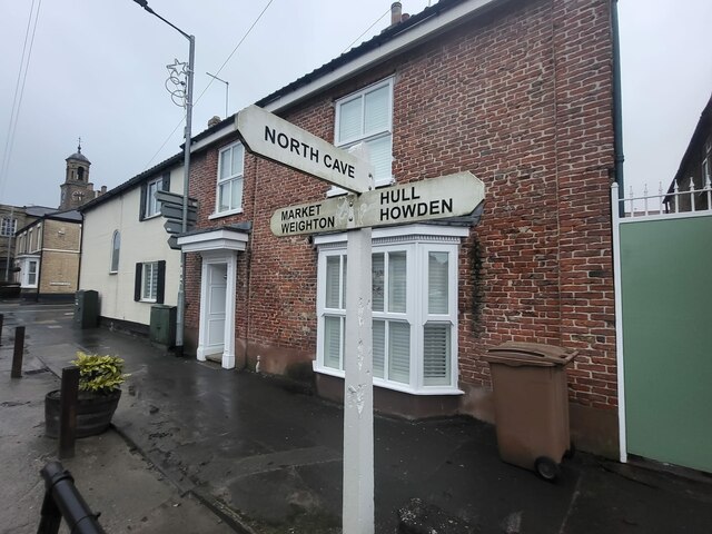
///paramedic.gadgets.roses. Near South Cave, East Yorkshire
Nearby Locations
Related Wikis
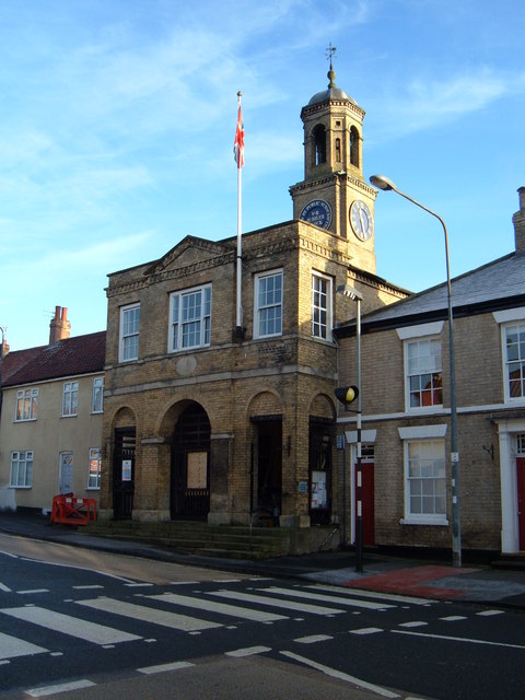
South Cave Town Hall
South Cave Town Hall is a municipal building in the Market Place, South Cave, East Riding of Yorkshire, England. The building, which is the meeting place...

South Cave
South Cave is a village and civil parish in the East Riding of Yorkshire, England. It is situated approximately 14 miles (23 km) to the west of Hull city...
Ellerker
Ellerker is a village and civil parish in the East Riding of Yorkshire, England. It is situated approximately 10 miles (16 km) west of Hull city centre...

Everthorpe
Everthorpe is a hamlet in the East Riding of Yorkshire, England. It is situated approximately 11 miles (18 km) west of Hull city centre and 10 miles...
Nearby Amenities
Located within 500m of 53.764477,-0.60691974Have you been to Mill Hill?
Leave your review of Mill Hill below (or comments, questions and feedback).