King's Firs
Downs, Moorland in Surrey Waverley
England
King's Firs
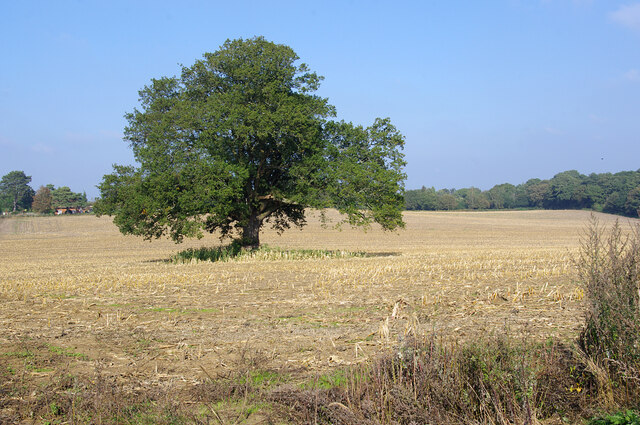
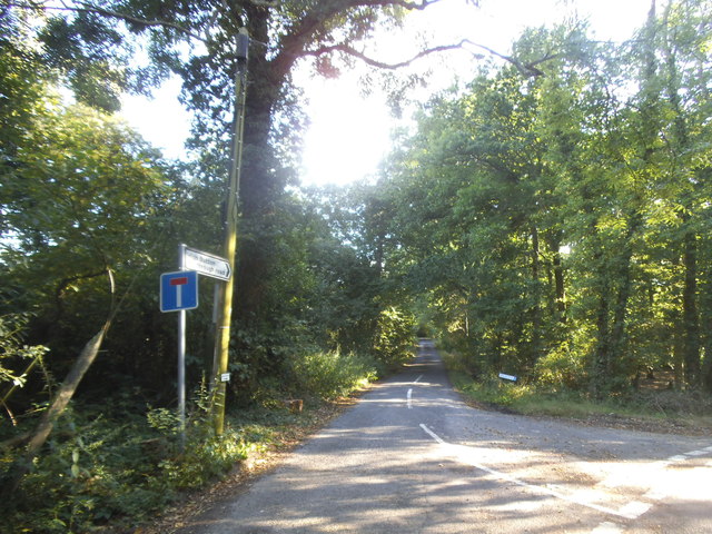
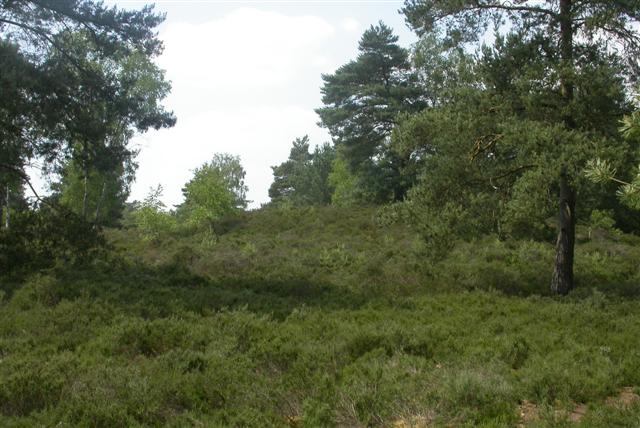
King's Firs is a picturesque area located in Surrey, England, encompassing the scenic landscapes of Downs and Moorland. Spread across a vast expanse, it offers visitors a unique blend of natural beauty and historical significance. The area is renowned for its lush greenery, rolling hills, and diverse array of flora and fauna.
Nestled within the Surrey Hills Area of Outstanding Natural Beauty, King's Firs boasts breathtaking views that captivate the senses. The Downs, characterized by gently sloping chalk hills, provide a serene backdrop for leisurely walks and outdoor activities. The tranquil Moorland, with its heather-covered expanses, offers a contrasting landscape that is equally enchanting.
Aside from its natural splendor, King's Firs is steeped in history. The area is dotted with ancient archaeological sites, including burial mounds and hill forts, dating back to the Bronze Age and Iron Age. These remnants offer a glimpse into the lives and customs of the early inhabitants of the region.
King's Firs is home to a rich variety of wildlife, with numerous species of birds, mammals, and insects. Nature enthusiasts can spot kestrels soaring in the sky, rabbits darting through the undergrowth, and butterflies fluttering from flower to flower.
Visitors to King's Firs can partake in numerous recreational activities, such as hiking, cycling, and horseback riding. The area is crisscrossed by a network of well-maintained trails, providing ample opportunities for exploration and adventure.
In summary, King's Firs in Surrey is a magnificent natural haven offering a blend of stunning landscapes, historical significance, and abundant wildlife. Whether seeking solace in nature or embarking on an outdoor adventure, this idyllic destination has something to offer to every visitor.
If you have any feedback on the listing, please let us know in the comments section below.
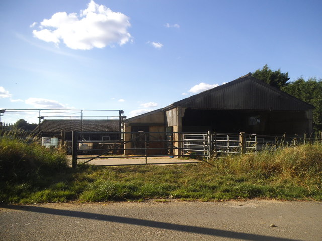
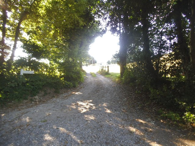
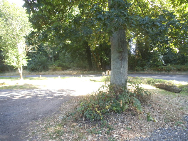
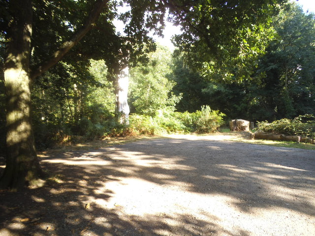
King's Firs Images
Images are sourced within 2km of 51.136402/-0.6872252 or Grid Reference SU9138. Thanks to Geograph Open Source API. All images are credited.


King's Firs is located at Grid Ref: SU9138 (Lat: 51.136402, Lng: -0.6872252)
Administrative County: Surrey
District: Waverley
Police Authority: Surrey
What 3 Words
///shelter.mixed.clockwork. Near Wormley, Surrey
Nearby Locations
Related Wikis

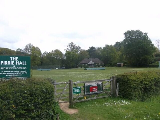
Brook, Surrey
Brook is a hamlet in the civil parish of Witley in the Waverley district in south-west Surrey. It is in the far west of Wormley, beyond Sandhills with...

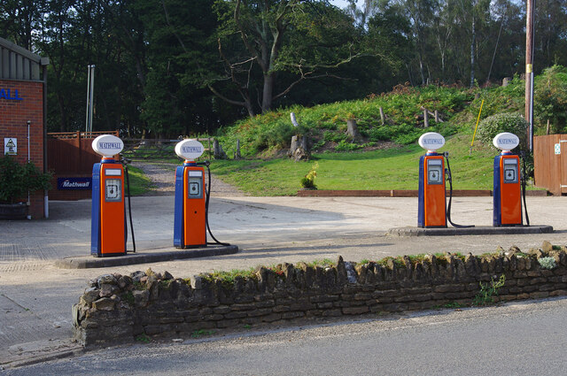
Brook Brick Pit
Brook Brick Pit is a 0.9-hectare (2.2-acre) geological Site of Special Scientific Interest west of Wormley Surrey. It is a Geological Conservation Review...
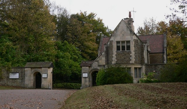
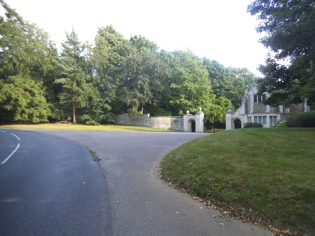
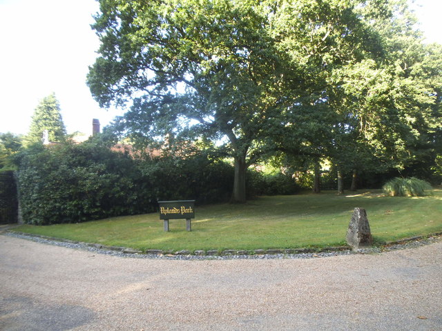
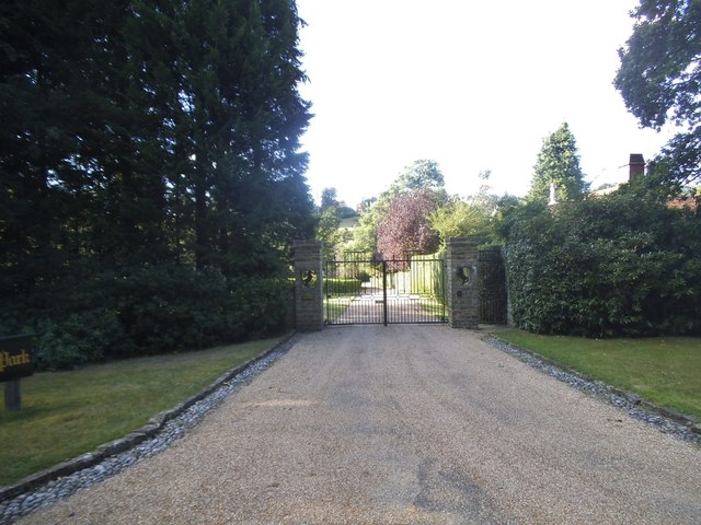
Witley Park
Witley Park, formerly known as Lea Park, is an estate dating from the 19th-century between Godalming and Haslemere, Surrey, England. Its landscaped grounds...
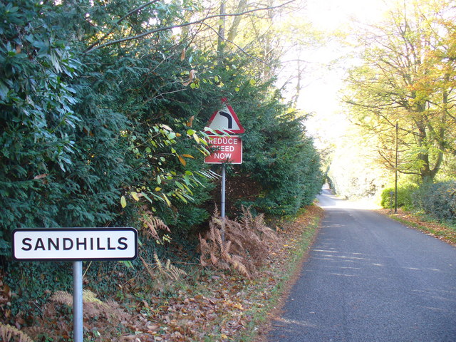
Sandhills, Surrey
Sandhills is a small hamlet located between the villages of Wormley and Brook in Surrey, UK. It is part of the Surrey Hills Area of Outstanding Beauty...

South West Surrey (UK Parliament constituency)
South West Surrey is a constituency represented in the House of Commons of the UK Parliament. Since 2005, the seat has been represented by Conservative...

Thursley
Thursley is a village and civil parish in southwest Surrey, west of the A3 between Milford and Hindhead. An associated hamlet is Bowlhead Green. To the...

Witley Camp
Witley Military Camp, often simplified to Camp Witley, was a temporary army camp set up on Witley Common, Surrey, England during both the First and Second...
Witley Common
Witley Common is an area of woodland and heath, close to Witley, Surrey, in the United Kingdom. It is part of a much larger Site of Special Scientific...
Nearby Amenities
Located within 500m of 51.136402,-0.6872252Have you been to King's Firs?
Leave your review of King's Firs below (or comments, questions and feedback).