Caythorpe Low Fields
Downs, Moorland in Lincolnshire South Kesteven
England
Caythorpe Low Fields

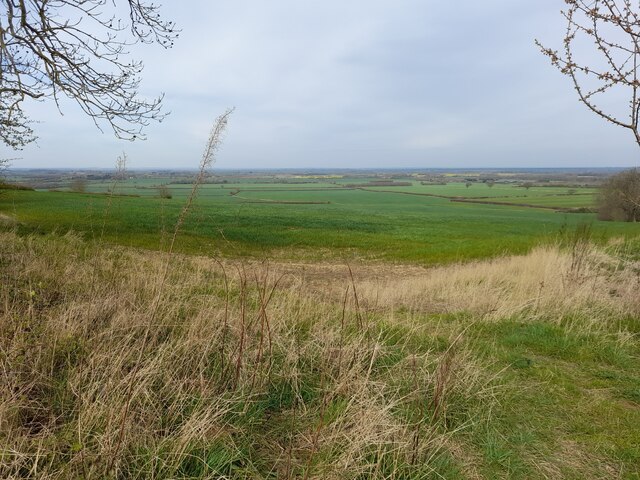
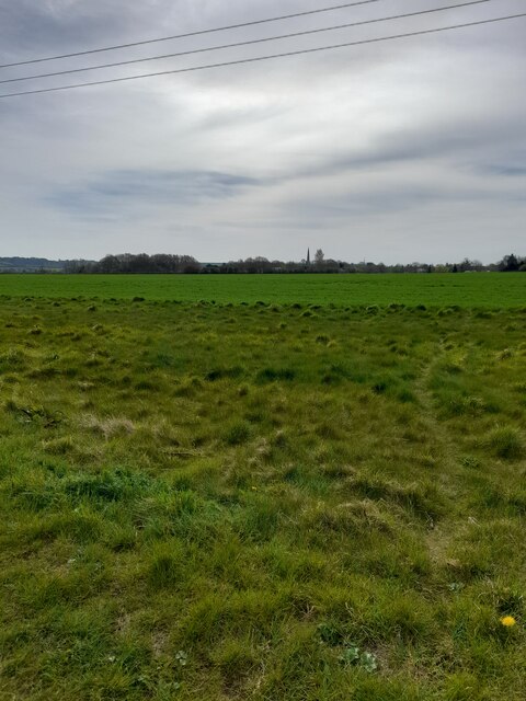
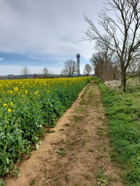
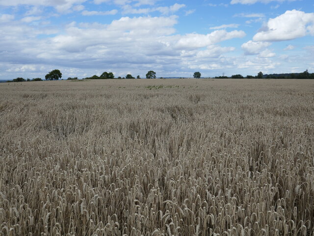
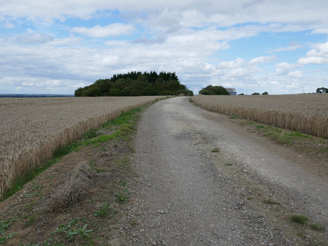
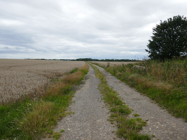
Caythorpe Low Fields is a picturesque area located in Lincolnshire, England. Spanning across a vast expanse, it is primarily known for its unique combination of downs and moorland landscapes. The area is characterized by rolling hills, open fields, and scattered woodlands, creating a diverse and captivating environment.
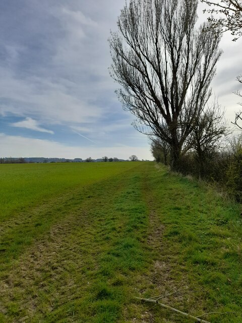
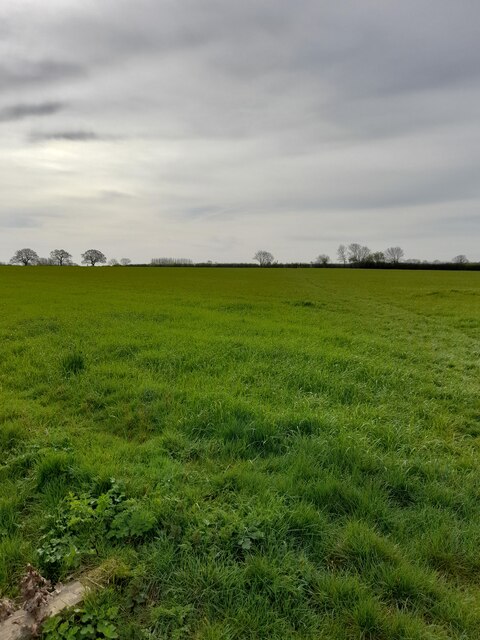
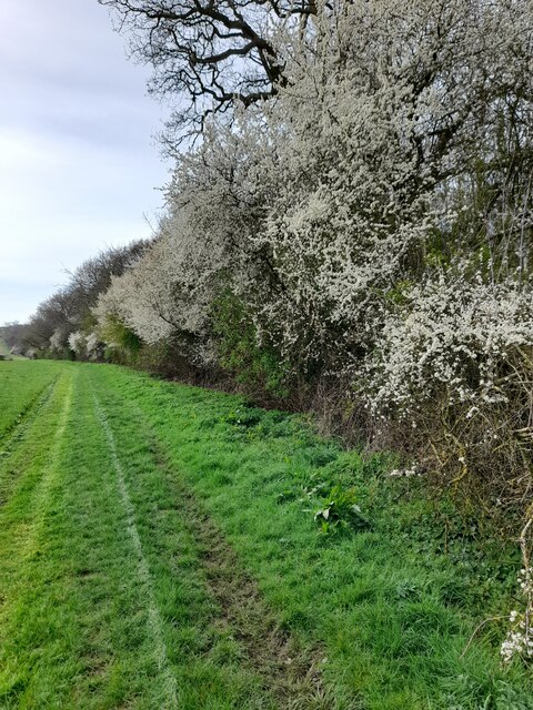
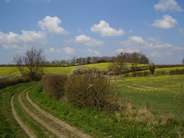
The downs of Caythorpe Low Fields are marked by their gently sloping hills, covered in lush green grasses and wildflowers. These downs offer breathtaking panoramic views of the surrounding countryside, with their undulating terrain providing a sense of tranquility and serenity. It is not uncommon to see grazing livestock, such as sheep or cattle, dotting the landscape, adding to the idyllic charm of the area.
In contrast, the moorland of Caythorpe Low Fields presents a more rugged and wild atmosphere. Here, visitors can witness heather-covered hillsides, interspersed with patches of bracken and gorse. The moorland is home to a wide variety of flora and fauna, including birds of prey, such as kestrels and owls, as well as numerous species of butterflies and bees.
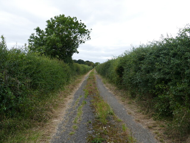
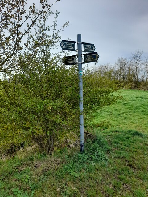
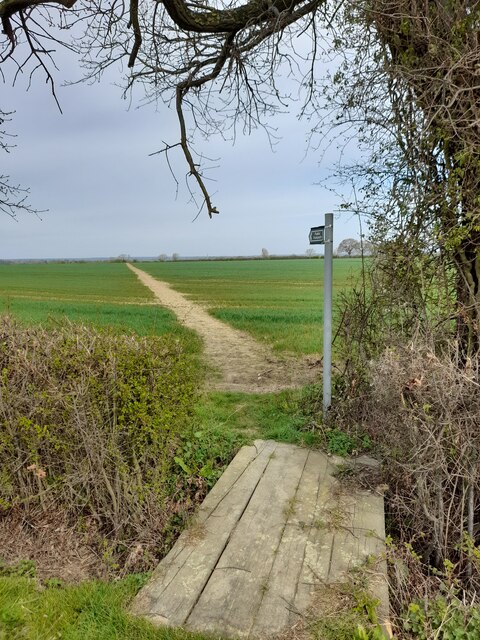
Caythorpe Low Fields offers visitors the opportunity to explore its natural beauty through a network of footpaths and trails. These paths wind their way through the downs and moorland, allowing hikers and nature enthusiasts to fully immerse themselves in the tranquility and splendor of the surroundings.
Overall, Caythorpe Low Fields in Lincolnshire is a remarkable area, where downs and moorland seamlessly blend to create a captivating landscape. Its natural beauty and diverse ecosystems make it a haven for wildlife and a delight for those seeking a peaceful escape in the heart of nature.
If you have any feedback on the listing, please let us know in the comments section below.
Caythorpe Low Fields Images
Images are sourced within 2km of 53.033092/-0.63136379 or Grid Reference SK9149. Thanks to Geograph Open Source API. All images are credited.


Caythorpe Low Fields is located at Grid Ref: SK9149 (Lat: 53.033092, Lng: -0.63136379)
Administrative County: Lincolnshire
District: South Kesteven
Police Authority: Lincolnshire
What 3 Words
///elbow.unframed.confined. Near Caythorpe, Lincolnshire
Nearby Locations
Related Wikis
Loveden
Loveden is a deanery of the Diocese of Lincoln, England, and a former wapentake.Loveden is located broadly to the North of Grantham and includes the villages...

Brandon, Lincolnshire
Brandon is a small village in South Kesteven, south Lincolnshire, England, part of the civil parish of Hough-on-the-Hill (where the population is listed...
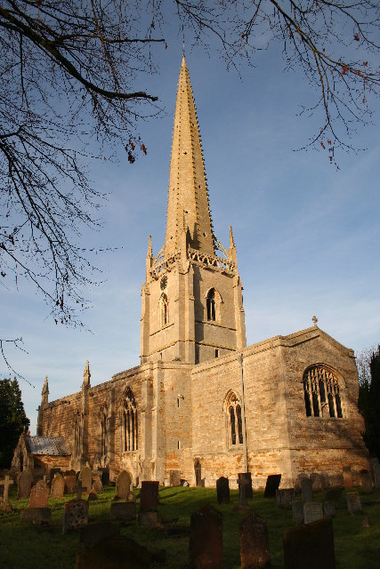
St Vincent's Church, Caythorpe
St Vincent's Church is a Grade I listed Church of England parish church in Caythorpe, Lincolnshire, England. It is at the southern edge of the Lincoln...
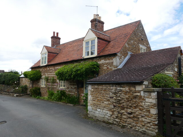
Caythorpe, Lincolnshire
Caythorpe is a large village and civil parish in the South Kesteven district of Lincolnshire, England. The population at 2011 census was 1,374. It is situated...

Frieston
Frieston is a village in the South Kesteven district of Lincolnshire, England. It is situated just west of the A607 road, and 7 miles (11 km) north from...
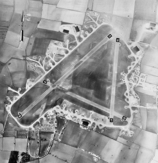
RAF Fulbeck
Royal Air Force Fulbeck or more simply RAF Fulbeck is a former Royal Air Force station located 6.3 miles (10.1 km) east of Newark-on-Trent, Nottinghamshire...

Hough-on-the-Hill
Hough-on-the-Hill is a village and civil parish in the South Kesteven district of Lincolnshire, England. The population of the civil parish including Brandon...

Stragglethorpe
Stragglethorpe is a village in the civil parish of Brant Broughton with Stragglethorpe, in the North Kesteven district of Lincolnshire, England. The village...
Nearby Amenities
Located within 500m of 53.033092,-0.63136379Have you been to Caythorpe Low Fields?
Leave your review of Caythorpe Low Fields below (or comments, questions and feedback).