Bowlhead Green

Settlement in Surrey Waverley

England

Bowlhead Green

The Three Horseshoes
The Three Horseshoes Credit: Alex McGregor

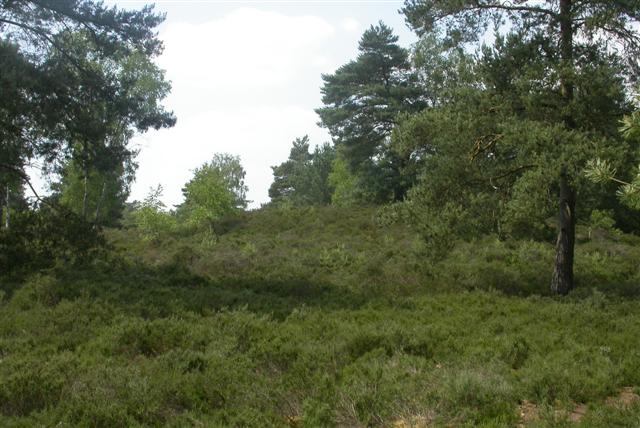
Bowlhead Green is a small village located in the county of Surrey, England. Situated approximately 10 miles south-west of Guildford and 40 miles south-west of London, it falls within the administrative district of Waverley. The village is nestled amidst the picturesque countryside, surrounded by rolling hills and lush green fields.

Known for its tranquil and idyllic setting, Bowlhead Green offers residents and visitors a peaceful retreat from the hustle and bustle of urban life. The village is characterized by its charming collection of traditional cottages and period houses, which add to its quintessential English village atmosphere.

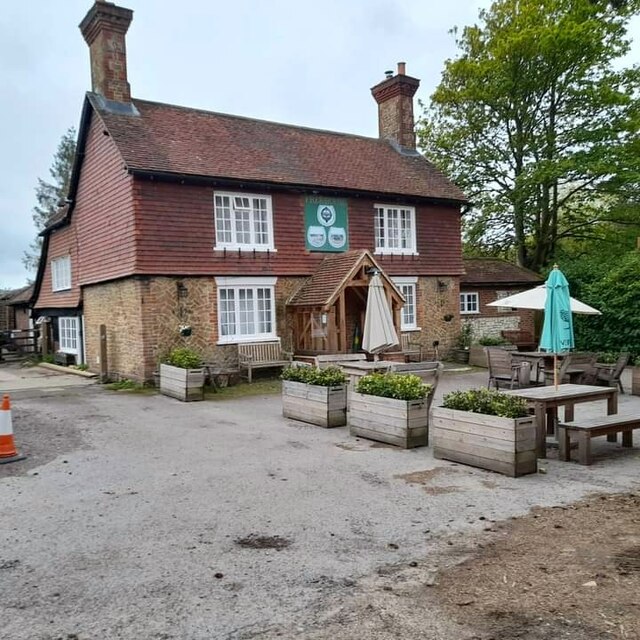
Facilities within the village are limited, with only a handful of amenities available. These include a local pub, The Bowlhead Green Inn, which serves as a popular gathering spot for locals and visitors alike. Additionally, there is a small village hall that hosts community events and gatherings.

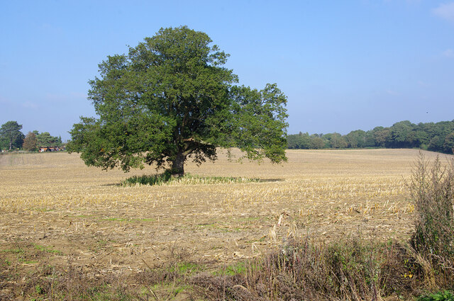
The surrounding countryside provides ample opportunities for outdoor activities, such as walking, cycling, and horseback riding. Bowlhead Green is also in close proximity to several nature reserves and recreational areas, including the Surrey Hills Area of Outstanding Natural Beauty, which offers stunning landscapes and diverse wildlife.

Despite its small size, Bowlhead Green benefits from good transportation links, with easy access to the A3 road and nearby railway stations, such as Milford and Godalming, providing convenient connections to larger towns and cities in the region.

In summary, Bowlhead Green is a charming and peaceful village in the heart of Surrey's countryside, offering residents and visitors a delightful escape and a chance to enjoy the natural beauty of the area.

If you have any feedback on the listing, please let us know in the comments section below.

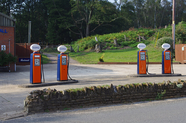
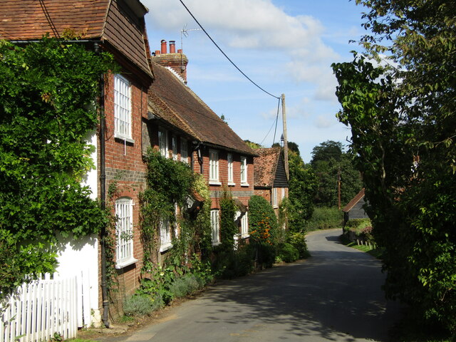
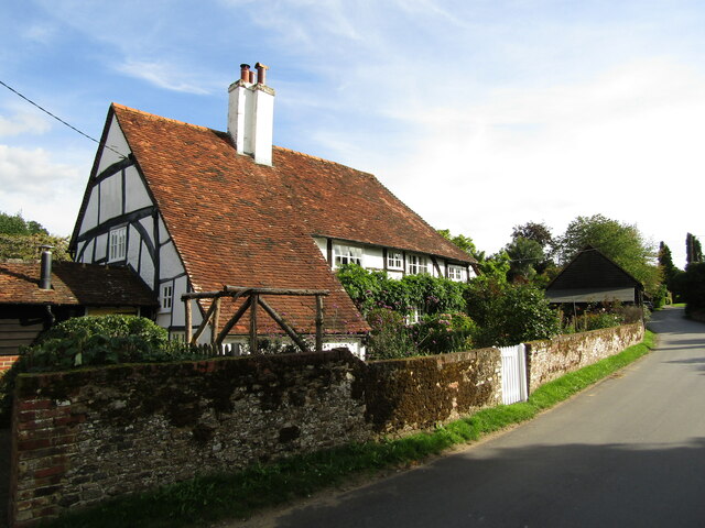
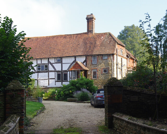
Bowlhead Green Images

Images are sourced within 2km of 51.136857/-0.691406 or Grid Reference SU9138. Thanks to Geograph Open Source API. All images are credited.

The Three Horseshoes
The Pirrie Hall
The Pirrie Hall
St Michael & All Angels Church Grade I listed building - <span class="nowrap"><a title="https://historicengland.org.uk/listing/the-list/list-entry/1260876" rel="nofollow ugc noopener" href="https://historicengland.org.uk/listing/the-list/list-entry/1260876">Link</a><img style="margin-left:2px;" alt="External link" title="External link - shift click to open in new window" src="https://s1.geograph.org.uk/img/external.png" width="10" height="10"/></span>
St Michael & All Angels Church
Grade I listed building - LinkExternal link
Farmland, Thursley The crop has been harvested.
Farmland, Thursley
The crop has been harvested.
Old petrol pumps, Thursley On the old A3, before it was upgraded to dual carriageway. No longer used but still surviving, and repainted since 2012.
Old petrol pumps, Thursley
On the old A3, before it was upgraded to dual carriageway. No longer used but still surviving, and repainted since 2012.
The Eagle Statue, Brook Lodge
Thursley - The Street Old red brick cottages line the village's former main street, now a quiet lane.
<span class="nowrap"><a title="www.thursley-pc.gov.uk" rel="nofollow ugc noopener" href="http://www.thursley-pc.gov.uk">Link</a><img style="margin-left:2px;" alt="External link" title="External link - shift click to open in new window" src="https://s1.geograph.org.uk/img/external.png" width="10" height="10"/></span>
Thursley - The Street
Old red brick cottages line the village's former main street, now a quiet lane. LinkExternal link
Thursley - St Michael's Church Parts of St Michael and All Angels date back to Saxon times but much of the fabric is now Victorian.
Note the cross carries a black drape - mourning for Queen Elizabeth II (1926-2022).
<span class="nowrap"><a title="www.thursley-pc.gov.uk" rel="nofollow ugc noopener" href="http://www.thursley-pc.gov.uk">Link</a><img style="margin-left:2px;" alt="External link" title="External link - shift click to open in new window" src="https://s1.geograph.org.uk/img/external.png" width="10" height="10"/></span>
Thursley - St Michael's Church
Parts of St Michael and All Angels date back to Saxon times but much of the fabric is now Victorian. Note the cross carries a black drape - mourning for Queen Elizabeth II (1926-2022). LinkExternal link
Thursley - Font Original font of Bargate stone inside St Michael and All Angels Church which has Saxon roots.
Thursley - Font
Original font of Bargate stone inside St Michael and All Angels Church which has Saxon roots.
Thursley - Royal Arms Board with royal coat of arms dated 1783, realm of King George III, within the historic parish church.
Thursley - Royal Arms
Board with royal coat of arms dated 1783, realm of King George III, within the historic parish church.
Thursley - Sunset Cottage Timber-framed 16th century cottage with a distinctively large sloping roof on The Street.
Thursley - Sunset Cottage
Timber-framed 16th century cottage with a distinctively large sloping roof on The Street.
Daffodils in Thursley Churchyard
Upper Highfield Farm House Grade II listed building - <span class="nowrap"><a title="https://historicengland.org.uk/listing/the-list/list-entry/1240875" rel="nofollow ugc noopener" href="https://historicengland.org.uk/listing/the-list/list-entry/1240875">Link</a><img style="margin-left:2px;" alt="External link" title="External link - shift click to open in new window" src="https://s1.geograph.org.uk/img/external.png" width="10" height="10"/></span>
Upper Highfield Farm House
Grade II listed building - LinkExternal link
The entrance to Witley Park on Lea Coach Road
Estate bridge, Bowlhead Green Road It carries a footbridge from Witley Park
Estate bridge, Bowlhead Green Road
It carries a footbridge from Witley Park
Bowlhead Green, Surrey Right on the SW corner of Surrey near the Sussex border.
Bowlhead Green, Surrey
Right on the SW corner of Surrey near the Sussex border.
Bowlhead Green Farm
Bowlhead Green Farm
Show me another place!

Bowlhead Green is located at Grid Ref: SU9138 (Lat: 51.136857, Lng: -0.691406)

Administrative County: Surrey

District: Waverley

Police Authority: Surrey

What 3 Words

///nods.coining.sandbags. Near Wormley, Surrey

Related Wikis

Brook, Surrey

Brook is a hamlet in the civil parish of Witley in the Waverley district in south-west Surrey. It is in the far west of Wormley, beyond Sandhills with...
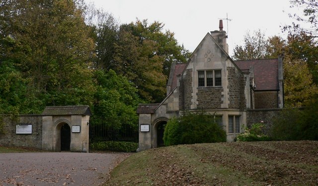
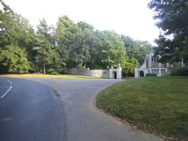
Witley Park

Witley Park, formerly known as Lea Park, is an estate dating from the 19th-century between Godalming and Haslemere, Surrey, England. Its landscaped grounds...

Brook Brick Pit

Brook Brick Pit is a 0.9-hectare (2.2-acre) geological Site of Special Scientific Interest west of Wormley Surrey. It is a Geological Conservation Review...

South West Surrey (UK Parliament constituency)

South West Surrey is a constituency represented in the House of Commons of the UK Parliament. Since 2005, the seat has been represented by Conservative...

Thursley

Thursley is a village and civil parish in southwest Surrey, west of the A3 between Milford and Hindhead. An associated hamlet is Bowlhead Green. To the...
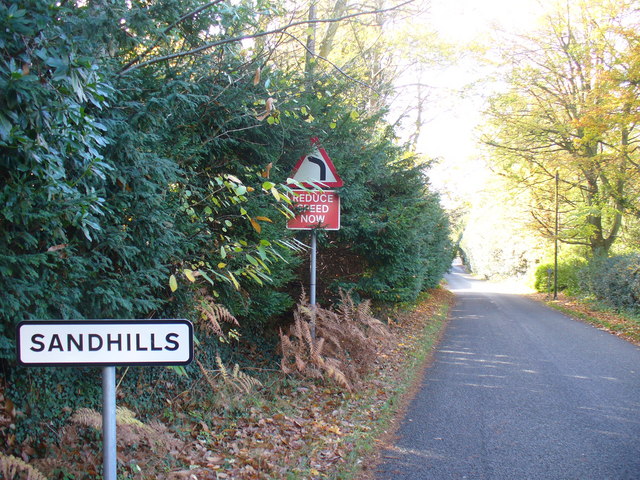
Sandhills, Surrey

Sandhills is a small hamlet located between the villages of Wormley and Brook in Surrey, UK. It is part of the Surrey Hills Area of Outstanding Beauty...

Witley Camp

Witley Military Camp, often simplified to Camp Witley, was a temporary army camp set up on Witley Common, Surrey, England during both the First and Second...

Witley Common

Witley Common is an area of woodland and heath, close to Witley, Surrey, in the United Kingdom. It is part of a much larger Site of Special Scientific...

Nearby Amenities

Located within 500m of 51.136857,-0.691406
Heath Hall
Building: yes
Source: npe
Lat/Long: 51.1410435/-0.6903709
Barrier: stile
Lat/Long: 51.1400566/-0.6955992
Barrier: kissing_gate
Lat/Long: 51.1401842/-0.6868958
Barrier: kissing_gate
Lat/Long: 51.140063/-0.688568
Barrier: kissing_gate
Lat/Long: 51.1398877/-0.6897032
Barrier: stile
Lat/Long: 51.1405609/-0.692034
Barrier: kissing_gate
Lat/Long: 51.1407535/-0.6940164
Barrier: stile
Lat/Long: 51.132784/-0.6886008
Barrier: kissing_gate
Lat/Long: 51.1401353/-0.6867571
Barrier: kissing_gate
Lat/Long: 51.1400353/-0.6956575
Turning Circle
Lat/Long: 51.1361777/-0.6913194
Turning Circle
Lat/Long: 51.1338361/-0.6861582
Post Box
Brand: Royal Mail
Brand Wikidata: Q638098
Collection Plate: CP5D
Collection Times: Mo-Fr 09:00; Sa 07:00
Operator: Royal Mail
Operator Wikidata: Q638098
Post Box Mounting: brick_pillar
Post Box Type: wall
Ref: GU8 89D
Royal Cypher: GR
Royal Cypher Wikidata: Q33102273
Source: survey
Survey Point: 2022-09-10
Lat/Long: 51.1365278/-0.691531
Shelter
Shelter Type: picnic_shelter
Source: survey
Survey Date: 2022-09-10
Lat/Long: 51.136487/-0.691611
Bench
Backrest: yes
Colour: brown
Description: Inside shelter.
Source: survey
Survey Date: 2022-09-10
Lat/Long: 51.1365072/-0.6915707
The data included in this document is from www.openstreetmap.org. The data is made available under ODbL.

Have you been to Bowlhead Green?

Leave your review of Bowlhead Green below (or comments, questions and feedback).