Daws Copse
Wood, Forest in Surrey Waverley
England
Daws Copse
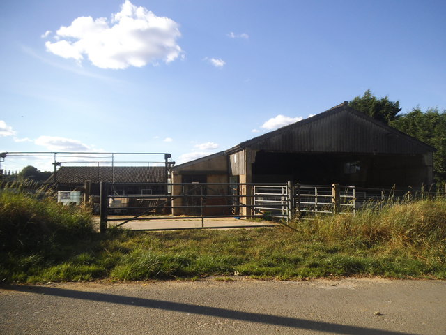
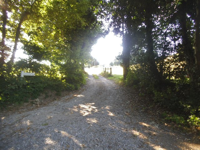
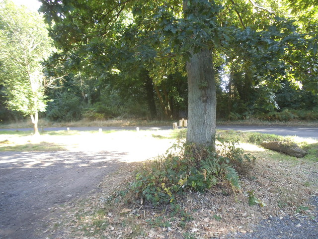
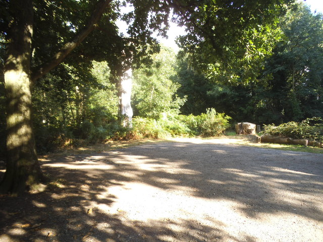
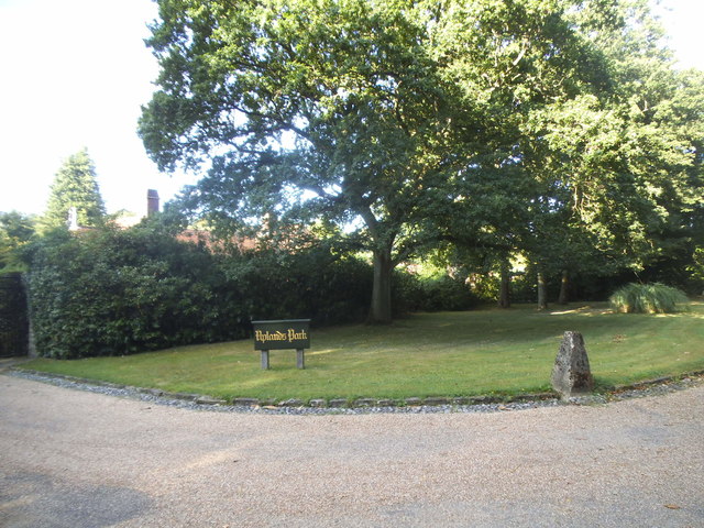
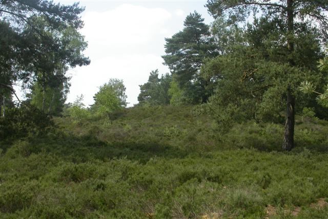
Daws Copse is a picturesque woodland located in Surrey, England. Covering an area of approximately 100 acres, it is a serene and enchanting forest that offers visitors a tranquil escape from the hustle and bustle of everyday life.
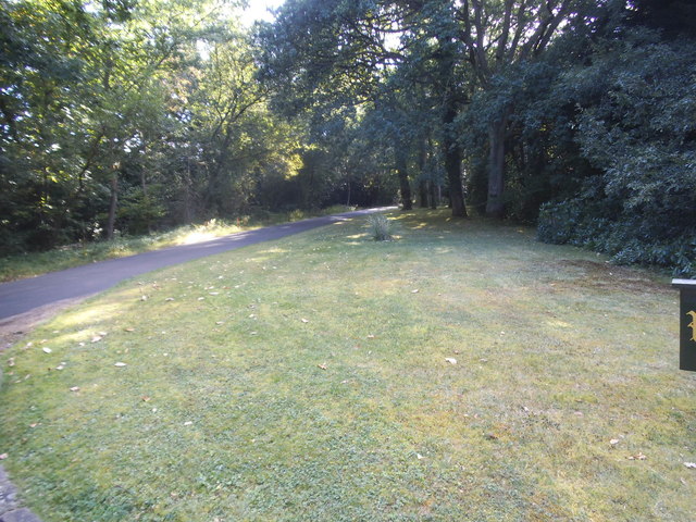
The woodland is predominantly made up of deciduous trees, such as oak, beech, and birch, which provide a stunning canopy of foliage during the summer months. In the autumn, the forest comes alive with a vibrant display of colors as the leaves change from green to shades of red, orange, and gold.
Daws Copse is home to a diverse range of wildlife, including various species of birds, mammals, and insects. Birdwatchers can often spot woodpeckers, jays, and owls among the treetops, while animal lovers may come across rabbits, foxes, and even deer roaming freely through the undergrowth.
There are several walking trails that crisscross the woodland, allowing visitors to explore its natural beauty at their own pace. These paths meander through ancient trees, across babbling brooks, and lead to hidden clearings where one can pause and admire the peaceful surroundings.
The forest is a popular destination for nature enthusiasts and photographers, who are drawn to its scenic beauty and abundant wildlife. It also serves as a great location for family picnics, outdoor activities, and nature education programs.
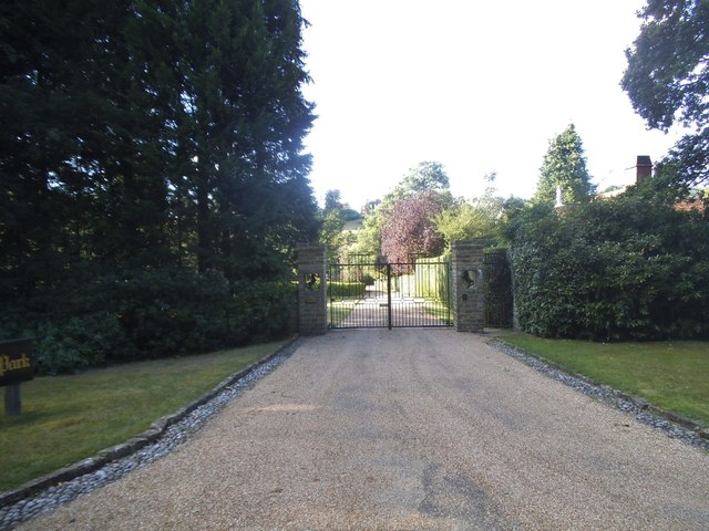
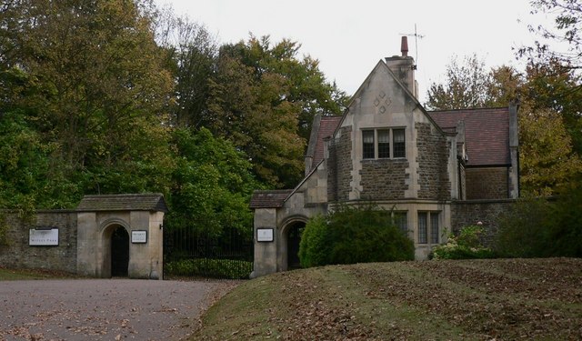
Daws Copse is easily accessible, with ample parking facilities and well-maintained paths. It offers a haven of tranquility for those seeking solace in nature, providing an immersive experience in the heart of Surrey's natural beauty.
If you have any feedback on the listing, please let us know in the comments section below.
Daws Copse Images
Images are sourced within 2km of 51.137475/-0.6866659 or Grid Reference SU9138. Thanks to Geograph Open Source API. All images are credited.


Daws Copse is located at Grid Ref: SU9138 (Lat: 51.137475, Lng: -0.6866659)
Administrative County: Surrey
District: Waverley
Police Authority: Surrey
What 3 Words
///secures.doubt.huddled. Near Wormley, Surrey
Nearby Locations
Related Wikis

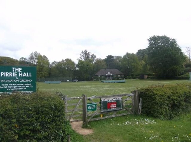
Brook, Surrey
Brook is a hamlet in the civil parish of Witley in the Waverley district in south-west Surrey. It is in the far west of Wormley, beyond Sandhills with...
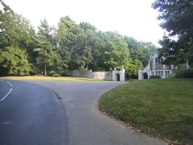
Witley Park
Witley Park, formerly known as Lea Park, is an estate dating from the 19th-century between Godalming and Haslemere, Surrey, England. Its landscaped grounds...

Brook Brick Pit
Brook Brick Pit is a 0.9-hectare (2.2-acre) geological Site of Special Scientific Interest west of Wormley Surrey. It is a Geological Conservation Review...
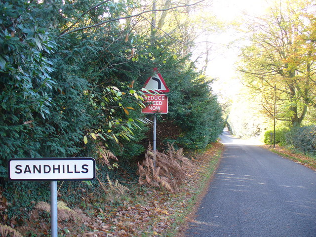
Sandhills, Surrey
Sandhills is a small hamlet located between the villages of Wormley and Brook in Surrey, UK. It is part of the Surrey Hills Area of Outstanding Beauty...

South West Surrey (UK Parliament constituency)
South West Surrey is a constituency represented in the House of Commons of the UK Parliament. Since 2005, the seat has been represented by Conservative...

Thursley
Thursley is a village and civil parish in southwest Surrey, west of the A3 between Milford and Hindhead. An associated hamlet is Bowlhead Green. To the...

Witley Camp
Witley Military Camp, often simplified to Camp Witley, was a temporary army camp set up on Witley Common, Surrey, England during both the First and Second...
Witley Common
Witley Common is an area of woodland and heath, close to Witley, Surrey, in the United Kingdom. It is part of a much larger Site of Special Scientific...
Nearby Amenities
Located within 500m of 51.137475,-0.6866659Have you been to Daws Copse?
Leave your review of Daws Copse below (or comments, questions and feedback).