Moor Covert
Wood, Forest in Lincolnshire North Kesteven
England
Moor Covert
Moor Covert is a picturesque woodland located in Lincolnshire, England. With a rich history and diverse ecosystem, it is a popular destination for nature enthusiasts and visitors seeking tranquility.
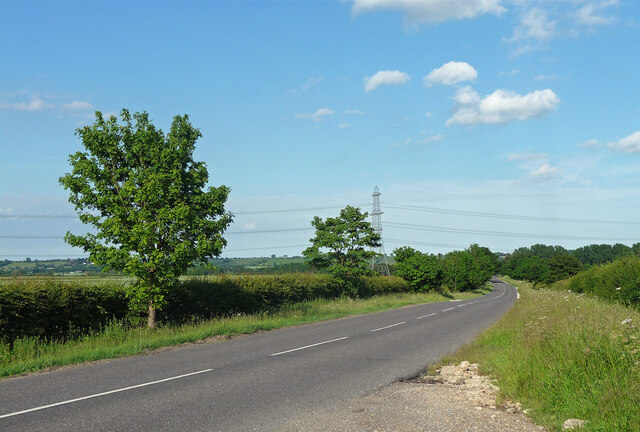
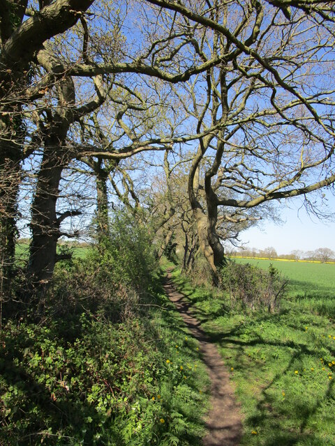
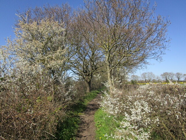
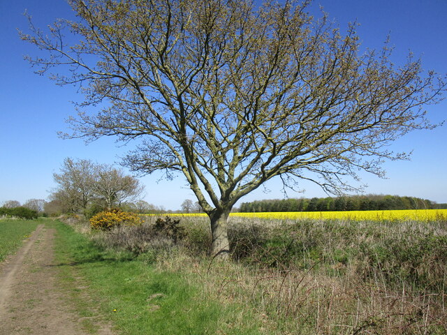
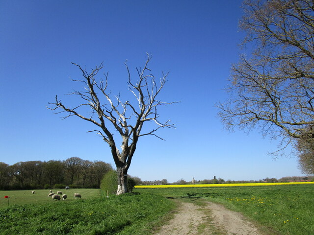
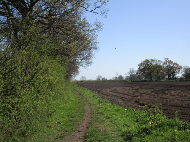
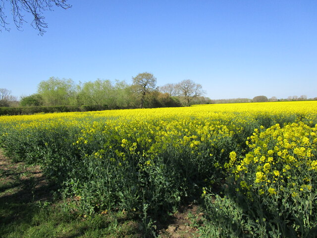
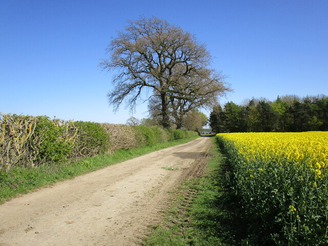
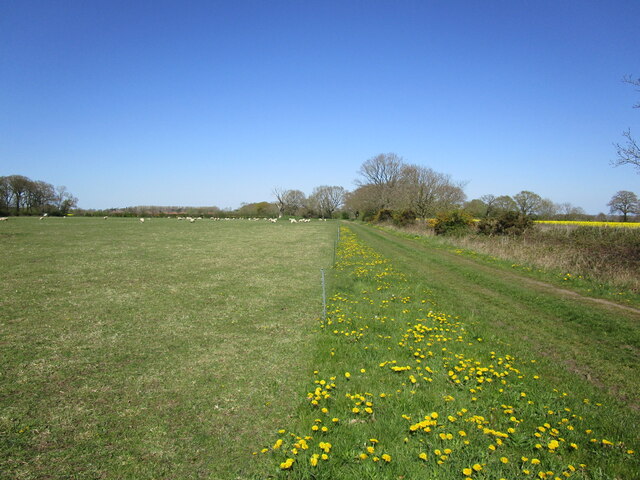
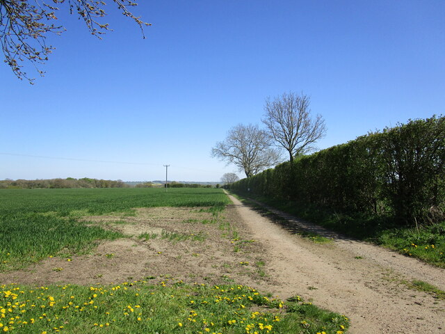
Covering an area of approximately 100 acres, Moor Covert is characterized by its dense canopy of trees, predominantly consisting of oak, beech, and ash. The woodland floor is adorned with an array of wildflowers and ferns, creating a vibrant and colorful display during the spring and summer months.
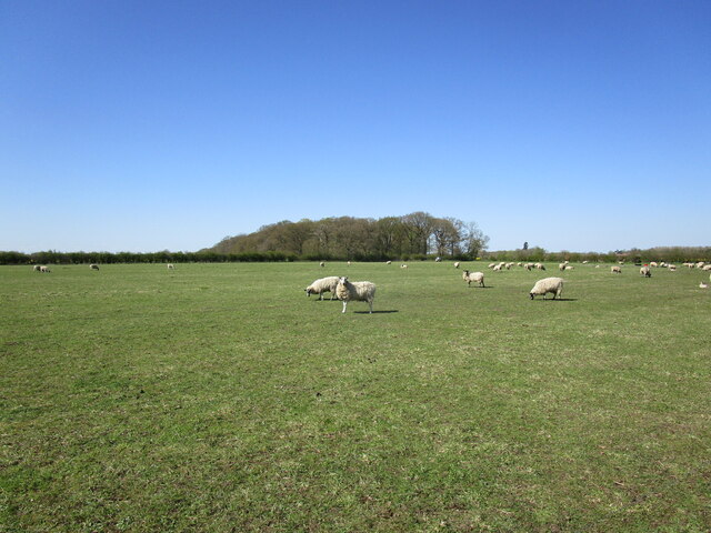
The woodland is home to a variety of wildlife, including deer, foxes, badgers, and numerous bird species. Birdwatchers often flock to Moor Covert to catch a glimpse of rare and migratory species that can be found nesting or passing through the area.
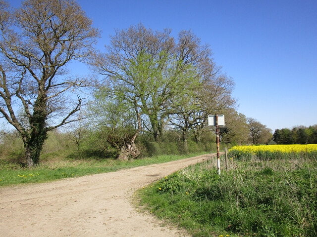
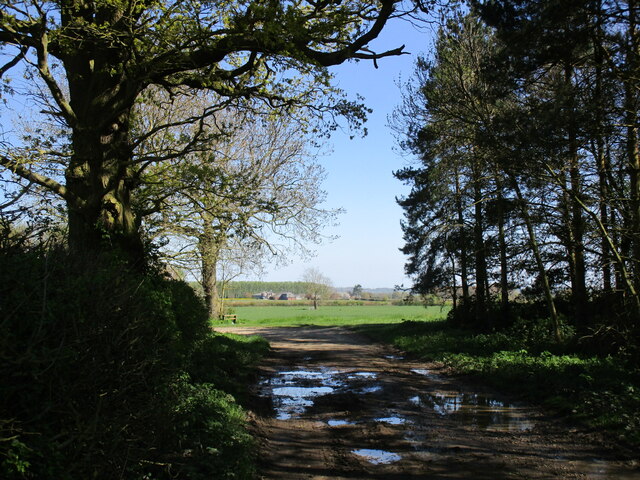
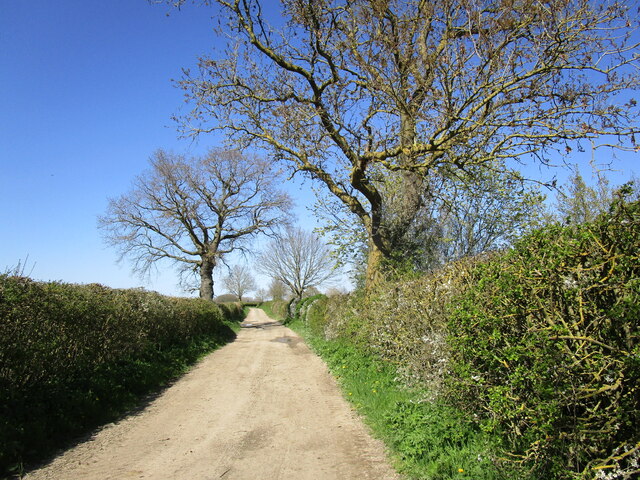
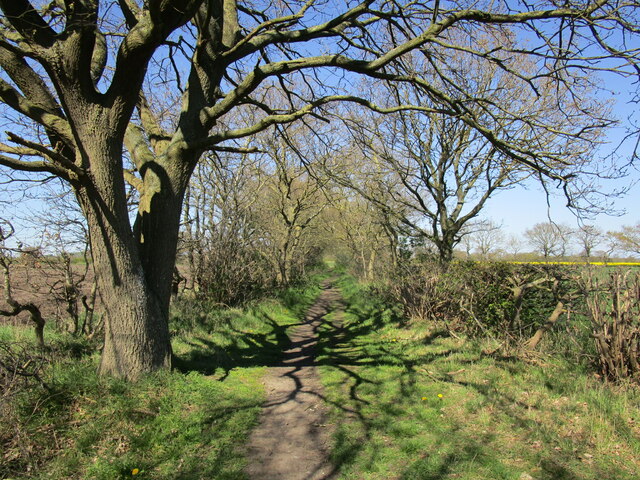
Trails wind their way through the woodland, allowing visitors to explore its beauty at their own pace. These paths are well-maintained and suitable for both leisurely strolls and more adventurous hikes. Along the way, benches and picnic areas provide opportunities for rest and relaxation while enjoying the peaceful surroundings.
Moor Covert also holds archaeological significance, with evidence of ancient human habitation found within its boundaries. Excavations have unearthed artifacts dating back to the Bronze Age, shedding light on the area's historical importance.
Overall, Moor Covert offers a serene escape from the hustle and bustle of everyday life. Its natural beauty, diverse wildlife, and historical significance make it a must-visit destination for nature lovers and history enthusiasts alike.
If you have any feedback on the listing, please let us know in the comments section below.
Moor Covert Images
Images are sourced within 2km of 53.146925/-0.62629719 or Grid Reference SK9161. Thanks to Geograph Open Source API. All images are credited.

Moor Covert is located at Grid Ref: SK9161 (Lat: 53.146925, Lng: -0.62629719)
Administrative County: Lincolnshire
District: North Kesteven
Police Authority: Lincolnshire
What 3 Words
///drivers.sprouting.targeted. Near Bassingham, Lincolnshire
Nearby Locations
Related Wikis

Aubourn
Aubourn ("Stream where the Alders grow") is a small village just east of the A46, in between Lincoln and Newark, England, in the county of Lincolnshire...

Aubourn with Haddington
Aubourn with Haddington or Aubourn and Haddington is a civil parish in the North Kesteven district of Lincolnshire, England. The population of the civil...

Haddington, Lincolnshire
Haddington is a hamlet in the North Kesteven district of Lincolnshire, England. It is situated just off the Fosse Way Roman road, now the A46, 7 miles...

Thurlby, North Kesteven
Thurlby is a village and civil parish in the North Kesteven district of Lincolnshire, England, about 9 miles (14 km) south-west of the city of Lincoln...

Aubourn Haddington and South Hykeham
Aubourn Haddington and South Hykeham was a former civil parish in the North Kesteven district of Lincolnshire, England. According to the 2001 census it...
Bassingham
Bassingham is a village and civil parish in the North Kesteven district of Lincolnshire, England. The population of the civil parish at the 2011 census...
Witham St Hughs
Witham St Hughs is a village in the Parish of Thurlby in the North Kesteven district of Lincolnshire, England. The population of the civil parish (including...

RAF Swinderby
Royal Air Force Swinderby or more simply RAF Swinderby is a former Royal Air Force station airfield opened in 1940, one of the last of the stations completed...
Nearby Amenities
Located within 500m of 53.146925,-0.62629719Have you been to Moor Covert?
Leave your review of Moor Covert below (or comments, questions and feedback).