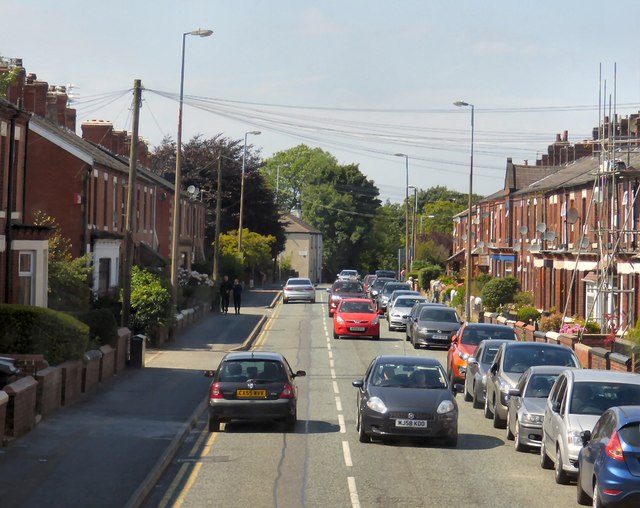
End, West
Settlement in Lancashire
England
End, West
The requested URL returned error: 429 Too Many Requests
If you have any feedback on the listing, please let us know in the comments section below.
End, West Images
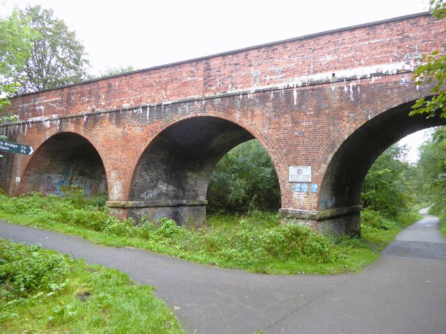
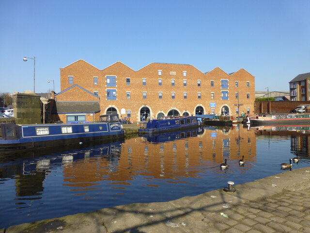
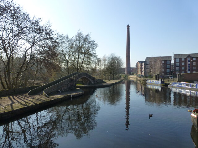
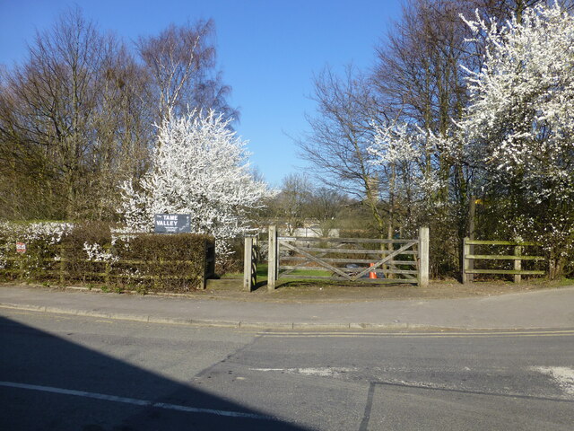
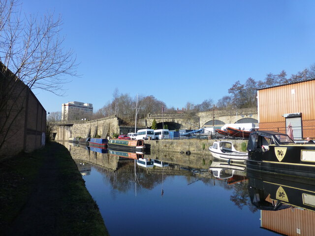
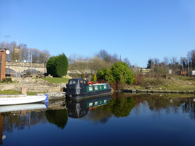
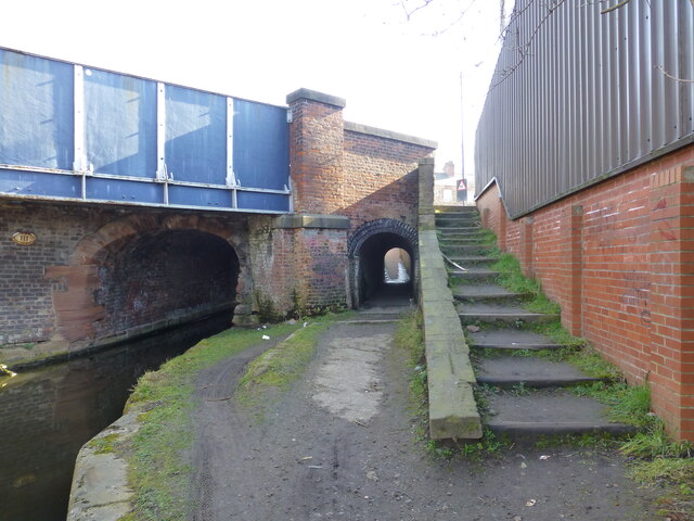
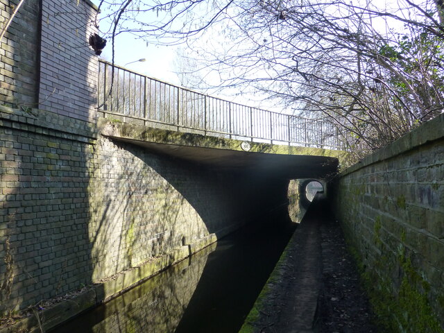
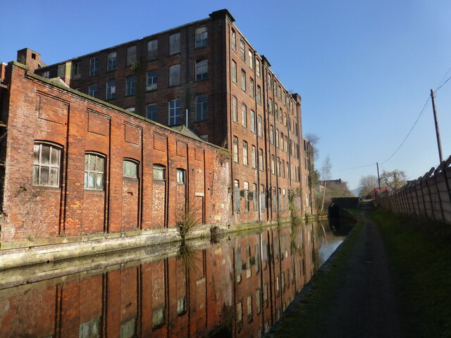
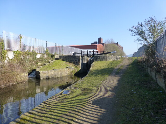
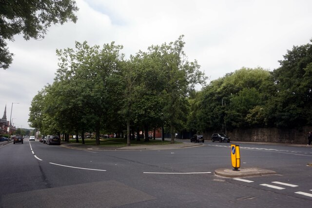
Images are sourced within 2km of 53.483738/-2.106916 or Grid Reference SJ9398. Thanks to Geograph Open Source API. All images are credited.
End, West is located at Grid Ref: SJ9398 (Lat: 53.483738, Lng: -2.106916)
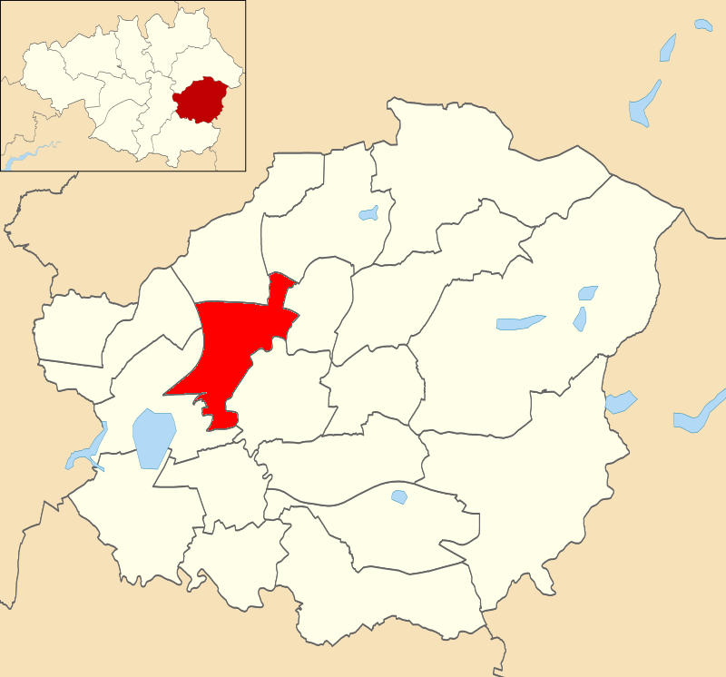
Unitary Authority: Tameside
Police Authority: Greater Manchester
What 3 Words
///groom.lower.grant. Near Ashton-under-Lyne, Manchester
Related Wikis
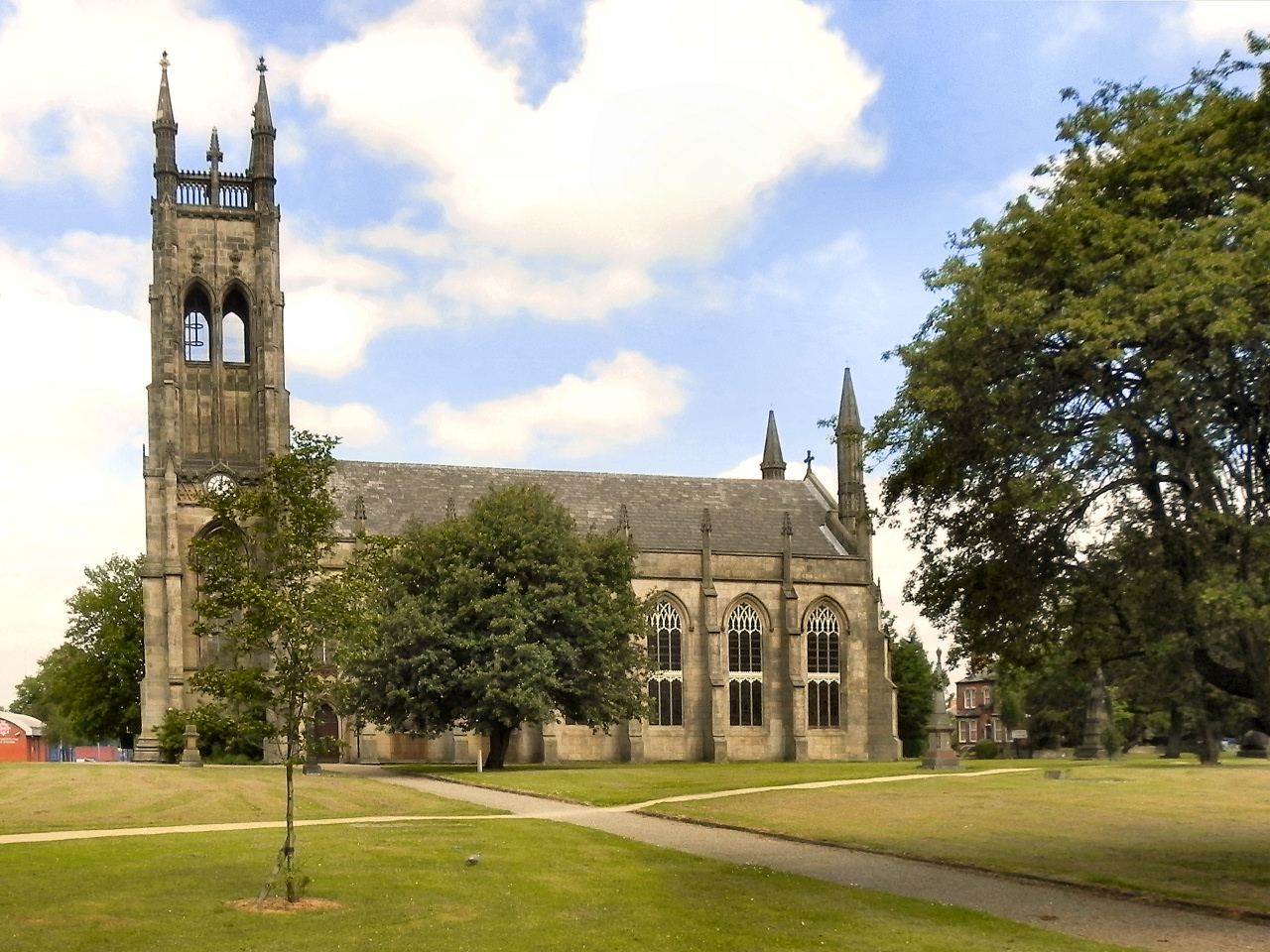
St Peter's Church, Ashton-under-Lyne
St Peter's Church is in Manchester Road, Ashton-under-Lyne, Greater Manchester, England. It is an active Anglican parish church in the deanery of Ashton...
St. Peters (ward)
St. Peters is an electoral ward of Tameside, England. It is represented in Westminster by Angela Rayner Labour MP for Ashton-under-Lyne. == Councillors... ==

Junction Mills, Ashton-under-Lyne
The Junction Mills were cotton spinning and weaving mills to the west of the Portland Basin in Ashton-under-Lyne, Greater Manchester, in England. They...

Ashton Moss railway station
Ashton Moss Railway Station was a short lived station on the Oldham, Ashton and Guide Bridge Railway (OA&GB) that served the town of Ashton-under-Lyne...
Nearby Amenities
Located within 500m of 53.483738,-2.106916Have you been to End, West?
Leave your review of End, West below (or comments, questions and feedback).