West End

Settlement in Lancashire

England

West End

Cranbourne Road viaduct Across the former railway between Ashton and Oldham, now a cycle path.
Cranbourne Road viaduct Credit: Kevin Waterhouse

West End is a small village located in Lancashire, England. It is situated near the town of Morecambe and is known for its picturesque countryside and charming rural atmosphere. The village is home to a few local shops, pubs, and restaurants, as well as a primary school and community center.

West End is surrounded by rolling hills and lush green fields, making it a popular destination for outdoor enthusiasts and nature lovers. The village is also close to the coast, offering residents and visitors easy access to beautiful beaches and stunning views of the Irish Sea.

Despite its rural setting, West End is well-connected to nearby towns and cities, with good transportation links and access to major roadways. The village has a strong sense of community, with regular events and activities organized by local residents and community groups.

Overall, West End offers a peaceful and idyllic setting for those looking to escape the hustle and bustle of city life and enjoy the beauty of the Lancashire countryside.

If you have any feedback on the listing, please let us know in the comments section below.
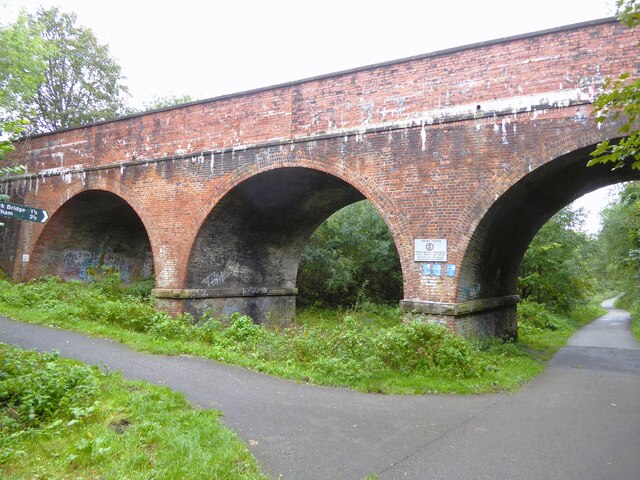
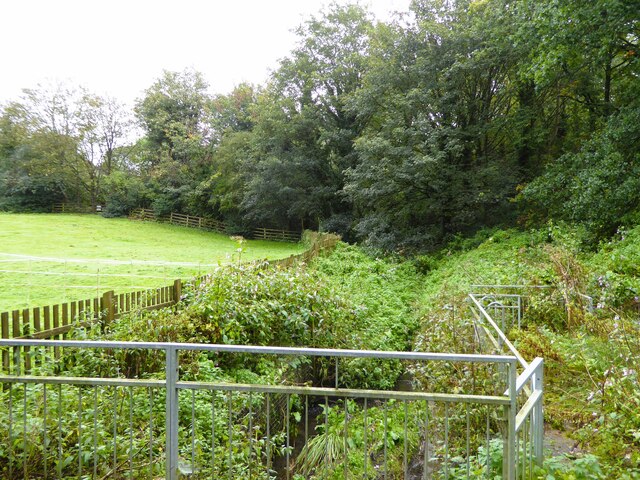
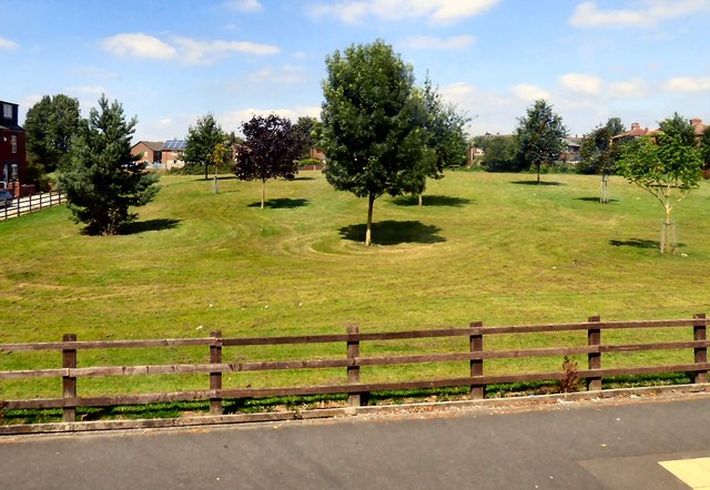
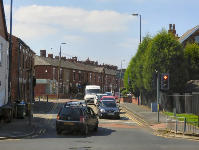
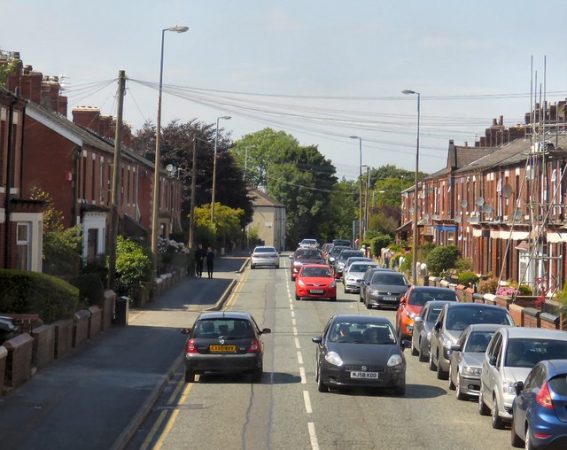
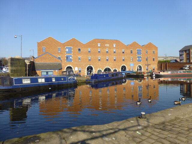
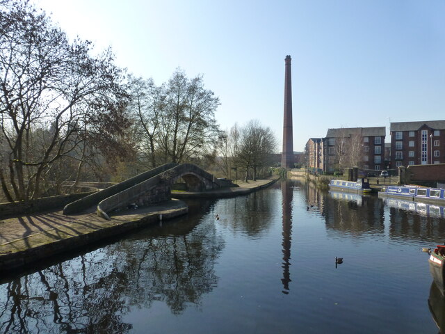
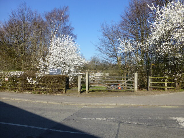
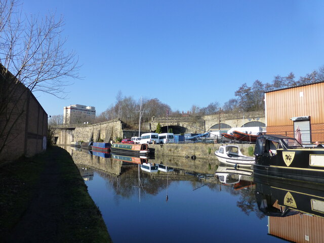
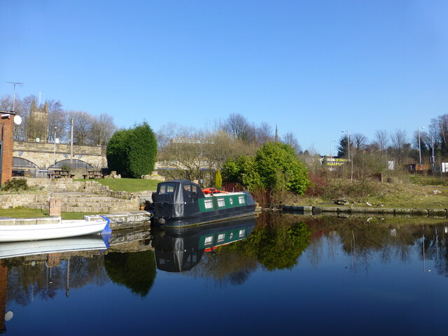
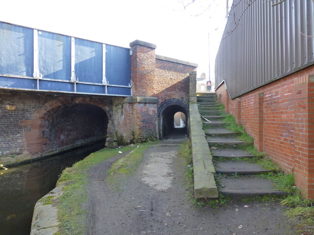
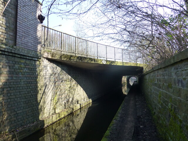
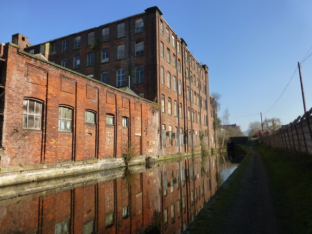
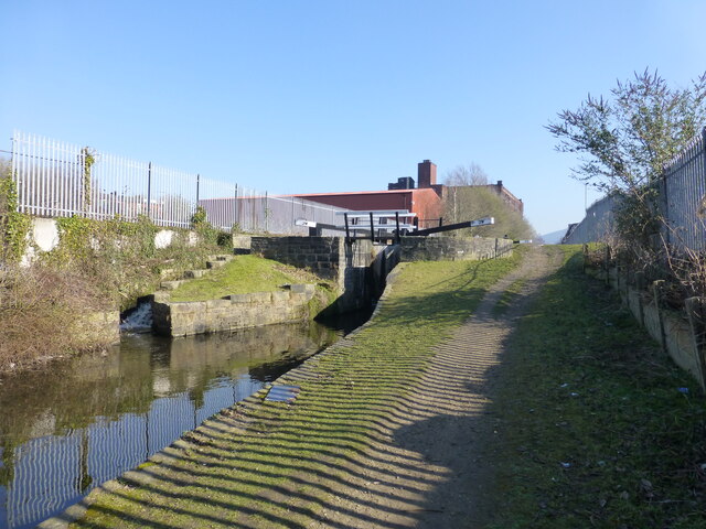
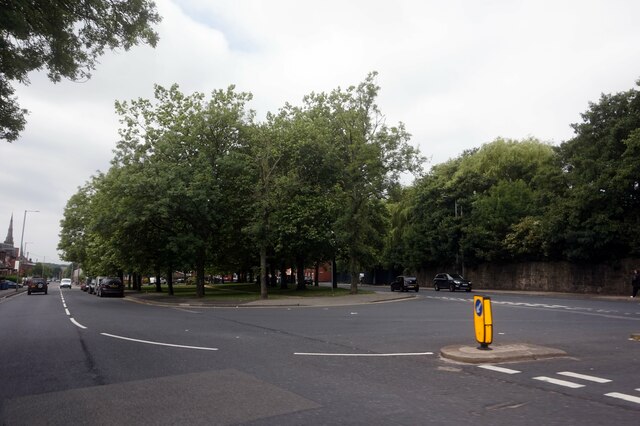
West End Images

Images are sourced within 2km of 53.483738/-2.106916 or Grid Reference SJ9398. Thanks to Geograph Open Source API. All images are credited.

Cranbourne Road viaduct Across the former railway between Ashton and Oldham, now a cycle path.
Cranbourne Road viaduct
Across the former railway between Ashton and Oldham, now a cycle path.
Smallshaw Brook Entering a culvert to pass under the former Ashton to Oldham railway
Smallshaw Brook
Entering a culvert to pass under the former Ashton to Oldham railway
Dale Grove A green space off Wilshaw Lane.
Dale Grove
A green space off Wilshaw Lane.
Newmarket Road At the junction with Oldham Road.
Newmarket Road
At the junction with Oldham Road.
Newmarket Road A busy road connecting Waterloo to Littlemoss.
Newmarket Road
A busy road connecting Waterloo to Littlemoss.
Site of the old bus station The bus station has moved slightly three times in the last 25 years. This was the middle site, and the new interchange can be seen to the right. The Arcades shopping centre is behind.
Site of the old bus station
The bus station has moved slightly three times in the last 25 years. This was the middle site, and the new interchange can be seen to the right. The Arcades shopping centre is behind.
Tow path crossing on the Ashton Canal
Industry on the Ashton Canal Margaret Street bridge in distance
Industry on the Ashton Canal
Margaret Street bridge in distance
The Museum at Portland Basin
Canal junction at Portland Basin The Ashton joins the Peak Forest.
Canal junction at Portland Basin
The Ashton joins the Peak Forest.
Entrance to the Tame Valley Way View from the B6170
Entrance to the Tame Valley Way
View from the B6170
Canal boatyard at Ashton Railway bridge crossing Lower Wharf Street in background
Canal boatyard at Ashton
Railway bridge crossing Lower Wharf Street in background
Tranquility on the Ashton Canal in Ashton
Horsetunnel under Whitelands bridge
Tunnels on the Huddersfield Narrow Canal Access road and Texas Street cross the canal in Ashton.
Tunnels on the Huddersfield Narrow Canal
Access road and Texas Street cross the canal in Ashton.
Derelict factory on the Huddersfield Narrow Canal Plantation Street bridge in distance
Derelict factory on the Huddersfield Narrow Canal
Plantation Street bridge in distance
Lock at Whitelands Industrial Estate
B6194 Mossley Road, Ashton under Lyne
Show me another place!

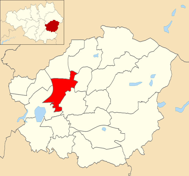
West End is located at Grid Ref: SJ9398 (Lat: 53.483738, Lng: -2.106916)

Unitary Authority: Tameside

Police Authority: Greater Manchester

What 3 Words

///groom.lower.grant. Near Ashton-under-Lyne, Manchester

Nearby Locations

End, West West End

Related Wikis

St Peter's Church, Ashton-under-Lyne

St Peter's Church is in Manchester Road, Ashton-under-Lyne, Greater Manchester, England. It is an active Anglican parish church in the deanery of Ashton...

St. Peters (ward)

St. Peters is an electoral ward of Tameside, England. It is represented in Westminster by Angela Rayner Labour MP for Ashton-under-Lyne. == Councillors... ==

Junction Mills, Ashton-under-Lyne

The Junction Mills were cotton spinning and weaving mills to the west of the Portland Basin in Ashton-under-Lyne, Greater Manchester, in England. They...

Ashton Moss railway station

Ashton Moss Railway Station was a short lived station on the Oldham, Ashton and Guide Bridge Railway (OA&GB) that served the town of Ashton-under-Lyne...

Nearby Amenities

Located within 500m of 53.483738,-2.106916
Crossing
Crossing: traffic_signals
Crossing Island: yes
Crossing Markings: dots
Crossing Ref: puffin
Source: Bing
Tactile Paving: yes
Lat/Long: 53.4841503/-2.1039133
Traffic Signals
Odbl: clean
Lat/Long: 53.4825383/-2.1060208
Crossing
Crossing: traffic_signals
Crossing Island: yes
Crossing Markings: dots
Crossing Ref: pelican
Tactile Paving: yes
Lat/Long: 53.4834759/-2.1085525
Crossing
Bicycle: yes
Crossing: traffic_signals
Crossing Island: yes
Crossing Markings: dots
Crossing Ref: toucan
Kerb: lowered
Tactile Paving: yes
Lat/Long: 53.4827615/-2.1119876
Fuel
BP
Brand: BP
Brand Wikidata: Q152057
Brand Wikipedia: en:BP
Fuel Diesel: yes
Fuel Lpg: yes
Fuel Octane 95: yes
Operator: Motor Fuel Group
Operator Website: https://www.motorfuelgroup.com/locations/maynestone-fs025/
Operator Wikidata: Q107271358
Website: https://map.bp.com/en-GB/GB/petrol-station/ashton-under-lyne/maynestone-s-stn-fs025/4253
Lat/Long: 53.4832672/-2.108793
Traffic Signals
Lat/Long: 53.4844717/-2.1041003
Dukinfield Junction
Lat/Long: 53.4825661/-2.0997272
Traffic Signals
Odbl: clean
Lat/Long: 53.4823091/-2.1062622
Bus Stop
Stockport Road/Trafalgar Square
Bus: yes
Naptan AtcoCode: 1800EH05281
Naptan Bearing: S
Naptan CommonName: Stockport Road/Trafalgar Square
Naptan Indicator: Fish & Chip Shop
Naptan Landmark: FISH/CHIP SHOP
Naptan NaptanCode: manawgaw
Naptan Notes: INDICATOR AMENDED
Naptan PlusbusZoneRef: MNCRPIC
Naptan ShortCommonName: Trafalgar Square
Naptan Street: STOCKPORT ROAD
Naptan Verified: no
Network: TfGM
Public Transport: platform
Source: naptan_import
Lat/Long: 53.4798121/-2.107739
Bus Stop
Stockport Road/Trafalgar Square
Bus: yes
Naptan AtcoCode: 1800EH05291
Naptan Bearing: N
Naptan CommonName: Stockport Road/Trafalgar Square
Naptan Indicator: Trafalgar Sch
Naptan Landmark: CHILDREN'S Centre
Naptan NaptanCode: manawgda
Naptan PlusbusZoneRef: MNCRPIC
Naptan ShortCommonName: Trafalgar Square
Naptan Street: STOCKPORT ROAD
Naptan Verified: no
Network: TfGM
Public Transport: platform
Source: naptan_import
Lat/Long: 53.4802165/-2.1077852
Bus Stop
Stockport Road/Grosvenor Street
Bus: yes
Naptan AtcoCode: 1800EH05301
Naptan Bearing: N
Naptan CommonName: Stockport Road/Grosvenor Street
Naptan Indicator: G k furnishings
Naptan Landmark: PROPERTY 46
Naptan NaptanCode: manawgdg
Naptan Notes: INDICATOR AMENDED
Naptan PlusbusZoneRef: MNCRPIC
Naptan ShortCommonName: Grosvenor Street
Naptan Street: STOCKPORT ROAD
Naptan Verified: no
Network: TfGM
Public Transport: platform
Source: naptan_import
Lat/Long: 53.4816826/-2.1068396
Bus Stop
Stockport Road/Grosvenor Street
Bus: yes
Naptan AtcoCode: 1800EH05311
Naptan Bearing: S
Naptan CommonName: Stockport Road/Grosvenor Street
Naptan Indicator: O/s House 77a
Naptan Landmark: HOUSE 77A
Naptan NaptanCode: manawgdj
Naptan PlusbusZoneRef: MNCRPIC
Naptan ShortCommonName: Grosvenor Street
Naptan Street: STOCKPORT ROAD
Naptan Verified: no
Network: TfGM
Public Transport: platform
Source: naptan_import
Lat/Long: 53.4811612/-2.1068986
Bus Stop
Stockport Road/Chester Square
Bench: yes
Bus: yes
Naptan AtcoCode: 1800EH05321
Naptan Bearing: SW
Naptan CommonName: Stockport Road/Chester Square
Naptan Indicator: Flats
Naptan Landmark: FLATS
Naptan NaptanCode: manawgdm
Naptan PlusbusZoneRef: MNCRPIC
Naptan ShortCommonName: Chester Square
Naptan Street: STOCKPORT ROAD
Naptan Verified: no
Network: TfGM
Public Transport: platform
Shelter: yes
Source: naptan_import
Tactile Paving: no
Lat/Long: 53.4832483/-2.1049297
Bus Stop
Ashton Moss, Manchester Road / opposite Hawthorn Grove
Bench: yes
Bus: yes
Naptan AtcoCode: 1800EH39161
Naptan Bearing: E
Naptan CommonName: Manchester Road/Hawthorn Grove
Naptan Indicator: Quicks
Naptan Landmark: QUICKS
Naptan NaptanCode: mandgmdt
Naptan PlusbusZoneRef: MNCRPIC
Naptan ShortCommonName: Hawthorn Grove
Naptan Street: MANCHESTER ROAD
Naptan Verified: no
Network: TfGM
Operator: TfGM
Public Transport: platform
Shelter: yes
Source: naptan_import
Tactile Paving: no
Lat/Long: 53.4824491/-2.1138638
Bus Stop
Ashton Moss, Manchester Road / near Hawthorne Grove
Bus: yes
Naptan AtcoCode: 1800EH39171
Naptan Bearing: W
Naptan CommonName: Manchester Road/Hawthorne Grove
Naptan Indicator: Opposite Quicks
Naptan Landmark: EVANS HALSHAW
Naptan NaptanCode: mandgmdw
Naptan PlusbusZoneRef: MNCRPIC
Naptan ShortCommonName: Hawthorne Grove
Naptan Street: MANCHESTER ROAD
Naptan Verified: no
Network: TfGM
Operator: TfGM
Public Transport: platform
Shelter: yes
Source: naptan_import
Lat/Long: 53.4824687/-2.1123552
Bus Stop
Ashton Moss, Manchester Road / near William Street
Bench: no
Bus: yes
Naptan AtcoCode: 1800EH39181
Naptan Bearing: E
Naptan CommonName: Manchester Road/William Street
Naptan Indicator: Opp Garage
Naptan Landmark: GARAGE
Naptan NaptanCode: mandgmga
Naptan PlusbusZoneRef: MNCRPIC
Naptan ShortCommonName: William Street
Naptan Street: MANCHESTER ROAD
Naptan Verified: no
Network: TfGM
Operator: TfGM
Public Transport: platform
Shelter: yes
Source: naptan_import
Tactile Paving: no
Lat/Long: 53.4834239/-2.1095716
Bus Stop
Ashton Moss, Manchester Road / adjacent William Street
Bus: yes
Naptan AtcoCode: 1800EH39191
Naptan Bearing: W
Naptan CommonName: Manchester Road/William Street
Naptan Indicator: Petrol Station
Naptan Landmark: PETROL STATION
Naptan NaptanCode: mandgmgd
Naptan PlusbusZoneRef: MNCRPIC
Naptan ShortCommonName: William Street
Naptan Street: MANCHESTER ROAD
Naptan Verified: no
Network: TfGM
Operator: TfGM
Public Transport: platform
Shelter: yes
Source: naptan_import
Lat/Long: 53.483244/-2.1097369
Bus Stop
Chester Square, Stockport Road / near Chester Square
Bus: yes
Naptan AtcoCode: 1800EH39201
Naptan Bearing: SW
Naptan CommonName: Stockport Road/Chester Square
Naptan Indicator: Nr House 74
Naptan Landmark: FLATS
Naptan NaptanCode: mandgmgj
Naptan Notes: INDICATOR AMENDED
Naptan PlusbusZoneRef: MNCRPIC
Naptan ShortCommonName: Chester Square
Naptan Street: STOCKPORT ROAD
Naptan Verified: no
Network: TfGM
Operator: TfGM
Public Transport: platform
Shelter: yes
Source: naptan_import
Tactile Paving: no
Lat/Long: 53.4834372/-2.1047192
Bus Stop
Chester Square, Manchester Road / adjacent Chester Square
Bench: yes
Bus: yes
Naptan AtcoCode: 1800EH39211
Naptan Bearing: E
Naptan CommonName: Manchester Road/Chester Square
Naptan Indicator: Police Station
Naptan Landmark: POLICE STATION
Naptan NaptanCode: mandgmgm
Naptan PlusbusZoneRef: MNCRPIC
Naptan ShortCommonName: Chester Square
Naptan Street: MANCHESTER ROAD
Naptan Verified: no
Network: TfGM
Operator: TfGM
Public Transport: platform
Shelter: yes
Source: naptan_import
Tactile Paving: no
Lat/Long: 53.4839913/-2.1075682
Bus Stop
Chester Square, Katherine Street / near Margaret Street
Bus: yes
Naptan AtcoCode: 1800EH35811
Naptan Bearing: W
Naptan CommonName: Katherine Street/Margaret Street
Naptan Indicator: Opp House 334
Naptan Landmark: FLATS
Naptan NaptanCode: mandaptp
Naptan PlusbusZoneRef: MNCRPIC
Naptan ShortCommonName: Margaret Street
Naptan Street: Katherine Street
Naptan Verified: no
Network: TfGM
Operator: TfGM
Public Transport: platform
Source: naptan_import
Lat/Long: 53.4866103/-2.1046667
Bus Stop
Ashton-under-Lyne, Katherine Street / adjacent Welbeck Street North
Bus: yes
Naptan AtcoCode: 1800EH35821
Naptan Bearing: E
Naptan CommonName: Katherine Street/Welbeck Street North
Naptan Indicator: Newton Tools Co
Naptan Landmark: PTS
Naptan NaptanCode: mandaptw
Naptan PlusbusZoneRef: MNCRPIC
Naptan ShortCommonName: Welbeck St North
Naptan Street: Katherine Street
Naptan Verified: no
Network: TfGM
Operator: TfGM
Public Transport: platform
Source: naptan_import
Lat/Long: 53.4870591/-2.1035533
Bus Stop
Richmond Street/Kenyon Street
Bus: yes
Naptan AtcoCode: 1800EH35861
Naptan Bearing: S
Naptan CommonName: Richmond Street/Kenyon Street
Naptan Indicator: Hartshead Label
Naptan Landmark: OFFICES
Naptan NaptanCode: mandapwj
Naptan PlusbusZoneRef: MNCRPIC
Naptan ShortCommonName: Kenyon Street
Naptan Street: RICHMOND STREET
Naptan Verified: no
Network: TfGM
Public Transport: platform
Source: naptan_import
Lat/Long: 53.4879476/-2.1069156
Bus Stop
Richmond Street/Kenyon Street
Bus: yes
Naptan AtcoCode: 1800EH35871
Naptan Bearing: N
Naptan CommonName: Richmond Street/Kenyon Street
Naptan Indicator: Op House 76
Naptan Landmark: INDUSTRIAL Estate
Naptan NaptanCode: mandapwm
Naptan PlusbusZoneRef: MNCRPIC
Naptan ShortCommonName: Kenyon Street
Naptan Street: RICHMOND STREET
Naptan Verified: no
Network: TfGM
Public Transport: platform
Source: naptan_import
Lat/Long: 53.4880912/-2.1071571
Mini Roundabout
Lat/Long: 53.4869024/-2.1062391
Traffic Signals
Lat/Long: 53.4829249/-2.1113818
Historic: fire_station
Source: OS OpenData StreetView
Lat/Long: 53.4852298/-2.1034646
Traffic Signals
Lat/Long: 53.4828108/-2.1112938
Portland Basin Museum
Addr City: Ashton-under-Lyne
Addr Postcode: OL7 0QA
Addr Street: Portland Place
Check Date: 2023-10-13
Fee: no
Museum: local_history
Opening Hours: Tu-Su 10:00-16:00
Operator: Tameside Metropolitan Borough Council
Phone: +44 161 342 5480
Source: OS_OpenData_StreetView
Toilets: yes
Tourism: museum
Website: https://www.tameside.gov.uk/museumsgalleries/portland
Wikidata: Q113370036
Lat/Long: 53.4830436/-2.0998516
Traffic Signals
Lat/Long: 53.4823529/-2.1060366
Ambulance Station
Emergency: ambulance_station
Source: OS_OpenData_StreetView
Lat/Long: 53.4795004/-2.1066894
Traffic Signals
Lat/Long: 53.4846427/-2.1036249
Traffic Signals
Lat/Long: 53.4836124/-2.1081634
Crossing
Crossing: traffic_signals
Crossing Island: yes
Crossing Markings: dots
Crossing Ref: puffin
Source: Bing
Tactile Paving: yes
Lat/Long: 53.4842368/-2.1040496
Barrier: bollard
Bicycle: yes
Foot: yes
Motor Vehicle: no
Lat/Long: 53.4872273/-2.105058
Industrial Chimney
Historic: archaeological_site
Man Made: chimney
Lat/Long: 53.4817782/-2.1013086
Maxwidth: 7'0
Note: Physical width restriction
Lat/Long: 53.4810673/-2.1042578
Entrance: main
Lat/Long: 53.4853359/-2.1019507
Crossing
Crossing: unmarked
Traffic Calming: hump
Lat/Long: 53.4850414/-2.1017399
Crossing
Crossing: traffic_signals
Crossing Island: yes
Crossing Markings: dots
Crossing Ref: puffin
Tactile Paving: yes
Lat/Long: 53.4845072/-2.1034957
Crossing
Crossing: traffic_signals
Crossing Island: yes
Crossing Markings: dots
Crossing Ref: puffin
Tactile Paving: yes
Lat/Long: 53.4844967/-2.1038559
Crossing
Crossing: traffic_signals
Crossing Island: yes
Crossing Markings: dots
Crossing Ref: puffin
Tactile Paving: yes
Lat/Long: 53.484414/-2.1037897
Crossing
Crossing: traffic_signals
Crossing Island: yes
Crossing Markings: dots
Crossing Ref: puffin
Tactile Paving: yes
Lat/Long: 53.4844636/-2.1040588
Crossing
Crossing: traffic_signals
Crossing Island: yes
Crossing Markings: dots
Crossing Ref: puffin
Tactile Paving: yes
Lat/Long: 53.4847026/-2.1040488
Traffic Signals
Lat/Long: 53.4845772/-2.1040139
Crossing
Crossing: traffic_signals
Crossing Island: yes
Crossing Markings: dots
Crossing Ref: puffin
Tactile Paving: yes
Lat/Long: 53.4845752/-2.1039536
Crossing
Crossing: unmarked
Crossing Markings: no
Tactile Paving: yes
Lat/Long: 53.4845933/-2.1034566
Traffic Signals
Lat/Long: 53.4846472/-2.1037846
Traffic Signals
Lat/Long: 53.483755/-2.1081149
Crossing
Crossing: traffic_signals
Crossing Island: yes
Crossing Markings: dots
Crossing Ref: pelican
Tactile Paving: yes
Lat/Long: 53.4835509/-2.1081784
Crossing
Crossing: traffic_signals
Crossing Island: yes
Crossing Markings: dots
Crossing Ref: pelican
Tactile Paving: yes
Lat/Long: 53.4837067/-2.1083298
Pub
Ash Tree Farm
Addr City: Ashton-under-Lyne
Addr Country: GB
Addr Postcode: OL7 0LY
Addr Street: Pamir Drive
Cuisine: pub
Fhrs Id: 764550
Source Addr: FHRS Open Data
Lat/Long: 53.4867343/-2.1125519
Childcare
St Peter's Children's Centre
Lat/Long: 53.4802791/-2.108119
Place Of Worship
West End Methodist Church
Religion: christian
Lat/Long: 53.4800517/-2.1085702
Crossing
Bicycle: yes
Crossing: traffic_signals
Crossing Island: yes
Crossing Markings: dots
Crossing Ref: toucan
Kerb: lowered
Tactile Paving: yes
Lat/Long: 53.4826248/-2.1119876
Barrier: bollard
Bicycle: yes
Foot: yes
Motor Vehicle: no
Lat/Long: 53.4858001/-2.1082833
Generator Method: photovoltaic
Generator Output Electricity: yes
Generator Source: solar
Generator Type: solar_photovoltaic_panel
Location: roof
Power: generator
Lat/Long: 53.4810313/-2.1043386
Generator Method: photovoltaic
Generator Output Electricity: yes
Generator Source: solar
Generator Type: solar_photovoltaic_panel
Location: roof
Power: generator
Lat/Long: 53.4809834/-2.1044137
Generator Method: photovoltaic
Generator Output Electricity: yes
Generator Source: solar
Generator Type: solar_photovoltaic_panel
Location: roof
Power: generator
Lat/Long: 53.4809427/-2.1044781
Generator Method: photovoltaic
Generator Output Electricity: yes
Generator Source: solar
Generator Type: solar_photovoltaic_panel
Location: roof
Power: generator
Lat/Long: 53.480906/-2.1045358
Generator Method: photovoltaic
Generator Output Electricity: yes
Generator Source: solar
Generator Type: solar_photovoltaic_panel
Location: roof
Power: generator
Lat/Long: 53.4808661/-2.1045854
Generator Method: photovoltaic
Generator Output Electricity: yes
Generator Source: solar
Generator Type: solar_photovoltaic_panel
Location: roof
Power: generator
Lat/Long: 53.480539/-2.1059666
Generator Method: photovoltaic
Generator Output Electricity: yes
Generator Source: solar
Generator Type: solar_photovoltaic_panel
Location: roof
Power: generator
Lat/Long: 53.4804944/-2.1060391
Generator Method: photovoltaic
Generator Output Electricity: yes
Generator Source: solar
Generator Type: solar_photovoltaic_panel
Location: roof
Power: generator
Lat/Long: 53.480456/-2.1061008
Generator Method: photovoltaic
Generator Output Electricity: yes
Generator Source: solar
Generator Type: solar_photovoltaic_panel
Location: roof
Power: generator
Lat/Long: 53.4804241/-2.1061464
Generator Method: photovoltaic
Generator Output Electricity: yes
Generator Source: solar
Generator Type: solar_photovoltaic_panel
Location: roof
Power: generator
Lat/Long: 53.4822321/-2.1105351
Generator Method: photovoltaic
Generator Output Electricity: yes
Generator Source: solar
Generator Type: solar_photovoltaic_panel
Location: roof
Power: generator
Lat/Long: 53.4822816/-2.1103608
Generator Method: photovoltaic
Generator Output Electricity: yes
Generator Source: solar
Generator Type: solar_photovoltaic_panel
Location: roof
Power: generator
Lat/Long: 53.4823518/-2.1101918
Fixme: probably 11-12 FIT installs (maisonettes)
Generator Method: photovoltaic
Generator Output Electricity: yes
Generator Source: solar
Generator Type: solar_photovoltaic_panel
Location: roof
Power: generator
Lat/Long: 53.4823231/-2.1096822
Barrier: bollard
Lat/Long: 53.4800559/-2.1069988
Barrier: lift_gate
Lat/Long: 53.4850361/-2.1006741
Noexit: yes
Lat/Long: 53.4821713/-2.1117305
Traffic Signals
Traffic Signals: signal
Traffic Signals Direction: forward
Lat/Long: 53.4841639/-2.1038671
Traffic Signals
Traffic Signals: signal
Traffic Signals Direction: forward
Lat/Long: 53.4842657/-2.1040237
Direction: SSE
Generator Method: photovoltaic
Generator Output Electricity: yes
Generator Solar Modules: 6
Generator Source: solar
Generator Type: solar_photovoltaic_panel
Location: roof
Power: generator
Lat/Long: 53.4865194/-2.1011638
Direction: SSE
Generator Method: photovoltaic
Generator Output Electricity: yes
Generator Solar Modules: 6
Generator Source: solar
Generator Type: solar_photovoltaic_panel
Location: roof
Power: generator
Lat/Long: 53.4865409/-2.1010799
Direction: SSE
Generator Method: photovoltaic
Generator Output Electricity: yes
Generator Solar Modules: 6
Generator Source: solar
Generator Type: solar_photovoltaic_panel
Location: roof
Power: generator
Lat/Long: 53.4861603/-2.1007473
Direction: SSE
Generator Method: photovoltaic
Generator Output Electricity: yes
Generator Solar Modules: 6
Generator Source: solar
Generator Type: solar_photovoltaic_panel
Location: roof
Power: generator
Lat/Long: 53.486201/-2.1007782
Direction: SSE
Generator Method: photovoltaic
Generator Output Electricity: yes
Generator Solar Modules: 6
Generator Source: solar
Generator Type: solar_photovoltaic_panel
Location: roof
Power: generator
Lat/Long: 53.4862433/-2.1008117
Direction: SSE
Generator Method: photovoltaic
Generator Output Electricity: yes
Generator Solar Modules: 6
Generator Source: solar
Generator Type: solar_photovoltaic_panel
Location: roof
Power: generator
Lat/Long: 53.4862848/-2.1008426
Direction: SSE
Generator Method: photovoltaic
Generator Output Electricity: yes
Generator Solar Modules: 6
Generator Source: solar
Generator Type: solar_photovoltaic_panel
Location: roof
Power: generator
Lat/Long: 53.4863266/-2.1008754
Direction: SSE
Generator Method: photovoltaic
Generator Output Electricity: yes
Generator Solar Modules: 6
Generator Source: solar
Generator Type: solar_photovoltaic_panel
Location: roof
Power: generator
Lat/Long: 53.4863681/-2.1009069
Direction: SSE
Generator Method: photovoltaic
Generator Output Electricity: yes
Generator Solar Modules: 6
Generator Source: solar
Generator Type: solar_photovoltaic_panel
Location: roof
Power: generator
Lat/Long: 53.4864104/-2.1009398
Direction: SSE
Generator Method: photovoltaic
Generator Output Electricity: yes
Generator Solar Modules: 3
Generator Source: solar
Generator Type: solar_photovoltaic_panel
Location: roof
Power: generator
Lat/Long: 53.4861315/-2.1007252
Direction: SSE
Generator Method: photovoltaic
Generator Output Electricity: yes
Generator Solar Modules: 3
Generator Source: solar
Generator Type: solar_photovoltaic_panel
Location: roof
Power: generator
Lat/Long: 53.4861068/-2.1007071
Dekko Window Systems
Addr City: Ashton-under-Lyne
Addr Postcode: OL7 0QQ
Addr Street: Margaret Street
Contact Fax: +44 161 406 3551
Craft: window_construction
Email: info@dekkowindows.com
Phone: +44 161 406 0055
Product: windows;doors
Website: https://www.dekkowindows.com/
Lat/Long: 53.4813713/-2.1017679
Post Box
Operator: Royal Mail
Operator Wikidata: Q638098
Post Box Mounting: brick_wall
Post Box Type: wall
Ref: OL7 9
Royal Cypher: GVIR
Royal Cypher Wikidata: Q33102169
Lat/Long: 53.483661/-2.1088227
Post Box
Operator: Royal Mail
Operator Wikidata: Q638098
Post Box Design: type_k
Post Box Type: pillar
Ref: OL7 29
Lat/Long: 53.4821411/-2.1064194
Post Box
Operator: Royal Mail
Operator Wikidata: Q638098
Post Box Design: type_b
Post Box Type: pillar
Ref: OL7 23
Lat/Long: 53.4823128/-2.1035544
Wolseley
Brand: Wolseley
Brand Wikidata: Q8030423
Shop: trade
Trade: plumbing
Website: https://www.wolseley.co.uk/branch/ashton-under-lyne/
Lat/Long: 53.484137/-2.1020982
Cafe
Check Date: 2023-10-13
Lat/Long: 53.4829806/-2.1003952
Crossing
Crossing: unmarked
Crossing Markings: no
Lat/Long: 53.4795471/-2.1083016
The data included in this document is from www.openstreetmap.org. The data is made available under ODbL.

Have you been to West End?

Leave your review of West End below (or comments, questions and feedback).