End, West

Settlement in Leicestershire North West Leicestershire

England

End, West

Brook at Osgathorpe
Brook at Osgathorpe Credit: Jonathan Thacker

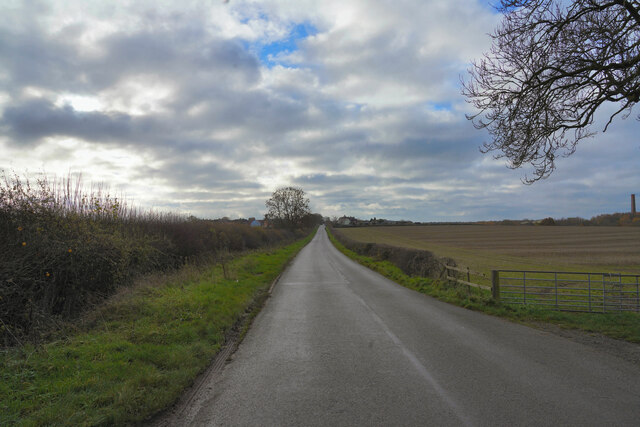
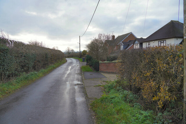
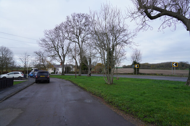
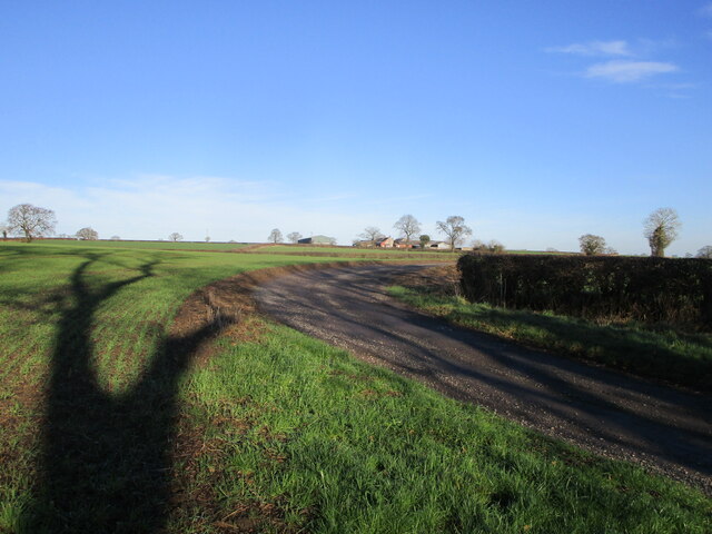
End is a small village located in the western part of Leicestershire, England. Situated approximately 10 miles from the city of Leicester, it falls within the Hinckley and Bosworth district. The village is surrounded by beautiful countryside, with rolling hills and lush green fields.

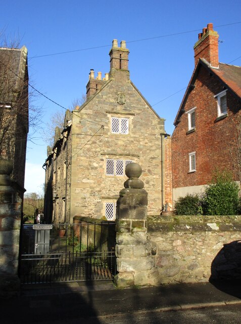
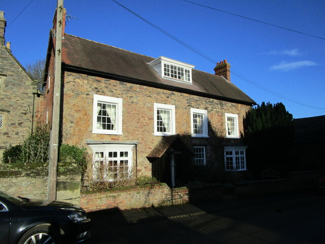
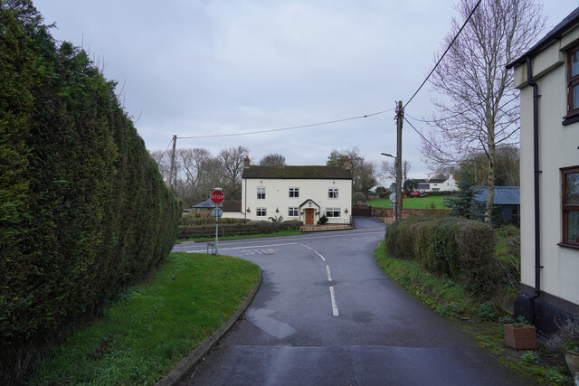
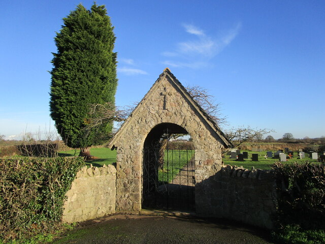
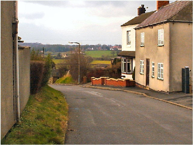
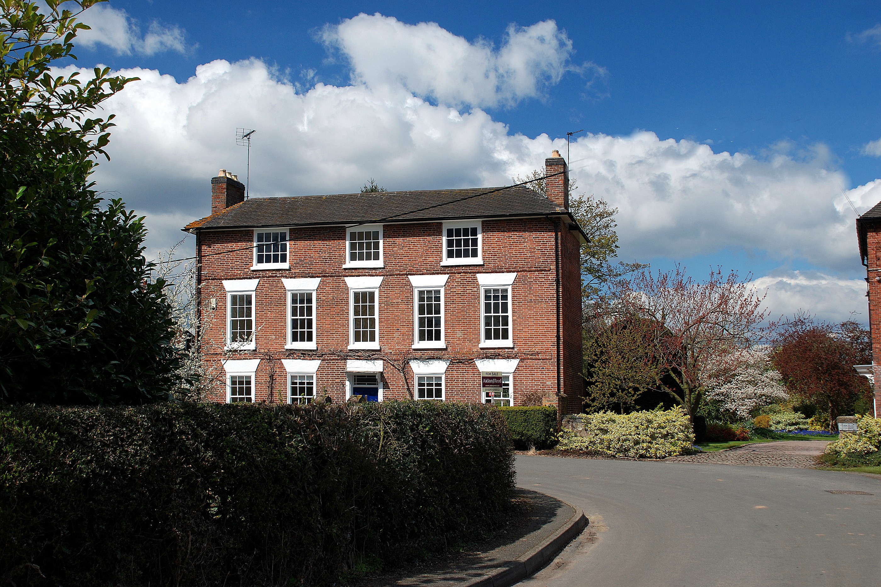
End is a quintessentially English village with a population of around 500 residents. It boasts a close-knit community, where locals are known for their friendliness and welcoming nature. The village is characterized by its picturesque buildings, many of which date back several centuries. These structures include charming thatched cottages, traditional red-brick houses, and a historic village church.

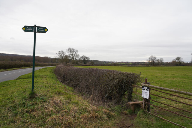
Despite its small size, End offers a few amenities to its residents. The village has a primary school, providing education for local children. Additionally, there is a local pub that serves as a gathering place for both villagers and visitors alike. The surrounding area offers plenty of opportunities for outdoor activities, such as hiking, cycling, and horse riding.

End is well-connected to nearby towns and cities. The village is easily accessible by road, with good transport links to Leicester and other surrounding areas. The nearby A47 road provides convenient access to major routes, making it easy for residents to travel further afield.

Overall, End, West Leicestershire offers a peaceful and idyllic setting for those seeking a rural lifestyle while still being within reach of urban amenities.

If you have any feedback on the listing, please let us know in the comments section below.
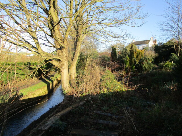
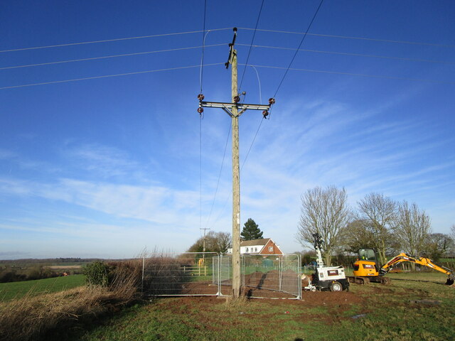
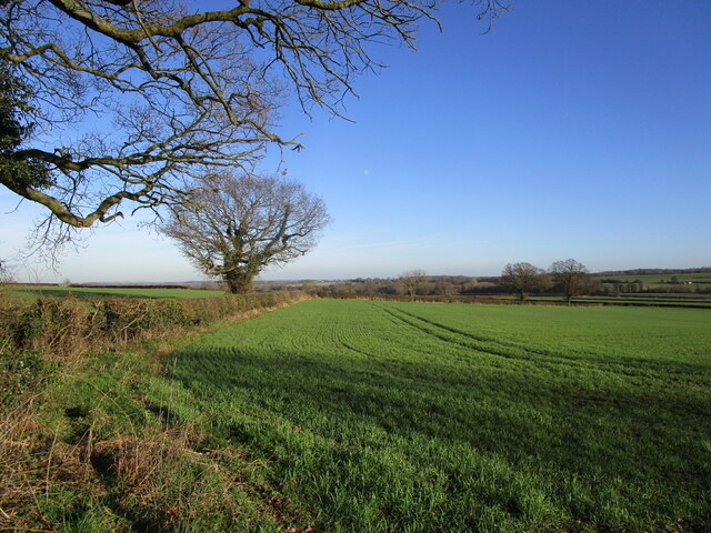
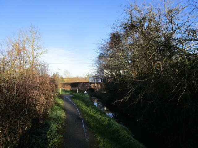
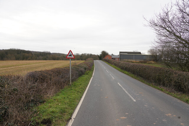
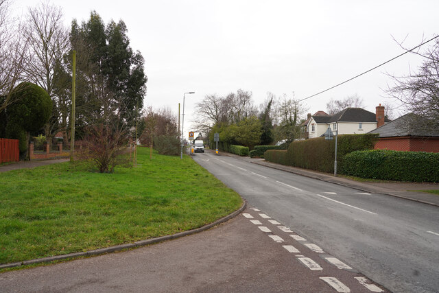
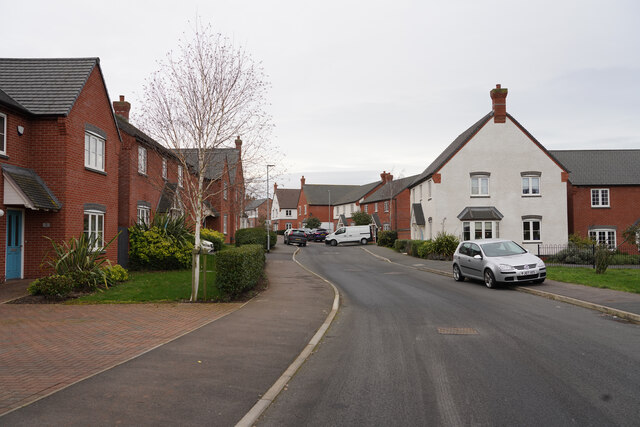
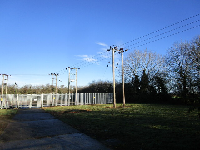
End, West Images

Images are sourced within 2km of 52.766972/-1.3789665 or Grid Reference SK4219. Thanks to Geograph Open Source API. All images are credited.

Brook at Osgathorpe
Brook at Osgathorpe
Work across the footpath On a footpath from Thringstone towards Osgathorpe.
Work across the footpath
On a footpath from Thringstone towards Osgathorpe.
Autumn sown crop off Snarrow's Road near Osgathorpe
Footpath by the brook, Osgathorpe
The Residence, Osgathorpe Built as almshouses in 1670 <span class="nowrap"><a title="https://historicengland.org.uk/listing/the-list/list-entry/1361250?section=official-listing" rel="nofollow ugc noopener" href="https://historicengland.org.uk/listing/the-list/list-entry/1361250?section=official-listing">Link</a><img style="margin-left:2px;" alt="External link" title="External link - shift click to open in new window" src="https://s1.geograph.org.uk/img/external.png" width="10" height="10"/></span>
The Residence, Osgathorpe
Built as almshouses in 1670 LinkExternal link
The Old Rectory, Osgathorpe Dates from 1837 <span class="nowrap"><a title="https://historicengland.org.uk/listing/the-list/list-entry/1177417?section=official-listing" rel="nofollow ugc noopener" href="https://historicengland.org.uk/listing/the-list/list-entry/1177417?section=official-listing">Link</a><img style="margin-left:2px;" alt="External link" title="External link - shift click to open in new window" src="https://s1.geograph.org.uk/img/external.png" width="10" height="10"/></span>
The Old Rectory, Osgathorpe
Dates from 1837 LinkExternal link
Worthington Lane Looking along Worthington Lane with rich farmland on both sides of the road.
Worthington Lane
Looking along Worthington Lane with rich farmland on both sides of the road.
Newbold Village It is obviously the day for collecting rubbish in this village as all the dustbins are out awaiting emptying.
Newbold Village
It is obviously the day for collecting rubbish in this village as all the dustbins are out awaiting emptying.
Houses in Griffydam Griffydam strikes me as a very unusual name, but presumably it has some local relevance. These are houses towards the edge of the village.
Houses in Griffydam
Griffydam strikes me as a very unusual name, but presumably it has some local relevance. These are houses towards the edge of the village.
A road junction Looking from Top Road towards the junction, the road to the left is Rempstone Road, but to the right it has changed name to Ashby Road and opposite Top Road becomes Top Brand.
A road junction
Looking from Top Road towards the junction, the road to the left is Rempstone Road, but to the right it has changed name to Ashby Road and opposite Top Road becomes Top Brand.
Ashby Road The two visible road are both part of Ashby Road. the road with the parked car has a series of houses set back from the main Ashby Road allowing easier parking.
Ashby Road
The two visible road are both part of Ashby Road. the road with the parked car has a series of houses set back from the main Ashby Road allowing easier parking.
Gracedieu Lane Looking along Gracedieu Lane past the sign for a public footpath and a style to get onot it.
Gracedieu Lane
Looking along Gracedieu Lane past the sign for a public footpath and a style to get onot it.
Close to Abbey Ford Farm The farm in the title is seen to the right of the road as look along Gracedieu Lane.
Close to Abbey Ford Farm
The farm in the title is seen to the right of the road as look along Gracedieu Lane.
Loughborough Road Standing in Springfield looking along the Loughborough Road in the village of Thringstone.
Loughborough Road
Standing in Springfield looking along the Loughborough Road in the village of Thringstone.
Griffin Road This road is on the northern edge of the village of Thringstone.
Griffin Road
This road is on the northern edge of the village of Thringstone.
Worthington primary substation
Track to Woodside Farm
Lychgate, Osgathorpe Cemetery
Show me another place!

End, West is located at Grid Ref: SK4219 (Lat: 52.766972, Lng: -1.3789665)

Administrative County: Leicestershire

District: North West Leicestershire

Police Authority: Leicestershire

What 3 Words

///impaired.revolting.peanut. Near Coalville, Leicestershire

Related Wikis

Griffydam

Griffydam is a hamlet within the parish of Worthington, Leicestershire . == History == Griffydam is most famously associated with a chalybeate well, or...

Osgathorpe

Osgathorpe is a small village which lies in a fold of the hills in North West Leicestershire, England, and is about a quarter of a mile from the A512 Coalville...

Ingles F.C.

Ingles Football Club is a football club based in Shepshed, Leicestershire, England. They are currently members of the Midland League Division One and play...

Peggs Green

Peggs Green is a hamlet within the parish of Coleorton, Leicestershire. For many years it had formed part of the civil parish of Thringstone, until this...

Gelsmoor

Gelsmoor is a hamlet within the parish of Worthington in the English county of Leicestershire. It is noted for having a 'petrifying spring' in a nineteenth...

Thringstone

Thringstone is a village in the North West Leicestershire district, in Leicestershire, England. About 3 miles (4.8 km) north of Coalville, it lies in the...
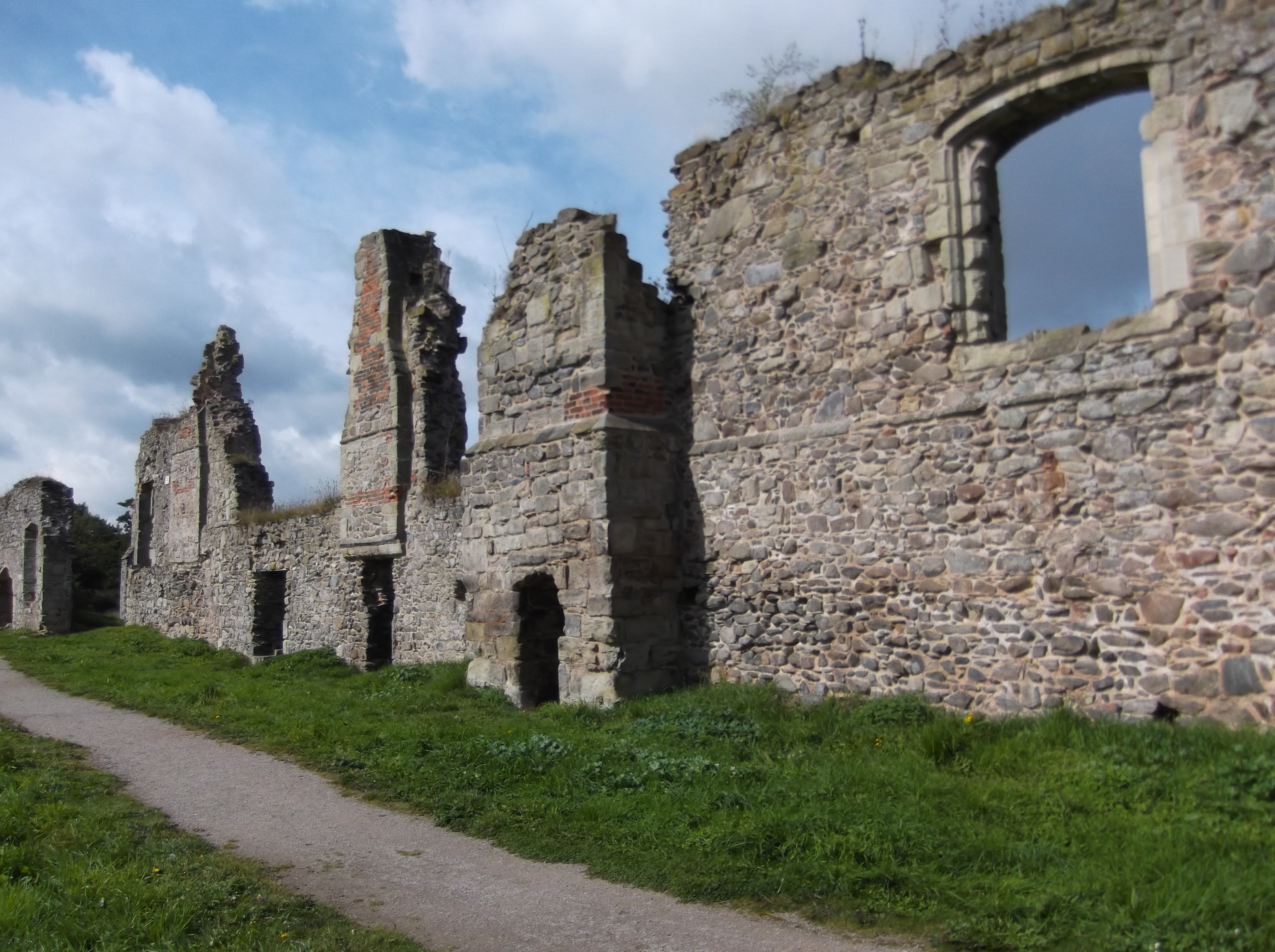
Grace Dieu Priory

The Grace Dieu Priory was an independent Augustinian priory near Thringstone in Leicestershire, England. It was founded around 1235-1241 by Roesia de...

Grace Dieu Halt railway station

Grace Dieu Halt railway station was a station on the Charnwood Forest Railway. At 52.761485°N 1.354311°E near the hamlet of Grace-Dieu, Leicestershire...

Nearby Amenities

Located within 500m of 52.766972,-1.3789665
Power: pole
Lat/Long: 52.7707449/-1.3778561
Power: pole
Lat/Long: 52.7696788/-1.3777301
Power: pole
Lat/Long: 52.7684146/-1.3775289
Power: pole
Lat/Long: 52.7672007/-1.3773572
Power: pole
Lat/Long: 52.7662984/-1.3772258
Power: pole
Lat/Long: 52.7647485/-1.3769254
Power: pole
Lat/Long: 52.7642437/-1.3768342
Power: pole
Lat/Long: 52.7635474/-1.3767725
Power: pole
Lat/Long: 52.7627392/-1.3767242
The data included in this document is from www.openstreetmap.org. The data is made available under ODbL.

Have you been to End, West?

Leave your review of End, West below (or comments, questions and feedback).