Osgathorpe

Settlement in Leicestershire North West Leicestershire

England

Osgathorpe

Brook at Osgathorpe
Brook at Osgathorpe Credit: Jonathan Thacker

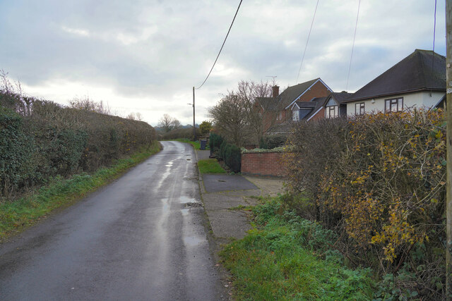
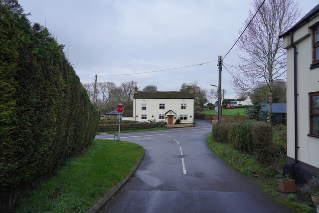
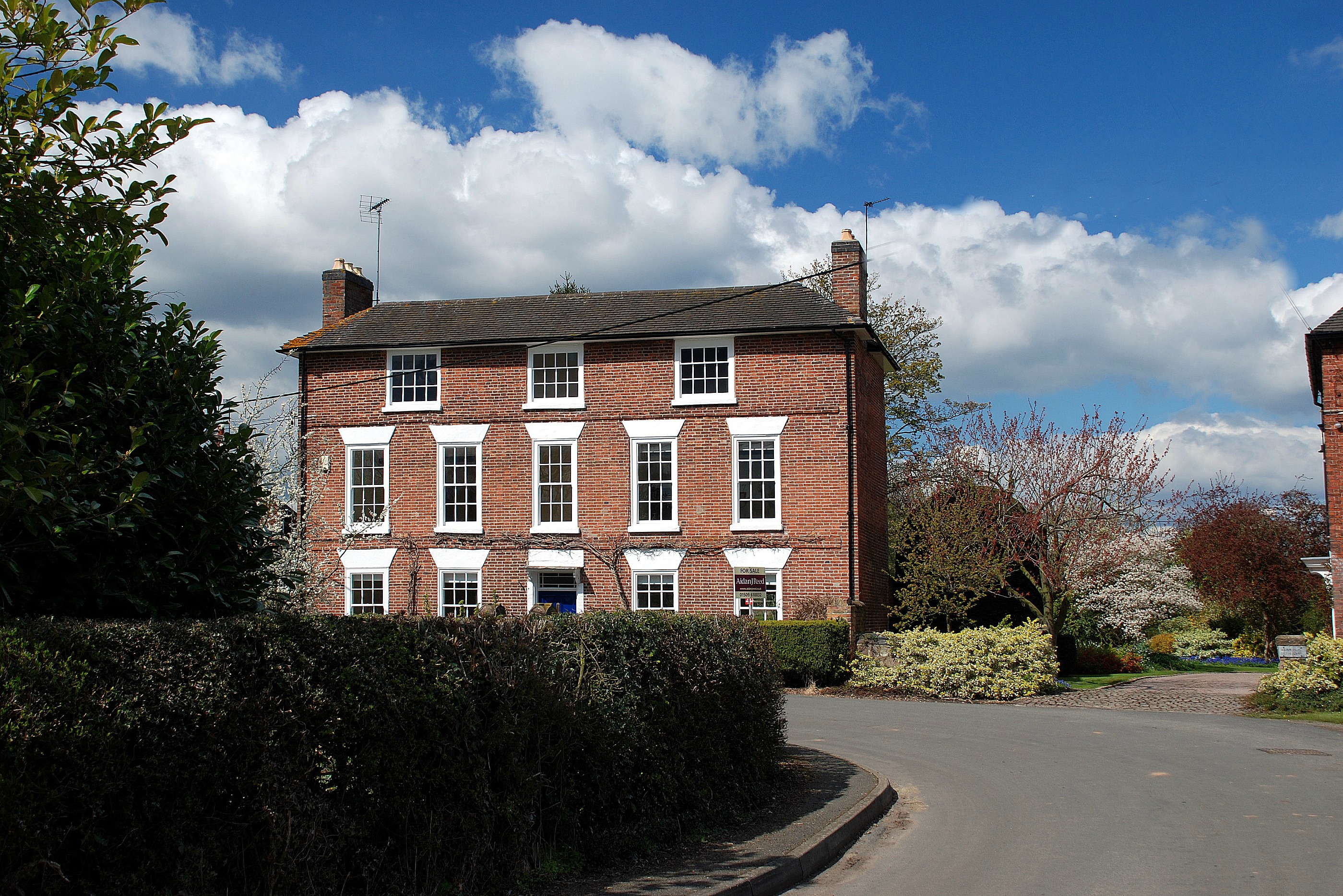
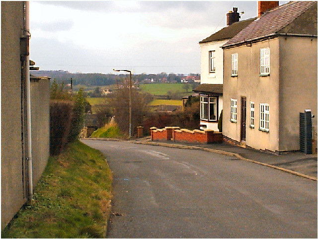
Osgathorpe is a small village located in the North West Leicestershire district of Leicestershire, England. It is situated approximately 12 miles northwest of the city of Leicester, and just over 2 miles east of the town of Ashby-de-la-Zouch. The village is nestled in the countryside, surrounded by rolling hills and picturesque landscapes.

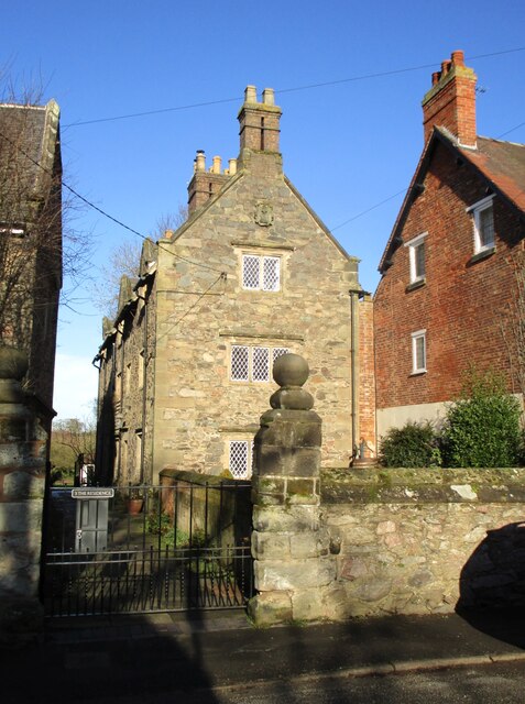
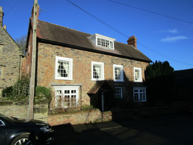
With a population of around 500 people, Osgathorpe has a close-knit community that offers a peaceful and tranquil living environment. The village is characterized by its charming cottages and traditional architecture, which give it a timeless and idyllic feel.

Despite its small size, Osgathorpe offers a range of amenities for its residents. These include a village hall, a primary school, a church, and a pub, providing the essential services and facilities needed for day-to-day life. The village also benefits from excellent transport links, with easy access to major road networks such as the A42 and M1 motorway.

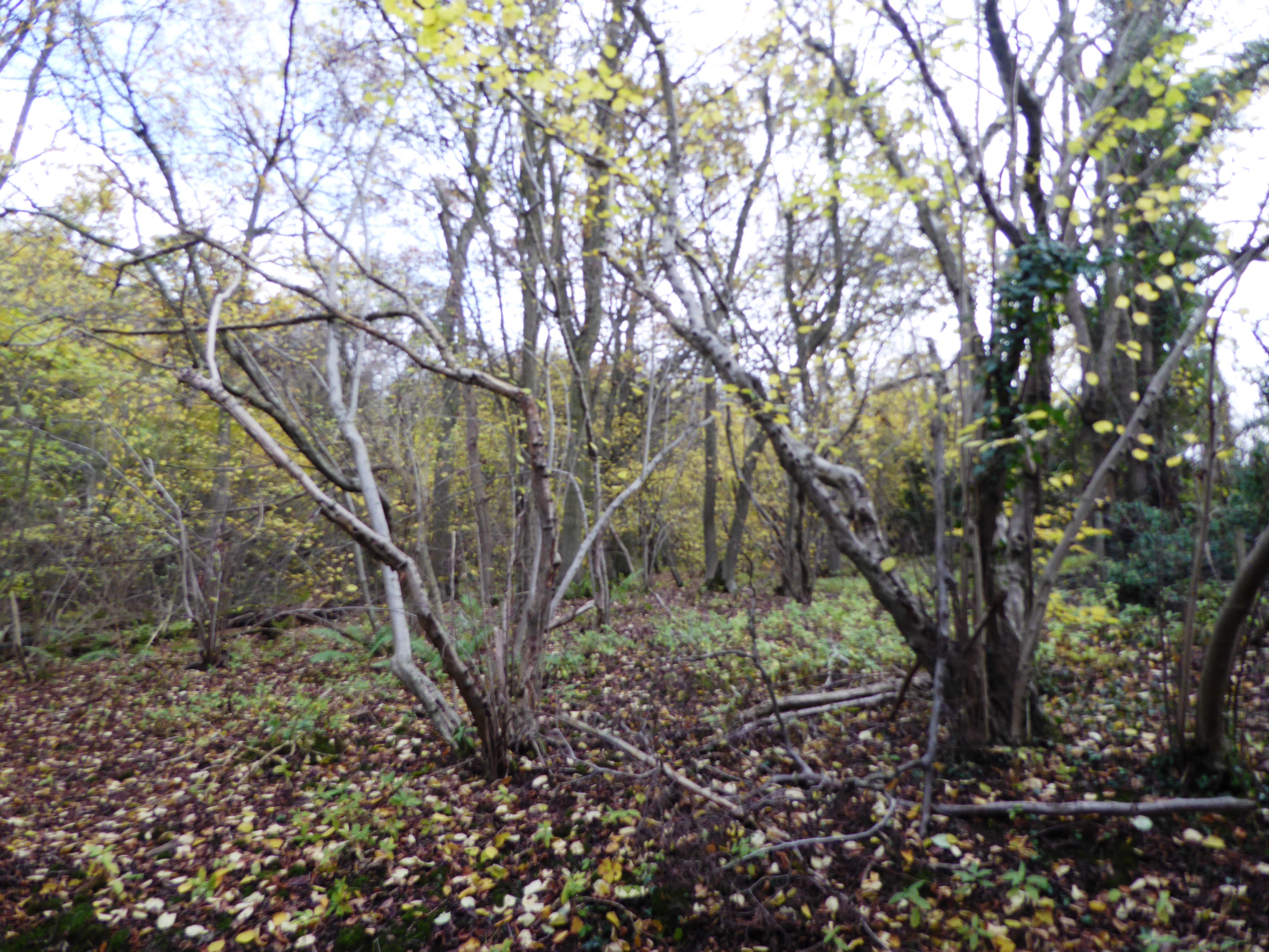
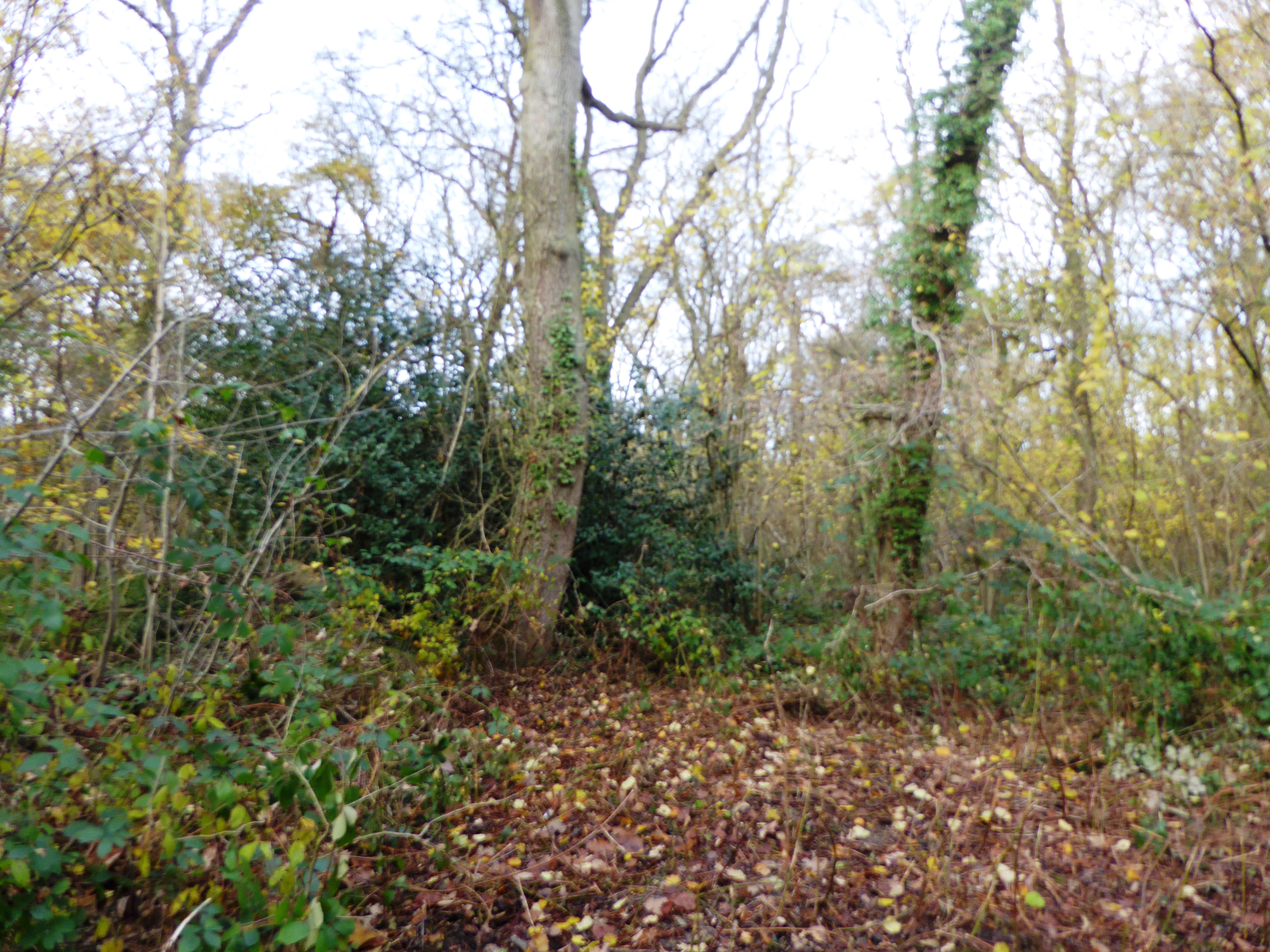
Surrounded by countryside, Osgathorpe offers ample opportunities for outdoor activities and leisure pursuits. The nearby National Forest provides beautiful walking and cycling trails, and the nearby Hicks Lodge National Forest Cycle Centre offers a range of family-friendly activities.

Overall, Osgathorpe is a charming and peaceful village that offers a close community, beautiful surroundings, and convenient access to amenities and transport links. It is an ideal choice for those seeking a rural lifestyle while still being within easy reach of larger towns and cities.

If you have any feedback on the listing, please let us know in the comments section below.
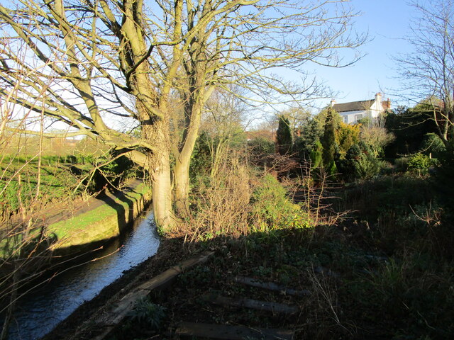
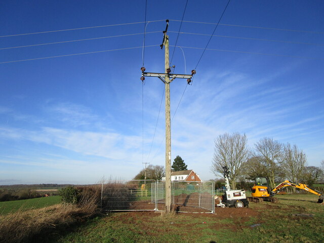
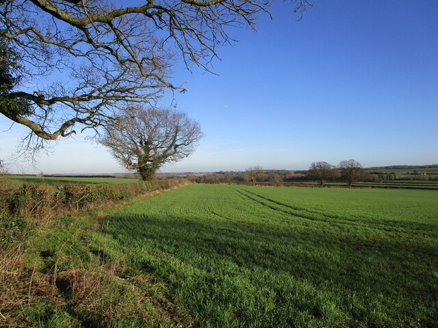
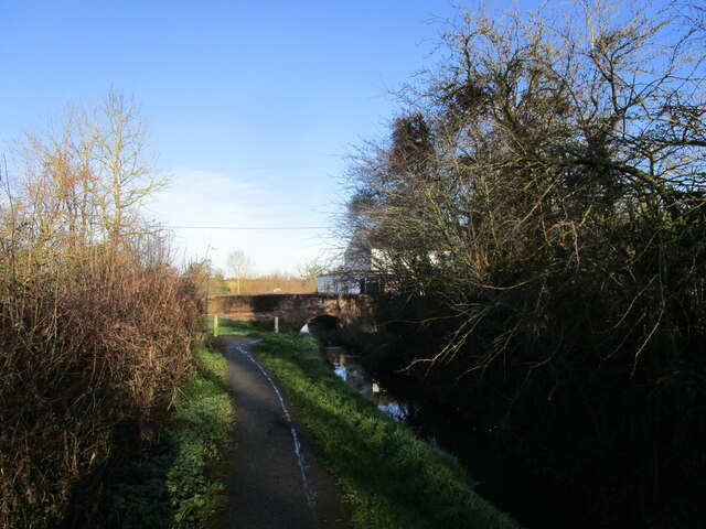
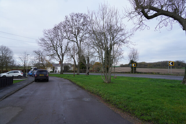
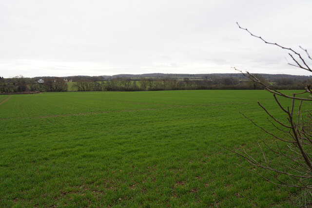
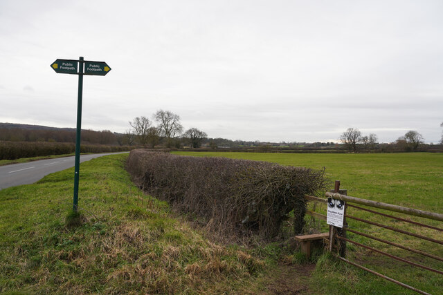
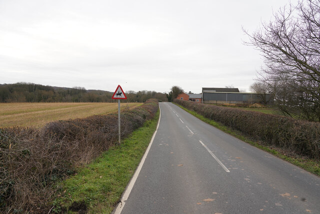
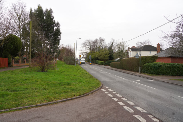
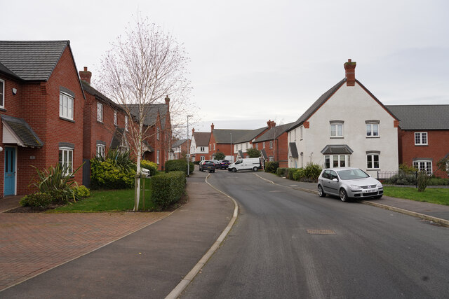
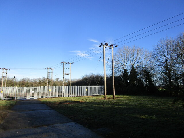
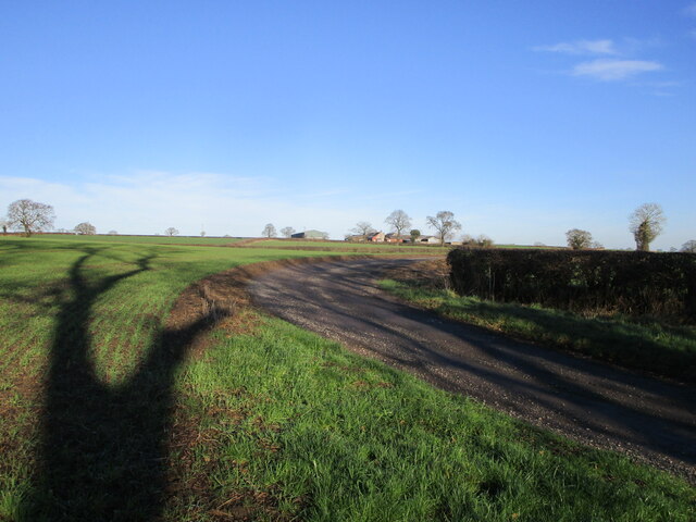
Osgathorpe Images

Images are sourced within 2km of 52.772053/-1.372043 or Grid Reference SK4219. Thanks to Geograph Open Source API. All images are credited.

Brook at Osgathorpe
Brook at Osgathorpe
Work across the footpath On a footpath from Thringstone towards Osgathorpe.
Work across the footpath
On a footpath from Thringstone towards Osgathorpe.
Autumn sown crop off Snarrow's Road near Osgathorpe
Footpath by the brook, Osgathorpe
Field off Grace Dieu Lane
The Residence, Osgathorpe Built as almshouses in 1670 <span class="nowrap"><a title="https://historicengland.org.uk/listing/the-list/list-entry/1361250?section=official-listing" rel="nofollow ugc noopener" href="https://historicengland.org.uk/listing/the-list/list-entry/1361250?section=official-listing">Link</a><img style="margin-left:2px;" alt="External link" title="External link - shift click to open in new window" src="https://s1.geograph.org.uk/img/external.png" width="10" height="10"/></span>
The Residence, Osgathorpe
Built as almshouses in 1670 LinkExternal link
The Old Rectory, Osgathorpe Dates from 1837 <span class="nowrap"><a title="https://historicengland.org.uk/listing/the-list/list-entry/1177417?section=official-listing" rel="nofollow ugc noopener" href="https://historicengland.org.uk/listing/the-list/list-entry/1177417?section=official-listing">Link</a><img style="margin-left:2px;" alt="External link" title="External link - shift click to open in new window" src="https://s1.geograph.org.uk/img/external.png" width="10" height="10"/></span>
The Old Rectory, Osgathorpe
Dates from 1837 LinkExternal link
Houses in Griffydam Griffydam strikes me as a very unusual name, but presumably it has some local relevance. These are houses towards the edge of the village.
Houses in Griffydam
Griffydam strikes me as a very unusual name, but presumably it has some local relevance. These are houses towards the edge of the village.
A road junction Looking from Top Road towards the junction, the road to the left is Rempstone Road, but to the right it has changed name to Ashby Road and opposite Top Road becomes Top Brand.
A road junction
Looking from Top Road towards the junction, the road to the left is Rempstone Road, but to the right it has changed name to Ashby Road and opposite Top Road becomes Top Brand.
Ashby Road The two visible road are both part of Ashby Road. the road with the parked car has a series of houses set back from the main Ashby Road allowing easier parking.
Ashby Road
The two visible road are both part of Ashby Road. the road with the parked car has a series of houses set back from the main Ashby Road allowing easier parking.
Fresh growth in the field It is only February but the warm sunny weather appears to have stimulated the growth of the crop.
Fresh growth in the field
It is only February but the warm sunny weather appears to have stimulated the growth of the crop.
Gracedieu Lane Looking along Gracedieu Lane past the sign for a public footpath and a style to get onot it.
Gracedieu Lane
Looking along Gracedieu Lane past the sign for a public footpath and a style to get onot it.
Close to Abbey Ford Farm The farm in the title is seen to the right of the road as look along Gracedieu Lane.
Close to Abbey Ford Farm
The farm in the title is seen to the right of the road as look along Gracedieu Lane.
Loughborough Road Standing in Springfield looking along the Loughborough Road in the village of Thringstone.
Loughborough Road
Standing in Springfield looking along the Loughborough Road in the village of Thringstone.
Griffin Road This road is on the northern edge of the village of Thringstone.
Griffin Road
This road is on the northern edge of the village of Thringstone.
Autumn sown crop near Cloud Wood
Worthington primary substation
Track to Woodside Farm
Show me another place!

Osgathorpe is located at Grid Ref: SK4219 (Lat: 52.772053, Lng: -1.372043)

Administrative County: Leicestershire

District: North West Leicestershire

Police Authority: Leicestershire

What 3 Words

///demand.layered.reckoned. Near Coalville, Leicestershire

Related Wikis

Osgathorpe

Osgathorpe is a small village which lies in a fold of the hills in North West Leicestershire, England, and is about a quarter of a mile from the A512 Coalville...

Griffydam

Griffydam is a hamlet within the parish of Worthington, Leicestershire . == History == Griffydam is most famously associated with a chalybeate well, or...

Grace Dieu Priory

The Grace Dieu Priory was an independent Augustinian priory near Thringstone in Leicestershire, England. It was founded around 1235-1241 by Roesia de...

Grace Dieu Halt railway station

Grace Dieu Halt railway station was a station on the Charnwood Forest Railway. At 52.761485°N 1.354311°E near the hamlet of Grace-Dieu, Leicestershire...

Ingles F.C.

Ingles Football Club is a football club based in Shepshed, Leicestershire, England. They are currently members of the Midland League Division One and play...

Breedon Cloud Wood and Quarry

Breedon Cloud Wood and Quarry is a 63.3 hectares (156 acres) biological and geological Site of Special Scientific Interest north-east of Worthington in...

Thringstone

Thringstone is a village in the North West Leicestershire district, in Leicestershire, England. About 3 miles (4.8 km) north of Coalville, it lies in the...

Pasture and Asplin Woods

Pasture and Asplin Woods is a 40.9 hectares (101 acres) biological Site of Special Scientific Interest west of Belton in Leicestershire.These ancient woods...

Nearby Amenities

Located within 500m of 52.772053,-1.372043
Osgathorpe
Is In Country: UK
Is In County: Leicestershire
Place: village
Wikidata: Q7106521
Wikipedia: en:Osgathorpe
Lat/Long: 52.7713409/-1.3660222
Storey Arms
Naptan AtcoCode: 260015001
Naptan Bearing: W
Naptan BusStopType: CUS
Naptan CommonName: Storey Arms
Naptan Indicator: outside
Naptan Landmark: Storey Arms
Naptan NaptanCode: leijgmwd
Naptan Notes: Non-Hourly - County
Naptan Street: Main Street
Naptan Verified: no
Source: naptan_import
Lat/Long: 52.7702276/-1.3690052
The Storey Arms
Addr City: Loughborough
Addr Housenumber: 41
Addr Postcode: LE12 9TA
Addr Street: Main Street
Addr Village: Osgathorpe
Disused Amenity: pub
Note: Website is for the Save The Storey Arms campaign
Website: https://www.thestoreyarms.co.uk/
Lat/Long: 52.7701886/-1.3692471
Power: pole
Lat/Long: 52.77265/-1.3780975
Power: pole
Lat/Long: 52.7715044/-1.3779286
Power: pole
Lat/Long: 52.7707449/-1.3778561
Power: pole
Lat/Long: 52.7696788/-1.3777301
Public Bookcase
Osgathorpe Community Library
Booth: K6
Disused Amenity: telephone
Man Made: telephone_box
Public Bookcase Type: phone_box
Lat/Long: 52.7703658/-1.3692774
Post Box
Post Box Type: lamp
Lat/Long: 52.7703853/-1.3694678
The data included in this document is from www.openstreetmap.org. The data is made available under ODbL.

Have you been to Osgathorpe?

Leave your review of Osgathorpe below (or comments, questions and feedback).