Craigend, West

Settlement in Renfrewshire

Scotland

Craigend, West

The Rashilee Light A navigation beacon on the south bank of the River Clyde. The green compressed gas cylinder used to power the light, but it is now powered by a small solar panel on the southwest side at the top beside the light. See Canmore <span class="nowrap"><a title="https://canmore.org.uk/site/350802/river-clyde-rashilee-light" rel="nofollow ugc noopener" href="https://canmore.org.uk/site/350802/river-clyde-rashilee-light">Link</a><img style="margin-left:2px;" alt="External link" title="External link - shift click to open in new window" src="https://s1.geograph.org.uk/img/external.png" width="10" height="10"/></span>.
The Rashilee Light Credit: Richard Sutcliffe

Craigend is a small village located in the West Renfrewshire region of Scotland. Situated on the outskirts of Glasgow, it is nestled between the towns of Paisley and Johnstone. With a population of around 3,000 residents, Craigend offers a peaceful and close-knit community atmosphere.

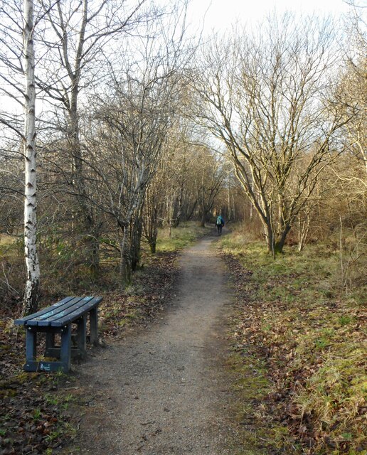
The village is known for its picturesque surroundings, surrounded by lush greenery and rolling hills. It boasts stunning views of the nearby Gleniffer Braes Country Park, which is a popular destination for outdoor enthusiasts and nature lovers. The park offers various walking trails, picnic spots, and panoramic views of the surrounding countryside.

Craigend is well-connected to the nearby towns and cities, with easy access to major transportation routes. The village is served by several bus routes, providing convenient links to surrounding areas. The nearby Johnstone railway station offers regular train services to Glasgow and other parts of Scotland.

In terms of amenities, Craigend has a range of local shops and services, including a small supermarket, post office, and a few independent businesses. Residents also have access to local schools, healthcare facilities, and recreational spaces, ensuring a comfortable and convenient lifestyle.

Overall, Craigend, West Renfrewshire, offers a tranquil and scenic living environment with easy access to nearby towns and cities. Its beautiful surroundings and friendly community make it an attractive place to reside for those seeking a balance between rural living and urban convenience.

If you have any feedback on the listing, please let us know in the comments section below.

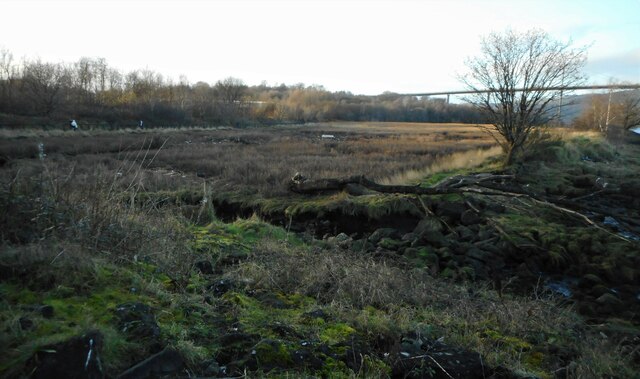
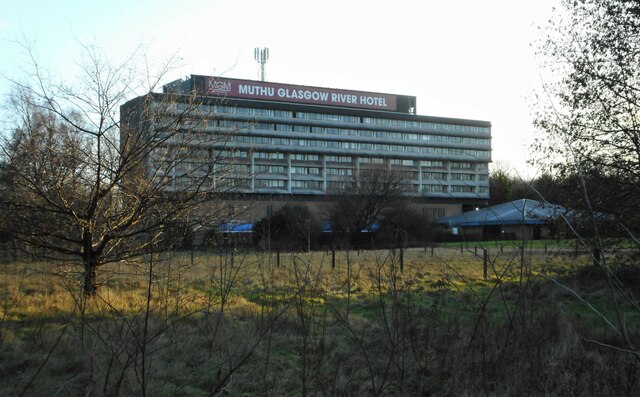
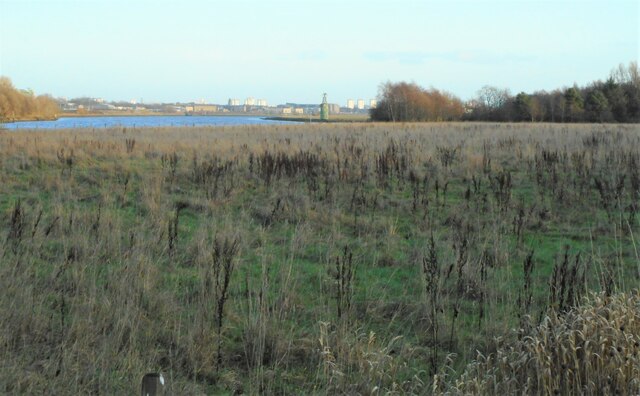
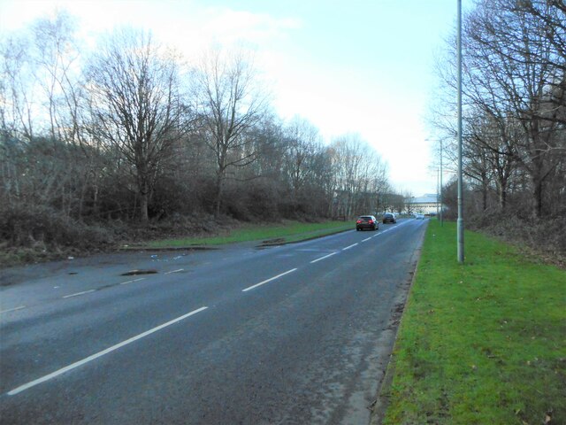
Craigend, West Images

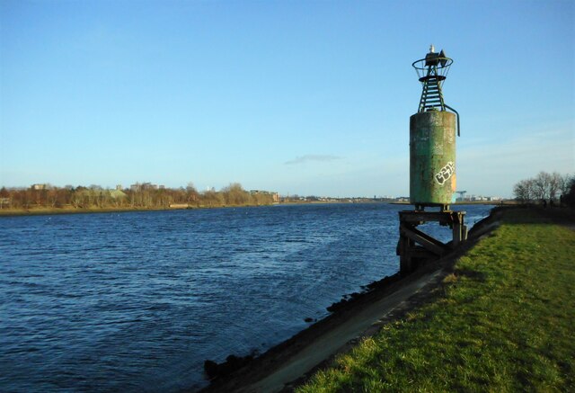
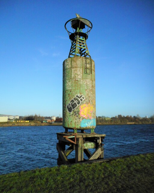
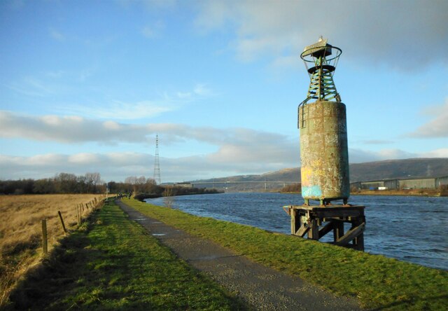
Images are sourced within 2km of 55.898738/-4.4711925 or Grid Reference NS4570. Thanks to Geograph Open Source API. All images are credited.

The Rashilee Light A navigation beacon on the south bank of the River Clyde. The green compressed gas cylinder used to power the light, but it is now powered by a small solar panel on the southwest side at the top beside the light. See Canmore <span class="nowrap"><a title="https://canmore.org.uk/site/350802/river-clyde-rashilee-light" rel="nofollow ugc noopener" href="https://canmore.org.uk/site/350802/river-clyde-rashilee-light">Link</a><img style="margin-left:2px;" alt="External link" title="External link - shift click to open in new window" src="https://s1.geograph.org.uk/img/external.png" width="10" height="10"/></span>.
The Rashilee Light
A navigation beacon on the south bank of the River Clyde. The green compressed gas cylinder used to power the light, but it is now powered by a small solar panel on the southwest side at the top beside the light. See Canmore LinkExternal link.
The Rashilee Light A navigation beacon on the south bank of the River Clyde. The green compressed gas cylinder used to power the light, but it is now powered by a small solar panel on the southwest side at the top beside the light. See Canmore <span class="nowrap"><a title="https://canmore.org.uk/site/350802/river-clyde-rashilee-light" rel="nofollow ugc noopener" href="https://canmore.org.uk/site/350802/river-clyde-rashilee-light">Link</a><img style="margin-left:2px;" alt="External link" title="External link - shift click to open in new window" src="https://s1.geograph.org.uk/img/external.png" width="10" height="10"/></span>.

The Erskine Bridge is visible in the distance.
The Rashilee Light
A navigation beacon on the south bank of the River Clyde. The green compressed gas cylinder used to power the light, but it is now powered by a small solar panel on the southwest side at the top beside the light. See Canmore LinkExternal link. The Erskine Bridge is visible in the distance.
Flaking paint and graffiti The green paint on the compressed gas cylinder used to power the Rashilee Light <a href="https://www.geograph.org.uk/photo/7072343">NS4770 : The Rashilee Light</a> is flaking and has also been covered by some colourful graffiti.
Flaking paint and graffiti
The green paint on the compressed gas cylinder used to power the Rashilee Light NS4770 : The Rashilee Light is flaking and has also been covered by some colourful graffiti.
Park Quay Disused quay on the River Clyde.
Park Quay
Disused quay on the River Clyde.
Sign for Newshot Island Local Nature Reserve Erskine's only Nature Reserve. The Inner Clyde estuary is an internationally designated site for the protection of wintering wading birds.
Sign for Newshot Island Local Nature Reserve
Erskine's only Nature Reserve. The Inner Clyde estuary is an internationally designated site for the protection of wintering wading birds.
Clearing, Newshot Island LNR A clearing within the wooded area of Newshot Island Local Nature Reserve.
Clearing, Newshot Island LNR
A clearing within the wooded area of Newshot Island Local Nature Reserve.
Footpath beside Newshot Island LNR The footpath goes past the edge of Newshot Island Local Nature Reserve and leads to Newshot Drive.
Footpath beside Newshot Island LNR
The footpath goes past the edge of Newshot Island Local Nature Reserve and leads to Newshot Drive.
Footpath, Newshot Island Local Nature Reserve
Bonded warehouses Some of the many bonded warehouses beside the River Clyde at Dalmuir.
Bonded warehouses
Some of the many bonded warehouses beside the River Clyde at Dalmuir.
Electricity pylon An extra-tall and sturdy pylon on the south side of the River Clyde, carrying power lines across the river.
Electricity pylon
An extra-tall and sturdy pylon on the south side of the River Clyde, carrying power lines across the river.
Muthu Glasgow River Hotel Formerly the Erskine Bridge Hotel. Seen from the rear.
Muthu Glasgow River Hotel
Formerly the Erskine Bridge Hotel. Seen from the rear.
So-called Erskine Harbour Although marked on some maps as 'Erskine Harbour', this marshy area has never been a harbour. A training wall along the side of the River Clyde has probably been mistaken for a harbour wall in the past. See Lairich Rig's detailed explanation at <a href="https://www.geograph.org.uk/photo/5376204">NS4671 : The mouth of the so-called Erskine Harbour</a>.
So-called Erskine Harbour
Although marked on some maps as 'Erskine Harbour', this marshy area has never been a harbour. A training wall along the side of the River Clyde has probably been mistaken for a harbour wall in the past. See Lairich Rig's detailed explanation at NS4671 : The mouth of the so-called Erskine Harbour.
Muthu Glasgow River Hotel Formerly the Erskine Bridge Hotel.
Muthu Glasgow River Hotel
Formerly the Erskine Bridge Hotel.
Rough grassland Looking towards the River Clyde and the Rashilee Light.
Rough grassland
Looking towards the River Clyde and the Rashilee Light.
Kilpatrick Drive Pandamonium Play Centre can just be seen in the distance.
Kilpatrick Drive
Pandamonium Play Centre can just be seen in the distance.
Barrangary Road Near the shops within the Dargavel Village housing development on the former ROF Bishopton site.
Barrangary Road
Near the shops within the Dargavel Village housing development on the former ROF Bishopton site.
Bishopton railway station Ramped and stepped access to the West bound platform from Station Road.
Bishopton railway station
Ramped and stepped access to the West bound platform from Station Road.
Show me another place!

Craigend, West is located at Grid Ref: NS4570 (Lat: 55.898738, Lng: -4.4711925)

Unitary Authority: Renfrewshire

Police Authority: Renfrewshire and Inverclyde

What 3 Words

///flips.spices.clattered. Near Erskine, Renfrewshire

Related Wikis

Lamont Farm

Lamont Farm Project is based in Erskine, Renfrewshire. It is a city farm which is open to the public. == History == Lamont Farm Project was founded in...

Park Mains High School

Park Mains High School is a secondary school in Erskine, Renfrewshire. It is one of the biggest schools in Scotland. As well as taking in students from...

Erskine

Erskine (, Scots: Erskin, Scottish Gaelic: Arasgain) is a town in the council area of Renfrewshire, and historic county of the same name, situated in the...

Erskine Bridge

The Erskine Bridge is a multi span cable-stayed box girder bridge spanning the River Clyde in west central Scotland. The bridge connects West Dunbartonshire...

Nearby Amenities

Located within 500m of 55.898738,-4.4711925
Power: tower
Source: Bing
Lat/Long: 55.8990954/-4.4775529
Power: tower
Source: Bing
Lat/Long: 55.8982105/-4.4718466
Power: tower
Source: Bing
Lat/Long: 55.8975682/-4.4677046
Turning Circle
Lat/Long: 55.8990017/-4.4684779
Turning Circle
Lat/Long: 55.9016583/-4.4679377
Turning Circle
Lat/Long: 55.9026801/-4.4702019
Linburn
Place: suburb
Lat/Long: 55.9015905/-4.4729687
Craigend
Place: suburb
Lat/Long: 55.89938/-4.4670538
Power: pole
Lat/Long: 55.8996092/-4.4782009
Turning Circle
Lat/Long: 55.898608/-4.4669496
The data included in this document is from www.openstreetmap.org. The data is made available under ODbL.

Have you been to Craigend, West?

Leave your review of Craigend, West below (or comments, questions and feedback).