Shilton Plantation
Downs, Moorland in Renfrewshire
Scotland
Shilton Plantation

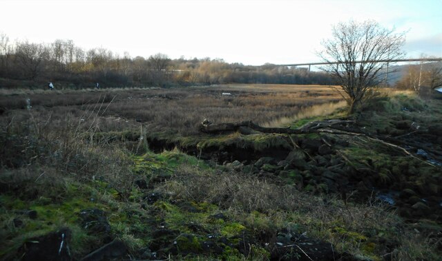
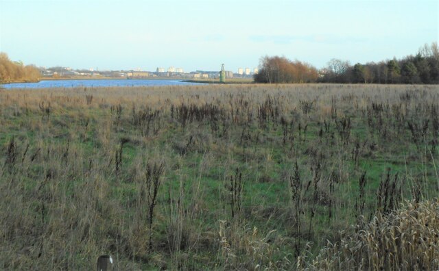
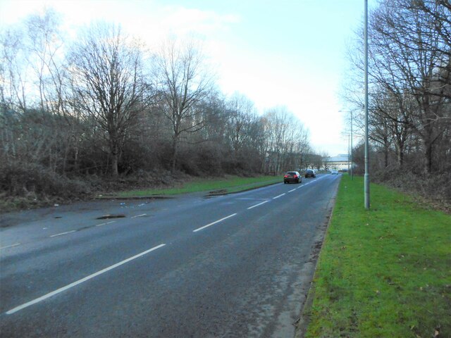
Shilton Plantation is a scenic area located in Renfrewshire, Scotland. Nestled amidst the Downs and Moorland, this beautiful plantation spans a vast expanse of land, encompassing a variety of natural features and offering a tranquil retreat for nature enthusiasts.
The plantation is renowned for its diverse flora and fauna, boasting a rich ecosystem that supports numerous species of plants and animals. Visitors can explore the lush greenery, with an abundance of trees, including oak, birch, and pine, creating a picturesque landscape. The plantation is also home to various wildflowers, adding a splash of color to the surroundings.
The Downs in Shilton Plantation provide rolling hills and elevated viewpoints, offering visitors breathtaking vistas of the surrounding countryside. The Moorland, on the other hand, features open expanses of heather and grasses, creating a unique and striking contrast to the rest of the landscape.
Walking trails and footpaths wind their way through the plantation, allowing visitors to immerse themselves in the natural beauty and tranquility of the area. Wildlife enthusiasts will have the opportunity to spot a wide array of animals, including red squirrels, deer, and various bird species.
Shilton Plantation is a popular destination for those seeking a peaceful retreat and a chance to reconnect with nature. Its combination of Downs and Moorland, along with its diverse flora and fauna, make it a truly remarkable and captivating place to visit in Renfrewshire.
If you have any feedback on the listing, please let us know in the comments section below.
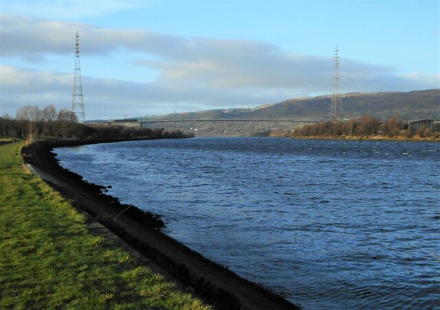
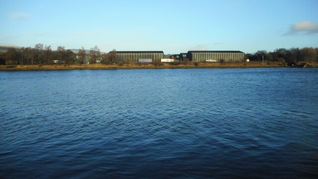
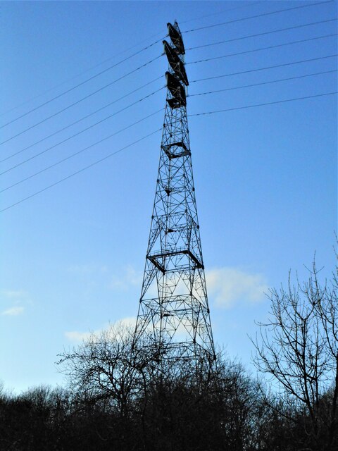
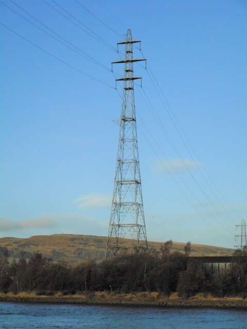
Shilton Plantation Images
Images are sourced within 2km of 55.903991/-4.4763266 or Grid Reference NS4570. Thanks to Geograph Open Source API. All images are credited.


Shilton Plantation is located at Grid Ref: NS4570 (Lat: 55.903991, Lng: -4.4763266)
Unitary Authority: Renfrewshire
Police Authority: Renfrewshire and Inverclyde
What 3 Words
///fearfully.shining.slips. Near Erskine, Renfrewshire
Nearby Locations
Related Wikis

Erskine
Erskine (, Scots: Erskin, Scottish Gaelic: Arasgain) is a town in the council area of Renfrewshire, and historic county of the same name, situated in the...

Erskine Bridge
The Erskine Bridge is a multi span cable-stayed box girder bridge spanning the River Clyde in west central Scotland. The bridge connects West Dunbartonshire...

Park Mains High School
Park Mains High School is a secondary school in Erskine, Renfrewshire. It is one of the biggest schools in Scotland. As well as taking in students from...

Lamont Farm
Lamont Farm Project is based in Erskine, Renfrewshire. It is a city farm which is open to the public. == History == Lamont Farm Project was founded in...

Erskine (charity)
Erskine is a veterans care and support charity headquartered in Erskine, Renfrewshire, but operating across the Central Belt of Scotland. It provides a...

Bishopton railway station
Bishopton railway station serves the village of Bishopton in Renfrewshire, Scotland. The station is on the Inverclyde line, 13 miles (21 km) west of Glasgow...

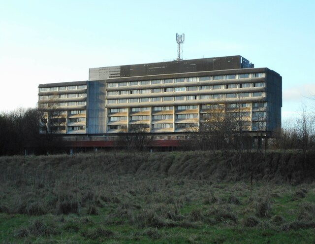
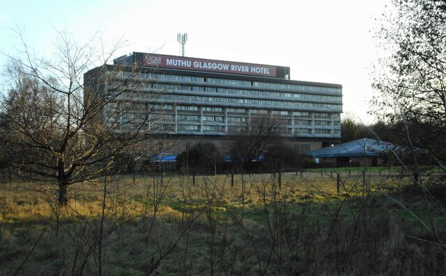
Erskine Bridge Hotel & Spa
The MGM Muthu Glasgow River Hotel, formerly the Erskine Bridge Hotel & Spa is situated on the banks of the River Clyde in Erskine, Renfrewshire. The hotel...

ROF Bishopton
The Royal Ordnance Factory was a WW2 Ministry of Supply Explosive Factory. It is sited adjacent to the village of Bishopton in Renfrewshire, Scotland....
Nearby Amenities
Located within 500m of 55.903991,-4.4763266Have you been to Shilton Plantation?
Leave your review of Shilton Plantation below (or comments, questions and feedback).