Linburn
Settlement in Renfrewshire
Scotland
Linburn
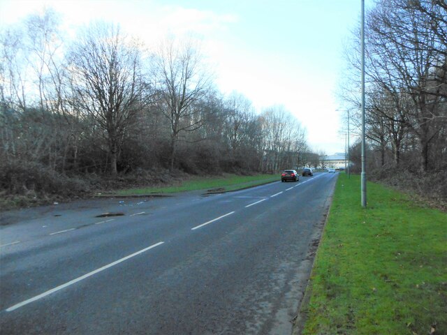
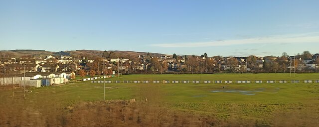
Linburn is a small village located in the historic county of Renfrewshire, Scotland. Situated approximately 7 miles west of Glasgow, it is nestled amidst the picturesque countryside and is surrounded by lush green fields and rolling hills. Linburn is part of the larger town of Erskine and lies adjacent to the River Clyde.
The village is known for its serene and tranquil atmosphere, making it an ideal residential area for those seeking a peaceful lifestyle away from the hustle and bustle of city life. Linburn offers a range of housing options, from quaint cottages to modern houses, catering to various needs and preferences.
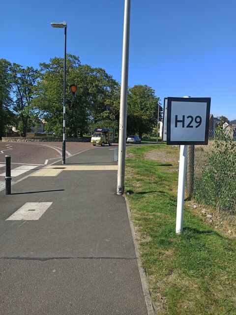
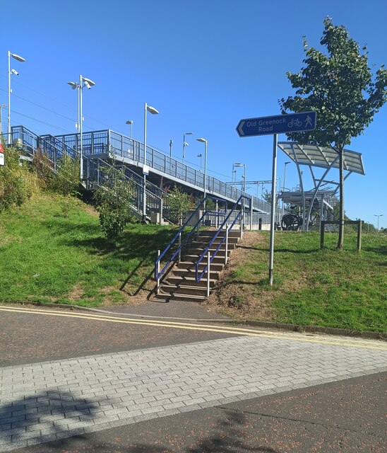
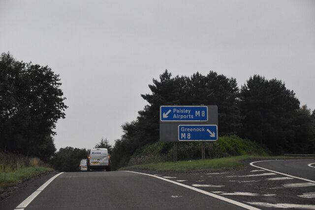
Linburn is well-connected to the nearby towns and cities through excellent transportation links. The M8 motorway is easily accessible, providing convenient access to Glasgow and other major cities in the region. The village is also served by regular bus services, ensuring ease of travel for residents.
Despite its small size, Linburn boasts a close-knit community, with a friendly and welcoming atmosphere. The village has a primary school, providing education for local children, while further amenities such as shops, restaurants, and recreational facilities can be found in nearby Erskine.
The surrounding area offers a plethora of outdoor activities, with ample opportunities for hiking, cycling, and exploring the beautiful Scottish countryside. The nearby Erskine Bridge provides stunning views of the River Clyde and is a popular spot for photography enthusiasts.
Overall, Linburn is a charming and idyllic village that offers a peaceful setting, natural beauty, and a strong sense of community, making it an attractive place to live for individuals and families alike.
If you have any feedback on the listing, please let us know in the comments section below.
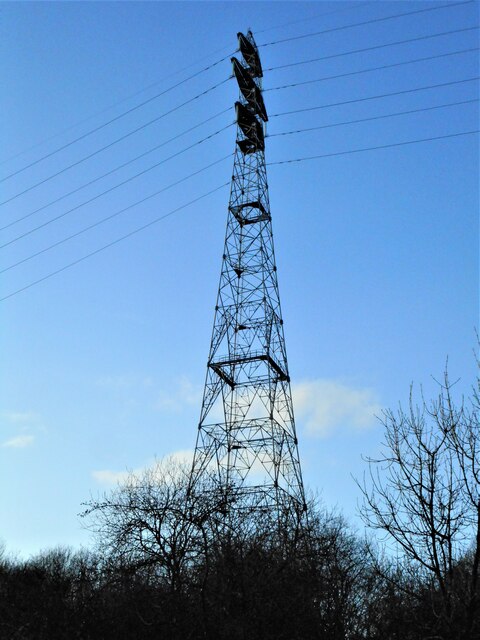
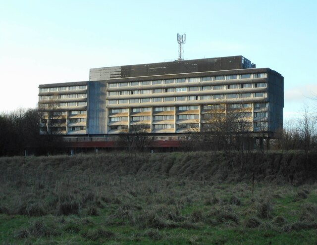
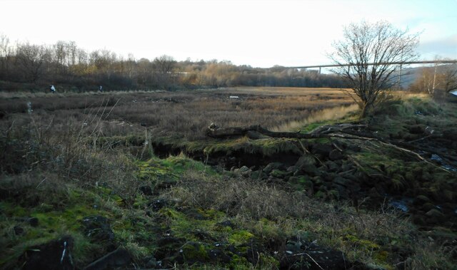
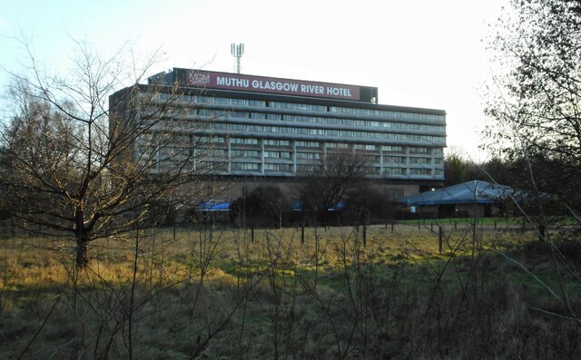
Linburn Images
Images are sourced within 2km of 55.900591/-4.478359 or Grid Reference NS4570. Thanks to Geograph Open Source API. All images are credited.


Linburn is located at Grid Ref: NS4570 (Lat: 55.900591, Lng: -4.478359)
Unitary Authority: Renfrewshire
Police Authority: Renfrewshire and Inverclyde
What 3 Words
///loosed.haunt.solution. Near Erskine, Renfrewshire
Nearby Locations
Related Wikis

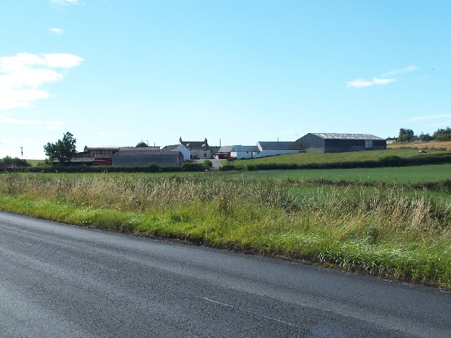
Lamont Farm
Lamont Farm Project is based in Erskine, Renfrewshire. It is a city farm which is open to the public. == History == Lamont Farm Project was founded in...

Erskine
Erskine (, Scots: Erskin, Scottish Gaelic: Arasgain) is a town in the council area of Renfrewshire, and historic county of the same name, situated in the...

Park Mains High School
Park Mains High School is a secondary school in Erskine, Renfrewshire. It is one of the biggest schools in Scotland. As well as taking in students from...

Bishopton railway station
Bishopton railway station serves the village of Bishopton in Renfrewshire, Scotland. The station is on the Inverclyde line, 13 miles (21 km) west of Glasgow...

Erskine Bridge
The Erskine Bridge is a multi span cable-stayed box girder bridge spanning the River Clyde in west central Scotland. The bridge connects West Dunbartonshire...

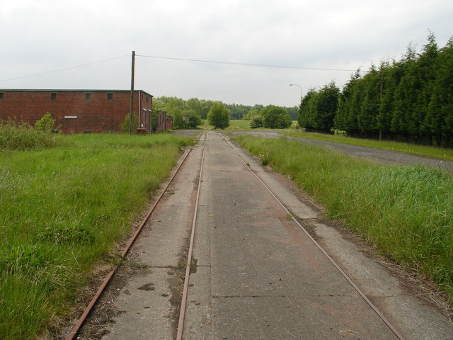
ROF Bishopton
The Royal Ordnance Factory was a WW2 Ministry of Supply Explosive Factory. It is sited adjacent to the village of Bishopton in Renfrewshire, Scotland....

Erskine (charity)
Erskine is a veterans care and support charity headquartered in Erskine, Renfrewshire, but operating across the Central Belt of Scotland. It provides a...
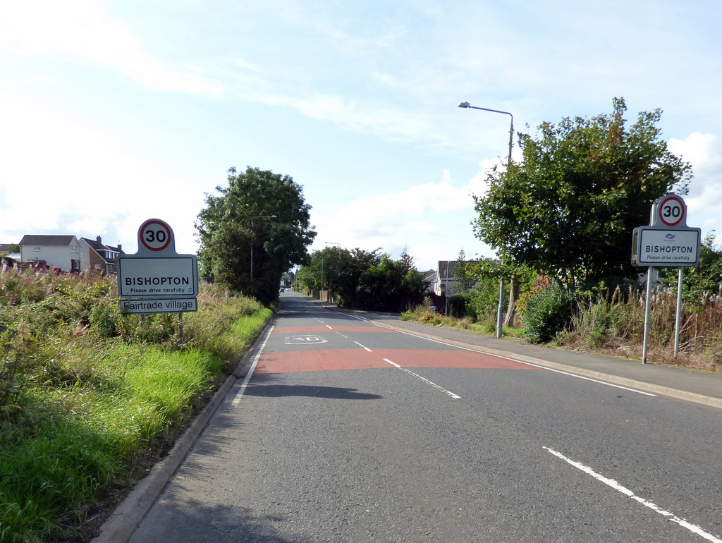
Bishopton, Renfrewshire
Bishopton (/bɪʃəptən/) (Scots: Bishoptoun; Scottish Gaelic: Baile an Easbaig) is a village in Renfrewshire, Scotland. It is located around 2 miles (3 km...
Nearby Amenities
Located within 500m of 55.900591,-4.478359Have you been to Linburn?
Leave your review of Linburn below (or comments, questions and feedback).