West Craigend
Settlement in Renfrewshire
Scotland
West Craigend
West Craigend is a small village located in Renfrewshire, Scotland. Situated approximately 10 miles west of Glasgow, it is nestled amidst the picturesque countryside, offering residents a peaceful and idyllic setting. West Craigend is part of the historic parish of Houston and Killellan, and falls under the administrative jurisdiction of Renfrewshire Council.
The village is primarily a residential area, characterized by traditional stone-built houses and a close-knit community. The village is surrounded by stunning natural beauty, with rolling hills, lush green fields, and forests nearby, making it an attractive place for nature enthusiasts and outdoor activities.
Despite its rural setting, West Craigend benefits from its proximity to major road networks, including the A737, ensuring easy access to nearby towns and cities. Residents also have access to various amenities and services in the nearby towns of Johnstone and Paisley, including schools, shops, and healthcare facilities.
The village is well-connected to public transportation, with regular bus services linking it to neighboring areas. Additionally, Glasgow International Airport is just a short drive away, offering convenient travel options for both domestic and international journeys.
Overall, West Craigend offers a tranquil and picturesque living environment, with its beautiful surroundings and close community spirit, making it an appealing place for those seeking a peaceful retreat within easy reach of urban amenities.
If you have any feedback on the listing, please let us know in the comments section below.
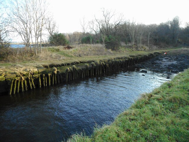
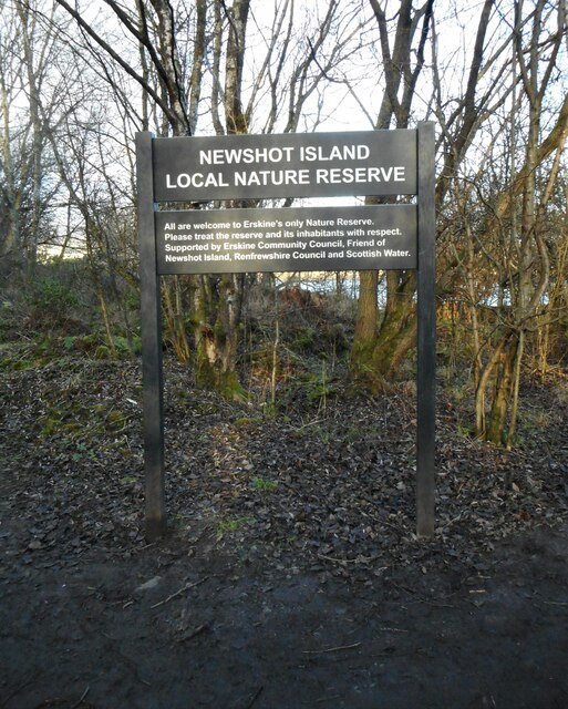
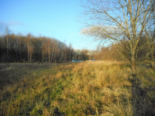
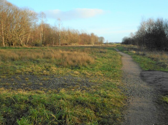
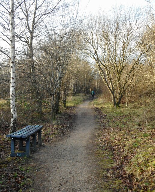
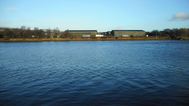
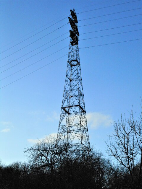
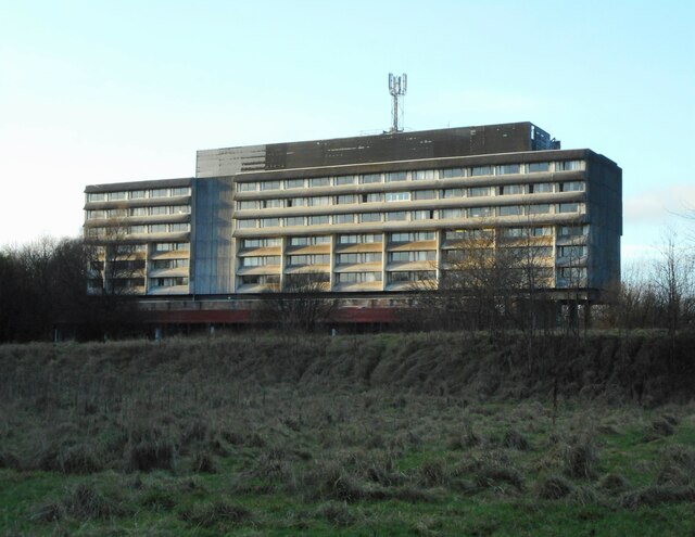
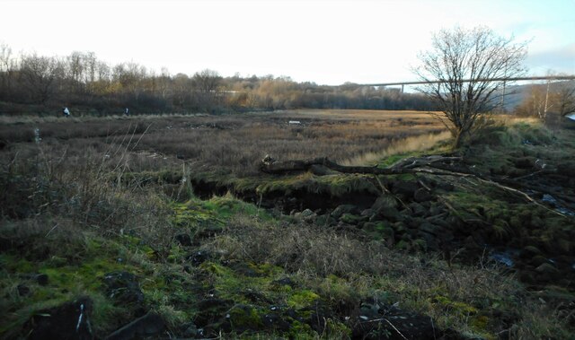
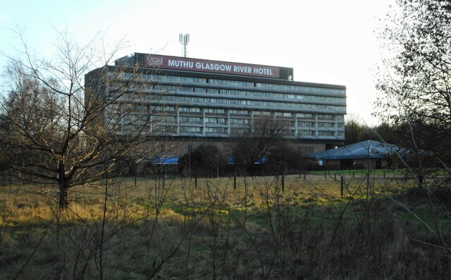
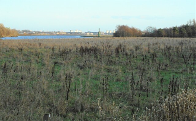
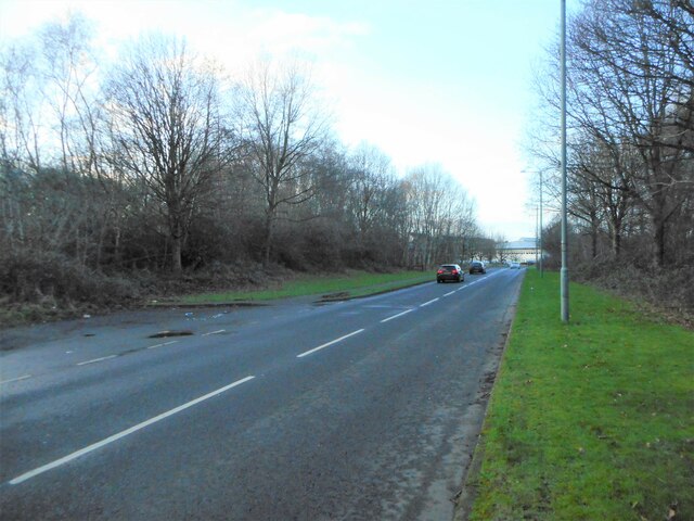
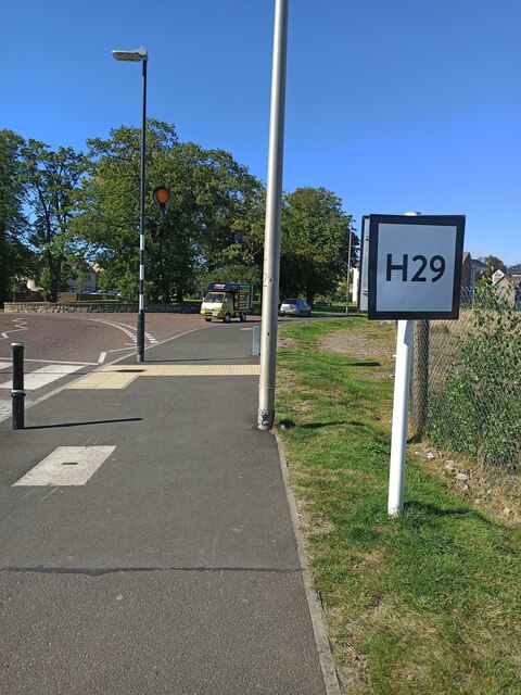
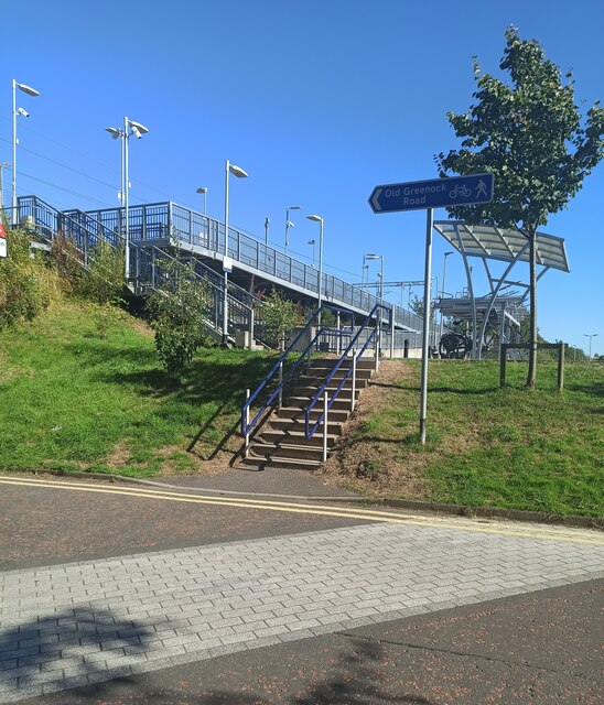
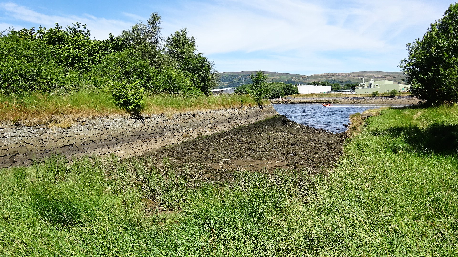
West Craigend Images
Images are sourced within 2km of 55.898738/-4.4711925 or Grid Reference NS4570. Thanks to Geograph Open Source API. All images are credited.
West Craigend is located at Grid Ref: NS4570 (Lat: 55.898738, Lng: -4.4711925)
Unitary Authority: Renfrewshire
Police Authority: Renfrewshire and Inverclyde
What 3 Words
///flips.spices.clattered. Near Erskine, Renfrewshire
Nearby Locations
Related Wikis

Lamont Farm
Lamont Farm Project is based in Erskine, Renfrewshire. It is a city farm which is open to the public. == History == Lamont Farm Project was founded in...

Park Mains High School
Park Mains High School is a secondary school in Erskine, Renfrewshire. It is one of the biggest schools in Scotland. As well as taking in students from...

Erskine
Erskine (, Scots: Erskin, Scottish Gaelic: Arasgain) is a town in the council area of Renfrewshire, and historic county of the same name, situated in the...

Erskine Bridge
The Erskine Bridge is a multi span cable-stayed box girder bridge spanning the River Clyde in west central Scotland. The bridge connects West Dunbartonshire...
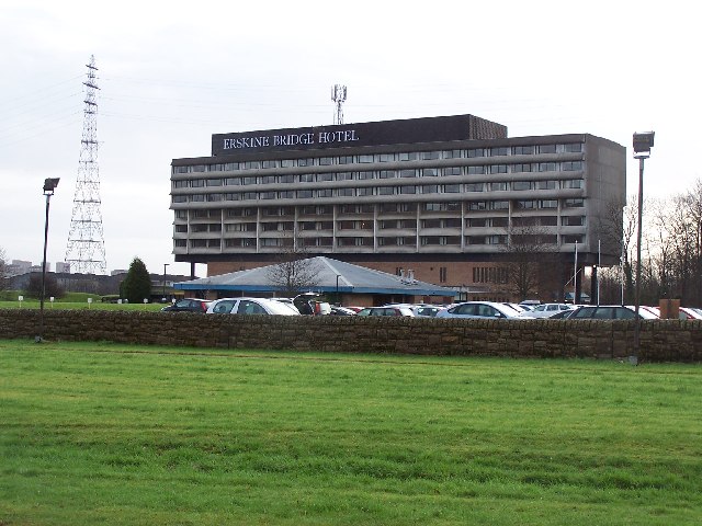
Erskine Bridge Hotel & Spa
The MGM Muthu Glasgow River Hotel, formerly the Erskine Bridge Hotel & Spa is situated on the banks of the River Clyde in Erskine, Renfrewshire. The hotel...

Bishopton railway station
Bishopton railway station serves the village of Bishopton in Renfrewshire, Scotland. The station is on the Inverclyde line, 13 miles (21 km) west of Glasgow...
Park Quay
The disused Park Quay or Fulton's Quay (NS 47436 70692) is located on the old Lands of Park, situated on the south bank of the River Clyde in the Parish...

ROF Bishopton
The Royal Ordnance Factory was a WW2 Ministry of Supply Explosive Factory. It is sited adjacent to the village of Bishopton in Renfrewshire, Scotland....
Nearby Amenities
Located within 500m of 55.898738,-4.4711925Have you been to West Craigend?
Leave your review of West Craigend below (or comments, questions and feedback).