Craigend Hill
Hill, Mountain in Renfrewshire
Scotland
Craigend Hill
Craigend Hill is a prominent hill located in Renfrewshire, Scotland. Situated approximately 5 miles southwest of Paisley, it stands at an elevation of 118 meters (387 feet) above sea level. The hill is part of the Gleniffer Braes Country Park, which covers an area of around 480 hectares, and is a popular destination for outdoor enthusiasts and nature lovers.
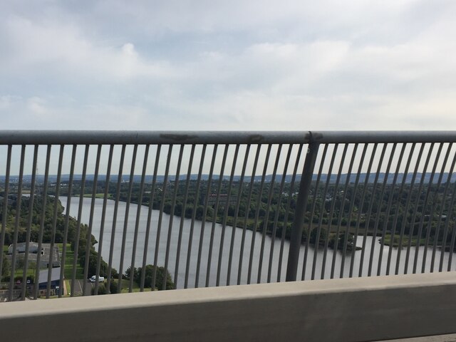
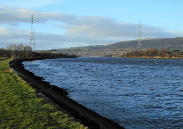
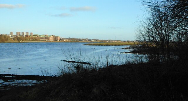
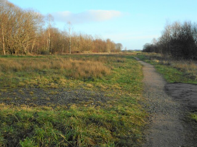
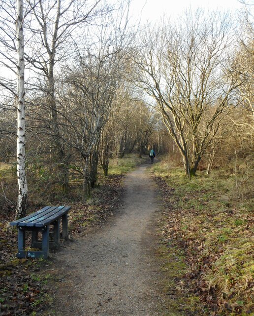
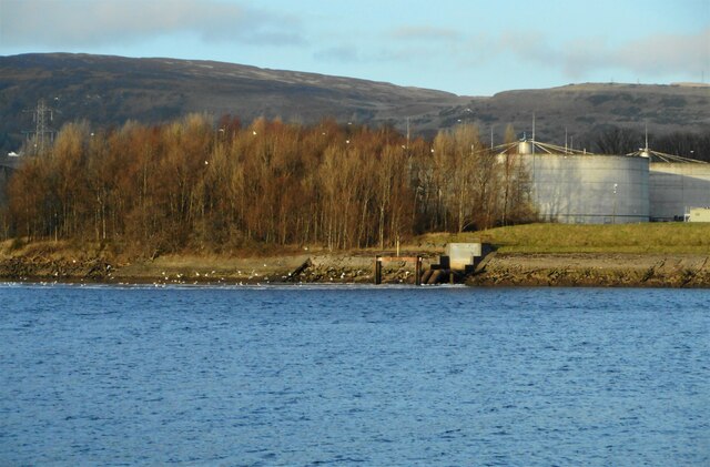
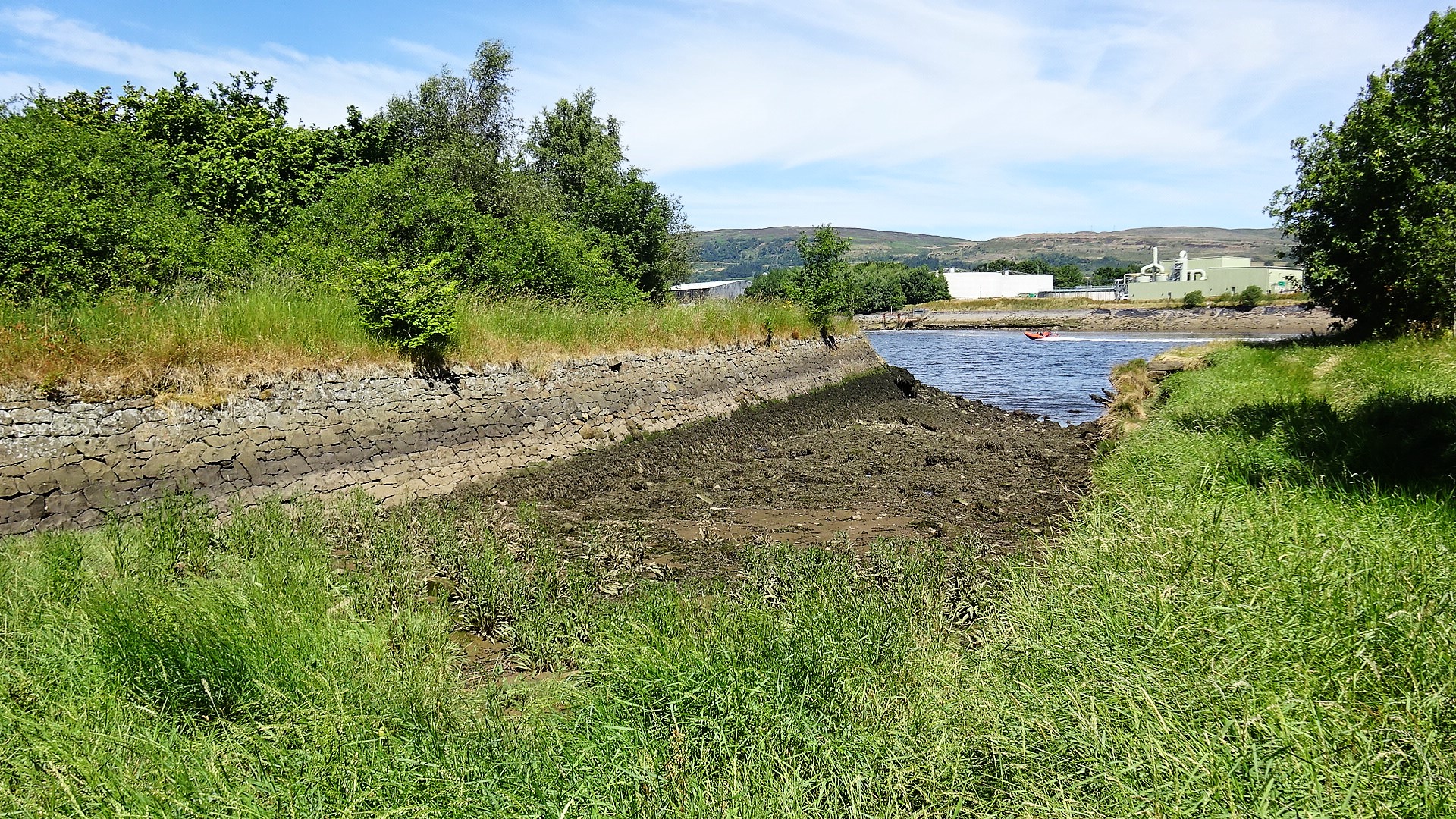
Craigend Hill offers stunning panoramic views of the surrounding landscape, including the towns of Paisley and Renfrew, as well as the River Clyde and its estuary. On a clear day, one can even catch a glimpse of the city of Glasgow in the distance. The hill is accessible via several footpaths and trails, making it an ideal spot for walking, hiking, and picnicking.
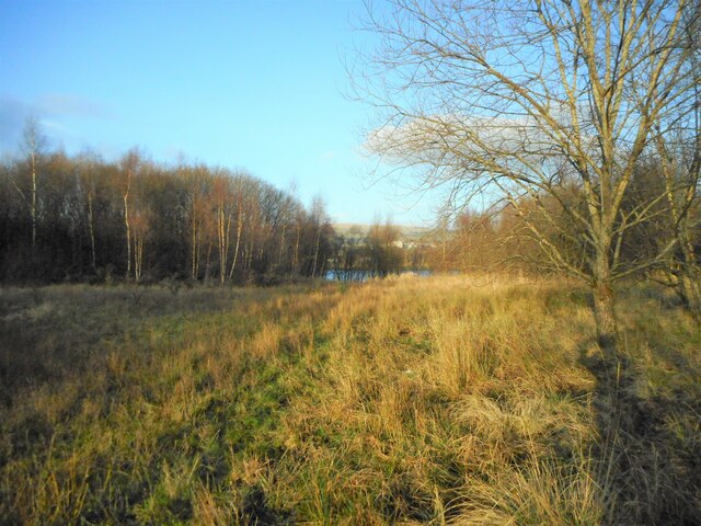
The hill itself is covered in a mix of grasses, heather, and patches of woodland, providing a diverse habitat for a variety of wildlife. Visitors may be lucky enough to spot birds such as buzzards, kestrels, and peregrine falcons soaring overhead, as well as deer and rabbits roaming the area.
In addition to its natural beauty, Craigend Hill also holds historical significance. The remains of an Iron Age fort can be found on its summit, offering a glimpse into the area's ancient past.
Overall, Craigend Hill is a picturesque and historically significant hill that offers breathtaking views and opportunities for outdoor recreation in Renfrewshire.
If you have any feedback on the listing, please let us know in the comments section below.
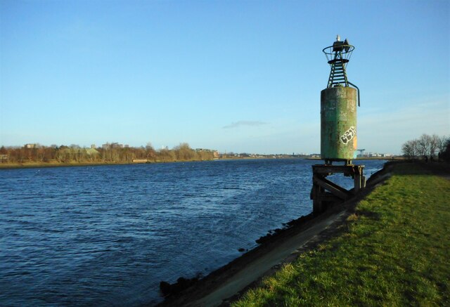
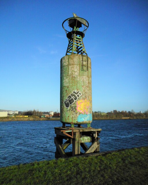
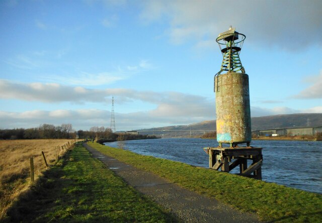
Craigend Hill Images
Images are sourced within 2km of 55.903956/-4.4660207 or Grid Reference NS4570. Thanks to Geograph Open Source API. All images are credited.

Craigend Hill is located at Grid Ref: NS4570 (Lat: 55.903956, Lng: -4.4660207)
Unitary Authority: Renfrewshire
Police Authority: Renfrewshire and Inverclyde
What 3 Words
///reports.animate.deflated. Near Erskine, Renfrewshire
Nearby Locations
Related Wikis

Erskine
Erskine (, Scots: Erskin, Scottish Gaelic: Arasgain) is a town in the council area of Renfrewshire, and historic county of the same name, situated in the...

Park Mains High School
Park Mains High School is a secondary school in Erskine, Renfrewshire. It is one of the biggest schools in Scotland. As well as taking in students from...

Lamont Farm
Lamont Farm Project is based in Erskine, Renfrewshire. It is a city farm which is open to the public. == History == Lamont Farm Project was founded in...

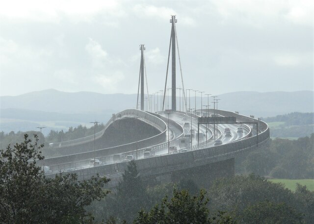
Erskine Bridge
The Erskine Bridge is a multi span cable-stayed box girder bridge spanning the River Clyde in west central Scotland. The bridge connects West Dunbartonshire...
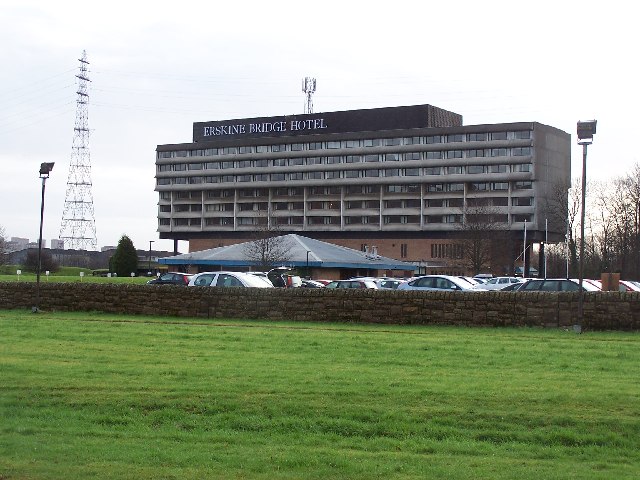
Erskine Bridge Hotel & Spa
The MGM Muthu Glasgow River Hotel, formerly the Erskine Bridge Hotel & Spa is situated on the banks of the River Clyde in Erskine, Renfrewshire. The hotel...
Park Quay
The disused Park Quay or Fulton's Quay (NS 47436 70692) is located on the old Lands of Park, situated on the south bank of the River Clyde in the Parish...

Erskine (charity)
Erskine is a veterans care and support charity headquartered in Erskine, Renfrewshire, but operating across the Central Belt of Scotland. It provides a...

St Patrick's Rock
St Patrick's Rock or St Patrick's Stone is located in the River Clyde (NS461724) close to the Erskine Bridge and the old Erskine Ferry on the Renfrewshire...
Nearby Amenities
Located within 500m of 55.903956,-4.4660207Have you been to Craigend Hill?
Leave your review of Craigend Hill below (or comments, questions and feedback).