Linburn
Settlement in Midlothian
Scotland
Linburn

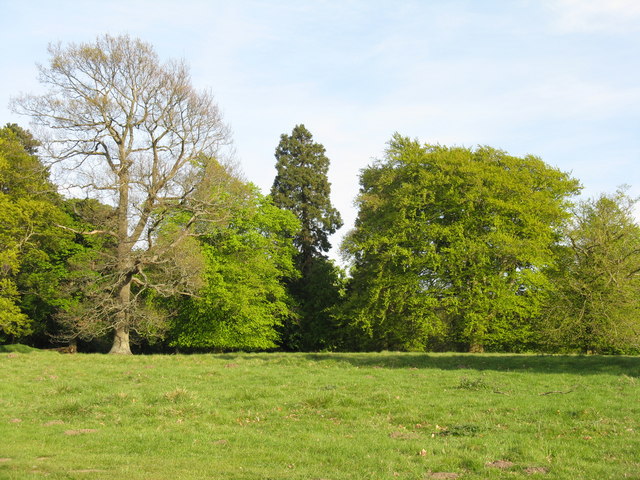
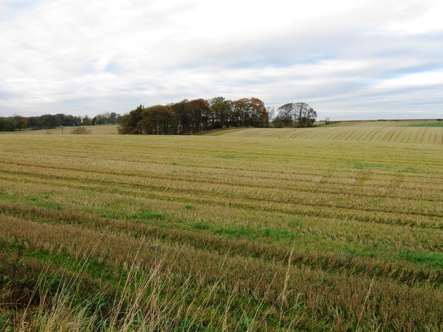
Linburn is a small village located in the county of Midlothian, Scotland. Situated approximately 8 miles southeast of the capital city of Edinburgh, it falls within the local government area of Midlothian Council. The village is nestled amidst the picturesque Scottish countryside, surrounded by rolling hills and lush green landscapes.
Despite its small size, Linburn has a rich history that dates back centuries. It is believed that the village evolved around an ancient settlement, with evidence of human activity in the area dating back to prehistoric times. Over the years, Linburn has witnessed various changes and developments, but it has managed to retain its quaint charm and rural character.
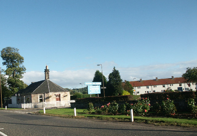
The village is predominantly residential, with a close-knit community that values its peaceful and close connection to nature. Linburn offers a tranquil living environment, away from the hustle and bustle of city life, making it an ideal choice for those seeking a quiet and idyllic place to reside.
Although Linburn is not abundant in amenities, residents can find essential services within a short distance. There are a few local shops, a post office, and a primary school, ensuring that the basic needs of the community are met. The nearby town of Loanhead provides additional amenities and facilities, including supermarkets, restaurants, and recreational activities.
Overall, Linburn is a charming village that offers a serene and scenic setting for its residents. With its historical significance and natural beauty, it continues to attract individuals seeking a peaceful and picturesque place to call home.
If you have any feedback on the listing, please let us know in the comments section below.
Linburn Images
Images are sourced within 2km of 55.900564/-3.407969 or Grid Reference NT1268. Thanks to Geograph Open Source API. All images are credited.

![Energy gathering at Easter Newton Two trees [oak and beech[?]], and a bank of solar panels.](https://s3.geograph.org.uk/geophotos/02/39/33/2393335_c08addfb.jpg)


Linburn is located at Grid Ref: NT1268 (Lat: 55.900564, Lng: -3.407969)
Unitary Authority: West Lothian
Police Authority: The Lothians and Scottish Borders
What 3 Words
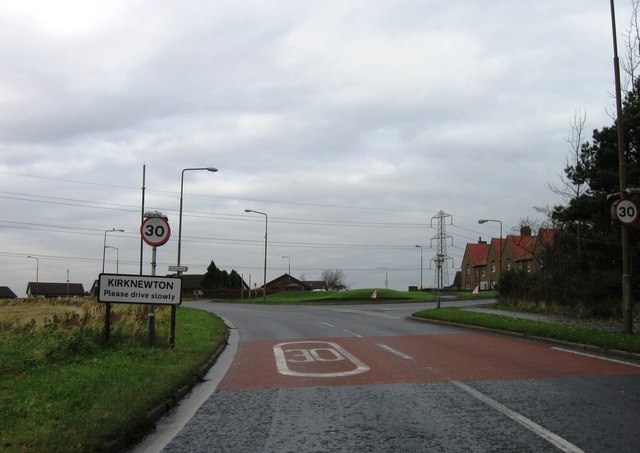
///ballparks.croak.history. Near Kirknewton, West Lothian
Nearby Locations
Related Wikis
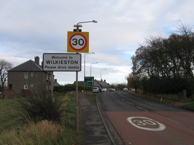
Linburn Centre
The Linburn Centre is a day centre for blinded war veterans at Wilkieston in West Lothian, Scotland, around 6 kilometres (3.7 mi) west of the city of Edinburgh...

Wilkieston
Wilkieston is a small village in West Lothian, Scotland. It is located on the A71 road, 0.93 miles (1.5 km) north of Kirknewton, 1.2 miles (2 km) south...

Haltoun House
Haltoun House, or Hatton House (or occasionally Argile House), was a Scottish baronial mansion set in a park, with extensive estates in the vicinity of...
Burnwynd
Burnwynd is a village on the border between the City of Edinburgh council area and West Lothian, Scotland. It is situated on the A71 road. Burnwynd is...
Nearby Amenities
Located within 500m of 55.900564,-3.407969Have you been to Linburn?
Leave your review of Linburn below (or comments, questions and feedback).