West Cowick

Settlement in Yorkshire

England

West Cowick

Shapla indian restaurant, East Cowick
Shapla indian restaurant, East Cowick Credit: David Brown

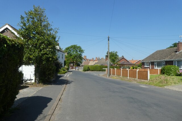
West Cowick is a small village located in the county of East Riding of Yorkshire, England. Situated approximately 6 miles south of the market town of Snaith, it is nestled amidst the picturesque landscape of the Yorkshire Wolds. With a population of around 500 residents, it maintains a tight-knit community atmosphere.

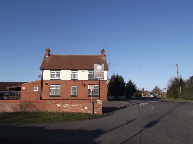
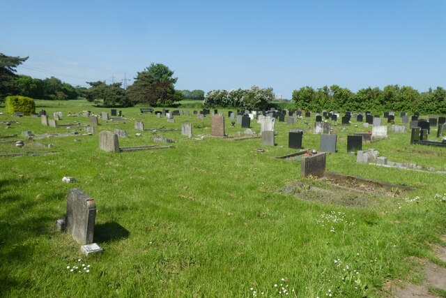
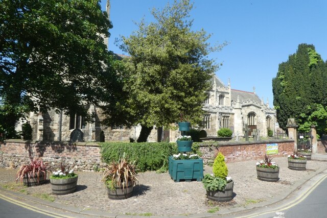
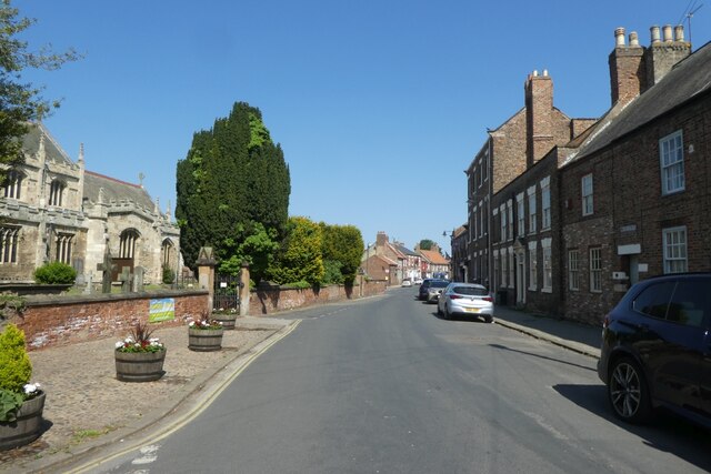
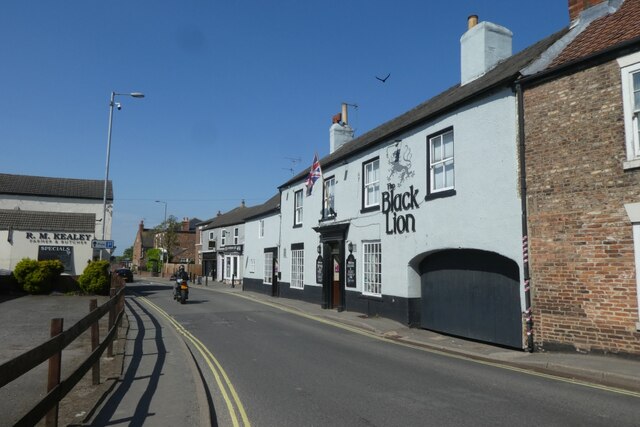
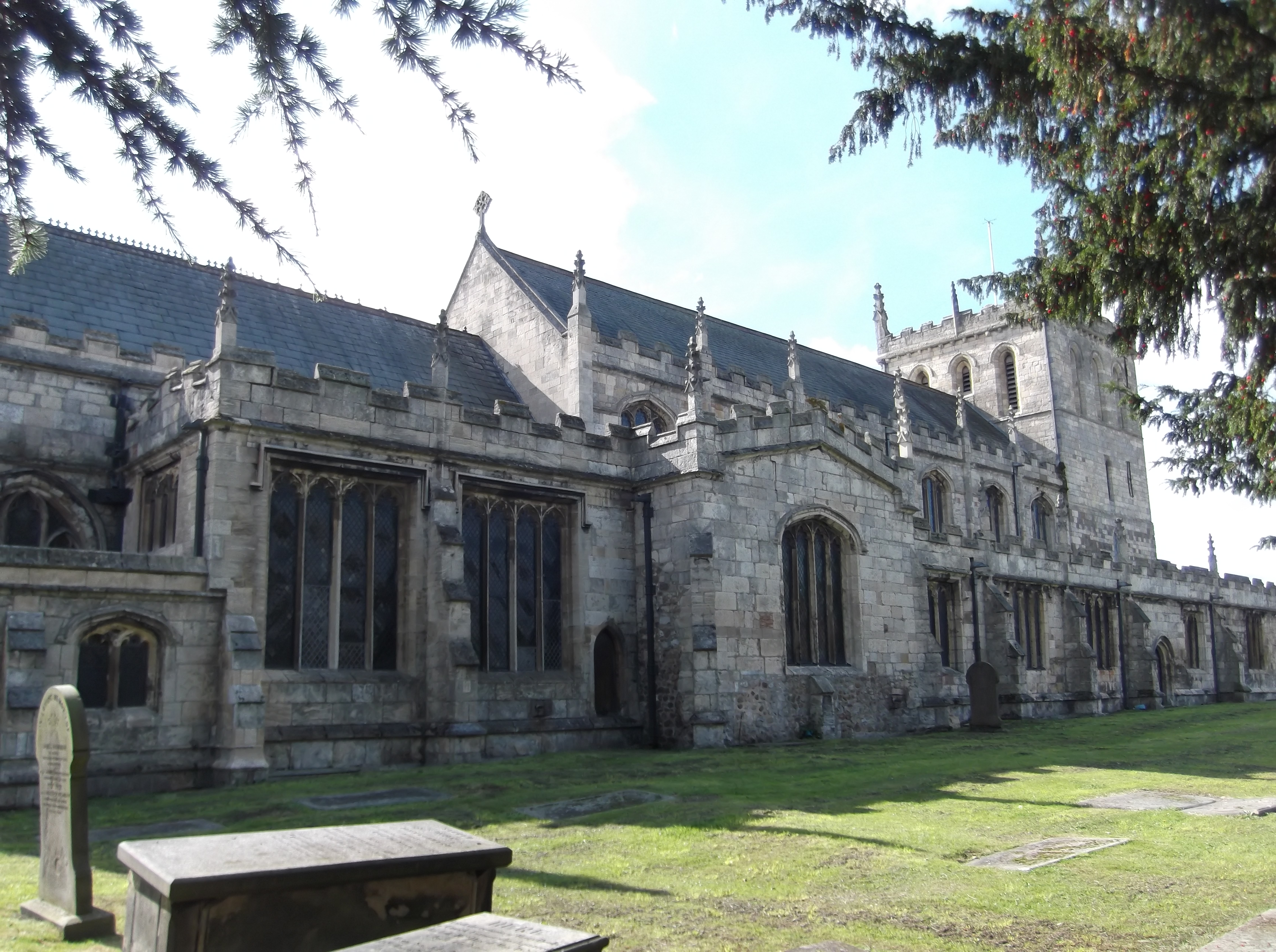
The village is renowned for its historic charm, with some of its buildings dating back to the 17th century. The local St. Mary's Church, a Grade II listed building, stands as a prominent landmark. West Cowick is primarily a residential area, with a scattering of small businesses serving the local community.

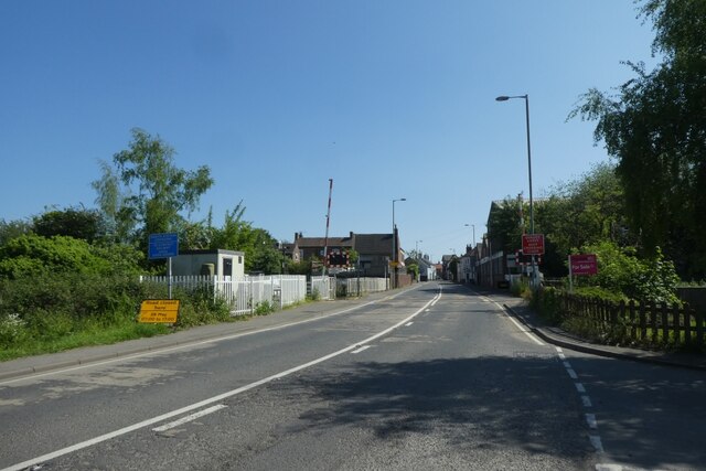
Despite its tranquil rural setting, the village benefits from its proximity to nearby towns and cities. The bustling city of York lies approximately 20 miles to the west, offering residents access to a range of amenities, cultural attractions, and employment opportunities. The city of Hull is also within easy reach, situated approximately 30 miles to the east.

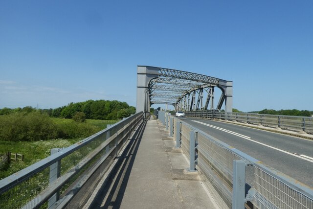
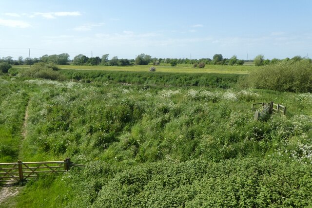
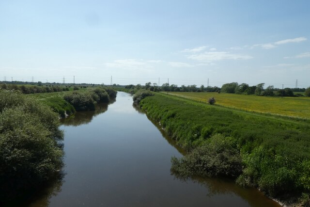
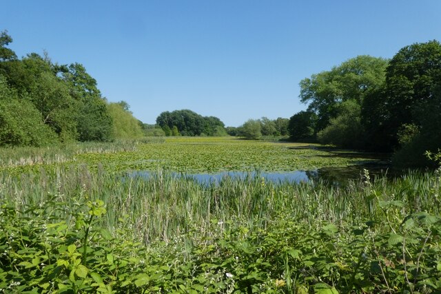
Nature enthusiasts and outdoor lovers will appreciate the surrounding countryside, which provides ample opportunities for walking, cycling, and exploring the local flora and fauna. The nearby River Aire offers picturesque riverside walks and fishing spots, while the Yorkshire Wolds provide breathtaking panoramic views.

West Cowick boasts a strong community spirit, with various local events and activities taking place throughout the year. The village is well-served by public transport, with regular bus services connecting it to surrounding towns and villages. Overall, West Cowick offers a peaceful and idyllic setting for those seeking a relaxed countryside lifestyle.

If you have any feedback on the listing, please let us know in the comments section below.
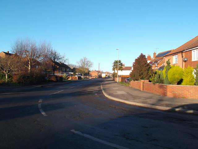
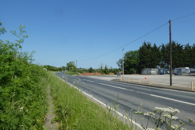
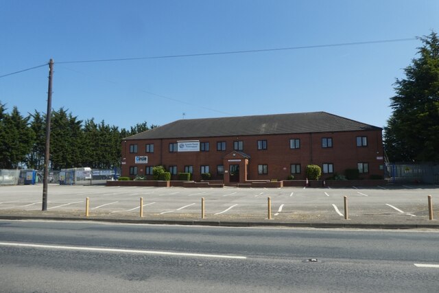
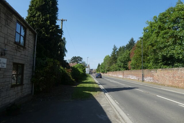
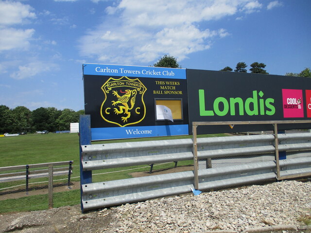
West Cowick Images

Images are sourced within 2km of 53.688089/-1.019474 or Grid Reference SE6421. Thanks to Geograph Open Source API. All images are credited.

Shapla indian restaurant, East Cowick
High Street, West Cowick
Pavement beside Pontefract Road The A645 Pontefract Road between Snape and Eggborough.
Pavement beside Pontefract Road
The A645 Pontefract Road between Snape and Eggborough.
Big Picture House An office building along the A645 Pontefract Road near Snape.
Big Picture House
An office building along the A645 Pontefract Road near Snape.
Cemetery along Pontefract Road A cemetery along the A645 near Snaith.
Cemetery along Pontefract Road
A cemetery along the A645 near Snaith.
Snaith High Street Looking towards the junction with Lodge Gardens.
Snaith High Street
Looking towards the junction with Lodge Gardens.
St. Laurence Church The Church on High Street in Snaith.
St. Laurence Church
The Church on High Street in Snaith.
Street beside the Church The road beside St. Laurence's Church in Snaith.
Street beside the Church
The road beside St. Laurence's Church in Snaith.
Black Lion A public house on Selby Road in Snaith.
Black Lion
A public house on Selby Road in Snaith.
Level crossing in Snaith Crossing the Wakefield and Goole Line, which is a single track railway.
Level crossing in Snaith
Crossing the Wakefield and Goole Line, which is a single track railway.
Ferry Lane Bridge Crossing the River Aire north of Snaith.
Ferry Lane Bridge
Crossing the River Aire north of Snaith.
River bank from Ferry Lane Bridge Looking down on the south bank of the River Aire from the bridge north of Snaith.
River bank from Ferry Lane Bridge
Looking down on the south bank of the River Aire from the bridge north of Snaith.
River Aire from Ferry Lane Bridge Looking upstream from the road bridge north of Snaith.
River Aire from Ferry Lane Bridge
Looking upstream from the road bridge north of Snaith.
Cricket match in progress The cricket ground at Carlton Towers.
Cricket match in progress
The cricket ground at Carlton Towers.
A1041 and cricket match The cricket ground at Carlton Towers is on the left with the A1041 heading north from Snaith to Carlton.
A1041 and cricket match
The cricket ground at Carlton Towers is on the left with the A1041 heading north from Snaith to Carlton.
Carlton Fishponds Looking across a pond from the A1041 in Carlton.
Carlton Fishponds
Looking across a pond from the A1041 in Carlton.
A1041 in Carlton Looking along the road between Snaith and Camblesforth as it passes through Carlton.
A1041 in Carlton
Looking along the road between Snaith and Camblesforth as it passes through Carlton.
Cricket  Club  name  and  badge The access track to the cricket pavilion comes off the A1041 south of Carlton
Cricket Club name and badge
The access track to the cricket pavilion comes off the A1041 south of Carlton
Show me another place!

West Cowick is located at Grid Ref: SE6421 (Lat: 53.688089, Lng: -1.019474)

Division: West Riding

Unitary Authority: East Riding of Yorkshire

Police Authority: Humberside

What 3 Words

///early.swerving.stands. Near Snaith, East Yorkshire

Nearby Locations

Cowick, West West Cowick

Related Wikis

West Cowick

West Cowick is a village in the East Riding of Yorkshire, England, situated approximately 1 mile (1.6 km) south-east of Snaith. It is just to the south...

Snaith

Snaith is a market town and parish in the civil parish of Snaith and Cowick in the East Riding of Yorkshire, England. The town is close to the River Aire...

Snaith railway station

Snaith railway station is a railway station that serves the market town of Snaith in the East Riding of Yorkshire, England. It is located 26 miles (42...

Snaith Priory

Snaith Priory was a Benedictine priory in Snaith, within the East Riding of Yorkshire, England. The priory was located at the Church of St Lawrence in...

Snaith and Cowick

Snaith and Cowick is a civil parish in the East Riding of Yorkshire, England. It is situated approximately 6 miles (9.7 km) west of the town of Goole and...

The Snaith School

The Snaith School is a coeducational secondary school with academy status, located in Snaith in the East Riding of Yorkshire, England. The school was founded...

East Cowick

East Cowick is a village in the East Riding of Yorkshire, England, situated approximately 1.5 miles (2.4 km) east of Snaith. It lies on the A1041 road...

Carlton Towers

Carlton Towers in the civil parish of Carlton, 5 miles (8 km) south-east of Selby, North Yorkshire, England, is a very large Grade I listed country house...

Nearby Amenities

Located within 500m of 53.688089,-1.019474
West Cowick
Is In: East Riding of Yorkshire, England, UK
Is In County: East Riding of Yorkshire
Place: village
Wikidata: Q7984895
Lat/Long: 53.6866615/-1.0180449
Bus Stop
Snaith Butt Lane
Bus: yes
Naptan AtcoCode: 2200YEA01198
Naptan Bearing: S
Naptan CommonName: Snaith Butt Lane
Naptan Street: Butt Lane
Naptan Verified: no
Public Transport: platform
Source: naptan_import
Lat/Long: 53.6906223/-1.0253165
Bus Stop
West Cowick High Street
Bus: yes
Naptan AtcoCode: 2200YEA01199
Naptan Bearing: E
Naptan CommonName: West Cowick High Street
Naptan Street: High Street
Naptan Verified: no
Public Transport: platform
Source: naptan_import
Lat/Long: 53.6866282/-1.0216382
Bus Stop
West Cowick High Street
Bus: yes
Naptan AtcoCode: 2200YEA01200
Naptan Bearing: W
Naptan CommonName: West Cowick High Street
Naptan Street: High Street
Naptan Verified: no
Public Transport: platform
Source: naptan_import
Lat/Long: 53.6865795/-1.0222753
Bus Stop
West Cowick High Street
Bus: yes
Naptan AtcoCode: 2200YEA01201
Naptan Bearing: E
Naptan CommonName: West Cowick High Street
Naptan Street: High Street
Naptan Verified: no
Public Transport: platform
Source: naptan_import
Lat/Long: 53.6862542/-1.0165741
Bus Stop
West Cowick High Street
Bus: yes
Naptan AtcoCode: 2200YEA01202
Naptan Bearing: W
Naptan CommonName: West Cowick High Street
Naptan Street: High Street
Naptan Verified: no
Public Transport: platform
Source: naptan_import
Lat/Long: 53.6862202/-1.0168171
Bus Stop
West Cowick Ivy Lane
Bus: yes
Naptan AtcoCode: 2200YEA01203
Naptan Bearing: N
Naptan CommonName: West Cowick Ivy Lane
Naptan Street: Ivy Lane
Naptan Verified: no
Public Transport: platform
Source: naptan_import
Lat/Long: 53.6852502/-1.0136296
Bus Stop
West Cowick Lodge Lane
Bus: yes
Naptan AtcoCode: 2200YEA01588
Naptan Bearing: S
Naptan CommonName: West Cowick Lodge Lane
Naptan Landmark: Cowick Hall
Naptan Street: Lodge Lane
Naptan Verified: no
Public Transport: platform
Source: naptan_import
Lat/Long: 53.687302/-1.0128245
Bus Stop
West Cowick Lodge Lane
Bus: yes
Naptan AtcoCode: 2200YEA01591
Naptan Bearing: N
Naptan CommonName: West Cowick Lodge Lane
Naptan Landmark: Cowick Grange
Naptan Street: Lodge Lane
Naptan Verified: no
Public Transport: platform
Source: naptan_import
Lat/Long: 53.6873589/-1.0131866
Barrier: lift_gate
Bicycle: yes
Foot: yes
Motorcar: yes
Motorcycle: yes
Lat/Long: 53.6869729/-1.0129128
Generator Method: photovoltaic
Generator Output Electricity: yes
Generator Source: solar
Generator Type: solar_photovoltaic_panel
Location: roof
Power: generator
Lat/Long: 53.6871772/-1.0175282
Generator Method: photovoltaic
Generator Output Electricity: yes
Generator Source: solar
Generator Type: solar_photovoltaic_panel
Location: roof
Power: generator
Lat/Long: 53.6853553/-1.0151759
Generator Method: photovoltaic
Generator Output Electricity: yes
Generator Source: solar
Generator Type: solar_photovoltaic_panel
Location: roof
Power: generator
Lat/Long: 53.6863624/-1.0193279
Generator Method: photovoltaic
Generator Output Electricity: yes
Generator Source: solar
Generator Type: solar_photovoltaic_panel
Location: roof
Power: generator
Lat/Long: 53.6920898/-1.0227478
Generator Method: photovoltaic
Generator Output Electricity: yes
Generator Source: solar
Generator Type: solar_photovoltaic_panel
Location: roof
Power: generator
Lat/Long: 53.6921391/-1.0226163
Generator Method: photovoltaic
Generator Output Electricity: yes
Generator Source: solar
Generator Type: solar_photovoltaic_panel
Location: roof
Power: generator
Lat/Long: 53.6921931/-1.0224661
Generator Method: photovoltaic
Generator Output Electricity: yes
Generator Source: solar
Generator Type: solar_photovoltaic_panel
Location: roof
Power: generator
Lat/Long: 53.6922423/-1.0223106
Generator Method: photovoltaic
Generator Output Electricity: yes
Generator Source: solar
Generator Type: solar_photovoltaic_panel
Location: roof
Power: generator
Lat/Long: 53.6910845/-1.0236087
Generator Method: photovoltaic
Generator Output Electricity: yes
Generator Source: solar
Generator Type: solar_photovoltaic_panel
Location: roof
Power: generator
Lat/Long: 53.6912608/-1.0230374
Generator Method: photovoltaic
Generator Output Electricity: yes
Generator Source: solar
Generator Type: solar_photovoltaic_panel
Location: roof
Power: generator
Lat/Long: 53.6912258/-1.0228738
Generator Method: photovoltaic
Generator Output Electricity: yes
Generator Source: solar
Generator Type: solar_photovoltaic_panel
Location: roof
Power: generator
Lat/Long: 53.6911972/-1.0227236
Generator Method: photovoltaic
Generator Output Electricity: yes
Generator Source: solar
Generator Type: solar_photovoltaic_panel
Location: roof
Power: generator
Lat/Long: 53.6911607/-1.0225546
Generator Method: photovoltaic
Generator Output Electricity: yes
Generator Source: solar
Generator Type: solar_photovoltaic_panel
Location: roof
Power: generator
Lat/Long: 53.6910956/-1.0223427
Generator Method: photovoltaic
Generator Output Electricity: yes
Generator Source: solar
Generator Type: solar_photovoltaic_panel
Location: roof
Power: generator
Lat/Long: 53.6907081/-1.0224527
Generator Method: photovoltaic
Generator Output Electricity: yes
Generator Source: solar
Generator Type: solar_photovoltaic_panel
Location: roof
Power: generator
Lat/Long: 53.6907716/-1.0226244
Generator Method: photovoltaic
Generator Output Electricity: yes
Generator Source: solar
Generator Type: solar_photovoltaic_panel
Location: roof
Power: generator
Lat/Long: 53.6908177/-1.0228094
Generator Method: photovoltaic
Generator Output Electricity: yes
Generator Source: solar
Generator Type: solar_photovoltaic_panel
Location: roof
Power: generator
Lat/Long: 53.6904254/-1.0243249
Generator Method: photovoltaic
Generator Output Electricity: yes
Generator Source: solar
Generator Type: solar_photovoltaic_panel
Location: roof
Power: generator
Lat/Long: 53.6905302/-1.0237777
Generator Method: photovoltaic
Generator Output Electricity: yes
Generator Source: solar
Generator Type: solar_photovoltaic_panel
Location: roof
Power: generator
Lat/Long: 53.6896487/-1.0245878
Generator Method: photovoltaic
Generator Output Electricity: yes
Generator Source: solar
Generator Type: solar_photovoltaic_panel
Location: roof
Power: generator
Lat/Long: 53.6886623/-1.0249981
Generator Method: photovoltaic
Generator Output Electricity: yes
Generator Source: solar
Generator Type: solar_photovoltaic_panel
Location: roof
Power: generator
Lat/Long: 53.6885718/-1.0256016
Generator Method: photovoltaic
Generator Output Electricity: yes
Generator Source: solar
Generator Type: solar_photovoltaic_panel
Location: roof
Power: generator
Lat/Long: 53.6885655/-1.0258618
Generator Method: photovoltaic
Generator Output Electricity: yes
Generator Source: solar
Generator Type: solar_photovoltaic_panel
Location: roof
Power: generator
Lat/Long: 53.6885718/-1.0262293
Barrier: kissing_gate
Material: wood
Lat/Long: 53.6859993/-1.0225839
Barrier: kissing_gate
Foot: yes
Material: wood
Lat/Long: 53.6855273/-1.0236553
Noexit: yes
Lat/Long: 53.6895565/-1.0205253
Noexit: yes
Lat/Long: 53.6895121/-1.0203874
The data included in this document is from www.openstreetmap.org. The data is made available under ODbL.

Have you been to West Cowick?

Leave your review of West Cowick below (or comments, questions and feedback).