Common, West
Settlement in Hampshire New Forest
England
Common, West
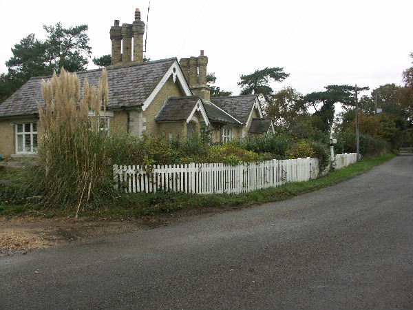
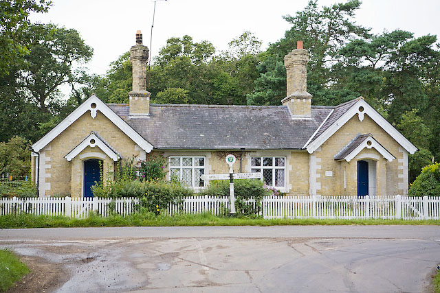
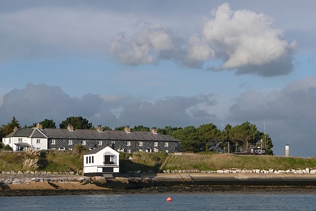
Common, West Hampshire is a picturesque village located in the southwestern part of England. Situated in the county of Hampshire, it is part of the Test Valley district. With a population of around 1,500 residents, Common offers a tranquil and idyllic setting for those seeking a peaceful countryside lifestyle.
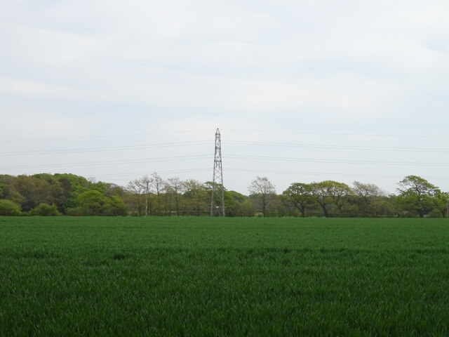
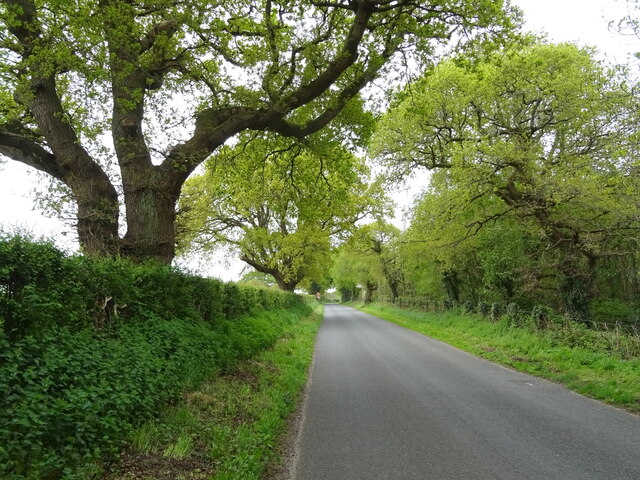
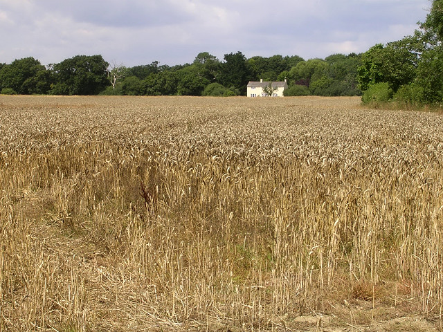
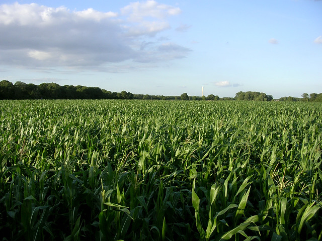
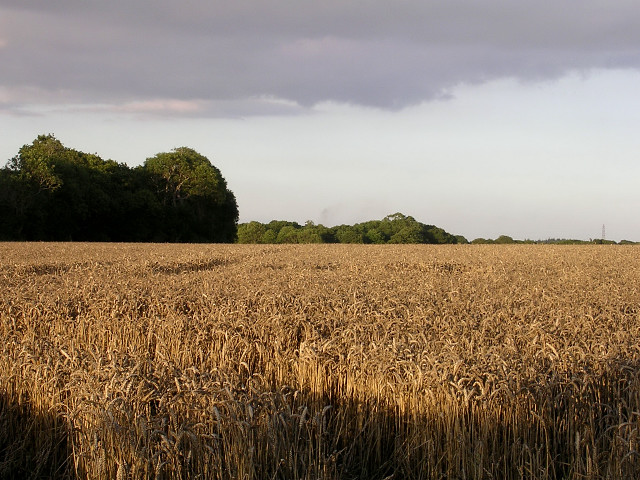
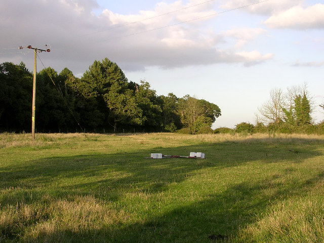
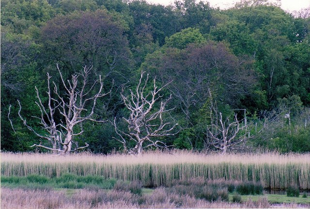
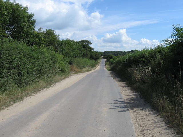
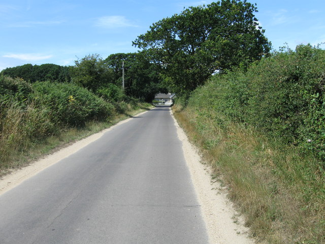
The village is surrounded by stunning natural beauty, characterized by rolling hills, lush green fields, and charming woodlands. The Test Valley River, a popular spot for fishing and boating enthusiasts, meanders through the village, adding to its scenic appeal.
Common is renowned for its strong sense of community and friendly atmosphere. The village boasts a range of amenities, including a local pub, a village hall, and a primary school, which serve as focal points for social gatherings and community events.
Nature lovers and outdoor enthusiasts will find ample opportunities for exploration and recreation in the surrounding area. The nearby Test Way, a long-distance footpath, offers breathtaking views of the Hampshire countryside, and the nearby New Forest National Park provides an array of activities such as hiking, cycling, and wildlife spotting.
The village benefits from its proximity to larger towns and cities. The market town of Romsey is just a short drive away, offering a wider range of shops, restaurants, and leisure facilities. Additionally, the city of Southampton is within easy reach, providing access to cultural attractions, shopping centers, and excellent transport links.
Overall, Common, West Hampshire is a charming and peaceful village, offering a close-knit community, beautiful natural surroundings, and convenient access to nearby amenities and attractions.
If you have any feedback on the listing, please let us know in the comments section below.
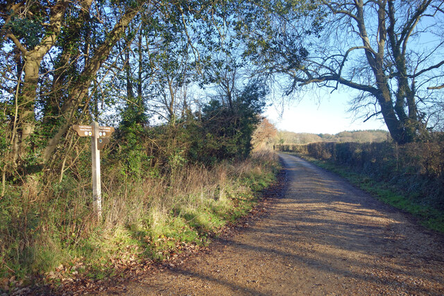
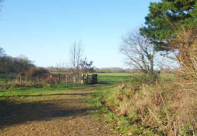
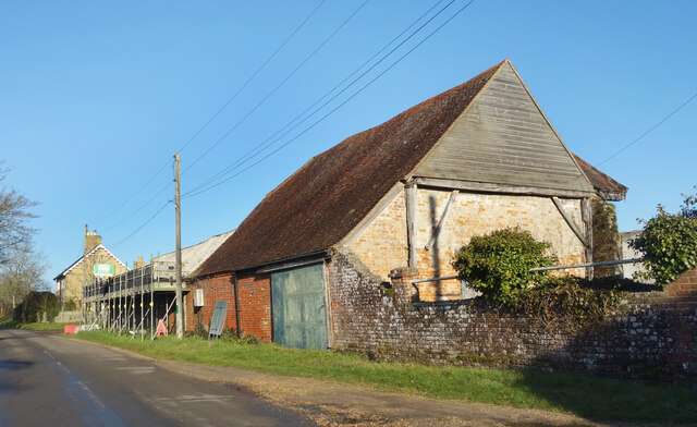
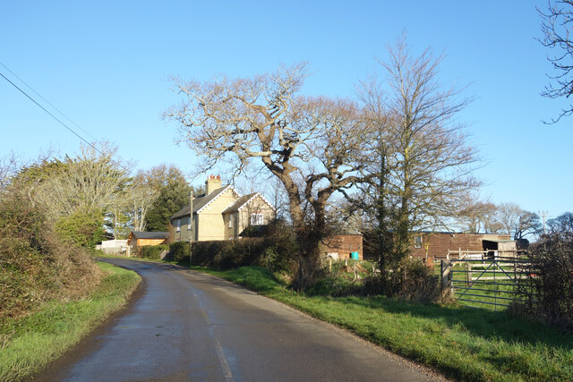
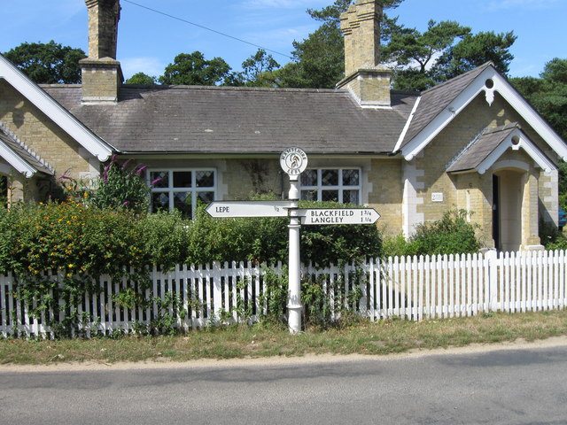
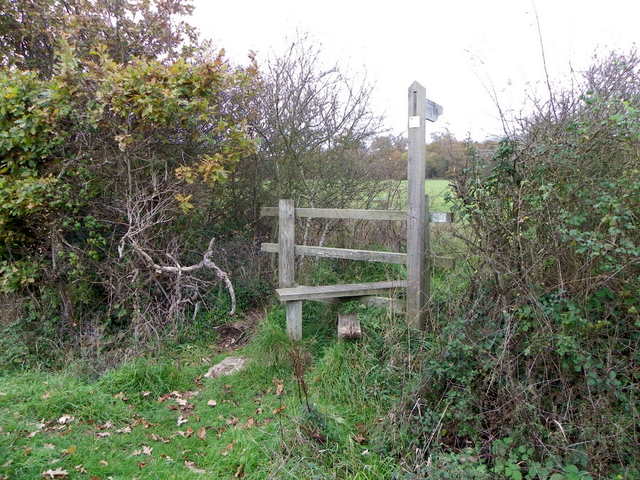
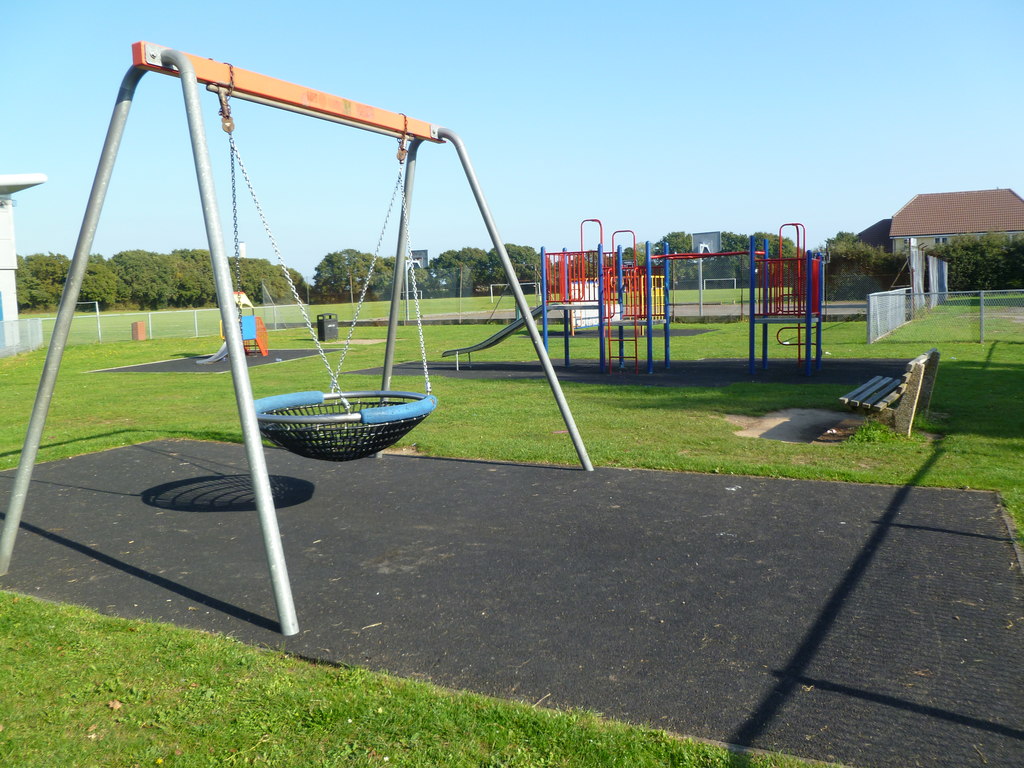
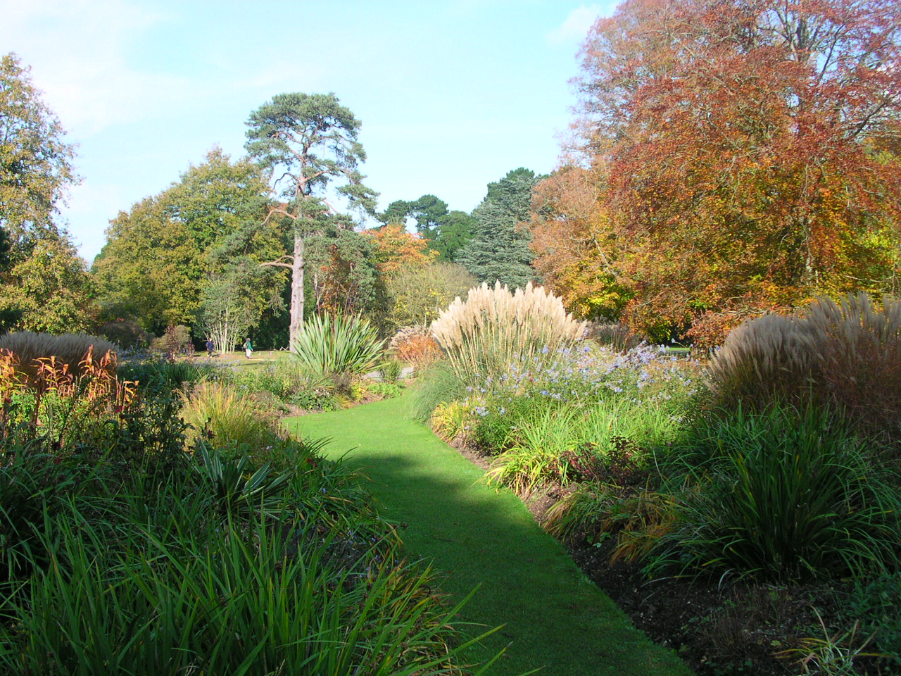
Common, West Images
Images are sourced within 2km of 50.805375/-1.374819 or Grid Reference SU4400. Thanks to Geograph Open Source API. All images are credited.
Common, West is located at Grid Ref: SU4400 (Lat: 50.805375, Lng: -1.374819)
Administrative County: Hampshire
District: New Forest
Police Authority: Hampshire
What 3 Words
///pills.turned.noun. Near Gurnard, Isle of Wight
Nearby Locations
Related Wikis

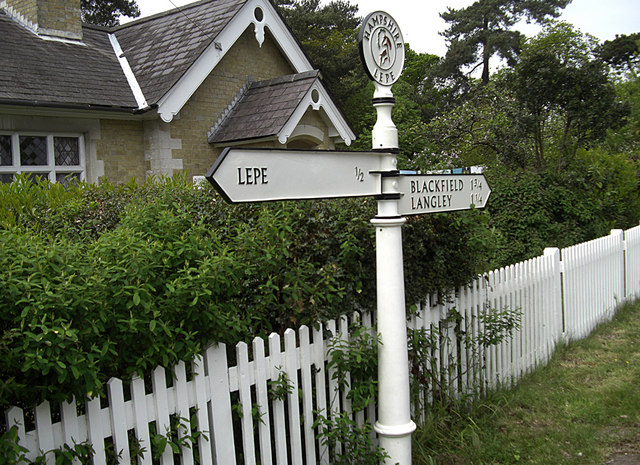
Langley, Hampshire
Langley is a small village in the civil parish of Fawley in Hampshire, England. == History == The name Langley means "long wood/clearing". Langley is listed...

Exbury and Lepe
Exbury and Lepe is a civil parish in the New Forest in Hampshire, England. It is bounded to the west by the Beaulieu River, to the south by the shore...
Blackfield, Hampshire
Blackfield is a village in Hampshire, England. It is within the parish of Fawley, which is part of the ward of Fawley, Blackfield and Langley. == Schools... ==

Exbury
Exbury is a village in Hampshire, England. It is in the civil parish of Exbury and Lepe. It lies just in the New Forest, near the Beaulieu River and about...

Exbury House
Exbury House is an English country house in Exbury and Lepe, Hampshire, situated on the edge of the New Forest. It is a Grade II* listed building with...
Exbury Gardens
Exbury Gardens is a 200-acre (81 ha) informal woodland garden in Hampshire, England with large collections of rhododendrons, azaleas and camellias, and...
Blackfield & Langley F.C.
Blackfield & Langley Football Club is a football club based in the village of Blackfield, near Southampton, England. Affiliated to the Hampshire Football...
Lepe, Hampshire
Lepe is a linear hamlet on the Solent in south-west Hampshire, England. In the civil parish of Exbury and Lepe, It is beside the Dark Water, and has Lepe...
Nearby Amenities
Located within 500m of 50.805375,-1.374819Have you been to Common, West?
Leave your review of Common, West below (or comments, questions and feedback).