Chale Wood

Wood, Forest in Hampshire New Forest

England

Chale Wood

Farm Track and Bridleway A bit smart for just a bridleway, this is also a drive to East Hill Farm.
Farm Track and Bridleway Credit: Des Blenkinsopp

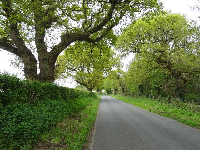
Chale Wood is a picturesque forest located in the county of Hampshire, England. Situated near the village of Chale, this wood covers an area of approximately 100 acres and is renowned for its natural beauty and tranquility.

The wood is primarily composed of deciduous trees, including oak, beech, and ash, which create a dense canopy, providing shade and shelter for a variety of flora and fauna. Bluebells carpet the forest floor in spring, creating a stunning display of vibrant colors. The wood is also home to numerous bird species, such as woodpeckers, nuthatches, and tawny owls, making it a popular spot for birdwatching enthusiasts.

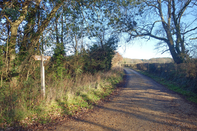
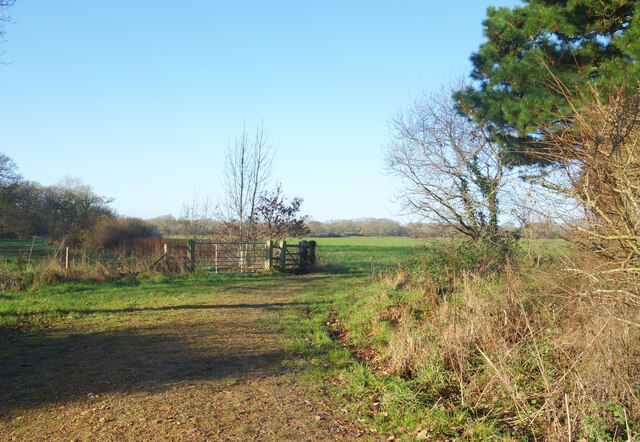
Chale Wood offers several walking trails, allowing visitors to explore its enchanting surroundings. The well-maintained paths wind through the forest, taking visitors past babbling streams, ancient trees, and secluded clearings. These trails provide the perfect opportunity for nature lovers to immerse themselves in the serenity of the woodland and enjoy the sounds of birdsong and rustling leaves.

In addition to its natural beauty, Chale Wood has historical significance. It is believed to have been part of the royal hunting grounds during the medieval period, and remnants of old deer fences can still be seen in some areas. The wood has also been used for timber production in the past, with evidence of old saw pits and woodland management techniques.

Chale Wood is a haven for tranquility seekers, nature enthusiasts, and history buffs alike. Its idyllic setting, diverse wildlife, and rich history make it a must-visit destination for anyone exploring the Hampshire countryside.

If you have any feedback on the listing, please let us know in the comments section below.
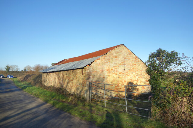
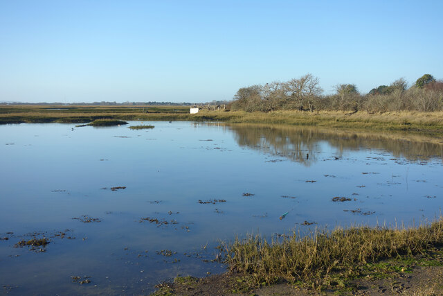
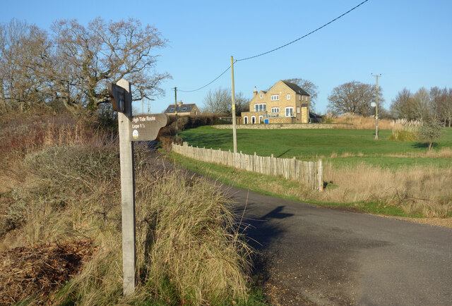
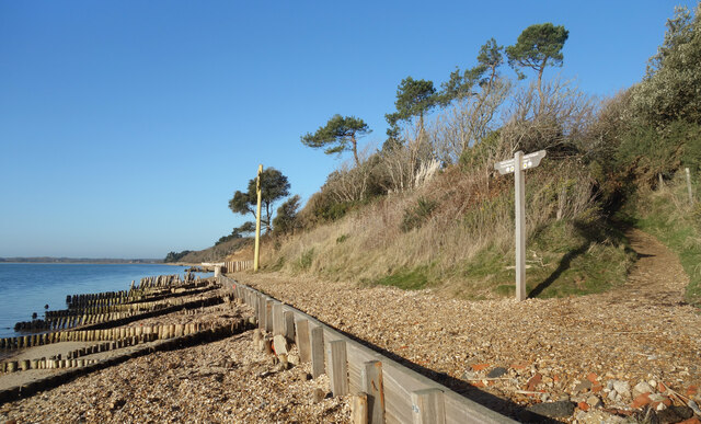
Chale Wood Images

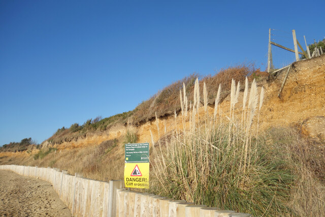
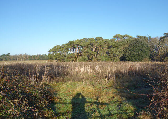
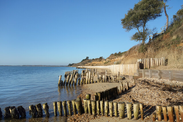
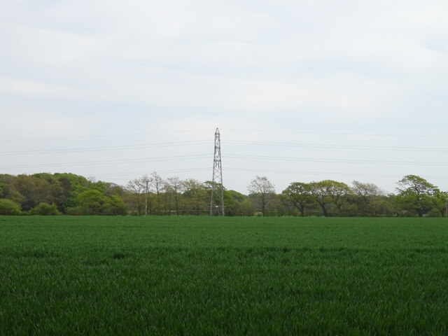
Images are sourced within 2km of 50.800666/-1.3749306 or Grid Reference SU4400. Thanks to Geograph Open Source API. All images are credited.

Farm Track and Bridleway A bit smart for just a bridleway, this is also a drive to East Hill Farm.
Farm Track and Bridleway
A bit smart for just a bridleway, this is also a drive to East Hill Farm.
Footpath to Cump Copse Public footpath through farmland near Exbury.
Footpath to Cump Copse
Public footpath through farmland near Exbury.
Old Barn at Lepe Farm Part of a group of farm buildings and houses at Lepe Farm.
Old Barn at Lepe Farm
Part of a group of farm buildings and houses at Lepe Farm.
Lepe Farm Lepe is described by Wikipedia as a linear hamlet. Since medieval times it has been part of the parish of Exbury and Lepe. <span class="nowrap"><a title="https://en.wikipedia.org/wiki/Lepe,_Hampshire" rel="nofollow ugc noopener" href="https://en.wikipedia.org/wiki/Lepe,_Hampshire">Link</a><img style="margin-left:2px;" alt="External link" title="External link - shift click to open in new window" src="https://s1.geograph.org.uk/img/external.png" width="10" height="10"/></span>
Lepe Farm
Lepe is described by Wikipedia as a linear hamlet. Since medieval times it has been part of the parish of Exbury and Lepe. LinkExternal link
Three Stones, Barn The map calls this Three Stones, I'm not sure why. Two Sheds would be a better name because all that's here is this place and another one much the same off to my right.
Three Stones, Barn
The map calls this Three Stones, I'm not sure why. Two Sheds would be a better name because all that's here is this place and another one much the same off to my right.
High Tide at Exbury The water comes right up to the road at this point.
High Tide at Exbury
The water comes right up to the road at this point.
Old Stick In The Mud Often used derogatively for someone who is a bit grumpy and set in their ways, in this case it can be taken at face value.
Mudflats are very good at preserving old remains of long gone structures.
Old Stick In The Mud
Often used derogatively for someone who is a bit grumpy and set in their ways, in this case it can be taken at face value. Mudflats are very good at preserving old remains of long gone structures.
House and Footpath Sign Down by the estuary here, the sign points out the two options for walking by the coast, along the shore when the tide is out or down the road when it's not. The house is one of a number of isolated properties outside Exbury village which make up the scattered parish of Exbury and Lepe.
House and Footpath Sign
Down by the estuary here, the sign points out the two options for walking by the coast, along the shore when the tide is out or down the road when it's not. The house is one of a number of isolated properties outside Exbury village which make up the scattered parish of Exbury and Lepe.
Coastal Footpath at Lepe There is no path as such for some of the way, but most of the time you can walk along the top of the shoreline fairly easily. High tides can put parts of the route underwater though.
Coastal Footpath at Lepe
There is no path as such for some of the way, but most of the time you can walk along the top of the shoreline fairly easily. High tides can put parts of the route underwater though.
Crumbling Coastline at Lepe You can see the soft sandy stuff that makes up the cliffs along here. It is eroded very easily.
Crumbling Coastline at Lepe
You can see the soft sandy stuff that makes up the cliffs along here. It is eroded very easily.
Aldermoor Land south of Exbury named on the map as Aldermoor.
Aldermoor
Land south of Exbury named on the map as Aldermoor.
Coastal Protection at Lepe The soft coastline is eroding. Protection here is provided by some fairly low key timberwork unlike nearby locations where more heavy duty concrete and boulders are used to try to limit the damage.
Coastal Protection at Lepe
The soft coastline is eroding. Protection here is provided by some fairly low key timberwork unlike nearby locations where more heavy duty concrete and boulders are used to try to limit the damage.
Houses by the sea, Lepe The Watch House and the Coastguard Cottages make up a large part of the housing in the scattered hamlet of Lepe.
Houses by the sea, Lepe
The Watch House and the Coastguard Cottages make up a large part of the housing in the scattered hamlet of Lepe.
Coastguard Cottages, Lepe A terrace of houses built in 1828 when smuggling was a problem around here.
Coastguard Cottages, Lepe
A terrace of houses built in 1828 when smuggling was a problem around here.
Dark Water, Lepe Country Park The Dark Water is a short river flowing out of the New Forest which forms an expanse of tidal marshland here before entering the sea.
Dark Water, Lepe Country Park
The Dark Water is a short river flowing out of the New Forest which forms an expanse of tidal marshland here before entering the sea.
Cereal crop and pylon off Lepe Road
Lepe Road
Lepe Road
The Watch House, Lepe
Show me another place!

Chale Wood is located at Grid Ref: SU4400 (Lat: 50.800666, Lng: -1.3749306)

Administrative County: Hampshire

District: New Forest

Police Authority: Hampshire

What 3 Words

///shave.scrub.forum. Near Gurnard, Isle of Wight

Related Wikis

Exbury and Lepe

Exbury and Lepe is a civil parish in the New Forest in Hampshire, England. It is bounded to the west by the Beaulieu River, to the south by the shore...

Langley, Hampshire

Langley is a small village in the civil parish of Fawley in Hampshire, England. == History == The name Langley means "long wood/clearing". Langley is listed...

Exbury

Exbury is a village in Hampshire, England. It is in the civil parish of Exbury and Lepe. It lies just in the New Forest, near the Beaulieu River and about...

Exbury House

Exbury House is an English country house in Exbury and Lepe, Hampshire, situated on the edge of the New Forest. It is a Grade II* listed building with...

Nearby Amenities

Located within 500m of 50.800666,-1.3749306
Information: guidepost
Tourism: information
Lat/Long: 50.797928/-1.378251
Gas: post
Lat/Long: 50.7982198/-1.3782168
The data included in this document is from www.openstreetmap.org. The data is made available under ODbL.

Have you been to Chale Wood?

Leave your review of Chale Wood below (or comments, questions and feedback).