West Common

Settlement in Hampshire New Forest

England

West Common

Farm Track and Bridleway A bit smart for just a bridleway, this is also a drive to East Hill Farm.
Farm Track and Bridleway Credit: Des Blenkinsopp

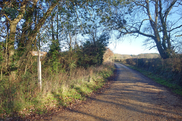
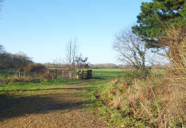
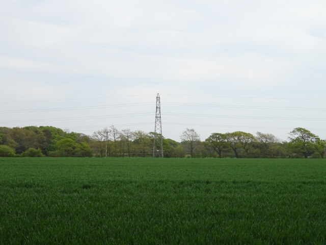
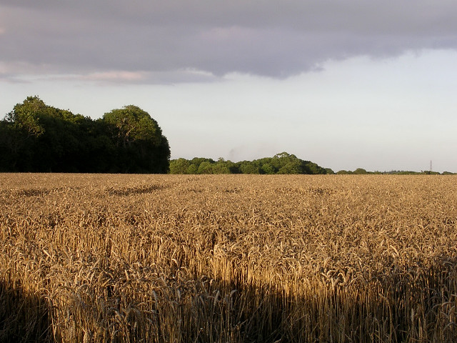
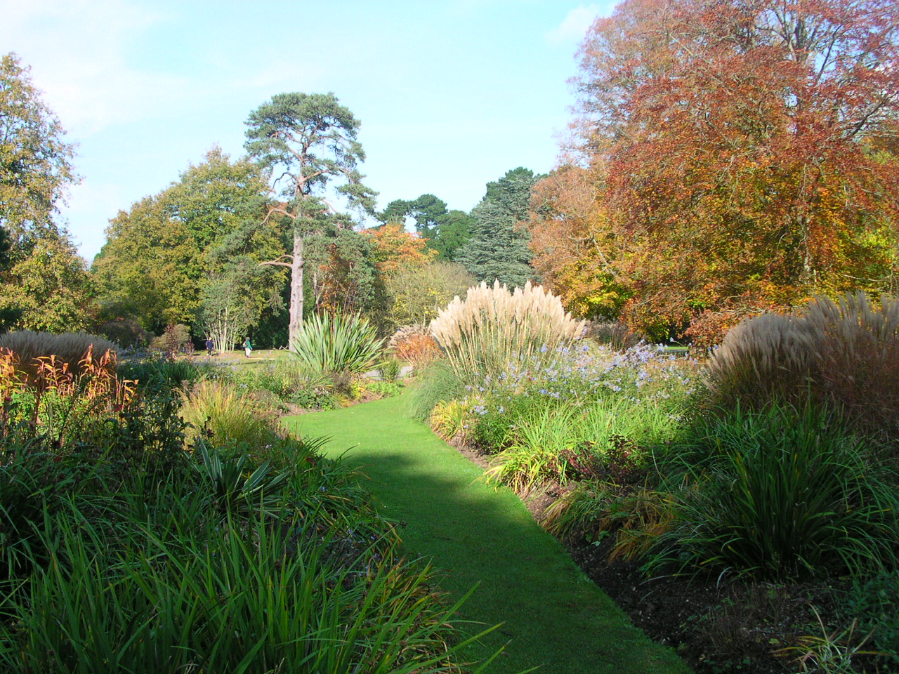
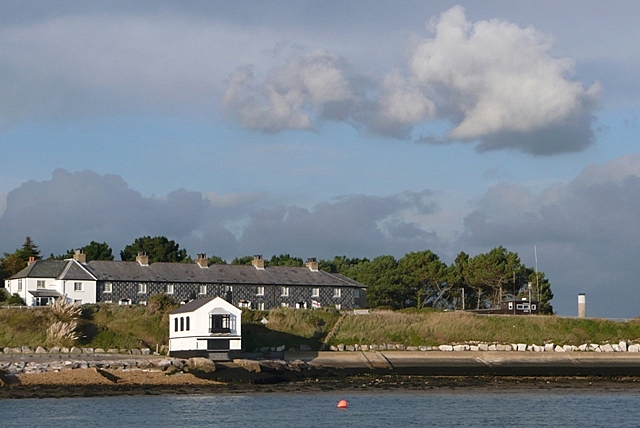
West Common is a picturesque area located in Hampshire, England. It is an extensive open space encompassing approximately 70 hectares of land, making it one of the largest common lands in the county. The area is predominantly covered by heathland, interspersed with patches of woodland and grassy meadows.

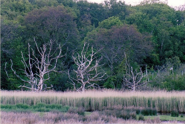
This natural haven is a haven for wildlife enthusiasts, as it is home to a diverse range of flora and fauna. The heathland supports a variety of heather species, gorse, and bracken, creating a vibrant and colorful landscape. The woodlands provide shelter for numerous bird species, including woodpeckers and owls, while the meadows attract butterflies and other insects.

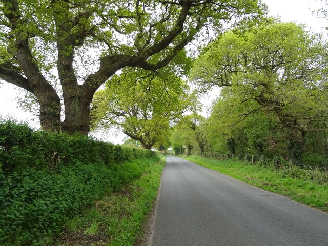
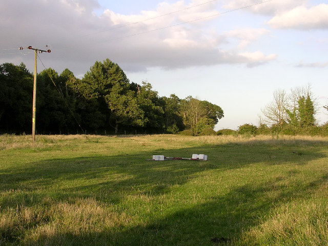
West Common also boasts a network of well-maintained footpaths, making it a popular destination for walkers, joggers, and cyclists. These paths offer stunning views of the surrounding countryside, including the nearby rolling hills and the picturesque village of West Town.

Furthermore, the common is equipped with facilities such as picnic areas and benches, allowing visitors to relax and enjoy the serene surroundings. In addition, there is a designated parking area, ensuring easy access for those arriving by car.

Overall, West Common in Hampshire is a tranquil and idyllic location, offering visitors the opportunity to immerse themselves in nature and enjoy the beauty of the English countryside.

If you have any feedback on the listing, please let us know in the comments section below.
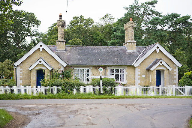
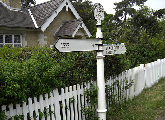
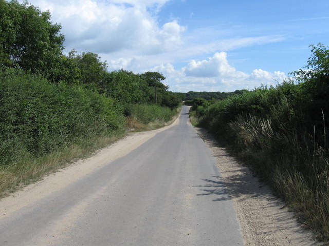
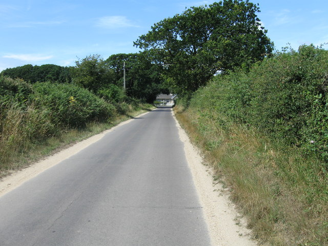
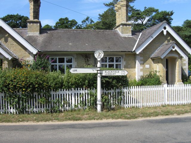
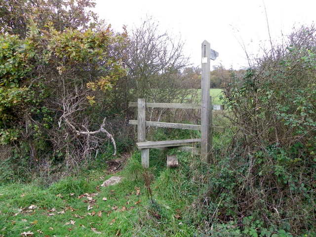
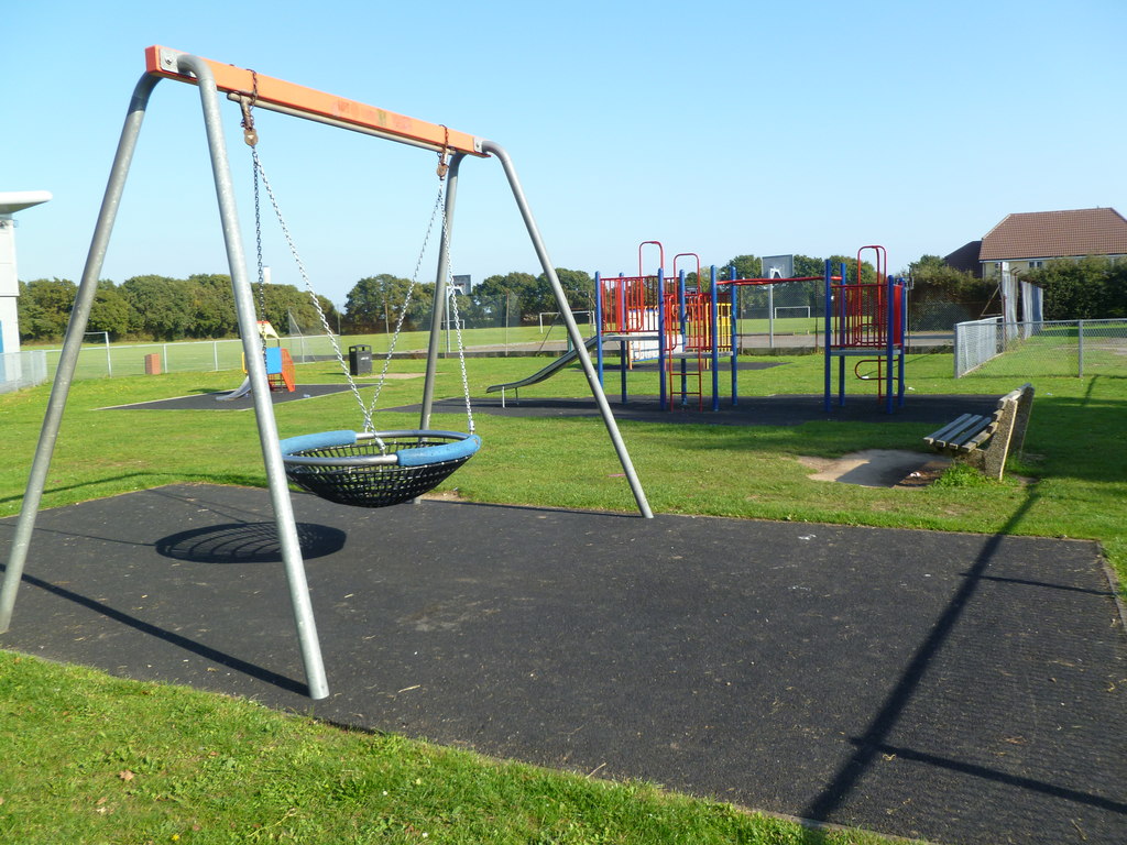
West Common Images

Images are sourced within 2km of 50.805375/-1.374819 or Grid Reference SU4400. Thanks to Geograph Open Source API. All images are credited.

Farm Track and Bridleway A bit smart for just a bridleway, this is also a drive to East Hill Farm.
Farm Track and Bridleway
A bit smart for just a bridleway, this is also a drive to East Hill Farm.
Footpath to Cump Copse Public footpath through farmland near Exbury.
Footpath to Cump Copse
Public footpath through farmland near Exbury.
Old Barn at Lepe Farm Part of a group of farm buildings and houses at Lepe Farm.
Old Barn at Lepe Farm
Part of a group of farm buildings and houses at Lepe Farm.
Lepe Farm Lepe is described by Wikipedia as a linear hamlet. Since medieval times it has been part of the parish of Exbury and Lepe. <span class="nowrap"><a title="https://en.wikipedia.org/wiki/Lepe,_Hampshire" rel="nofollow ugc noopener" href="https://en.wikipedia.org/wiki/Lepe,_Hampshire">Link</a><img style="margin-left:2px;" alt="External link" title="External link - shift click to open in new window" src="https://s1.geograph.org.uk/img/external.png" width="10" height="10"/></span>
Lepe Farm
Lepe is described by Wikipedia as a linear hamlet. Since medieval times it has been part of the parish of Exbury and Lepe. LinkExternal link
Cereal crop and pylon off Lepe Road
Lepe Road
Lepe Road
Ripe wheatfield between Exbury and Lepe Looking north-west from the footpath north of The Green. Most of this grid square is arable land with scattered copses.
Ripe wheatfield between Exbury and Lepe
Looking north-west from the footpath north of The Green. Most of this grid square is arable land with scattered copses.
Corn crop west of Lepe Farm, Lepe Many game birds were hiding in this tall corn, as well as a young deer. The trees on the left are part of Cump Copse, and the chimney stack of Fawley Power Station can be seen in the distance.
Corn crop west of Lepe Farm, Lepe
Many game birds were hiding in this tall corn, as well as a young deer. The trees on the left are part of Cump Copse, and the chimney stack of Fawley Power Station can be seen in the distance.
Ripe wheatfield south of Lepe Farm, Lepe The smoke in the distance is rising from the oil refinery at Fawley.
Ripe wheatfield south of Lepe Farm, Lepe
The smoke in the distance is rising from the oil refinery at Fawley.
Horse field and Pophams Wood, southeast of Lepe Farm, Lepe The horse had wandered off into a corner of the field. In the background are the trees of Pophams Wood. This photo was taken from the lane that joins Exbury and Lepe.
Horse field and Pophams Wood, southeast of Lepe Farm, Lepe
The horse had wandered off into a corner of the field. In the background are the trees of Pophams Wood. This photo was taken from the lane that joins Exbury and Lepe.
Cottages at the junction of Stanswood Road and Lepe Road, Hants
Reedbed and trees, Lepe marsh
Junction between Lepe Road and Stanswood Road Also shown, numbers 1 & 2 Stone Cottages.
Junction between Lepe Road and Stanswood Road
Also shown, numbers 1 & 2 Stone Cottages.
Fingerpost near Lepe This attractive finger post is outside the cottages at the junction of Lepe Road with Stanswood Road.
Fingerpost near Lepe
This attractive finger post is outside the cottages at the junction of Lepe Road with Stanswood Road.
Stanswood Road, Lepe
Stanswood Road towards Lepe Road
Stanswood Road, Lepe Road junction
Stile near Exbury The stile is beside the minor road and allows walkers access to the footpath to Haxland Pits.
Stile near Exbury
The stile is beside the minor road and allows walkers access to the footpath to Haxland Pits.
Show me another place!

West Common is located at Grid Ref: SU4400 (Lat: 50.805375, Lng: -1.374819)

Administrative County: Hampshire

District: New Forest

Police Authority: Hampshire

What 3 Words

///pills.turned.noun. Near Gurnard, Isle of Wight

Related Wikis

Langley, Hampshire

Langley is a small village in the civil parish of Fawley in Hampshire, England. == History == The name Langley means "long wood/clearing". Langley is listed...

Exbury and Lepe

Exbury and Lepe is a civil parish in the New Forest in Hampshire, England. It is bounded to the west by the Beaulieu River, to the south by the shore...

Blackfield, Hampshire

Blackfield is a village in Hampshire, England. It is within the parish of Fawley, which is part of the ward of Fawley, Blackfield and Langley. == Schools... ==

Exbury

Exbury is a village in Hampshire, England. It is in the civil parish of Exbury and Lepe. It lies just in the New Forest, near the Beaulieu River and about...

Exbury House

Exbury House is an English country house in Exbury and Lepe, Hampshire, situated on the edge of the New Forest. It is a Grade II* listed building with...

Exbury Gardens

Exbury Gardens is a 200-acre (81 ha) informal woodland garden in Hampshire, England with large collections of rhododendrons, azaleas and camellias, and...

Blackfield & Langley F.C.

Blackfield & Langley Football Club is a football club based in the village of Blackfield, near Southampton, England. Affiliated to the Hampshire Football...

Lepe, Hampshire

Lepe is a linear hamlet on the Solent in south-west Hampshire, England. In the civil parish of Exbury and Lepe, It is beside the Dark Water, and has Lepe...

Related Videos

How Autumn Looks In England | Instagram Pictures vs. Reality | Fall Fashion | Travel Vlog UK

My first vlog! In this video I explore Exbury Gardens in Hampshire in the hopes of finding beautiful autumn locations for some ...

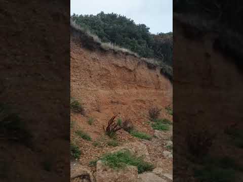
ASMR walking at Lepe Beach with my puppo. Day 2.

A wet morning at Lepe but still a pretty sunrise. Isle of wight - redjet - spinnaker tower - sandmartin nests - sand and sea - and a ...

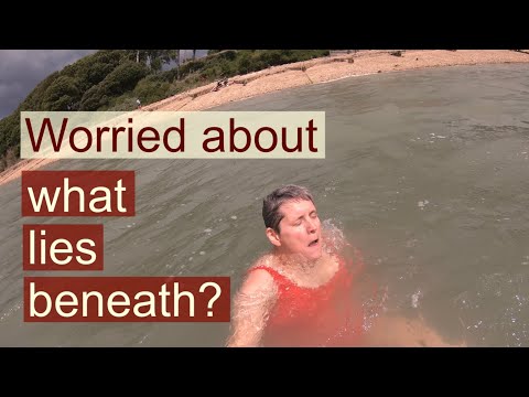
how to get past worries of what lies beneath and go outdoor swimming

It's natural to have worries of what lies beneath when starting outdoor swimming. Not being able to see to the bottom like we can ...

Nearby Amenities

Located within 500m of 50.805375,-1.374819
Turning Circle
Lat/Long: 50.8094794/-1.3756824
Turning Circle
Lat/Long: 50.8068591/-1.3722249
Turning Circle
Lat/Long: 50.8085239/-1.3717138
Turning Circle
Lat/Long: 50.8077771/-1.372266
Turning Circle
Lat/Long: 50.8082736/-1.3724408
Turning Circle
Lat/Long: 50.8087869/-1.3730611
Turning Circle
Lat/Long: 50.8084325/-1.3741765
Post Box
Ref: SO45 245D
Lat/Long: 50.8084996/-1.3755754
Direction: 145
Generator Method: photovoltaic
Generator Output Electricity: yes
Generator Solar Modules: 16
Generator Source: solar
Generator Type: solar_photovoltaic_panel
Location: roof
Power: generator
Lat/Long: 50.807679/-1.37306
Direction: WSW
Generator Method: photovoltaic
Generator Output Electricity: yes
Generator Solar Modules: 9
Generator Source: solar
Generator Type: solar_photovoltaic_panel
Location: roof
Power: generator
Lat/Long: 50.8091094/-1.3724601
Direction: 145
Generator Method: photovoltaic
Generator Output Electricity: yes
Generator Solar Modules: 16
Generator Source: solar
Generator Type: solar_photovoltaic_panel
Location: roof
Power: generator
Lat/Long: 50.80727/-1.3733876
Direction: 215
Generator Method: photovoltaic
Generator Output Electricity: yes
Generator Solar Modules: 10
Generator Source: solar
Generator Type: solar_photovoltaic_panel
Location: roof
Power: generator
Lat/Long: 50.8098305/-1.3749459
Direction: SSE
Generator Method: photovoltaic
Generator Output Electricity: yes
Generator Solar Modules: 14
Generator Source: solar
Generator Type: solar_photovoltaic_panel
Location: roof
Power: generator
Lat/Long: 50.8072502/-1.3757965
Direction: 145
Generator Method: photovoltaic
Generator Output Electricity: yes
Generator Solar Modules: 16
Generator Source: solar
Generator Type: solar_photovoltaic_panel
Location: roof
Power: generator
Lat/Long: 50.8069488/-1.3726108
Direction: 145
Generator Method: photovoltaic
Generator Output Electricity: yes
Generator Solar Modules: 16
Generator Source: solar
Generator Type: solar_photovoltaic_panel
Location: roof
Power: generator
Lat/Long: 50.8071395/-1.3729603
Direction: SSE
Generator Method: photovoltaic
Generator Output Electricity: yes
Generator Solar Modules: 6
Generator Source: solar
Generator Type: solar_photovoltaic_panel
Location: roof
Power: generator
Lat/Long: 50.8073328/-1.3751772
Direction: 145
Generator Method: photovoltaic
Generator Output Electricity: yes
Generator Solar Modules: 8
Generator Source: solar
Generator Type: solar_photovoltaic_panel
Location: roof
Power: generator
Lat/Long: 50.8070573/-1.3728795
Direction: 145
Generator Method: photovoltaic
Generator Output Electricity: yes
Generator Solar Modules: 10
Generator Source: solar
Generator Type: solar_photovoltaic_panel
Location: roof
Power: generator
Lat/Long: 50.8084058/-1.3702176
Direction: 145
Generator Method: photovoltaic
Generator Output Electricity: yes
Generator Solar Modules: 16
Generator Source: solar
Generator Type: solar_photovoltaic_panel
Location: roof
Power: generator
Lat/Long: 50.8092701/-1.3751425
Direction: 145
Generator Method: photovoltaic
Generator Output Electricity: yes
Generator Solar Modules: 18
Generator Source: solar
Generator Type: solar_photovoltaic_panel
Location: roof
Power: generator
Lat/Long: 50.8077373/-1.3739164
Direction: 145
Generator Method: photovoltaic
Generator Output Electricity: yes
Generator Solar Modules: 16
Generator Source: solar
Generator Type: solar_photovoltaic_panel
Location: roof
Power: generator
Lat/Long: 50.8091926/-1.375227
Direction: 145
Generator Method: photovoltaic
Generator Output Electricity: yes
Generator Solar Modules: 6
Generator Source: solar
Generator Type: solar_photovoltaic_panel
Location: roof
Power: generator
Lat/Long: 50.8067886/-1.3731596
Direction: SSE
Generator Method: photovoltaic
Generator Output Electricity: yes
Generator Solar Modules: 14
Generator Source: solar
Generator Type: solar_photovoltaic_panel
Location: roof
Power: generator
Lat/Long: 50.8076827/-1.376027
Direction: WSW
Generator Method: photovoltaic
Generator Output Electricity: yes
Generator Solar Modules: 12
Generator Source: solar
Generator Type: solar_photovoltaic_panel
Location: roof
Power: generator
Lat/Long: 50.8059706/-1.3770335
Direction: 185
Generator Method: photovoltaic
Generator Output Electricity: yes
Generator Solar Modules: 14
Generator Source: solar
Generator Type: solar_photovoltaic_panel
Location: roof
Power: generator
Lat/Long: 50.807798/-1.3767549
Direction: 235
Generator Method: photovoltaic
Generator Output Electricity: yes
Generator Solar Modules: 10
Generator Source: solar
Generator Type: solar_photovoltaic_panel
Location: roof
Power: generator
Lat/Long: 50.8084334/-1.3719094
Sturt Bridge
Place: locality
Lat/Long: 50.80481/-1.3789922
West Common
Place: quarter
Lat/Long: 50.8065534/-1.3765882
The data included in this document is from www.openstreetmap.org. The data is made available under ODbL.

Have you been to West Common?

Leave your review of West Common below (or comments, questions and feedback).