Whitefield Rough
Downs, Moorland in Hampshire New Forest
England
Whitefield Rough
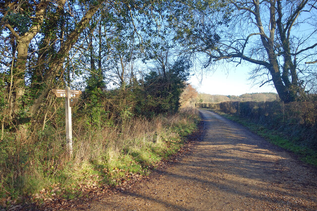
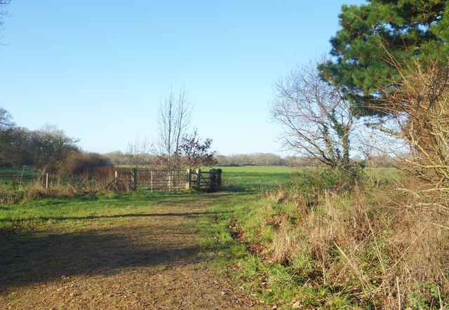
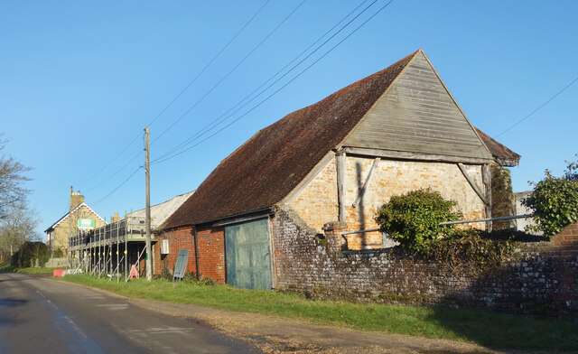
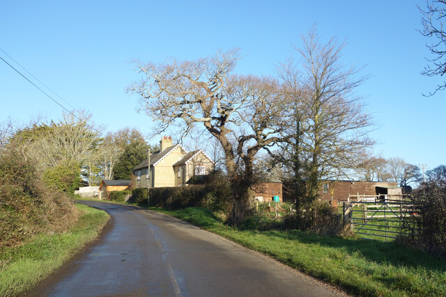
Whitefield Rough is a picturesque area located in Hampshire, England. Situated amidst the beautiful countryside, it encompasses a combination of downs and moorland landscapes, offering visitors a diverse and captivating experience.
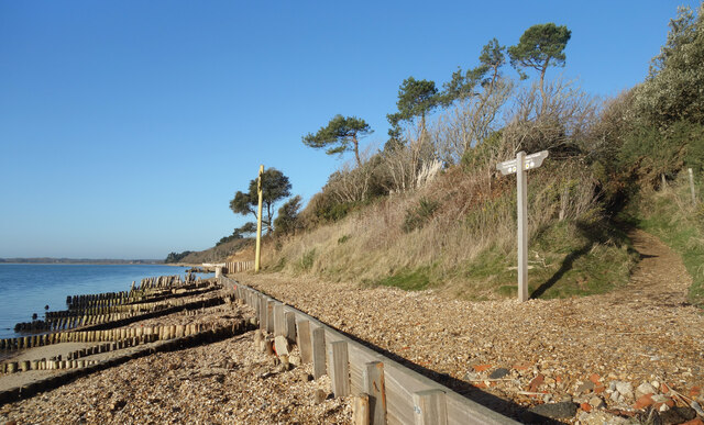
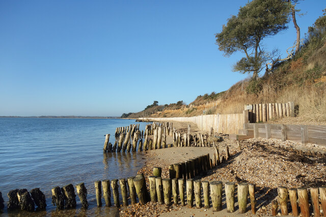
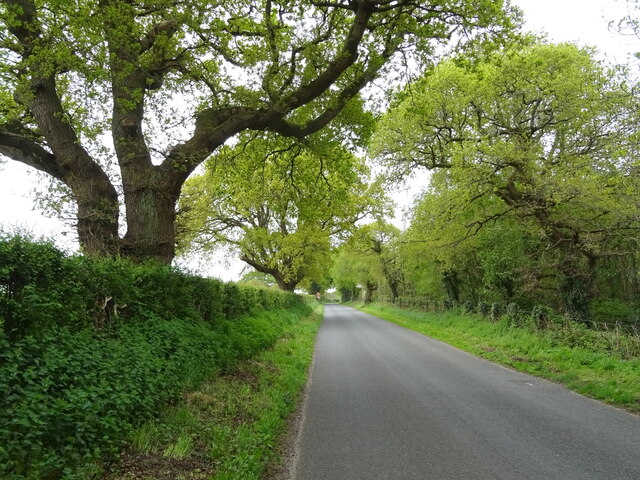
The downs of Whitefield Rough are characterized by rolling hills and expansive grasslands. These areas provide idyllic views of the surrounding countryside, with patches of vibrant wildflowers dotting the landscape during the warmer months. The downs also serve as grazing grounds for livestock, adding to the rural charm of the area.
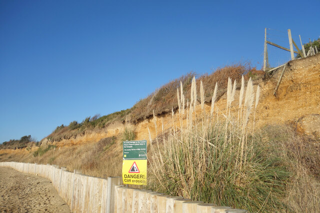
In contrast, the moorland of Whitefield Rough presents a different atmosphere. Here, visitors can explore vast stretches of heather-covered terrain, interspersed with scattered patches of gorse and bracken. The moorland supports a rich ecosystem, providing a habitat for various bird species, including skylarks and curlews.
Tranquility and natural beauty define Whitefield Rough, making it a popular destination for hikers, nature enthusiasts, and photographers. The area offers numerous walking trails, allowing visitors to immerse themselves in the serene surroundings and take in breathtaking panoramic views.
Additionally, Whitefield Rough is home to a diverse range of wildlife. Rabbits, foxes, and deer can often be spotted roaming the countryside, and the area is known for its birdwatching opportunities. The peaceful ambiance and abundance of flora and fauna make it an ideal location for those seeking a respite from the hustle and bustle of city life.
Overall, Whitefield Rough in Hampshire offers a delightful blend of downs and moorland landscapes, providing visitors with a tranquil and captivating experience amidst the natural beauty of the English countryside.
If you have any feedback on the listing, please let us know in the comments section below.
Whitefield Rough Images
Images are sourced within 2km of 50.800098/-1.3646362 or Grid Reference SU4400. Thanks to Geograph Open Source API. All images are credited.


Whitefield Rough is located at Grid Ref: SU4400 (Lat: 50.800098, Lng: -1.3646362)
Administrative County: Hampshire
District: New Forest
Police Authority: Hampshire
What 3 Words
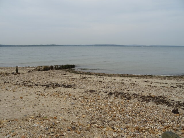
///sedative.enlarge.lamps. Near Gurnard, Isle of Wight
Nearby Locations
Related Wikis

Langley, Hampshire
Langley is a small village in the civil parish of Fawley in Hampshire, England. == History == The name Langley means "long wood/clearing". Langley is listed...

Exbury and Lepe
Exbury and Lepe is a civil parish in the New Forest in Hampshire, England. It is bounded to the west by the Beaulieu River, to the south by the shore...
Lepe, Hampshire
Lepe is a linear hamlet on the Solent in south-west Hampshire, England. In the civil parish of Exbury and Lepe, It is beside the Dark Water, and has Lepe...

Dark Water (river)
The Dark Water is a 5.5-mile (8.9 km) river in south-west Hampshire, England. It flows south from a source a few metres north-east of the New Forest, reaching...

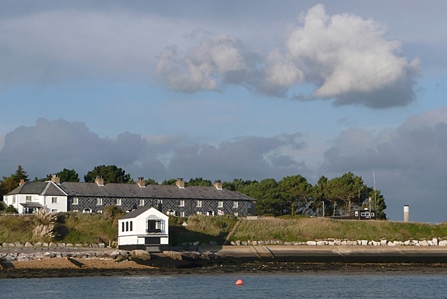
Solent Rescue
Solent Rescue is an independent inshore rescue lifeboat, not run by the RNLI, based at Lepe Country Park south of the New Forest, on the north shore of...
Blackfield, Hampshire
Blackfield is a village in Hampshire, England. It is within the parish of Fawley, which is part of the ward of Fawley, Blackfield and Langley. == Schools... ==

Exbury
Exbury is a village in Hampshire, England. It is in the civil parish of Exbury and Lepe. It lies just in the New Forest, near the Beaulieu River and about...

Exbury House
Exbury House is an English country house in Exbury and Lepe, Hampshire, situated on the edge of the New Forest. It is a Grade II* listed building with...
Nearby Amenities
Located within 500m of 50.800098,-1.3646362Have you been to Whitefield Rough?
Leave your review of Whitefield Rough below (or comments, questions and feedback).