West Field

Downs, Moorland in Yorkshire Hambleton

England

West Field

Mount Grace Priory - the manor house from the gardens
Mount Grace Priory - the manor house from the gardens Credit: C P Smith

West Field, Yorkshire is a picturesque region situated in the northern part of England. Known for its captivating beauty, it encompasses a diverse landscape consisting of downs and moorland. The area is characterized by rolling hills, vast open spaces, and an abundance of natural wonders.

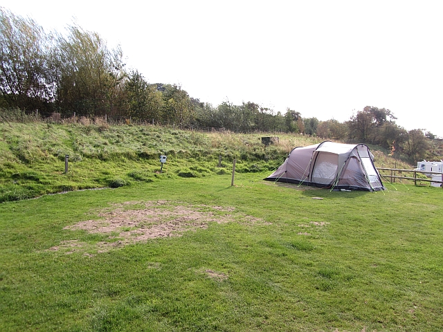
The downs in West Field, Yorkshire are renowned for their sweeping views and gently sloping terrain. These grassy uplands provide a perfect setting for outdoor activities such as hiking, picnicking, and birdwatching. The downs are adorned with colorful wildflowers during spring and summer, creating a visually stunning spectacle for visitors.

In contrast, the moorland in West Field offers a more rugged and untamed experience. It features vast expanses of heather-covered hills and peat bogs, with scattered rocky outcrops adding to its dramatic allure. The moors are home to a variety of wildlife, including rare bird species like the red grouse and birds of prey such as the merlin and peregrine falcon. They also provide an ideal habitat for grazing sheep and cattle.

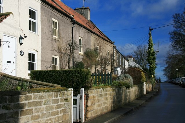
West Field, Yorkshire is a paradise for nature enthusiasts, offering a range of outdoor recreational opportunities. Walking trails crisscross the region, allowing visitors to explore its diverse ecosystems and discover hidden gems along the way. The area is also dotted with charming villages, where visitors can experience traditional Yorkshire hospitality and sample local cuisine.

Overall, West Field, Yorkshire's downs and moorland combine to create a captivating landscape that is both breathtaking and tranquil. Its natural beauty, diverse wildlife, and abundance of outdoor activities make it a must-visit destination for nature lovers and those seeking a peaceful retreat.

If you have any feedback on the listing, please let us know in the comments section below.

West Field Images

Images are sourced within 2km of 54.372595/-1.3105252 or Grid Reference SE4497. Thanks to Geograph Open Source API. All images are credited.

Mount Grace Priory - the manor house from the gardens
The tower of Mount Grace Priory from the gardens The point from which this picture was taken is some tens of yards to the west of the original monastic compound.
The tower of Mount Grace Priory from the gardens
The point from which this picture was taken is some tens of yards to the west of the original monastic compound.
West End, Osmotherley in 1984 The house nearest to the camera, on the left, is The Old Police House while on the right is the tower of St Peter's church
West End, Osmotherley in 1984
The house nearest to the camera, on the left, is The Old Police House while on the right is the tower of St Peter's church
West End, Osmotherley in 1984 My Renault 4GTL is seen parked outside The Golden Lion public house
West End, Osmotherley in 1984
My Renault 4GTL is seen parked outside The Golden Lion public house
North End, Osmotherley An uphill view past a cafe.
North End, Osmotherley
An uphill view past a cafe.
Cote Ghyll camp site Camp sites are incredibly rare in the North York Moors. This one was completely full, this pitch being taken soon after the photograph was.
Cote Ghyll camp site
Camp sites are incredibly rare in the North York Moors. This one was completely full, this pitch being taken soon after the photograph was.
Cote Ghyll Caravan & Camping Park One of the infrequent caravan sites in the North York Moors.  The sector seems dominated by the clubs which is no use to infrequent visitors to England.
This site is very good with excellent facilities.
Cote Ghyll Caravan & Camping Park
One of the infrequent caravan sites in the North York Moors. The sector seems dominated by the clubs which is no use to infrequent visitors to England. This site is very good with excellent facilities.
Cote Ghyll Caravan & Camping Park High quality camp site by Osmotherley Youth Hostel.
Cote Ghyll Caravan & Camping Park
High quality camp site by Osmotherley Youth Hostel.
Bench, Quarry Lane In memory of Alan Bosomworth.  A bench on Quarry Lane, above Osmotherley.
Bench, Quarry Lane
In memory of Alan Bosomworth. A bench on Quarry Lane, above Osmotherley.
Ruebury Lane, Osmotherley A loose surfaced residential street above the village with big views. The lane is used by the Cleveland Way.
Ruebury Lane, Osmotherley
A loose surfaced residential street above the village with big views. The lane is used by the Cleveland Way.
Old railway wagon, Chapel Wood Farm Beeching surplus stock put to use as an agricultural building. The road is used by the Cleveland Way.
Old railway wagon, Chapel Wood Farm
Beeching surplus stock put to use as an agricultural building. The road is used by the Cleveland Way.
Path, Chapel Wood Farm A path used by the Cleveland Way, which used to be advertised on television!  Those were the days - backpacking trips promoted in the advertising breaks.
Path, Chapel Wood Farm
A path used by the Cleveland Way, which used to be advertised on television! Those were the days - backpacking trips promoted in the advertising breaks.
Arncliffe Wood A well surfaced path, thanks to the long distance path budget. It is an attractive route running through birch woods and passing quarry workings.
Arncliffe Wood
A well surfaced path, thanks to the long distance path budget. It is an attractive route running through birch woods and passing quarry workings.
Road to Whitehouse A house access road and path to Osmotherley.
Road to Whitehouse
A house access road and path to Osmotherley.
Enclosed footpath Normally unpleasant, this path has been saved from the mud by old floor slabs. The fences divide the field up into small paddocks.
Enclosed footpath
Normally unpleasant, this path has been saved from the mud by old floor slabs. The fences divide the field up into small paddocks.
Sheep by Stony Lane In the distance is Rueberry Hill.
Sheep by Stony Lane
In the distance is Rueberry Hill.
A19 - 1/4 mile to A172 exit This should have been my turning, but feeling certain that a place as big as Guisborough would be on the sign, the turning was overshot.
A19 - 1/4 mile to A172 exit
This should have been my turning, but feeling certain that a place as big as Guisborough would be on the sign, the turning was overshot.
A19 - Tyne Tunnel 48 The brown sign directs to Mount Grace Priory, an ancient monument.
A19 - Tyne Tunnel 48
The brown sign directs to Mount Grace Priory, an ancient monument.
Show me another place!

West Field is located at Grid Ref: SE4497 (Lat: 54.372595, Lng: -1.3105252)

Division: North Riding

Administrative County: North Yorkshire

District: Hambleton

Police Authority: North Yorkshire

What 3 Words

///flippers.shopping.connects. Near Brompton, North Yorkshire

Related Wikis

Osmotherley Friends Meeting House

Osmotherley Friends Meeting House is a Friends Meeting House of the Religious Society of Friends (Quakers), situated in the village of Osmotherley in North...

The Shrine of Our Lady of Mount Grace

The Shrine of Our Lady of Mount Grace is a place of Marian devotion and pilgrimage sited in the North Yorkshire village of Osmotherley. Christians have...
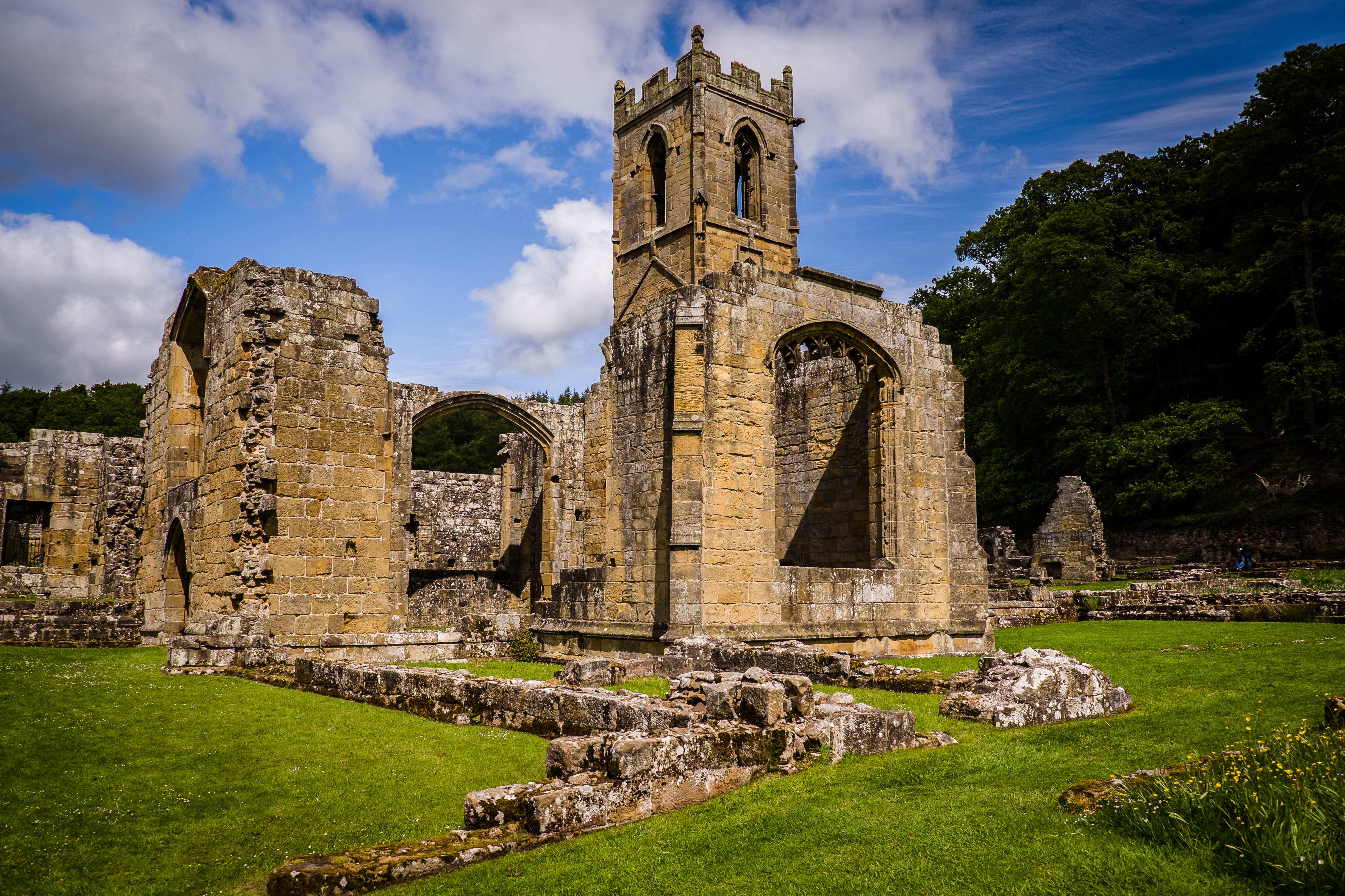
Mount Grace Priory

Mount Grace Priory is a monastery in the parish of East Harlsey, North Yorkshire, England. Set in woodlands within the North York Moors National Park,...

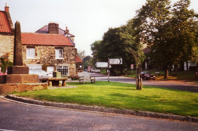
Osmotherley, North Yorkshire

Osmotherley is a village and civil parish in the Hambleton hills in North Yorkshire, six miles north-east of Northallerton. The village is at the western...

Thimbleby, North Yorkshire

Thimbleby is a small village and civil parish in the Hambleton District of North Yorkshire, England, it is in the North Yorks Moors and close to the village...

Cod Beck Reservoir

Cod Beck Reservoir is a man-made lake situated within the North York Moors National Park and near the village of Osmotherley in the English county of North...

Ellerbeck

Ellerbeck is a small village and civil parish in North Yorkshire, England. The population of the parish was estimated at 50 in 2011 and 2011. As the population...

East Harlsey

East Harlsey is a village and civil parish in the Hambleton District of North Yorkshire, England. It is about 1 mile (2 km) west of Ingleby Arncliffe and...

Nearby Amenities

Located within 500m of 54.372595,-1.3105252
Clack
Place: hamlet
Lat/Long: 54.3684412/-1.3097098
Barrier: stile
Step Count: 1
Stile: stepover
Lat/Long: 54.3750694/-1.307654
Barrier: stile
Step Count: 2
Stile: stepover
Lat/Long: 54.3752012/-1.3086555
Post Box
Operator: Royal Mail
Ref: DL6 182
Lat/Long: 54.3683681/-1.3094657
Barrier: cattle_grid
Lat/Long: 54.3757861/-1.3052106
Barrier: stile
Step Count: 2
Stile: stepover
Lat/Long: 54.3703572/-1.3049309
Barrier: stile
Step Count: 2
Stile: stepover
Lat/Long: 54.3715123/-1.3066756
Barrier: stile
Step Count: 2
Stile: stepover
Lat/Long: 54.371251/-1.3064395
Barrier: stile
Step Count: 3
Stile: stepover
Lat/Long: 54.3714736/-1.3081329
Barrier: stile
Step Count: 1
Stile: stepover
Lat/Long: 54.370792/-1.3049449
Power: pole
Lat/Long: 54.3700867/-1.3042818
Power: pole
Lat/Long: 54.3756559/-1.3157764
Power: pole
Lat/Long: 54.3747857/-1.3160661
Power: pole
Lat/Long: 54.3739225/-1.3163531
Power: pole
Lat/Long: 54.3730523/-1.316632
Power: pole
Lat/Long: 54.3722976/-1.3159682
Power: pole
Lat/Long: 54.3715406/-1.3152856
Power: pole
Lat/Long: 54.370782/-1.3146083
Power: pole
Lat/Long: 54.3704117/-1.3136373
Power: pole
Lat/Long: 54.3700328/-1.312665
Power: pole
Lat/Long: 54.3699235/-1.3111818
Power: pole
Lat/Long: 54.3698149/-1.3096945
Power: pole
Lat/Long: 54.3696938/-1.3082394
Power: pole
Lat/Long: 54.3695836/-1.3066542
Power: pole
Lat/Long: 54.3694664/-1.3051602
Westlands Farm
Place: farm
Source Name: OS OpenData StreetView
Lat/Long: 54.3721383/-1.3092801
Siddle Farm
Place: farm
Source Name: OS OpenData StreetView
Lat/Long: 54.3735749/-1.3076359
Power: pole
Lat/Long: 54.3710258/-1.316966
The data included in this document is from www.openstreetmap.org. The data is made available under ODbL.

Have you been to West Field?

Leave your review of West Field below (or comments, questions and feedback).