Wellington Heath

Settlement in Herefordshire

England

Wellington Heath

Bridge over the River Leadon Bridge over the River Leadon on the B4214, north of Ledbury.
Bridge over the River Leadon Credit: Philip Halling

Wellington Heath is a small village located in the county of Herefordshire, England. Situated in the western part of the county, it lies approximately three miles south of the market town of Ledbury. The village is nestled within the beautiful countryside, surrounded by rolling hills and picturesque landscapes.

With a population of around 400 residents, Wellington Heath maintains a tight-knit community atmosphere. The village features a mix of traditional and modern architecture, including charming cottages and more contemporary homes. The parish church, St. Margaret's, is a notable landmark with its historic architecture and peaceful surroundings.

Wellington Heath offers a range of amenities for its residents. The village has a primary school, providing education for the local children, and a village hall that serves as a hub for community activities and events. Additionally, there is a well-maintained cricket ground that hosts matches during the summer months.

Nature lovers will find plenty to explore in the surrounding area. Wellington Heath is situated near the Malvern Hills Area of Outstanding Natural Beauty, which offers breathtaking views and opportunities for outdoor activities such as hiking, cycling, and wildlife spotting. The nearby Ledbury Park and Eastnor Castle are also popular destinations for visitors.

Overall, Wellington Heath is a peaceful and idyllic village that provides a tranquil countryside lifestyle with easy access to nearby towns and natural beauty spots. Its strong sense of community and stunning surroundings make it an attractive place to live or visit.

If you have any feedback on the listing, please let us know in the comments section below.

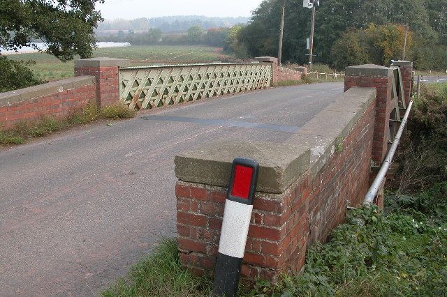
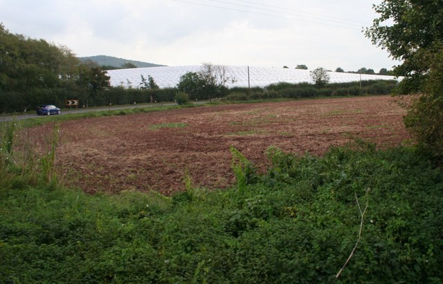
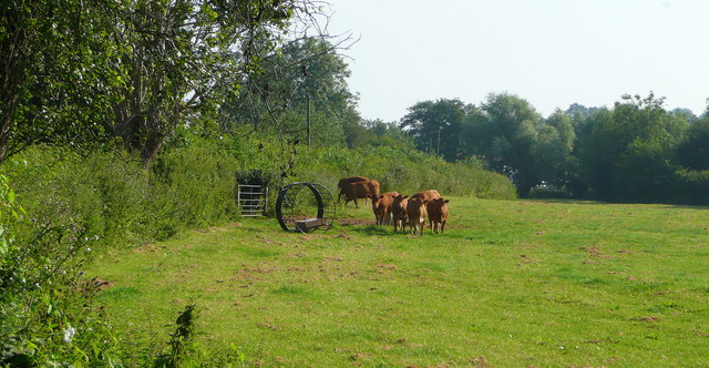
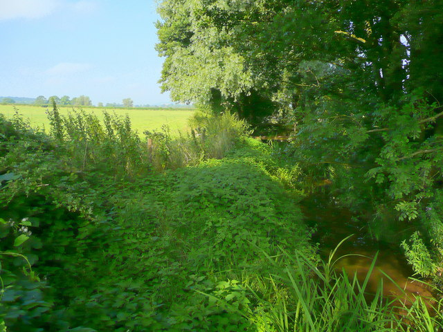
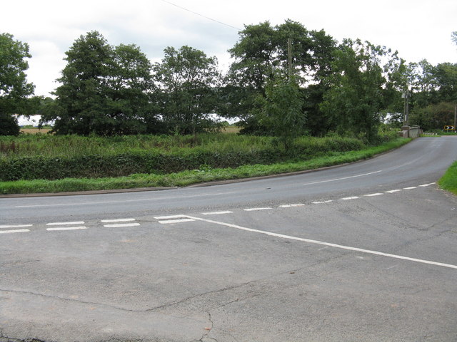
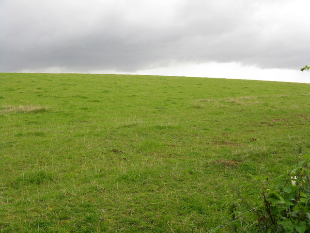
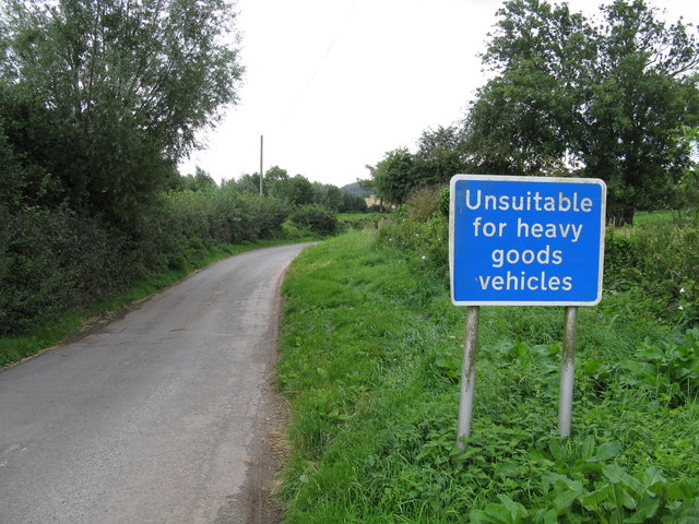
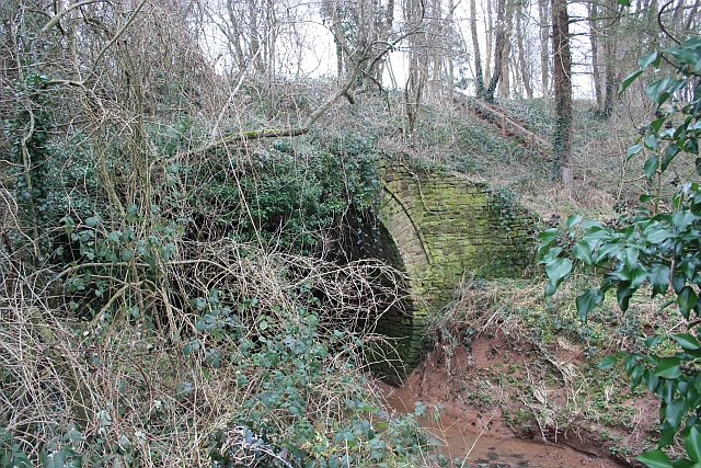
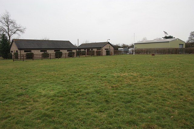
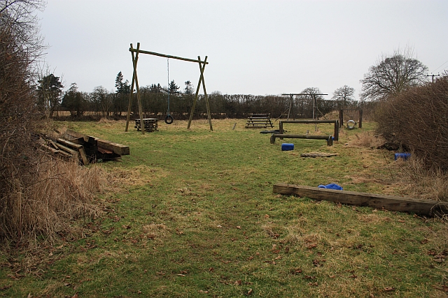
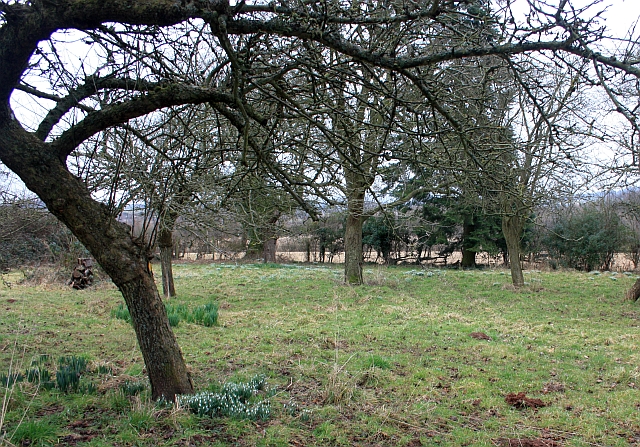
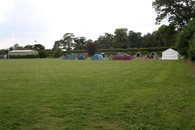
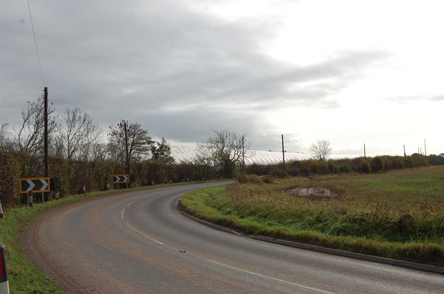
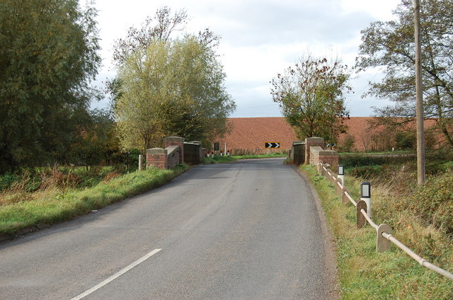
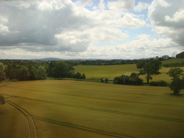
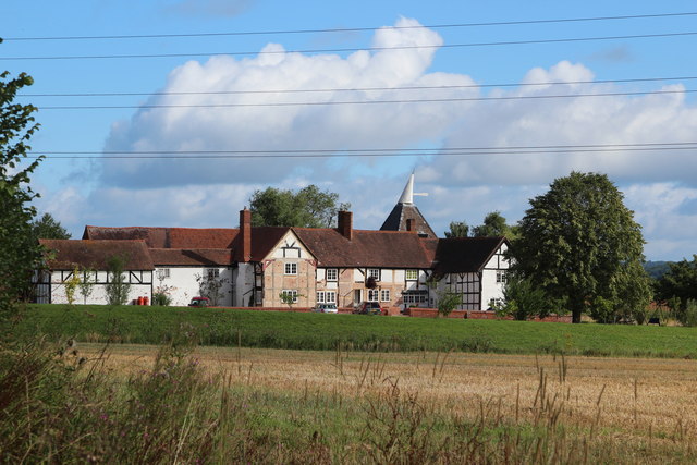
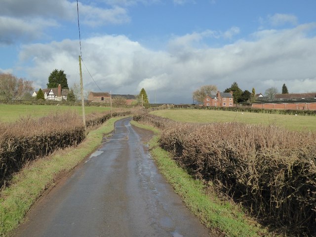
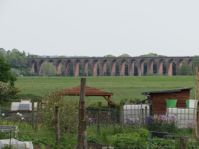
Wellington Heath Images

Images are sourced within 2km of 52.060848/-2.4233103 or Grid Reference SO7140. Thanks to Geograph Open Source API. All images are credited.

Bridge over the River Leadon Bridge over the River Leadon on the B4214, north of Ledbury.
Bridge over the River Leadon
Bridge over the River Leadon on the B4214, north of Ledbury.
Polytunnels,  North of Ledbury Taken from the <a href="https://www.geograph.org.uk/photo/66558">SO6940 : Bridge over the River Leadon</a>.
Polytunnels, North of Ledbury
Young cattle at Storesbrook In pasture to the east of the Plaistow Lane.
Young cattle at Storesbrook
In pasture to the east of the Plaistow Lane.
Stores Brook This small brook flows east from Munsley to meet the Leadon and then flow south-east to the Severn near Gloucester.
Stores Brook
This small brook flows east from Munsley to meet the Leadon and then flow south-east to the Severn near Gloucester.
Tight curve on the B4214 The Bromyard-Ledbury road flicks from one side of the River Leadon to the other by means of a narrow bridge and two sharp curves.  Taken from the junction on the western curve, polytunnels are visible in the distance - a subject of some local controversy.
Tight curve on the B4214
The Bromyard-Ledbury road flicks from one side of the River Leadon to the other by means of a narrow bridge and two sharp curves. Taken from the junction on the western curve, polytunnels are visible in the distance - a subject of some local controversy.
Hillside by the B4214
Unsuitable for HGVs A clear message at the entry to the lane to Plaistow Farm off the B4214 dissuades lorries from taking a short cut.
Unsuitable for HGVs
A clear message at the entry to the lane to Plaistow Farm off the B4214 dissuades lorries from taking a short cut.
Aqueduct near Staplow Carrying the old Hereford and Gloucester canal above the River Leadon.
Aqueduct near Staplow
Carrying the old Hereford and Gloucester canal above the River Leadon.
Scout buildings , Warren Oak Scout Camp, Staplow Looking over one of the several camp sites at this camp.
Scout buildings , Warren Oak Scout Camp, Staplow
Looking over one of the several camp sites at this camp.
Assault course, Warren Oak Scout Camp, Staplow Part of the 15 acre camp site.
<span class="nowrap"><a title="http://www.malvernscouts.org.uk/index.php?q=node/36" rel="nofollow ugc noopener" href="http://www.malvernscouts.org.uk/index.php?q=node/36">Link</a><img style="margin-left:2px;" alt="External link" title="External link - shift click to open in new window" src="https://s1.geograph.org.uk/img/external.png" width="10" height="10"/></span>
Assault course, Warren Oak Scout Camp, Staplow
Part of the 15 acre camp site. LinkExternal link
Snowdrops in the old orchard Where the footpath crosses the old orchard at the back of Wood Leigh.
Snowdrops in the old orchard
Where the footpath crosses the old orchard at the back of Wood Leigh.
Guide Camp at Warren Oak A mixture of Guides from several companies enjoying the very warm summer weather.
Guide Camp at Warren Oak
A mixture of Guides from several companies enjoying the very warm summer weather.
Polytunnels near the road
Bridge over the Leadon Notice red coloured clay, so common in Herefordshire
Bridge over the Leadon
Notice red coloured clay, so common in Herefordshire
Arable Fields, Ledbury
Oast House at Rhea Farm, Ledbury Single square kiln oast house.
Oast House at Rhea Farm, Ledbury
Single square kiln oast house.
Approaching Plaistow Country road approaching Plaistow.
Approaching Plaistow
Country road approaching Plaistow.
Ledbury Viaduct Ledbury Viaduct, taken from the Ledbury Allotments.
Ledbury Viaduct
Ledbury Viaduct, taken from the Ledbury Allotments.
Show me another place!

Wellington Heath is located at Grid Ref: SO7140 (Lat: 52.060848, Lng: -2.4233103)

Unitary Authority: County of Herefordshire

Police Authority: West Mercia

What 3 Words

///across.adopting.dares. Near Ledbury, Herefordshire

Related Wikis

Wellington Heath

Wellington Heath is a small village and civil parish in Herefordshire, England, approximately 1.5 miles (2.4 km) north of Ledbury. The population was recorded...

Hope End

Hope End is an area and former estate of Herefordshire, England, near the Malvern Hills, noted for its literary associations. As described by a 19th-century...

Herefordshire and Gloucestershire Canal

The Herefordshire and Gloucestershire Canal (sometimes known as the Hereford and Gloucester Canal) is a canal in the west of England, which ran from Hereford...

Ledbury Signal Box

Ledbury Signal Box is a typical Great Western Railway traditional lever frame signal box which remains in daily use at Ledbury Station, Herefordshire,...

Nearby Amenities

Located within 500m of 52.060848,-2.4233103
Wellington Heath
Is In: Herefordshire
Place: village
Source: npe
Wikidata: Q20107257
Lat/Long: 52.0611466/-2.421946
Pub
Farmers Arms
Addr Place: Wellington Heath
Addr Postcode: HR8 1LS
Addr Street: Ochre Hill
Fhrs Id: 942663
Source Addr: FHRS Open Data
Url: http://www.farmersarmsledbury.co.uk/
Lat/Long: 52.0600633/-2.42225
Bus Stop
Horse Road
Bus: yes
Naptan AtcoCode: 2090A010144
Naptan Bearing: N
Naptan CommonName: Horse Road
Naptan Indicator: opp
Naptan NaptanCode: heratgpw
Naptan Street: Ledbury Road
Naptan Verified: no
Public Transport: platform
Source: naptan_import
Lat/Long: 52.057159/-2.4263669
Bus Stop
The Farmers Arms
Bus: yes
Naptan AtcoCode: 2090A0106138
Naptan Bearing: NE
Naptan CommonName: The Farmers Arms
Naptan Indicator: adj
Naptan Landmark: The Farmers Arms
Naptan NaptanCode: heratgmp
Naptan Street: Horse Road
Naptan Verified: no
Public Transport: platform
Source: naptan_import
Lat/Long: 52.0594724/-2.4218356
Bus Stop
Floyds Lane
Bus: yes
Naptan AtcoCode: 2090A0106140
Naptan Bearing: SW
Naptan CommonName: Floyds Lane
Naptan Indicator: adj
Naptan NaptanCode: heratgmt
Naptan Street: Ledbury Road
Naptan Verified: no
Public Transport: platform
Source: naptan_import
Lat/Long: 52.0607297/-2.4234983
Bus Stop
Floyds Lane
Bus: yes
Naptan AtcoCode: 2090A0106142
Naptan Bearing: NE
Naptan CommonName: Floyds Lane
Naptan Indicator: opp
Naptan NaptanCode: heratgmw
Naptan Street: Ledbury Road
Naptan Verified: no
Public Transport: platform
Source: naptan_import
Lat/Long: 52.0607537/-2.4237638
Bus Stop
Horse Road
Bus: yes
Naptan AtcoCode: 2090A0106146
Naptan Bearing: S
Naptan CommonName: Horse Road
Naptan Indicator: adj
Naptan NaptanCode: heratgpa
Naptan Street: Ledbury Road
Naptan Verified: no
Public Transport: platform
Source: naptan_import
Lat/Long: 52.0576545/-2.4260945
Bus Stop
Oak Tree
Bus: yes
Naptan AtcoCode: 2090A067800
Naptan Bearing: SW
Naptan BusStopType: CUS
Naptan CommonName: Oak Tree
Naptan Indicator: adj
Naptan Landmark: Old Church- Oak tree
Naptan NaptanCode: heradgjd
Naptan Street: Church Lane
Naptan Verified: no
Public Transport: platform
Source: naptan_import
Lat/Long: 52.0637252/-2.4205654
Bus Stop
The Common
Bus: yes
Naptan AtcoCode: 2090A107000
Naptan Bearing: N
Naptan BusStopType: CUS
Naptan CommonName: The Common
Naptan Indicator: Towards Loxter
Naptan Landmark: N/K
Naptan NaptanCode: heradmpg
Naptan Street: The Common
Naptan Verified: no
Public Transport: platform
Source: naptan_import
Lat/Long: 52.061233/-2.4210525
Bus Stop
Oak Tree
Bus: yes
Naptan AtcoCode: 2090A18745
Naptan Bearing: NE
Naptan BusStopType: CUS
Naptan CommonName: Oak Tree
Naptan Indicator: opp
Naptan Landmark: Old Church- Oak Tree
Naptan NaptanCode: herajdat
Naptan Street: Church Lane
Naptan Verified: no
Public Transport: platform
Source: naptan_import
Lat/Long: 52.063712/-2.4207207
Bus Stop
The Common
Bus: yes
Naptan AtcoCode: 2090A19743
Naptan Bearing: S
Naptan BusStopType: CUS
Naptan CommonName: The Common
Naptan Indicator: From Loxter
Naptan Landmark: N/K
Naptan NaptanCode: heramjgj
Naptan Street: The Common
Naptan Verified: no
Public Transport: platform
Source: naptan_import
Lat/Long: 52.0611619/-2.420833
Post Box
Collection Times: Mo-Fr 16:30; Sa 08:00
Description: Against wooden fence
Post Box Type: lamp
Ref: HR8 739
Lat/Long: 52.063953/-2.420833
Bench
Description: Round; Metal; Surrounds tree
Lat/Long: 52.064041/-2.4205333
Post Box
Collection Times: Mo-Fr 16:30; Sa 07:00
Description: Left, and slightly downhill (E) of entrance to The Farmers Arms
In short old-brick wall opposite fenced area called "Pool Piece".
Wall and PB are completely hidden by foliage/blossom.
Post Box Type: wall
Ref: HR8 320
Lat/Long: 52.0596021/-2.4215175
Board Type: notice
Information: board
Tourism: information
Lat/Long: 52.0597057/-2.4213028
Telephone
Defibrillator
Booth: K6
Covered: booth
Defibrillator Location: inside red phone box, The Common, Wellington Heath
Emergency: defibrillator
Man Made: telephone_box
Lat/Long: 52.0599295/-2.4213718
Bench
Lat/Long: 52.0645203/-2.4192976
Barrier: kissing_gate
Source: survey
Lat/Long: 52.0630101/-2.4169054
Barrier: kissing_gate
Source: survey
Lat/Long: 52.0633165/-2.4183376
Barrier: kissing_gate
Source: survey+gps
Lat/Long: 52.0571473/-2.4262469
Barrier: kissing_gate
Source: survey+gps
Lat/Long: 52.0571582/-2.4262614
Fire Hydrant
Emergency: fire_hydrant
Fire Hydrant Type: underground
Source: survey
Lat/Long: 52.0641007/-2.4204522
Grit Bin
Source: survey
Lat/Long: 52.0640574/-2.4207647
Generator Method: photovoltaic
Generator Output Electricity: yes
Generator Source: solar
Generator Type: solar_photovoltaic_panel
Location: roof
Power: generator
Lat/Long: 52.0607994/-2.4213991
Generator Method: photovoltaic
Generator Output Electricity: yes
Generator Source: solar
Generator Type: solar_photovoltaic_panel
Location: roof
Power: generator
Lat/Long: 52.0584378/-2.4220495
Generator Method: photovoltaic
Generator Output Electricity: yes
Generator Source: solar
Generator Type: solar_photovoltaic_panel
Location: roof
Power: generator
Lat/Long: 52.0588839/-2.4215533
Generator Method: photovoltaic
Generator Output Electricity: yes
Generator Source: solar
Generator Type: solar_photovoltaic_panel
Location: roof
Power: generator
Lat/Long: 52.059499/-2.4212489
Generator Method: photovoltaic
Generator Output Electricity: yes
Generator Source: solar
Generator Type: solar_photovoltaic_panel
Location: roof
Power: generator
Lat/Long: 52.0595551/-2.4232002
Generator Method: photovoltaic
Generator Output Electricity: yes
Generator Source: solar
Generator Type: solar_photovoltaic_panel
Location: roof
Power: generator
Lat/Long: 52.0618663/-2.4186927
Generator Method: photovoltaic
Generator Output Electricity: yes
Generator Source: solar
Generator Type: solar_photovoltaic_panel
Location: roof
Power: generator
Lat/Long: 52.0628326/-2.4196731
Generator Method: photovoltaic
Generator Output Electricity: yes
Generator Source: solar
Generator Type: solar_photovoltaic_panel
Location: roof
Power: generator
Lat/Long: 52.0627386/-2.4196355
Generator Method: photovoltaic
Generator Output Electricity: yes
Generator Source: solar
Generator Type: solar_photovoltaic_panel
Location: roof
Power: generator
Lat/Long: 52.0615785/-2.4215345
Generator Method: photovoltaic
Generator Output Electricity: yes
Generator Source: solar
Generator Type: solar_photovoltaic_panel
Location: roof
Power: generator
Lat/Long: 52.0615728/-2.4216217
Generator Method: photovoltaic
Generator Output Electricity: yes
Generator Source: solar
Generator Type: solar_photovoltaic_panel
Location: roof
Power: generator
Lat/Long: 52.0610945/-2.4215077
Generator Method: photovoltaic
Generator Output Electricity: yes
Generator Source: solar
Generator Type: solar_photovoltaic_panel
Location: roof
Power: generator
Lat/Long: 52.0611152/-2.4216203
Grit Bin
Lat/Long: 52.0598058/-2.4213887
The Withers
Power: pole
Transformer: distribution
Voltage Primary: 11000
Lat/Long: 52.0628664/-2.4287792
Power: pole
Lat/Long: 52.0620922/-2.4288422
Callow Croft
Power: pole
Transformer: distribution
Voltage Primary: 11000
Lat/Long: 52.0609263/-2.4254552
The Brambles
Power: pole
Transformer: distribution
Voltage Primary: 11000
Lat/Long: 52.0615468/-2.4248195
Power: pole
Lat/Long: 52.0615505/-2.4250127
Power: pole
Lat/Long: 52.061574/-2.4260453
Power: pole
Lat/Long: 52.061595/-2.4273811
Burtons Bungalow
Power: pole
Transformer: distribution
Voltage Primary: 11000
Lat/Long: 52.0616185/-2.4288851
Power: pole
Lat/Long: 52.0608356/-2.4289629
Power: pole
Lat/Long: 52.0601933/-2.4294537
Power: pole
Lat/Long: 52.0595654/-2.4299271
Wellington Heath North
Power: pole
Transformer: distribution
Voltage Primary: 11000
Lat/Long: 52.0637548/-2.4200023
Hill Cottages West Heath
Power: pole
Transformer: distribution
Voltage Primary: 11000
Lat/Long: 52.0634329/-2.4186015
Power: pole
Lat/Long: 52.0632956/-2.4180362
Power: pole
Lat/Long: 52.0630297/-2.4169379
Power: pole
Lat/Long: 52.0622349/-2.4169929
Power: pole
Lat/Long: 52.0617228/-2.4175407
Ochre Hill
Power: pole
Transformer: distribution
Voltage Primary: 11000
Lat/Long: 52.061297/-2.4187162
Power: pole
Lat/Long: 52.0607433/-2.4190401
Power: pole
Lat/Long: 52.0598858/-2.4195349
Dogberry
Power: pole
Transformer: distribution
Voltage Primary: 11000
Lat/Long: 52.0591869/-2.4205045
Power: pole
Lat/Long: 52.0582465/-2.4204234
Power: pole
Lat/Long: 52.0590628/-2.4199594
Power: pole
Lat/Long: 52.0576718/-2.4207345
Wellington Heath
Power: pole
Transformer: distribution
Voltage Primary: 11000
Lat/Long: 52.0575287/-2.4225853
Power: pole
Lat/Long: 52.0573196/-2.4224478
Power: pole
Lat/Long: 52.0572553/-2.4211811
Power: pole
Lat/Long: 52.0575283/-2.4191225
Power: pole
Lat/Long: 52.0573374/-2.4196295
Power: pole
Lat/Long: 52.0571465/-2.4201176
Power: pole
Lat/Long: 52.0569012/-2.4207728
Power: pole
Lat/Long: 52.0571024/-2.4213602
Power: pole
Lat/Long: 52.0565857/-2.4219261
Barrier: yes
Source: survey;gps
Lat/Long: 52.060204/-2.4255702
The data included in this document is from www.openstreetmap.org. The data is made available under ODbL.

Have you been to Wellington Heath?

Leave your review of Wellington Heath below (or comments, questions and feedback).